Primrose Woods and Physic Lane. (Northumberland)
September 28th.
An extra gadgie walk on a slightly warmer day than last Friday. Temperature could reach as high as 16C the weatherman said.
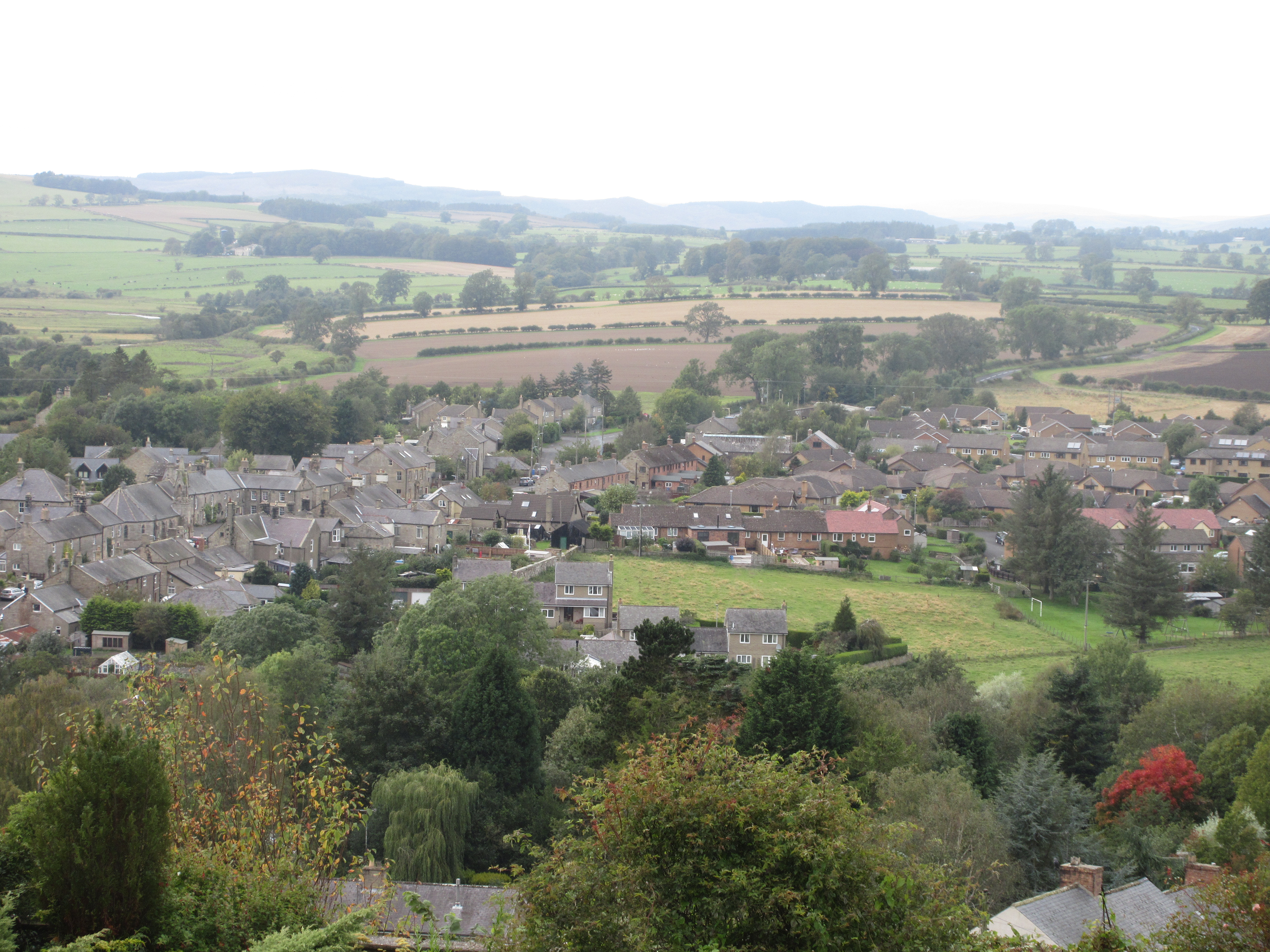
Four of us; Brian, Margaret, Dave and I are setting off for another well walked path starting in Rothbury.
Rothbury is a small town in Northumberland, reached via the A1 north, the A697 at Morpeth and the road to Rothbury at Weldon Bridge. Once in town turn left onto Bridge Street, turn right once over the river and turn into the free car park.
Free car park, next to the river which is home to several ducks.
Rothbury is on the edge of two maps. If you are going north of the town use OS Explorer 332 Alnwick and Amble but going south requires OS OL 42 Kielder Water and Forest. And on a circular tour take both, or copy and laminate.
We had breakfast at the Running Fox in Longframlington.
The walk:
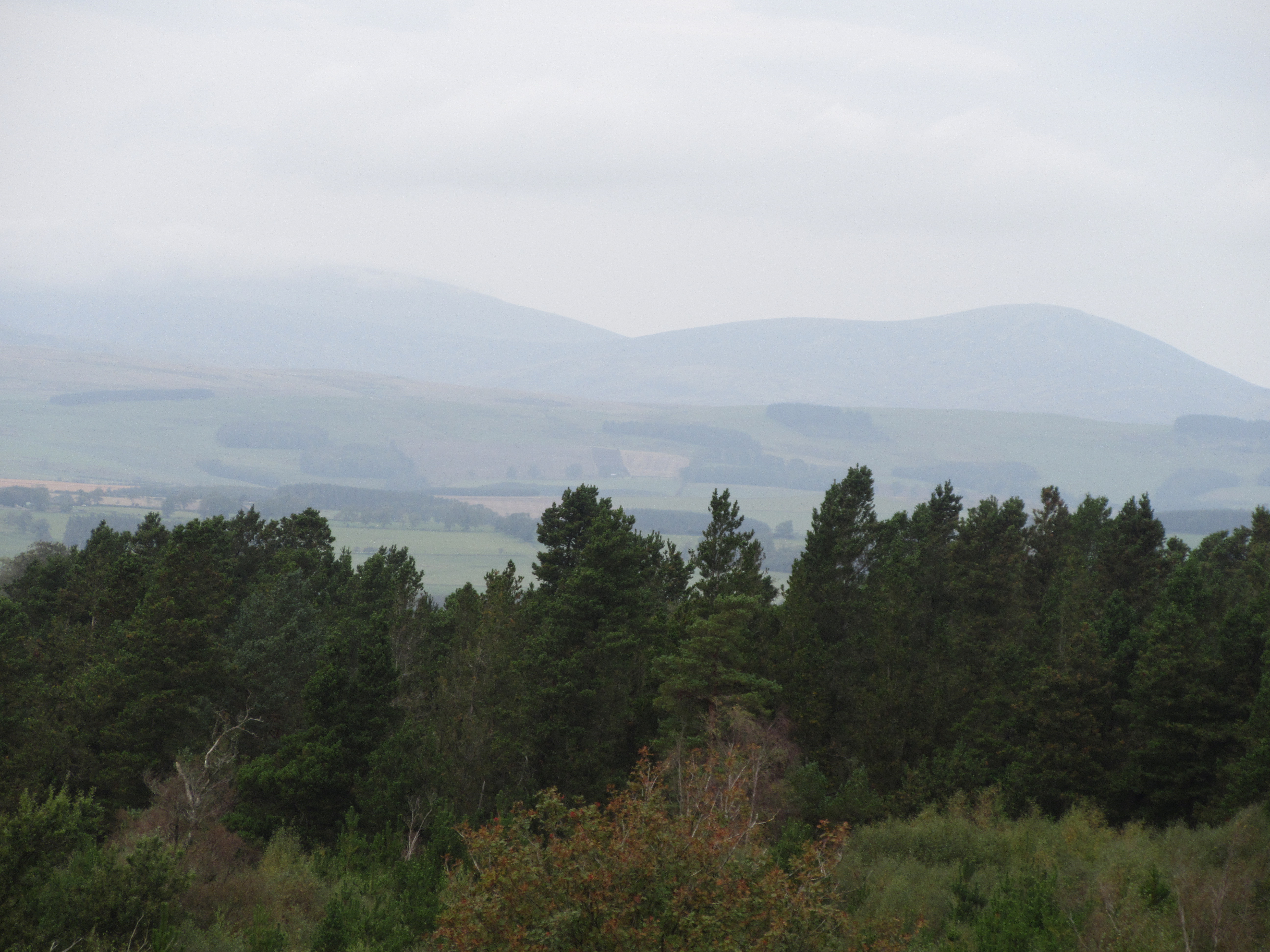
Cross the River Coquet by the footbridge and walk up Bridge Street to High Street. Cross the road and find the Nick, a narrow footpath that climbs up and up and up quite steeply to a road. Easy to find the nick is next to a pub called the Narrow Nick which unfortunately is closed at the moment. The nick comes to a road, turn left then right again as the Nick climbs up and up and up to Hillside Road. Cross the road and climb up and up until the path comes out onto moorland. Follow the path which is a little east of north until it comes out onto a forest track in Primrose Woods.
Exactly what it says.
Follow the track to a junction and turn left, heading north west. Watch out for a marker on the left and follow, as we did at Dave's suggestion to be different, a footpath that meanders, his words, through the heather, which has sadly lost its colour. The meander takes you west then south before it meets an easy going grassy track.
Watch out for a large gate on the right, festooned with markers.
It takes the walker down a lovely grass track leading to Physic Lane.
The gate to Physic Lane The village of Thropton from Physic Lane.At the bottom of the lane there is a small estate called Village View, cut through it (quite legally, there is a path) to the road, passing the Cross Keys pub and continue down to the bridge over the Black Burn. Cross, using the footbridge for safety, and turn left, cross the road and go through a bit of waste land that is home to several coaches and join the footpath that follows the stream until it comes to a footbridge over the Coquet.
Bridge over quiet Coquet.
Having crossed the stream follow the footpath across fields in a southerly direction to the road near Great Tosson. A short distance up the road is the Tosson Lime Kiln which has a small car park and a couple of picnic tables which we made use of for a Herbie.
The great Tosson Lime Kiln from inside and outside with an information board too. For lunch, apart from our own sandwiches and drinks we shared Titans, Almond slices and sweet and savoury offerings from Mrs A.
The walk continues up the road towards Great Tosson. Once almost there turn right at the farm and watch out for a sign post on the left. The footpath climbs, up and up and up across fields until finally entering the plantation. At the moment there are operations going on in the woodland and there are several diversions but follow the red walk signs up the track and then on a footpath on the left which brings you to the foot of the staircase leading to Bob Pyle's Studdie. The path here has been greatly improved by placing large stones on it to form a staircase, otherwise it would be very muddy. The staircase climbs up and up and up until it reaches the cairn at the highest point on Simonside.
Information and a camera strap. Watch out for the Duergers, the dwarves who take walkers away as slaves in their mines beneath the hill.
Looking back down the staircase from Bob Pyle's studdie. Cairn on the top of Simonside.From this point the going is fairly easy, the path, which is flagged follows the ridge passing Old Stell Crag, Dove Crag Cairn and The Beacon Cairn before descending to the car park at Lordenshaws.
On Simonside Looking down on Rothbury I'm always well behind these day!From the car park at Lordenshaws take the footpath heading north, going off it to look at the fort and settlement if you want, but head for Whittondean. (Approaching Whittondene Dave and I saw seven hares in a field, sitting and chatting and then taking off at speed across the grass). From Whittondean follow the road past The Reverend Sharpe's folly and turn right going downhill back to the car park.
All you need to know about the folly.Changed we headed for the Shoulder of Mutton at Longhorsely which did not have the promised Timothy Taylor's Land lord ale but did serve a pleasant Yorkshire Blonde.
Contains OS data, copyright. Crown copyright and database right 2020.
THE WALK IS ABOUIT 12 MILES WITH SEVERAL STEEP SECTIONS
A few more:


Passing the cross keys pub. Sacrilege. Nice photos.
ReplyDelete