Translate

Saturday 28 November 2020

 GREY FRIDAY (NORTHUMBERLAND) NOVEMBER 27th

It's Black Friday again, another import from the US along with trick and treat at Halloween, school proms and going to the movies instead of the cinema or the pictures. In the North East of England it's a very grey day, cold and overcast but hardly any wind. Seven of us are off for a walk on the coast, passing through Craster. As we exceed the recommended group size of six during Covid we have split into two groups, four and three. Who am I kidding.

The walk starts at a farm called Sea Houses (Not Seahouses, a town further up the coast) . To get there A1 north to Alnwick, turn off for Denwick and follow signs for Howick. Go past the entrance for Howick Hall and head for the coast. Near the farm there is off road parking for about a dozen cars and it's free.

The map to use is OS Explorer 332, Alnwick and Amble.


              Like good citizens we arrive in our separate cars.

Once booted up and wrapped up as it is cold we set off. Near the car park is a path to the coastal walk, see the sign post in the picture.

At the coastal path we turned south and walked past Rumbling Kern and Howick Haven to Sugar Sands, famed for the fresh water spring that bubbles from the rocks.


Sugar sands, the spring is below the headland across the footbridge.

We turned into Howick Burn dene on the north side of the footbridge. The footpath enters the Howick Hall arboretum which is open for free between November and March but is part of the Howick Hall experience the rest of the year. Many of the trees have labels attached telling the type of tree and its origin. 


                             Howick Hall arboretum

We left the wood near the entrance to Howick Hall.


                   Howick Hall entrance. The home of the Grey family one of whose ancestors gave the world Earl Grey Tea, a beverage flavoured with bergamot. Personally I prefer proper English tea. Earl Grey, in the 19th century, was responsible for the Great Reform Act which expanded the electorate (male only) by about seven.

Close to the entrance is a track which leads downhill to fields behind Hips Heugh. At the road near Craster South Farm we turned left then right towards the arch across the road. Immediately after the arch we took the footpath on the left.


                       Turn off left at the archway above. Hips Heugh below.
The footpath leads to the hamlet of Dunstan, where we turned right. A house on the corner is called Old Ale House and just beyond it is the entrance to a couple more cottages. But hidden from view in a corner and without a finger post is a tiny stile which carries the knowing walker into a very narrow footpath between the houses. No room for fatties. The footpath meets a road and almost directly opposite is a post pointing the way. We took the path and crossed fields well behind The Heughs until we came to the farm at Dunstan Square.
From here we walked "the tank road", a concrete strip rumpured to be laid for rapid movement of tanks when the country was invaded in WW2.
It passes an interesting pill box made of fossilised sand bags and a lime kiln.
                              Pill box
                   Most walks have a lime kiln it seems.
The concrete strip ends at Dunstan Steads farm and we walked down to the golf course, declaring a Herbie by a hut there.
                                             Stonechat
                                   Herbie time: Club biscuits ,mince pies, ginger biscuits, almond slices and  savoury flapjacks lemon drizzle cake from Mrs A.


                John demonstrates catching the tiger, a Tai chi move.
Lunch over three of us (me, John L and John H) and for separate reasons decide to head back to the cars. The other four, Dave, Harry, Margaret and Brian headed north for Low
Newton by the Sea, extending the walk by about 4 miles.
The three of us took the footpath alongside the golf course, taking advice and watching out for flying golf balls even though there was nobody on the course. The footpath eventually joins the one on the landward side of Dunstanburgh Castle, passing the famous anticline too.
                          The famous anticline

 The equally famous Dunstanburgh gatehouse.
Walking across the fields to Craster we remarked that this was the only time any of us could remember that there were no other people around. The village was empty too, John L thought it was like a scene from The Triffids. (John Wyndham scary scifi tale). So I closed my eyes in case there was a flash of lightning and we were all blinded.


                           Deserted Craster harbour.
The three of us walked the coastal path back to Sea Houses, passing the Bathing House,

Seventeenth century Bathing House, remodelled in 1840 and built for the ladies of Howick Hall, providing a place for changing and paddling in the pool below the cottage. A set of steps down to the pool was cut in the rocks. The cottage is now a holiday let.
Back at the cars we changed and went home as pubs are still closed.

This lovely walk is just over 10 miles, easy going too although the paths can be muddy.
The four who extended the walk to Low Newton made it a stroll of 13.3 miles, but returned part of the way in the dark.


                      Contains OS data, copyright. Crown copyright and database righjt 2020
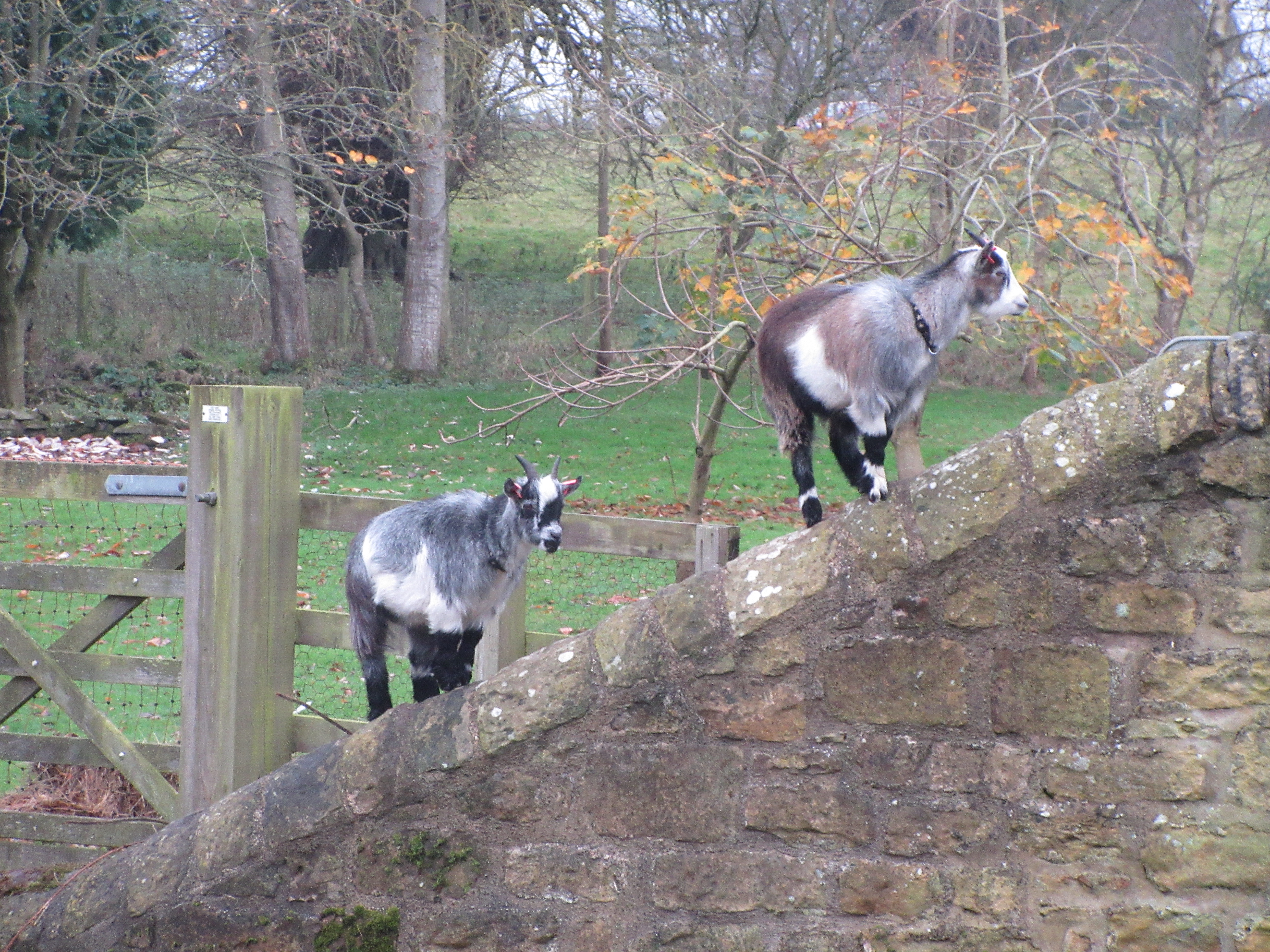
                                      Grey Friday
                        Hooded crow, immigrant from Scotland
                            In the arboretum
                                        Pond in the arboretum
                On one walk, on a wet day, this was a dining room
                                               Rams
                                                  Horses

Thursday 26 November 2020

 Blyth Spirits. (Northumberland) November 25th

  An extra midweek walk for three of us, Brian, Margaret and me. We met at the Mermaid car park at the south of the town of Blyth and had coffee at the fish and chip shop/restaurant/ice-cream parlour before setting off. 

The map for this walk is OS Explorer 316 Newcastle upon Tyne and it could be useful on the second half.

                      Car park and cafe at Blyth. Plenty of room and it's free.
  We set off, after some initial confusion as to the actual starting point, and walked south, passing the beach huts before descending to the sandy beach itself. There is a footpath/cyclepath that runs from the cafe to Seaton Sluice if you prefer not to walk the sandy beach.
                             Blyth beach huts on the promenade above the golden sands. Lots of walkers out with dogs.

                         Blyth was a submarine base in both world wars and the defensive battery remains. Open to the public sometimes. The gun is imitation.
The sand was soft and a little hard going as a result but good leg strengthening exercise.
When we reached Seaton Sluice we followed the lower path alongside the old harbour, crossed the river by the footbridge and turned right to go under the modern road bridge and into Holywell Dene.
                       The cut was made in the 18th century to make the loading of coal and glassware easier. It was built for the Delaval family, local land, glassworks and mine owners. Trade declined in the 19th century. The cut had locks at either end to provide a steady water level. The sluice, a device to clear the old harbour (below) has long gone.


       The old harbour, footbridge and road bridge.
Once in the dene we followed the Holywell Burn. Initially through a field and then into woodland. At one point there is a choice, a fairly smooth path on the north side or a rougher undulating footpath on the south. We chose the south. At at least two spots the Friends of Holywell Dene have placed bird feeders in the trees, we watched blue tits, great tits, nuthatches and chaffinches happily feeding. 
                                    In the Holywell Dene
                           Spot the birdfeeder
                                  Spot this one

Once there was a railway
At the railway bridge we took the track on the left to Holywell Village. When we reached the first houses we turned right across fields to Holywell Pond where we called a Herbie and sat on a bench by the bird hide.
                     Holywell Pond from the bird hide. Heron on the island ensuring a good walk.
Sitting in the sun we shared Skinny whip bars, savoury buns and lemon drizzle cake.
Lunch and bird watching over we followed the track east, crossed the old railway line and having walked the edge of another field turned north east towards Seaton Delaval Hall Farm.
When we reached the A190 (the Avenue) we turned left, crossed the road and turned right onto a minor road. When the road turned sharp left we continued on the farm track towards Seaton Red House Farm and then on to Lysdon Farm. Through the yard and into a field which was grazing for several horses, very friendly too.
The footpath here runs close to a railway line that is mostly used to bring fuel for the power station at Ellington. We walked through a small plantation and across more fields with more horses until we reached South Farm where we were politely told we were on the wrong side of a fence, our feet were not treading a public footpath. Round the farm though and we were on the A1061 . We turned right and were soon back at the cars.

Contains OS data, copyright. Crown copyright and databse right 2020.

The walk is about 9 easy going miles, lovely mixture of coast, woodland and fields.


                                  Obelisk on Delaval Hall estate


Saturday 21 November 2020

 Bonnie Shaftoe Crags again. (Northumberland)

November 20th.

Today's walk is a cut down version of another local favourite based on Bolam Lake and village. Fairly close to Newcastle we got to the start through Ponteland, taking the right fork at Belsay and, just beyond the car park at the lake, turning right and going to the church at Bolam. There is a limited amount of parking in front of St Andrew's. It is free, whereas the car park by the visitor centre at the lake is not and one of our team is, allegedly, a tight fisted Yorkshireman who doesn't like to pay.

The map for the walk is OS OL 42 Kielder Water and Forest.

There are four of us out on a day that is cloudy and slightly damp to start with. We are Margaret, Brian, John L. and me.

                                       Parking at Bolam church but go to the very end for best car park photo ever, no kidding

The church of St. Andrew has a Saxon tower, most of the rest is Norman with later additions.

Once changed we walked along the road and down the hill to the car park at Bolam Lake.Thgere is a visitor centre and, because of lockdown, a take away cafe for drinks and snacks. There is also, for the duration of lockdown, a one way system in operation on the footpaths through the woods and round the lake. We followed the path on the north side of the water, heading west until we met the road  where we turned right and continued to Bolam West Houses at point marked 153 on the OS map. Here we turned left and took the farm track  towards East Shaftoe Hall. The track was muddy, even on the section with concrete slabs. Unusually there were quite a few other walkers out too. At one point the track veers left but we followed the grassy footpath alongside a stone wall.

                                             Grey and muddy day

The footpath, muddy, soon reaches Salters Nick, a narrow small gorge once part of the trading route known as Salters Road. 

                           Damp and misty following the wall to......
               

            The end of Salters Nick where other walkers are having lunch. I wonder what they share?

Out of the nick we turned south west on another muddy footpath which passes Shaftoe Grange.

                                               Shaftoe Grange.

The path turns south east and we walked up to the Piper's Chair and declared a Herbie. The spot has good views to the east and south and it is possible to scramble up onto the rock but nobody bothered today.

                         Lunch at the Piper's Chair. There is a depression on the top which, according to tradition, was filled with wine at one of the Shaftoe family's weddings. (Not the Shaftoe who went to sea by the way, he was from County Durham) . We shared mince pies as Christmas is on the way, ginger biscuits and vegetarian snacks from Mrs A. (And lemon cake)
After lunch we continued on the track towards East Shaftoe Hall, passing the foundations of an ancient fort, probably Iron Age. 
                          East Shaftoe Hall. The left hand side is 14th century, the rest 17th
                        Walled garden at East Shaftoe Hall.
We took the path in front of the hall, heading almost due south across fields. In Dave's absence I pointed out to John the ridge and furrow lines in the fields and the possible line of a Roman road. He seemed quite pleased. 
At the end of the path across the fields we turned left on a good dry track passing West Tofthill and the farm at Sandyford.
                          Symmetrical Sandyford. John was pleased with this too, he had never noticed, before.
Just beyond Sandyford the footpath goes off to the left across a field to a footbridge . In a field, as we approached Shortflatt Tower we came across an old friend:


                 Baby photo, July 2020

                              Hasn't she grown!
After feeding the colt we took the footpath through a wood and across fields to the White Gate. From here it was not far to the south car park on Bolam Lake from where we walked the footpath round the shore to the Visitor Centre where we stopped for a hot coffee. In July it had been ice cream. From there we went back up the hill to the church, the cars and home.
                                     Bolam Lake, looking cold


This walk is about 7.6 miles, easy going but muddy in winter.


Contains OS data, copyright. Crown copyright and data base right  2020.

And a few more