Translate

Saturday 28 January 2023

The folks who walk on the hill

 The folks who walk on the hill. January27 Northumberland.

The Algar Variation
MUD WARNING
Days are slightly longer lightwise but we are still having a walk near home. A repeat but a good walk from St Andrew's Church in Bolam. Well almost a repeat as Brian has come up with a slightly different route.
Drive through Ponteland and just after Belsay turn right for Bolam Lake. Beyond the visitor centre turn right up the hill for the best part of a mile before taking the lane on the left down to the parking area at the church.
On the way call in at the Blacksmiths cafe in Belsay, close to the entrance to Belsay Hall for breakfast.

The Blacksmiths at Belsay, a five star bacon sandwich.
A good turn out: Brian, Margaret, Ian, Harry, John Ha, John H, John C  and me.
Useful maps: OS Explorer 325 Morpeth and Blyth and OS OL 42 Kielder Water and Forest.
Bolam comes from Old English  Bolum meaning place on the round hill or maybe Old English for tree trunks.
                   St Andrew's church Bolam. Saxon tower, 12,13th c nave

                            Small window where a WW2 bomb pierced the wall but failed to go off.
      We started the walk going through the churchyard at the west end of the building through a well overgrown section before going through a gate into fields. heading north we past Angerton Steads with its own tennis court, crossed the long dismantled railway and reached Low Angerton.
                        Ofstile gave this fine example an outstanding grade
                                 Booted up pheasant at Low Angerton.
  Normally at this point we head north on the road, cross the River Wansbeck and then head west across fields but this is the Algar Variation number 1 "Gadgies". We headed west on the farm road from Low Angerton, recrossed the dismantled railway, found the fingerpost on the right and crossed fields to the farm at Bickerton.
               This magnificent creature is at Bickerton Farm, along with his flock.
Having crossed more muddy fields we came to Highlaws Farm turned north and crossed the Wansbeck by footbridge.

                 The Bridge on the River Wansbeck.
Back on the route of previous walks we headed west across fields with  a crop of oil seed just bursting through, to Middleton Mill, followed the farm track, turned left at the road, crossed the river again and followed the finger post on the right.
Not far from the post, slightly uphill there is a curved animal shelter that made a comfortable Herbie Spot. No seats as such but sit mats come into their own.

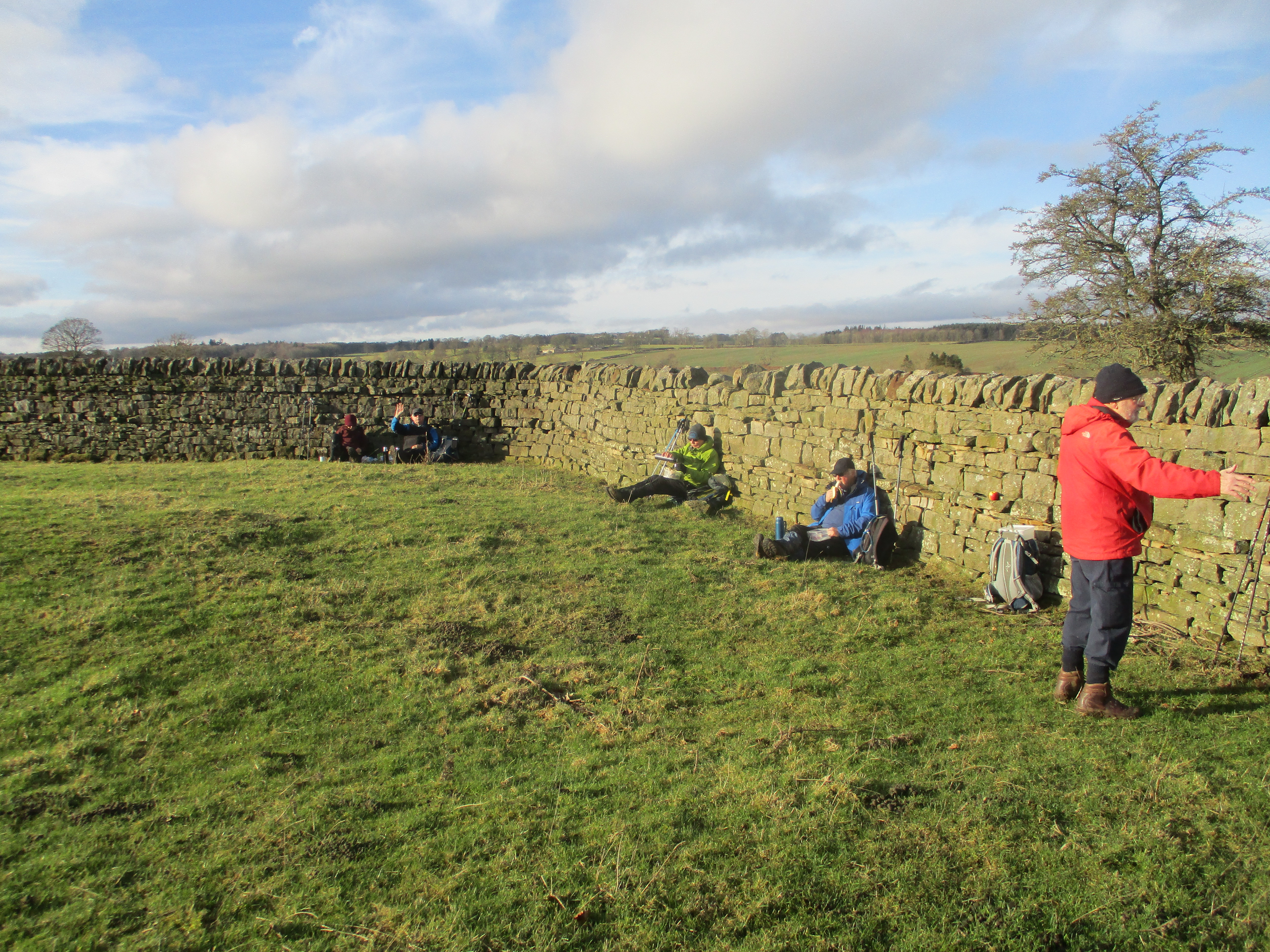
             Lunch time: apple pies, chocolate biscuits, cookies, savoury and sweet cakes from Mrs A.

Lunch and politics over we headed off to the farm at Middleton South.
              Foxy Loxy at Middleton South. There is also a hound and a huntsman.
More fields and a standing stone later we came to a stone wall. If you follow this walk there is a stile almost at the west end of the wall, and there is a gate in the middle of a pool of muddy water.
Following the track past Half Moon Plantation we turned right at the second gate, close to the entrance to Salters Nick and walked the muddy trail to Shaftoe Grange.
                                 Shaftoe Grange. These Shaftoes were distantly related to the famous Bobby

                               Piper's chair, overlooking the crags.
Moving on we came to East Shaftoe Hall
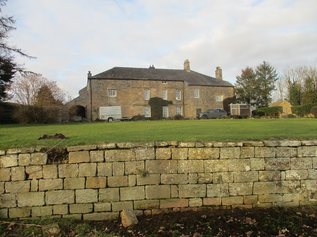
                     East Shaftoe Hall, the left end is 14th century.
Beyond the hall we followed the farm track initially north then east to Bolam West Houses. TYhe track is partly paved with concrete sleepers from an old railway in Glasgow.
From Bolam West Houses we had to walk along the road before we could join the footpath round Bolam Lake. ( The footpath at the west end of the lake doesn't appear to have recovered from storm Arwen in 2021). A path through the trees at the visitor centre took us to the road and the last threequarter mile walk back to the church.


                    Visitor centre at Bolam Lake and some comfy furniture.
Once changed we headed for the Blackbird Inn in Ponteland for beer, tea or alcohol free drinks for the drivers. I took a young lady to the Blackbird one day in September 1965. Been together since!

           Contains OS data, copyright. Crown copyright and data base right 2023.
The walk is about 10 miles, easy going, little climbing but muddy this time of year.
                                First snowdrops


Saturday 21 January 2023

The black dene, the fenced park and a preacher.

 The black dene, the fenced park and the preacher. (Northumberland January 20th)

A short walk today based on Stannington, a village a few miles north of Newcastle just off the A1. The walk is covered mostly by OS Explorer 316 Newcastle upon Tyne and a short section of it is on OS Explorer 325 Morpeth and Blyth. Easily done without a map though.

Today's wanderers are: me, Brian, Margaret, Ian, Dave, Harry and John H.

There is a large and free car park next to the Ridley Arms pub in Stannington.

On the way to Stannington we stopped for coffee at the Northumberlandia cafe. No bacon.

Northumberlandia is one of the world's largest earth sculptures, built from stone and soil removed from the nearby opencast.

Northumberlandia's head and breast viewed through what the Times described as a forest.

Cae park and Ridley Arms in Stannington.
Stannington is on the west side of the A1, a very busy dual carriageway (well some of it. Dualluing of the rest has been put off again)
Dangerous to cross we walked north to the junction just outside the village, walked under the road and turned south again on a path just off the main highway and sheltered from the noise by a hedge.
After a half mile or so we took the track on the left to Briery Hill farm, walking under the main east coast line as two trains passed. 

As inspectors in Offstile, a government department that looks at the condition of stiles, we gave this one a grade 5. In excellent condition, probably because it was next to an open gate.
leaving the track at the farm we followed the footpath across fields until we spotted another stile that gave access to the woodland at Stannington Banks. This part of the walk is part of the Blagdon Estate, land of the Ridley family. Blagdon comes fro Old English blaec-denu, meaning black valley. maybe there were visible coal seams once, maybe it's just dark.
We followed the footpaths to the Visitor Centre in Plessey Woods Country Park.


                          Plessey Woods Visitor Centre. Food and drink available but we made use of the picnic tables and benches for our Herbie. Brunch bars, cookies, savoury and cake from Mrs A.
Plessey comes from French  (plaisses) and means a parkland surrounded by fences made from woven branches.
There were groups of children playing muddy games or, for the older ones, ticking items off their clip boards. Outside on a cold day, brilliant.
Apparently this area was the favourite spot for John Wesley when he was preaching in the North East.
After the break we headed back along the footpaths that wander the area until we found the right one near Hartford Bridge.
                           A minor tributary to the major river Blyth.


                                  Footpath close to the river.
The footpath follows close to the river, muddy in places and icy in the more sheltered spots.

                  The viaduct carrying the main East Coast Line over the river Blyth.
Eventually we reached the A1 again. To avoid death or serious injury we walked the edge of the road a short distance before following the slip road that crosses the A1. Turning north again we walked back to Stannington. 
As it was so handy we went to the Ridley Arms which, as usual, had a selection of real ales and non or low alcohol beverages for the drivers.

Contains OS data, copyright. Crown copyright and database right 2023.
This attractive walk is about 7.5 easy going miles. If you are lucky like us you will see deer and dippers too.


Saturday 14 January 2023

 Six set off for Slaley. (Northumberland)

Friday 13th January

MUD WARNING FOR MOST OF THIS WALK.

Slaley is a linear village on a hilltop near Hexham. Its name comes slaeve- lech, Old English for " muddy area on cleared ground." To reach the village take A69 west, A68 at Corbridge roundabout and at next roundabout turn off for Riding  Mill. Drive through the village and take the road on the left posted Slaley.

There are six out : Brian, Margaret, Ian,  Harry , John H and me.Morning coffee at Brockbushes Farm Shop at the Corbridge roundabout. Well worth a visit.

The walk is covered by OS 43 Hadrian's  Wall. And it would be very useful. Most of the walk is across fields or woodland tracks. Recent rain and the time of year ensure your boots will be muddy. Mostly well posted but some of the disc markers are faded, direction unclear. Furthermore there are many stiles, some ladder type but most are wooden steps and are in a poor state or slippy. take care, especially of your knees.

We parked on the main street by the church of St Mary the Virgin, an Anglican church dating back to 1832 but built on the site of an older Medieval place of worship.


St Mary's Church and a parking spot.

Booted and coated against the biting wind we set off east, passing the Community shop, the Community pub (Rose and Crown), the small school and the open square of bungalows for the elderly before turning left through a gate into a field. The first stile was fine but the second one was very wobbly, Harry and I wandered around, found we were actually in the wrong field and made use of a ladder stile. Heading North East we arrived at Peel Flatt farm, carefully watched by a lady who had the nerve to think we were lost. As if.


                                       Peel Flat.

We continued North East for a short distance before turning west and following the  Black Burn  to East Woodfoot the West Woodfoot. Turning north for a short distance on the farm road to a finger post we headed west to the B6306, close to the Traveller's Rest.Turning right at a junction we followed the track downhill towards the Devils Water. (Very muddy track too.)


                                            Devils Water.

We followed the footpath on the bank of the river  (Part of a Pennine Journey not the Pennine Way) for a while before settling on a fallen tree for a Herbie. (Apple pies, biscuits, sweet and savoury from Mrs A).

                            Packing up post Herbie.
We continued on the same Pennine Journey until we reached a junction at Redlead Mill. Offered a short cut to save 0.75 of a mile it was accepted  and we walked a soggy path South East past ancient lead mining works to Steel Hall.


                                       Once a hive of industry mining lead

                                                 Hall Burn off the Pennine Journey.
Walking through plantation and then field we arrived at Dukesfield  Hall, on to Middle Dukesfield , East Dukesfield, Palm Strothers and back to Slaley.
Changed we went to the Wellington in Riding Mill which had Blacksheep, an IPA and coffee for the drivers.

                           Contains OS data, copyright. Crown copyright and database right 2023.
The walk is about 9.5 miles. Easy going but muddy!