Translate

Sunday 24 January 2021

The Schill

 The Schill is a Hill, on the border.

Still in lockdown and still obeying the rules, walk locally and with only one other, so today is another revisit. We have not done this walk since 2015. The high point is on the border between England and Scotland with superb views over the lands once plagued by thieves and rustlers - from both countries.

The walk starts in the village of Kirk Yethom, a couple of miles over the border from England. At the moment the Scots are not too keen on people crossing the border as, under lockdown rules, we are asked not to travel far but to exercise from home. Hopefully in the near future things will return to normal.

To reach the start A1 north, A697 at Morpeth, through Wooler and turn left at Millfield, through Kirknewton and find the village of Kirk Yetholm.

There is a small village green next to the Border Hotel and a few benches too, always useful for booting up or down.

The map to use is OS OL 16, The Cheviot Hill, recommended too.

Full team out today and  beautiful sunny weather too.

                 Car parking in Kirk Yetholm. Sharp eyed readers will notice this photo was not taken in January
             The Border Hotel. It is at the end or the beginning of the Pennine Way, Long distance walk between here and Derbyshire. If you finish here you can claim a half pint of beer as a reward, thanks, it is said, to the generosity of the great Alfred Wainwright.
 
Across the road from the hotel a lane leads past a row of whitewashed cottages, once the homes of Romany people. We followed this lane.


This lane is the end/beginning of the Pennine way, it passes a building called Penial House which, as you can imagine, caused some merriment in a group of older men.

After about a mile the the Pennine Way offers alternatives. Take the higher route close to the ancient fort on Great Humbleton, or the lower route. We chose the latter, it climbs at a gentler rate as it follows Halter Burn, past a farm of that name and later Burnhead. Sticking close to the burn we came to Old Halterburnhead, having left the fields behind for more open moorland.

Close to the hill with the delightful name of Black Hag (more likely a reference to peat bog, not an ancient crone) the two Pennine Way tracks become one on the last  steep stretch up to the Schill.

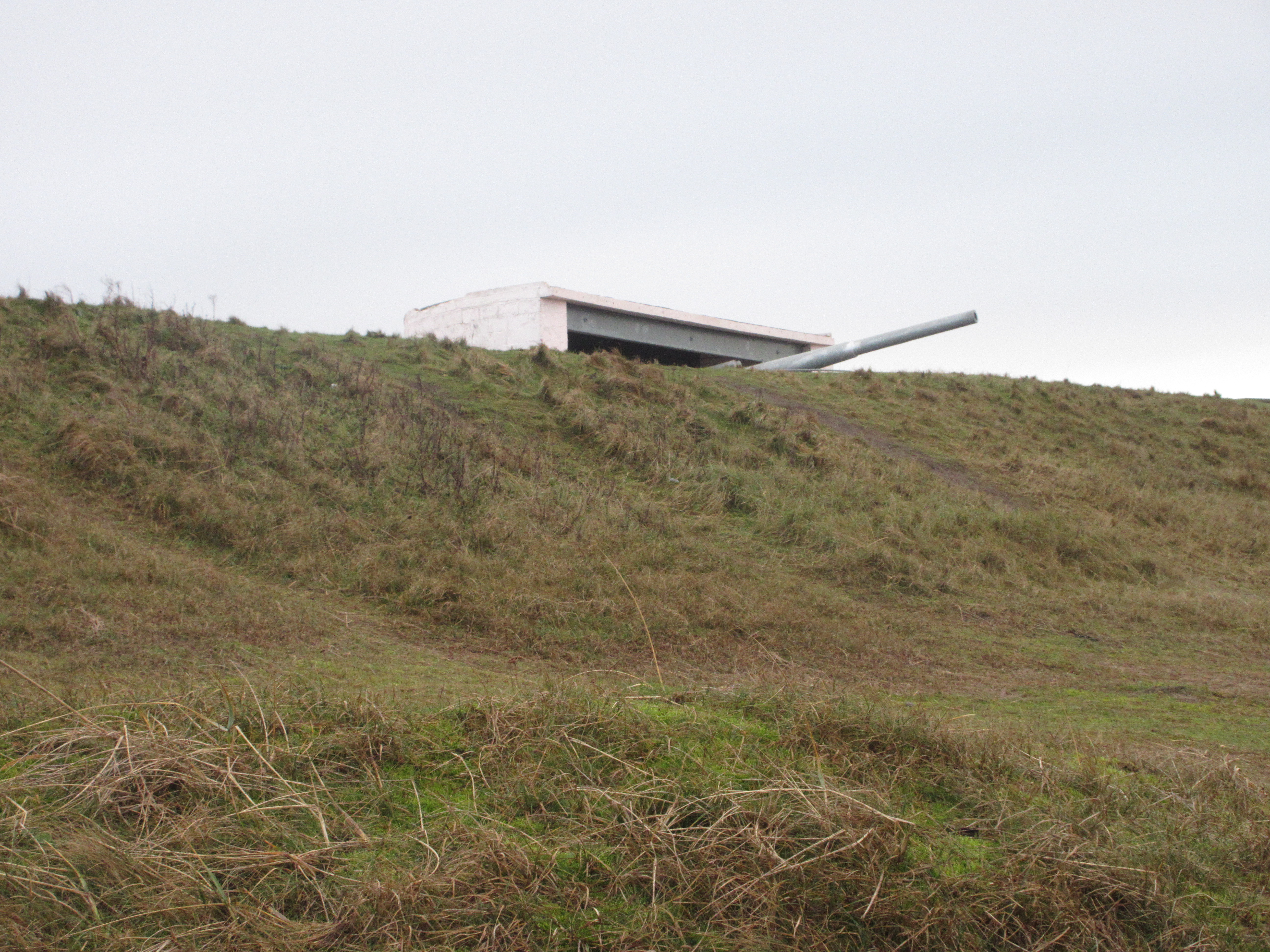
                                                              A distant view of the Schill.

Close to the summit there is a fence, easily climbed and within yards, the rocky top, which makes an excellent Herbie Spot, seating for all as we shared biscuits, cakes and pies while admiring the views.

                                             Final few steps to the top of the Schill

Once we had lunched we retraced our footsteps back down from the Schill, taking again the lower of the two Pennine Way routes. But at the point labelled Piper's Faulds on the OS map we took the footpath on the left that follows the Curr Burn. This footpath follows close to the burn which eventually becomes the Clifton Burn. The footpath goes through Clifton, no more than a few houses nd then reaches the Bowmont Water at Primsidemill.

                  The geese of Clifton Burn.
From Primsidemill the track is on a road for a short distance, actually a stretch of St. Cuthbert's Way, before leaving the road on the right and crossing fields back to the village.
Changed we naturally visited the Border Hotel for refreshment. In your dreams.

Contains OS data, copyright. Crown copyright and database right 2021.
The walk is a good 10 miles, with some climbing but not too steep.

A few;


Monday 18 January 2021

Dream Walking in Lockdown

 Dream Walking.. January 17th

   The country is in lockdown again. Government advice is that we stay home except for essential shopping and exercise, which we may take from home but only once a day. Consequently gadgie walks are temporarily suspended, as are pub quizzes, and indeed the pub. Because of this I've decided to revisit a few favourite walks again and this one is a circular stroll from Blanchland.

Blanchland is a village in south Northumberland. In 1165 the Premonstratensians canons started an abbey there. In 1539 the abbey was dissolved by you know who. In the 18th century the Crewe Trustees brought the place back to life, the village contains many of the walls from the abbey in the houses and the church and the Lord Crewe Arms.

The village church, St. Mary the Virgin, was rebuilt from abbey ruins and contains walls and a tower dating back to the 12th century, with lots of bits added on.

From Newcastle go west on the A69, turn south at the A68 and turn right at Kiln Pit Hill.

The village of Blanchland is on the edge of OS OL 43 Hadrians Wall, most of the walk is on it but a bit is on OS Explorer 307 Consett and Derwent Water.

Of course we are out in force today, a gaggle of gadgies, wrapped against the cold of January.

There is a car park in Blanchland, turn tight as you enter the village and you are there. It has an honesty box for parking fees.

                             Blanchland car park


                   The old village school. Now the White Monks Tea Room. Five stars.

Having consumed bacon or sausage sandwiches, washed down with tea or coffee we set off, passing the village church and turning right towards Baybridge.

                                        St. Mary the Virgin church, Blanchland.

The road to Baybridge is on OS 307 but you can manage without it. There is a car park at Baybridge too, should you wish to start from there. Beyond Baybridge, and heading west the road becomes a track, passing Newbiggin House, rebuilt in Neo-Classical style in 1906 after a fire.

                            Newbiggin House
Beyond Newbiggin the track follows contours through plantations and open fields to Riddlehamhope which is at GR911499 approximately and is in a state of disrepair. It does however make an excellent Herbie Spot.

Having a full turn out made it a fine feast. Biscuits, flapjacks, slices from Mr Kipling, mini apple pies and cake from Mrs A.
                          Lunchtime at Riddlehamhope
Having eaten too much we moved on along the track going west before turning in a north west direction. At this point there is a choice. Walkers can take the track off to the right which is the Carriers Way and crosses Birkside fell to re-join our walk on Burntshieldhaugh Fell or, as we did, head north on a tour of isolated farms.
The first farm we came to was Harwood Shield. Beyond the farm the path dips down and crosses Stobbylee Burn before climbing gently to Stobby Lea and then east to Steel. At Steel we headed north to Hesleywell farm and from there the walk begins to turn slowly back to the start, calling at Burnshield Haugh.


              I should carry a notebook or make notes on my phone. These three farms are:Harwood, Steel and Hesleywell, but I can't remember which is which.
There are several tracks crossing the moors in this area, some serving the shooting butts that are lined up to offer defence against the grouse. The track we followed heads east, crossing the Carriers Way before turning south to Pennypie House.


Pennypie house acquired its name by selling pies at that price to men on  one of the Carriers Ways

At Pennypie there are two tracks, take the right one back to Baybridge or the one we took to Blanchland. This part of the walk follows the long distance "A Pennine Journey" walk, devised in 1938 by Alfred Wainwright. It is a circular walk, not to be confused with the equally impressive but linear Pennine Way.
The road back to Blanchland is through what was an area of lead mining.


                   The Engine House at Shildon and the information boards that detail he mining in the area.
 Soon we were back in Blanchland and having changed etired to the Lord Crewe Arms for refreshment.
Of course it had Timothy Taylor's Landlord on tap, plus one or two other beers.

 Blanchland is in Northumberland, on the border with Durham. The coat of arms incorporates the Durham Lions, "A strongly United Force" is my guess at the motto but corrections accepted.

Contains OS data, copyright. Crown copyright and database right 2021
And a few pictures of pretty Blanchland;


Saturday 9 January 2021

 Walking Locally as Advised. January 8th. Northumberland

Mud and water warning

 The UK is back in lockdown, government advice is to stay at home except for shopping for essentials and exercising, locally.

The traditional first walk of the gadgie year is from Blyth to North Shields along the England Coastal Path, ending at the Low Lights pub which is a proper ale house, good selection of ales, a roaring fire and a menu consisting mostly of delicious pies. Sadly it is closed, like every pub in the country. As a result I am cutting short my walk and going from Blyth to Seaton Sluice and up the dene to Holywell, a walk we covered a few weeks ago, but local.

The map to use is OS Explorer 316 Newcastle upon Tyne.

Much to my surprise, when I arrived at the car park in Blyth who should I meet but Brian and Margaret who had decided to do the same walk, it being local for them too.

Fairly quiet today but there were quite a lot of people out exercising, locally.

We headed south, suitably socially distanced, along the Eve Black path which runs from Blyth to Seaton Sluice. An alternative is to walk along the beach but we decided the sand would be very soft today and soft sand is hard work.

At Seaton Sluice bridge we crossed the road and took the steps down to the footpath on the north side of Seaton Burn.

                  The Melton Constable pub at Seaton Sluice, named for a village the Delaval family owned in Leicester, or somewhere down there.
            Seaton Sluice harbour. Once busy exporting coal and glass. 
We followed the path for a short distance before leaving it to scramble up a muddy, leaf and bramble covered bank to see the Starlight Castle, but we didn't spot it. One day I shall return to find it.
It is a ruin, a folly supposed built by one of the Delavals for a bet in 1750. I got a picture from the internet but it won't upload for some reason.
                  I found this, today there is little left

So we went back down the muddy bank and walked the footpath through the dene, crossing footbridges first to the south side then back again. There are a number of bird feeding stations in the dene but they were not being used today, although we did see this chap.
                              Distant view of a Little Egret as we entered the Dene
                                                           More water than nusual


                                   cheeky, friendly robin.
At one point the path divides and as we were looking for John Lockey Brian took the low road and Margaret and I took the high road. Close to the bridge that crosses a long dismantled railway we saw John, out for a socially distanced permitted exercise. He walked with us to the first houses in Seaton Delaval. John went home and we three followed the footpath between two houses and then across a field to Holywell Pond.
There is a bird hide, we declared a Herbie and sat inside out of the cold wind, sharing apple and blackcurrant pies, savoury buns and cake, plus a very welcome glass of brandy from Brian to celebrate the New Year.
Lunch over we headed roughly east across fields and the same dismantled railway before turning north over wet fields to Seaton Village farm and the road called The Avenue, passing close to the Delaval Obelisk.
                                             Seaton Delaval Obelisk

We turned left then almost immediately right on the road to New Hartley. To help us on our way a cold shower of rain and hail blew up, lasting only ten minutes probably, it seemed longer.
We left the road at Hartley Junction and followed the farm track to Seaton Red House Farm then on to Lysdon Farm.

                  A Romany caravan at Lysdon Farm. They are built there.
We crossed one more field at the farm. The gate into a wood was in the middle of a large pool of deepish looking water. We watched a wellington clad lady approach the gate but as the water crept  up her boots she turned back The four of us scrambled over a broken but barbed wire fence. Once through the wood we said our farewells to the wellington lady and turned right along the edge of a very muddy field. 


                                         Very muddy fields.
In the corner of the field we came to an almost square shaped fishing pond, bereft of anglers today and shortly after joined a metalled road that used to be the track to the local tip. Somewhere beneath us was the remains of our well loved twin tub washing machine that had served us well through two babies.
Soon we were back at the car park, we walked round the Blyth Battery, changed and went home.

                                               Blyth Battery. The building is real, the gun isn't

Contains OS data, copyright. Crown copyright and database right 2021
The walk is about 9.3 miles.
Too cold for many photographs, I wanted to keep my gloves on but, courtesy of Brian....