Translate

Saturday 20 August 2022

This could be the last time.................

 This could be the last time.................for now.

Coastal walk from Amble in Northumberland.

On Monday I'm off for a new knee and will be out of gadgie action for some time. Brian has devised this easy going coast and country stroll with an ascent of at least 100 feet as a temporary farewell.

A bigger crowd than the last few weeks. Me, Brian, Margaret, Dave, John H., John C., Harry.

The walk starts in the small port town of Amble, found by taking the Northumberland Coastal Road, most of which is numbered A187. There is parking at the East Cemetery, close to the harbour. Parking is next to the north wall of the cemetery.

The walk is covered by OS Explorer 332 Alnwick and Amble and OS Explorer 325  Morpeth and Blyth. Take a bus pass.

                       Car parking at Amble East Cemetery
Having donned boots, but not gaiters as we considered it to be a dry walk we set off along the side of the cemetery towards the sea and headed south on the England Coastal Path.
The path goes through the dunes and is a bit uppy and downy so to speak so we descended to the beach and walked on the sand which fortunately was quite firm. Soft sand is worse than soft snow, but warmer.

Coquet Island, off the coast at the mouth of the River Coquet. Considered to have been a monastic site since the 7th century but the remains are a monastic cell built in the 14/15th century. The lighthouse is 19th century.

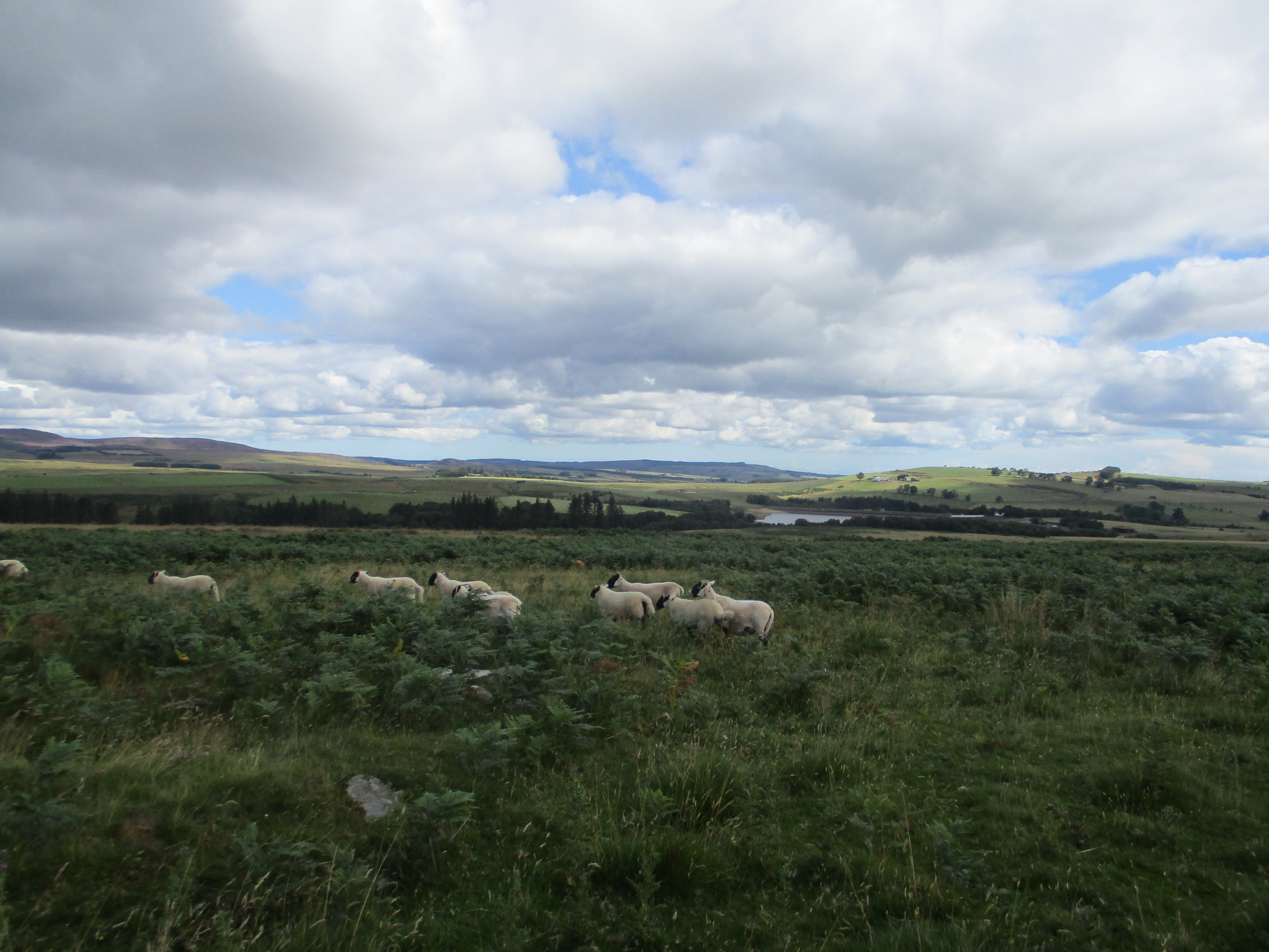
Approaching Low Hauxley, passing Silver Carrs, Bondi Carrs and Elm Bush, all rocky outceops with wonderful names, we rejoined the Coastal Path and headed inland to the Low Hauxley Nature Reserve.


        Morris Minor in Low Hauxley. The first car I drove was one of these. This must be at least 50 years old and looks to be in good condition. Easy to drive with no distractions like CD players, hands free phones etc.

Although we had covered a mere  two miles we called a Herbie and made use of one of the tables in the visitor centre for our picnic. We had finished sharing apple pies, flapjacks, savoury and sweet cakes from Mrs A when we politely informed by a warden that the tables were reserved for users of the cafe and we should have gone down a path to more public tables.

One of the ponds at Low Hauxley. A large variety of birds occupy the water and surrounding area. Well worth a visit, but be careful where you picnic.

Returning to the Coastal Path we followed the track, battling cars and a combine harvester until we reached Ladyburn Lake, part of the Druridge Bay country park. And although we had only covered a little over four miles it seemed sensible to make use of the picnic tables by the visitor centre for another Herbie.


   Ladyburn Lake at Druridge Country Park. Very popular with families, canoes and paddle boards. There are a number of these lakes in the area, caused by subsidence from the days of coal mining.

Back to the track and down on to the beach again, walking along the sands of Druridge Bay. At Dunbar Burn we left the beach and followed the coastal path again for a short distance before spotting the finger post that sent us on a narrow footpath between more ponds (mile 7) and across fields to the remains of the chapel at Low Chibburn.


               Chapel Ruins at Low Chibburn. Dating back to 1313 when it was the Preceptory of  the Knights Hospitallers ((St John of Jerusalem branch). In the 1550s it became a dower house, a home for the widows of the nobility.

We crossed a few more fields, with stiles, walked up a track which was a junk yard for old farm machinery at came to the pub, the Widdrington Arms.

Not been drinkers today, John  and I caught a bus back to Amble, sadly both of us had left passes elsewhere and had to pay.


Contains OS data, copyright. Crown copyright and database right 2022.

This easy walk is just over 8 miles.

I hope the rest of the team have some good walks and I shall be back as soon as the knee allows.


Saturday 13 August 2022

Consett

 Once we walked a railroad (Durham) August 12th

An odd day out.

  Reduced to a team of three again, Dave< John and I are walking the old railway line from the town of Consett to Tyneside.

Consett once produced iron and steel for the industries of Tyneside and Wearside. The works were closed in the 1980s and there is little evidence left of them.

The walk is easy to follow as it follows what is now a footpath/cycle track from close to the centre of the town. No map needed but the walk is covered by OS Explorer 307, Consett and Derwent Water.

The UK has been suffering a heat wave and drought, both events giving the TV news programmes much to talk about and several hints on how to avoid problems: use sun cream, have a shorter shower, don't run water as you clean your teeth. How do we manage without them.

At least it means we have a hot sunny day for our walk, and it is gently downhill all the way.

To get to the start we caught a bus from Newcastle.


         No car park today so here are two bus stations: Eldon Square and Consett

Once off the bus in Consett we needed to find the start of the Derwent Valley. We walked west up Victoria Street, as far as we could, turned right at the end and walked over open ground, crossed the B6322 and walked through Consett Park.

This civic amenity, possibly financed by the Consett Iron Company has a collection of steel plates set into the path:


                 Mementoes from the days of steel making.

Once outside the park we walked north up a road to the Cricketers' Pub, turned left, crossed  the road and started the walk down the old railway line. 

Since the closure of the railway the sides of the track have been overgrown by trees and shrubs, a dappled sunlit day with some protection most of the way, walking in shadows cast by the trees.

              There are distance/ information posts at regular intervals giving heart to the overheated.

 I think this used to be the station at Shotley Bridge.

The line was built quite high on the valley side giving views looking north over each village we passed. the first after Shotley Bridge being Ebchester which boasts a Roman fort and a convent established by Ebba of Coldingham who also had a convent or abbey at St. Abbs in Scotland. St Abbs Head is a walk well worth doing too!

                                                      Looking North from the railway walk.

After about four miles we called a Herbie (Titans, cookies and carrot cake) enjoying the view and sharing one of the many benches on the route.

We were now in Red Kite territory. Dave, who knows more about birds than your average member of the RSPB said, understandably, that it was probably too hot for most birds to be out hunting. But in the distance I spotted what I thought was a kite. My suspicion was proved to be correct by the man with binoculars. (Note to self, carry yours too).

                                     Red Kites in the sunshine

View from one of the several viaducts crossed on the walk.

Lunch over we continued slowly downhill. still protected from the sun by trees, until we reached the village of Rowlands Gill. We waited at the bus stop for about five minutes before climbing aboard for the ride back to Newcastle.

For a gentle walk this is ideal but today it was most unusual. We were passed by a number of cyclists, most with bells, but we saw nobody with a dog. And this on a route that is usually very popular with canine lovers. The first dog we saw was on the metro at Newcastle Central Station.

            Contains OS data, copyright. Crown copyright and database right 2022
The walk is about 8.5 miles, easy going.  The start and Finish are just off the map


Saturday 6 August 2022

Greenleighton

 Another day, another reservoir. Greenleighton in Northumberland Aug5th.

(Or there and back again)

Only three of us out today, holidays and families again. John H. , Dave and I are repeating a walk from Greenleighton in Northumberland which crosses open fields and circumnavigates Fontburn Reservoir. An easy walk, covered by OS Ol42 Kielder Water and Forest.

From base go through Ponteland and Belsay to Scots Gap, turn right on B6342 and watch out for sign post for Greenleighton on the left. Car parking is provided in an old gated quarry.

Shortly after I arrived a large Mercedes pulled i to the car park. My immediate reaction was to think John had won the lottery but I was wrong. Several other cars arrived, disgorging a group of elderly walkers, just like us. One of them, obviously in charge asked where I was going and when I told him he said the Greenleighton walk was closed because of extensive damage caused by storm Arwen (November 2021).

I had missed the sign on the gate which had this information and an apology. Eventually John and Dave arrived and we decided to miss out the Fontburn area nature reserve and walk across fields to the dam.

                  Full and free, Greenleighton quarry car park.
We walked along the track at the back of the car park, uphill slightly, went through a gate and followed a fence line until we reached the corner of the field. No gate but a dodgy wooden fence so we walked the edge of the field to a gate, went through and hit the moor.
The field, and the moor were not nice even pastures but bumpy potholed land with draining ditches running across. The heather was in bloom and pretty but the roots are like traps and the knee began to complain.
Eventually we reached the woodland on the side of Fontburn reservoir, the fence was down so we went in, went down the slope and found the footpath, complete with footbridges and walkways.

Easy walking alongside the reservoir.

We passed one gate, marked with Waterside Walk marker and continued to the end of the footpath, left the wood and walked the track to the reservoir.


                    Information boards at the top. Bottom photograph is of "Goats on the roof", sanctuary for rare animals. It was very quiet.
We made use of a picnic table which overlooked the low water of the reservoir and shared Titans, Snickers and Almond slices.

                                      Fontburn. Very low but still supporting anglers.

We discussed what to do. I said I was just going to return to the car because the knee was complaining and I had promised to take my wife out to celebrate her birthday.

The others decided to have a short walk too and we went back along the track to the wood, entered, left at the next gate and followed a rough track up to the trig point.


                                            Trig point and quarry

Beyond the trig point we followed a fence, went through a sliding gate and walked the rim of the quarry back to the cars.

                      Lift a few inches and slide


Contains OS data, copyright. Crown copyright and database right 2022.

Very short walk. 4.5 miles.

And we had a very spicy curry.