Eucalyptus trees in Ashington. (Northumberland) November 28th.
Another midweek walk for Dave and I. This time a stroll beginning in Ashington, once a mining village, claimed to be the largest in the world. Currently it is reinventing itself.
A true gadgie walk, we went by bus from Newcastle to Ashington. Not having a car park to show I took a photo of the Metro Station at Regent Centre, Newcastle from where we caught the X20 which sped us to Ashington.
 The Regent Centre Interchange, where train meets bus.
Once off the bus we walked north between what looked like a sports centre and an ASDA store, across a roundabout and down a track popular with dog walkers. We crossed the railway line and immediately turned right along a muddy footpath until we reached Queen Elizabeth Country Park.
Once a coal mine the area was transformed in the 1970s. There is close by the Woodhorn Mining Museum, well worth a visit, and there is a large pond which is partly a nature reserve, partly used for coarse fishing.
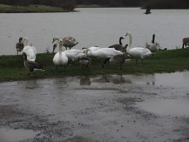
We walked round the lake once, watching the variety of birds on the water, swans, geese,ducks, cormorants and the usual collection of small birds.
 Entrance to the mining museum
 No ugly ducklings
 Pit head wheel, reminder of the past
 A common cormorant
After the circuit of the lake we left the park, crossed a road and followed the old road, now a footpath to Woodhorn. It runs beside a small plantation of eucalyptus.
 Lake at QE Country Park
 Eucalyptus. I am told they were grown for a now defunct local company which used the leaves for oil.
Old windmill at Woodhorn.
At Woodhorn we walked up the road, past the old windmill, still in good if not working, condition until we reached the power station. Originally built to power the ALCAN smelter which has been long gone, it now supplies the national grid. A signpost just inside the gate pointed towards the path, part of the English Coast path.
 Lynemouth power station, powered by wood chips stored in the hoppers on the left
 Another relic from WW2
There was a strong, cold north wind coming of the sea which threw up plenty of spume and also made us feel cold.
We followed the path on top of dunes into Newbiggin where we had lunch sitting in the shelter of the Maritime Centre, looking across the water at the statue of the sea gazing couple and at the large structure in Blyth which has something to do with undersea pipe laying.
Having eaten we decided to catch a bus to Ashington. When we got there we had forty minutes to wait for the bus to Newcastle so we passed time in a pub. An enlightening experience, the pub was packed although it was lunchtime. The happy drinkers were conversing in a high number of decibels, at least one man was refused a drink as "You've had enough" and there was almost a fight. Very enjoyable.
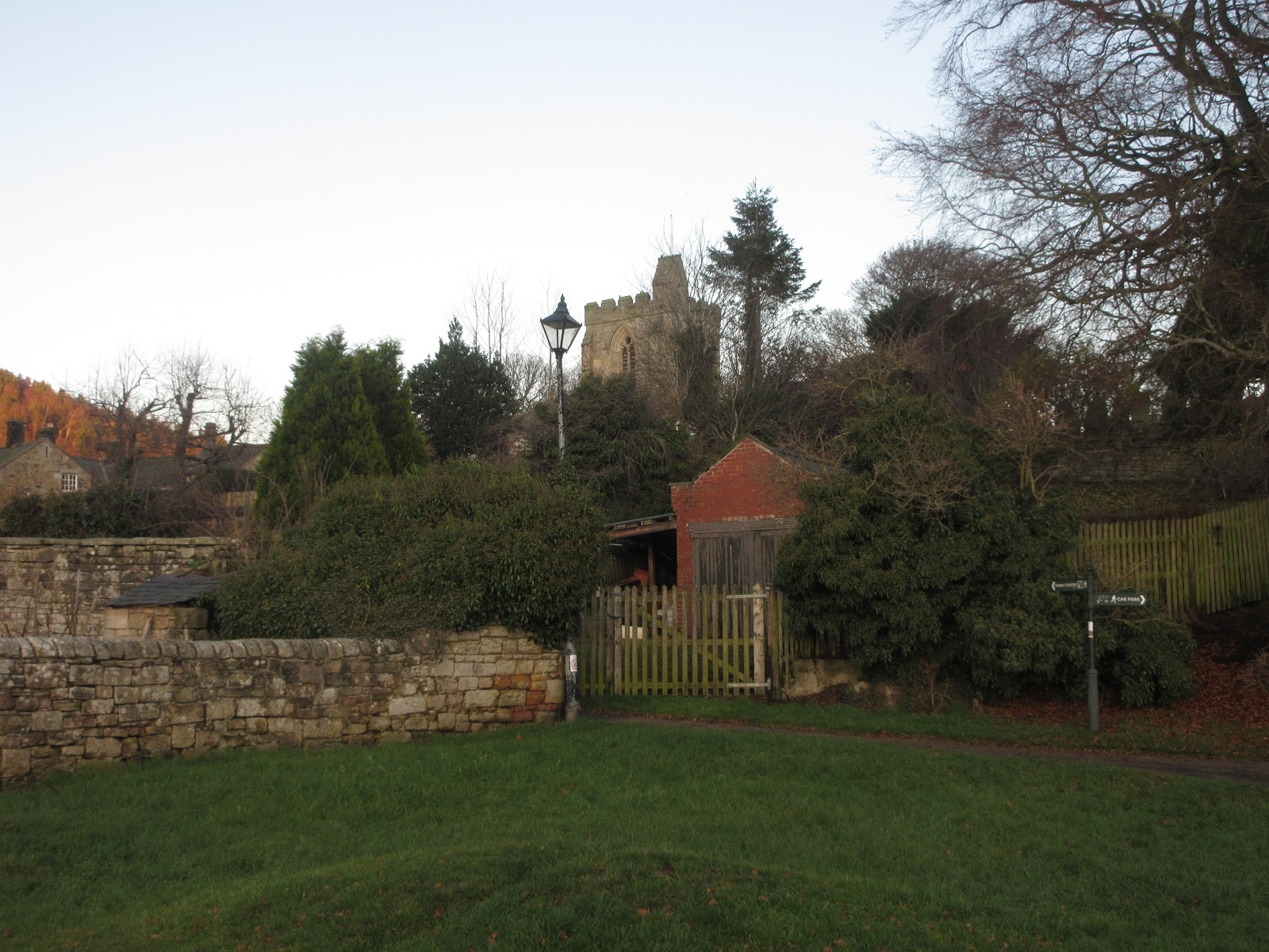
 St Bartholomews Newbiggin. Tradition says it dates back initially to the 7th century.
 Nice decoration on a post in Newbiggin
 Large sea going structure in Blyth
 Contains OS data,copyright.Crown copyright and database right 2019.
This walk is about seven miles, enough on a cold day.


Another midweek walk for Dave and I. This time a stroll beginning in Ashington, once a mining village, claimed to be the largest in the world. Currently it is reinventing itself.
A true gadgie walk, we went by bus from Newcastle to Ashington. Not having a car park to show I took a photo of the Metro Station at Regent Centre, Newcastle from where we caught the X20 which sped us to Ashington.

Once off the bus we walked north between what looked like a sports centre and an ASDA store, across a roundabout and down a track popular with dog walkers. We crossed the railway line and immediately turned right along a muddy footpath until we reached Queen Elizabeth Country Park.
Once a coal mine the area was transformed in the 1970s. There is close by the Woodhorn Mining Museum, well worth a visit, and there is a large pond which is partly a nature reserve, partly used for coarse fishing.
We walked round the lake once, watching the variety of birds on the water, swans, geese,ducks, cormorants and the usual collection of small birds.


After the circuit of the lake we left the park, crossed a road and followed the old road, now a footpath to Woodhorn. It runs beside a small plantation of eucalyptus.


Old windmill at Woodhorn.

At Woodhorn we walked up the road, past the old windmill, still in good if not working, condition until we reached the power station. Originally built to power the ALCAN smelter which has been long gone, it now supplies the national grid. A signpost just inside the gate pointed towards the path, part of the English Coast path.


There was a strong, cold north wind coming of the sea which threw up plenty of spume and also made us feel cold.
We followed the path on top of dunes into Newbiggin where we had lunch sitting in the shelter of the Maritime Centre, looking across the water at the statue of the sea gazing couple and at the large structure in Blyth which has something to do with undersea pipe laying.
Having eaten we decided to catch a bus to Ashington. When we got there we had forty minutes to wait for the bus to Newcastle so we passed time in a pub. An enlightening experience, the pub was packed although it was lunchtime. The happy drinkers were conversing in a high number of decibels, at least one man was refused a drink as "You've had enough" and there was almost a fight. Very enjoyable.


This walk is about seven miles, enough on a cold day.


