Alas poor Tomlinsons.(Northumberland ) Sept 20th
For years we have fed in Tomlinsons of Rothbury when having a gadgie walk in that area. But the café and bunkhouse that has provided bacon sandwiches, tea, coffee and on occasion cake, has closed. Bunkhouse and café, gone, to be converted into apartments, no doubt luxury ones too.
Instead we are eating at the Vale on Rothbury High Street, tea, coffee, bacon...……...
Today's walk is one we have not covered for a couple of years, Copper Snout, a fairly gentle stroll in the Cheviots from Alwinton. To get there take the A1 north, A697 at Morpeth, turn left at Weldon Bridge, drive through Rothbury and turn right on the minor road signposted Alwinton. Parking on the grass verge on the right as you get to the village is free! Parking in the village at the National Park park is not. Guess?
There are six of us, Harry, Dave,Brian, John H., John Ha. and me.
The map that covers the walk is OS OL 16 Cheviot Hills and of course it's on a fold.
The portly gentleman from Caledonia who gives the weather forecast on local TV before joining the giggling matrons on the couch at the end of the programme promised us a dry day with sunshine. He was right, a temperature at one point probably in the low twenties and blue skies offering unclouded panoramas of the hills we walked through on an early autumn day. farmers getting in the last of the crops and preparing for the Alwinton show, ewes on the hillsides, preparing for the release of the tups and swallows gorging on flies before they start their journey to Africa.

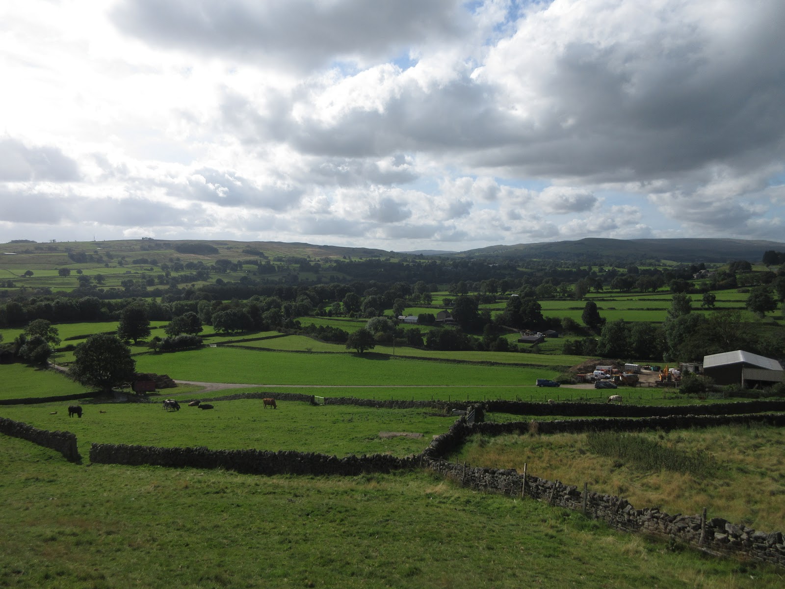
 This has to be one of the most beautiful car parks in Northumberland if not the UK, so it gets two pictures.
Behind the car park is a small stream, across it is a footbridge, the start of the walk.
 Cross the bridge and turn left.
Having crossed the footbridge we turned left on Clennell Street. Looking nothing like a modern street it is an ancient drove road, dating back to iron age times. Once called "the way of the eagles", but there are non around today. The road goes through the Cheviots from Morpeth to Kelso and this section is a grassy track, firm underfoot.
A good section of the walk is on Clennell Street which is marked clearly on the OS map in Gothic script. There are a number of tracks going off it but it is quite easy to follow. On the left at the start is Castle Hills which has an Iron Age fort which we didn't visit, and there are a number of ancient settlements and homesteads, not too easy to identify. There is also a Cross Dyke whose purpose is unknown.
 Out in the hills
There is a steady climb out of Alwinton followed by undulating country until we reached the ruined Youth Hostel near the Cairns marked on the map close to the East West line marked 09.
Although we had only walked a little under three miles it seemed a good spot for a Herbie so we pulled up a few stones and sat in the sun for lunch.
 This is the site of the Youth Hostel, not the remains.
 Post Herbie preparations. We shared Wackos, Hobnobs, Titans and Mrs A's ginger cake. Dave forgot his contribution but still took the offerings.
After lunch we carried on along the track which turned into a forest road, gravelled and lined with timber which is to be used to grow further forests apparently!
If you follow this walk watch out for a marker on the left (between 89 and 90 on the map). It marks the start of the footpath which heads roughly south down Copper Snout.
 Turn left!
Initially the path is a bit boggy, but today not as bad as previous occasions, an indicator of the recent lack of rain.
 Sheepfold or Stell as they are known
 Rolling Hills, the skyline is the Anglo Scottish border.
Once through a gate the path changes to a grassy track, easy walking, and it goes mostly down hill to the farm at Shilmoor.
 Looking down on Shilmoor
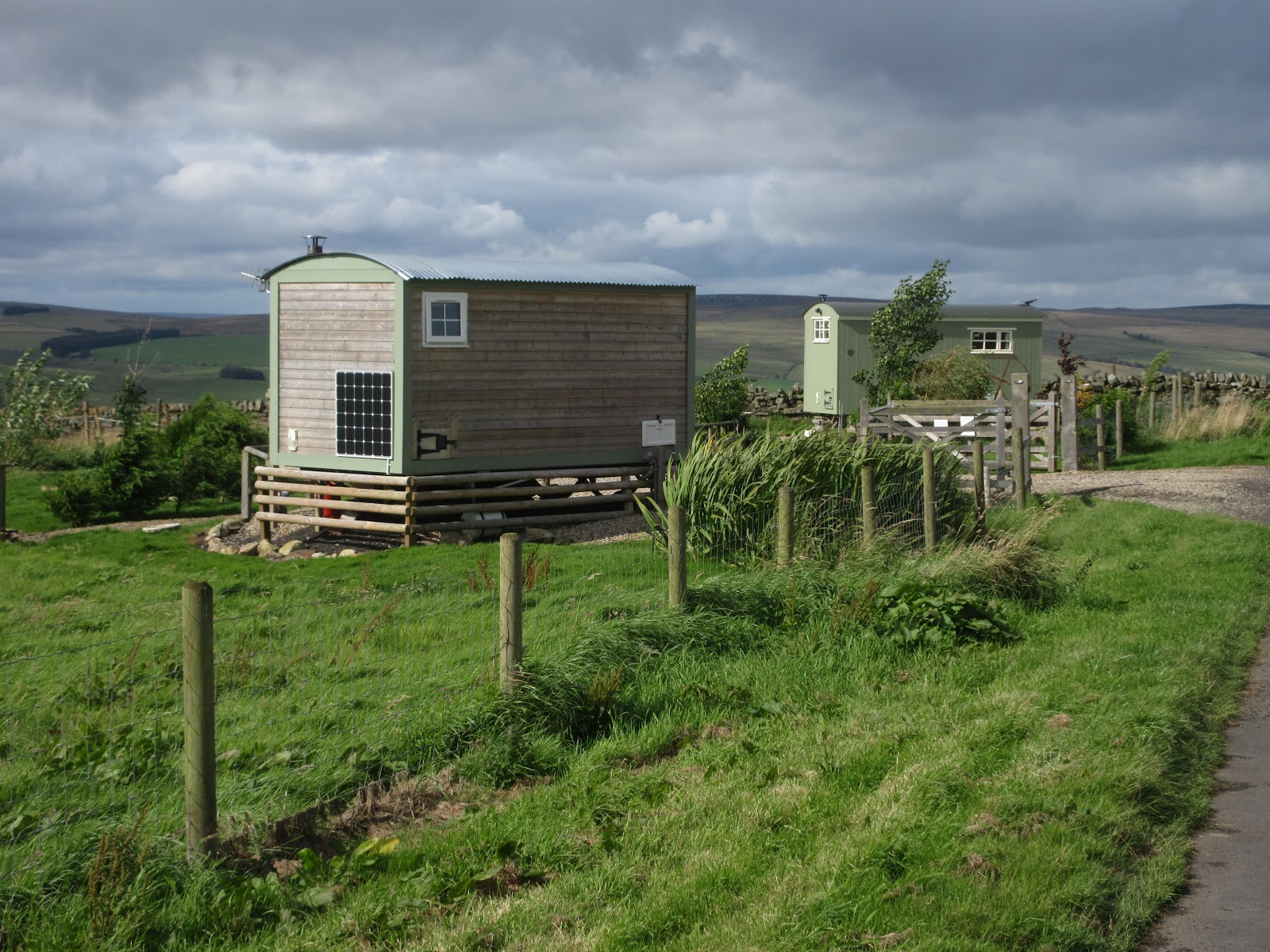
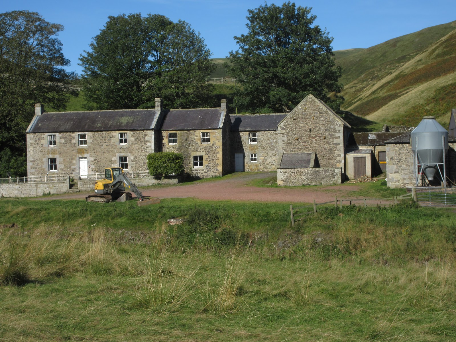
 Shilmoor farm. The house is used by the army which has a large range nearby and a lot of signs advising you not pick things up, they may kill.
At this point the party divided. (A bit like our present political ones!) John Ha. harry and I opted to walk back to Alwinton on the valley road; Brian, Dave and John H. chose to take paths over "pass Path" which passes medieval settlements.
We all met back at the car park and once changed headed for the Rose and Thistle in the village. Friendly pub and it served Timothy Taylor's Landlord ale, from Keighley, like me. My favourite but I had some driving to do.
 Rose and Thistle Inn, Alwinton

Contains OS data, copyright. Crown copyright and data base right 2019
The walk is about 9.5 miles, some climbing but not difficult.
It took us 4 hours and 15 minutes walking, excluding the lunch break.


For years we have fed in Tomlinsons of Rothbury when having a gadgie walk in that area. But the café and bunkhouse that has provided bacon sandwiches, tea, coffee and on occasion cake, has closed. Bunkhouse and café, gone, to be converted into apartments, no doubt luxury ones too.
Instead we are eating at the Vale on Rothbury High Street, tea, coffee, bacon...……...
Today's walk is one we have not covered for a couple of years, Copper Snout, a fairly gentle stroll in the Cheviots from Alwinton. To get there take the A1 north, A697 at Morpeth, turn left at Weldon Bridge, drive through Rothbury and turn right on the minor road signposted Alwinton. Parking on the grass verge on the right as you get to the village is free! Parking in the village at the National Park park is not. Guess?
There are six of us, Harry, Dave,Brian, John H., John Ha. and me.
The map that covers the walk is OS OL 16 Cheviot Hills and of course it's on a fold.
The portly gentleman from Caledonia who gives the weather forecast on local TV before joining the giggling matrons on the couch at the end of the programme promised us a dry day with sunshine. He was right, a temperature at one point probably in the low twenties and blue skies offering unclouded panoramas of the hills we walked through on an early autumn day. farmers getting in the last of the crops and preparing for the Alwinton show, ewes on the hillsides, preparing for the release of the tups and swallows gorging on flies before they start their journey to Africa.


Behind the car park is a small stream, across it is a footbridge, the start of the walk.

Having crossed the footbridge we turned left on Clennell Street. Looking nothing like a modern street it is an ancient drove road, dating back to iron age times. Once called "the way of the eagles", but there are non around today. The road goes through the Cheviots from Morpeth to Kelso and this section is a grassy track, firm underfoot.
A good section of the walk is on Clennell Street which is marked clearly on the OS map in Gothic script. There are a number of tracks going off it but it is quite easy to follow. On the left at the start is Castle Hills which has an Iron Age fort which we didn't visit, and there are a number of ancient settlements and homesteads, not too easy to identify. There is also a Cross Dyke whose purpose is unknown.

There is a steady climb out of Alwinton followed by undulating country until we reached the ruined Youth Hostel near the Cairns marked on the map close to the East West line marked 09.
Although we had only walked a little under three miles it seemed a good spot for a Herbie so we pulled up a few stones and sat in the sun for lunch.


After lunch we carried on along the track which turned into a forest road, gravelled and lined with timber which is to be used to grow further forests apparently!
If you follow this walk watch out for a marker on the left (between 89 and 90 on the map). It marks the start of the footpath which heads roughly south down Copper Snout.

Initially the path is a bit boggy, but today not as bad as previous occasions, an indicator of the recent lack of rain.


Once through a gate the path changes to a grassy track, easy walking, and it goes mostly down hill to the farm at Shilmoor.

At this point the party divided. (A bit like our present political ones!) John Ha. harry and I opted to walk back to Alwinton on the valley road; Brian, Dave and John H. chose to take paths over "pass Path" which passes medieval settlements.
We all met back at the car park and once changed headed for the Rose and Thistle in the village. Friendly pub and it served Timothy Taylor's Landlord ale, from Keighley, like me. My favourite but I had some driving to do.


Contains OS data, copyright. Crown copyright and data base right 2019
The walk is about 9.5 miles, some climbing but not difficult.
It took us 4 hours and 15 minutes walking, excluding the lunch break.