Translate

Friday 27 March 2020

Whale meat again...…..
Got no quail got no hen...…………………...
Corona virus....
Because of the restrictions  put on travel and group size in the UK there will be no gadgie walks for some time. Some of us are over 70 too and considered vulnerable so heads down and behave.
Hope it's not too long before we're back.

Saturday 21 March 2020

150,000 hits and counting. 
Bolam and Shaftoe Crags (Northumberland) March 20th
This is a reference to the number of times the blog has been read and has nothing to do with corona virus that is sweeping the world.
Corona virus has hit hard, several gadgies are away, several have their concerns but Dave and I have decided to take a chance and have a walk from Bolam Lake in Northumberland. 
Take the Ponteland Road and just past Belsay turn right. There are several car parks round the lake, we opted for the main one near the information centre, a mere £3 for the day.
The walk is covered by:
OS OL 42  Kielder Water and Forest.
                                Bolam Lake car park, early in the morning
      The lake. The flat bits on the wall are useful when booting up.
Ready to go we set off south on the lakeside path until we reached a second car park, crossed the road to Bolam Low House and spotted The White Gate.

            Once through the White Gate we followed the footpath across the fairly dry fields to the farm at Shortflatt Tower.
                 Several notices saying the farm was private kept us away from the tower which is named in Gothic Script on the map and is therefore quite old. Probably a pele tower and first mentioned in 1305
From Shortflatt the footpath crosses fields before it morphs into a metalled road. It passes Sandyford farm.
                   It should be called symmetric farm not Sandiford. My theory is that bthe land was inherited by two brothers who could not agree on who got the farmhouse so they built one each.
The road continues south west and just beyond West Tofthill a finger post indicates the grassy track to East Shaftoe Hall.
      Head north at this finger post. The grassy track crosses fields and a Roman Road (Devil's Causeway) although I found it impossible to pick out the line of the Roman route.


                    Beautiful south facing walled garden at East Shaftoe Hall.
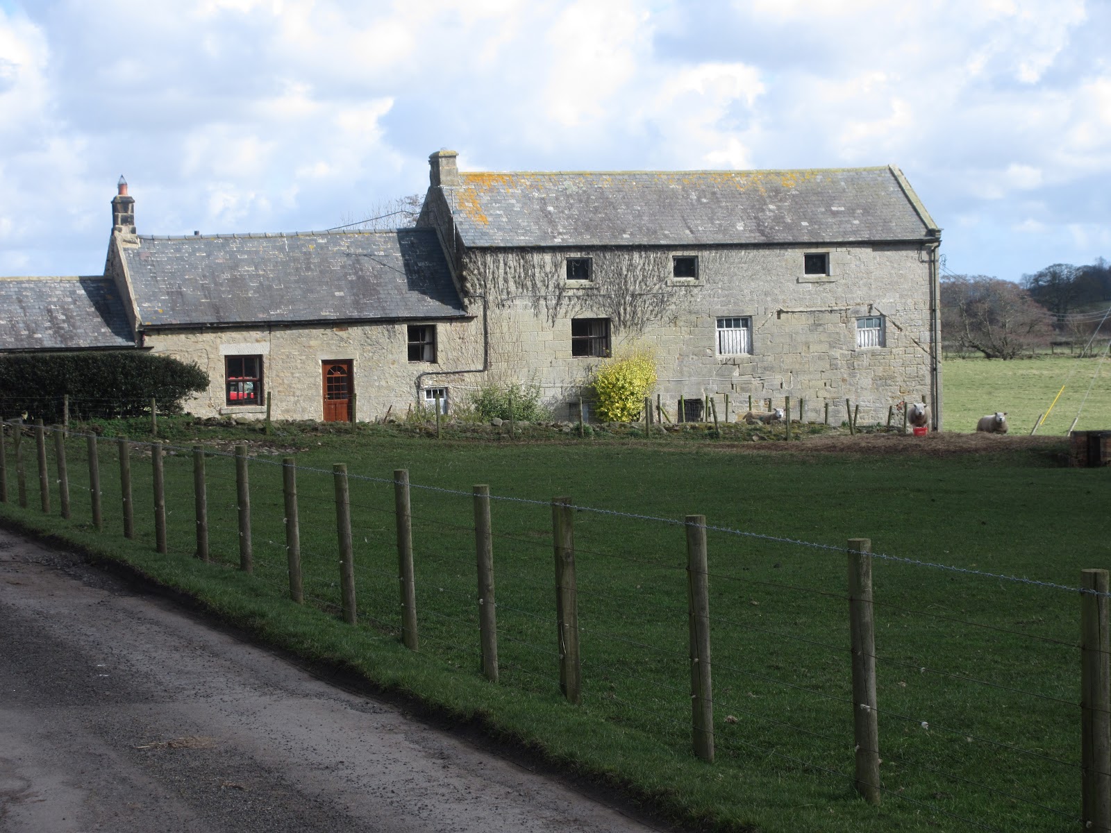
                East Shaftoe Hall. The left hand side is old, 14th century, the rest probably 18th
From the farm we headed west on a well made track passing the remains of an ancient fort.
            The Piper's Chair. On the top is a bowl shaped depression that, according to legend, was filled with wine at the wedding of one of the Shaftoe family
                          Ancient fort, Iron age?
The path turns north and passes Shaftoe Grange. Eventually we reached a wall. Going right takes walkers to Salters Nick, ruts still visible, but we turned left and walked down the side of the wall to a fine stile, built into the wall.
                             A proper stile
We walked across the field to see the Standing Stone, not particularly special as standing stones go
                          Standing Stone. The grooves are due to weathering
From the stone we followed the official path which is quite well marked to Middleton South, turned right then almost immediately left into fields.
                            Eucalyptus Northumbriania


                          Middleton South Hunt
The next section of the walk is over fields to Middleton Bridge which made a grade one Herbie Spot. Sitting in the sun, backs to the stone embankment we shared Titans and Trackers and I ate a vegan sausage roll which was as good as a real one.
Lunch over we crossed the bridge and headed down the road to Middleton Mill.
                                                        We have a sign
                                   Middleton Mill, not milling but farming now.
From Middleton the walk goes across fields for almost two miles, all north of the mini River Wansbeck, across a dismantled railway and more fields until it meets a road south of Angerton Hall. Sights along the way:
                Rob Roy MacBull
                                        Do not disturb
                      A culvert on the site of the Roman road as we crossed it again. Possibly a Roman arch?


We walked the road for a short way south to Low Angerton. Just beyond the farmhouse a finger post pointed us back to Bolam;
                         We're on the way home.
The footpath, again across fields, crosses the dismantled railway again, passes Angerton Steads farm which has a tennis court! At the corner of the field south of the Angerton Steads we turned south west and walked even more fields to the corner where there is a road junction, and the entrance to the car park.
A brief wild life report;
We saw nuthatch, great blue tits, grey and pied wagtails, yellowhammers, a heron with an egret, rooks, buzzards and a snipe, plus LBJs. And a couple of quiet hares although it's March.
Most interesting was the head of a Barn Owl. Very clean separation from the body which we couldn't see. And it seemed relatively fresh. Caught out as it was hunting? Who knows but the wise owl.
                      Car park entrance
                              Beware the dog fruit trees
               Late afternoon, the car park is busy

 Contains OS data copyright. Crown copyright and data base right 2020

A matrix for the day
                                                               steps                     milesNAK                                                     26880                      11.8 
Dave's NAK 1                                      23364                       11.06
""""""""""""""2                                     23348                       11.05
SM                                                        23339                       11.05
OUTDOOR GPS                                                                   10.4

And a few more pictures.


Saturday 14 March 2020

Under the clock at Central Station (Tyneside) March 13
 Reduced in numbers yet again four of us (John H., John Ha., John L. and me) are walking the bank of the Tyne from the centre of Newcastle to Wylam.
After a few wet and windy days the forecast is promising, cool and dry.
Part of the walk follows the Hadrian Wall Path, part the River Tyne way but for most of its length it stays close to the river. A bus and train expedition really requiring no map but it is covered by:
OS Explorer 316 Newcastle upon Tyne. We met at Newcastle's Central Station, fine example of Victorian Railway architecture, and so it should be, the original Stephenson works are just behind it.
               Central Station clock in place of a car park.
We left the station, turned right and past the Station Hotel turned right again on to Orchard Street which goes under the railway, crosses a road by the Telegraph pub, past a good stretch of town wall to some steps which go all the way down to the quayside by the Travel Lodge and Copthorne Hotels.


Having reached the quayside we turned right and walked to Wylam! 
There are good views of the Newcastle bridges on this stretch of the walk if you like that sort of thing.
                       Looking east; High Level, Swing, Tyne and Millenium
  Looking west; Queen Elizabeth II. Edward VII and Redeugh Bridges.
The first few miles of the walk are on a well made promenade next to the river. Very poular with walkers and cyclists. Once a heavily industrialised area it is now home to offices but its past has not been forgotten as there are many information boards along the way.
                                     The old coal staithes at Dunston
                            Ships and shipyards at Elswick, all gone
                                                     Public art too
                 Lord Armstrong. His Elswick works churned out battleships and large guns. He built the first hydraulic crane, the Swing Bridge (also worked by a hydraulic system) and his home in Cragside near Rothbury, lit by his hydro-electric system

                    Armstrong built or designed ships on both sides in the 1905 Russo-Japanese war.
At Scotswood the Hadrian Wall path leaves the river side and goes for a short distance towards Denton although it eventually returns to the Tyne. We ignored the Wall path and followed the Newburn Cycle/pedestrian path, part of the River Tyne Trail . This section is on roads which have to crossed and re-crossed but the path is well marked. It passes Scotswood Bridge and goes under the A1.
                                                     Scotswood Bridge,
                                                   A1
                         Local not so wild life
The path is now almost in the countryside as it clings to the edge of the muddy Tyne, the tide being a long way out giving various waders acres of mud to hunt in. Having walked through light industrial estates we arrived at Newburn Bridge, a narrow one controlled by lights.


                       Newburn Bridge
                                The Boathouse pub next to the bridge.
Not far from the bridge is the site of the Battle of Newburn Ford, 1640. England versus Scotland in one of the Bishop's Wars just before the Civil War. Scotland won and carried on to Newcastle.


The Hadrian Wall Path rejoins the riverside track here and not far from the bridge at a small country park we called a Herbie; Racers and Jives, flapjacks and chocolate caramel home made delights.
Lunch over we walked on through woodland. There is a footpath close to the river  but we opted for the hard track which makes use of the old railway line. It is possible to divert to Heddon on the Wall but we stayed next to the river, passing Close House golf course.
                      A Close House Welcome
Not far from Close House we came to the birthplace of George Stephenson inventor and builder of railways.
              Stephenson's Cottage, Wylam. The family lived in one room, three other families had the rest of the cottage
                                  Plaque on the wall of the cottage.
A short distance from the cottage brought us to Wylam's famous free car park, we turned left, crossed the bridge and had a welcome drink in the Boathouse. Then we caught a bus back to Newcastle.


.
  Today's car park
                                                       The Boathouse at Wylam
                                       Interior!!!!!!!!!!!!!!!
Contains OS data, copyright. Crown copyright and database right 2020
The walk is about 10.5 miles, easy going on hard surfaces.