Translate

Thursday 23 September 2021

Seven go out on the  dunes; Northumberland: September 24th.

To welcome back some gadgies who have not joined the weekly ramble for some time we are having the familiar and lovely stroll from Warkworth to Alnmouth almost and back through the dunes.

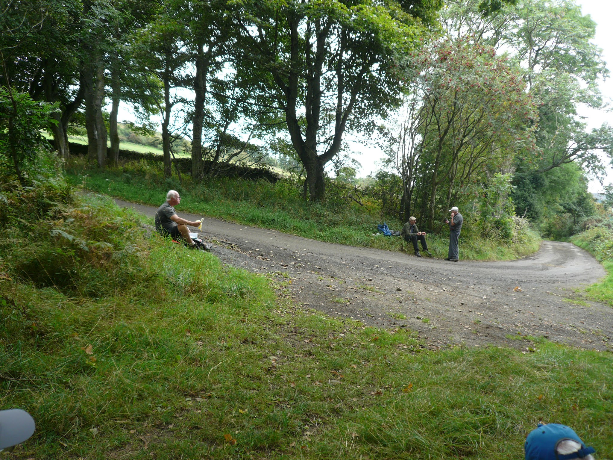
Today's team is made up of me, Brian, Margaret, Harry, Dave, John H and John C

Small town or large village, Warkworth is near the coast, has a fine ruined castle and good car parking of the Yorkshire variety. Reached by taking the A189 north through Amble, going down the main street and turning into the square by the church, the parking is on the river bank. 

Possible without a map but it is covered by OS Explorer 332 Alnwick and Amble.

We  did this walk a few weeks ago, it rained, and it rained. Like the proverbial rodents we were soaked through . ."Wet through to your knickers" as my mum always said on days like that.Today is sunny and warm with a strong breeze about three on the Beaufort scale. 

                           Car park on the bank of the River Coquet, Warkworth. Free!
                     St Lawrence's church, Warkworth. Almost entirely Norman. But probably not the spire.
We walked along the river bank to the old road bridge, now restricted to pedestrians, cyclists and dogs. 
Once over the river we crossed the road and took the route to the car parks and toilets and caravan site near the beach. Fortunately, on the right there is a footpath on the edge of the fields which saves walkers from the traffic. 
We did not go to the beach but turned right and walked the footpath on the river bank almost to the rocky breakwater.
                               Amble

Amble claims to be Northumberland's friendliest port.

At this point we crossed the dunes and headed north on the beach. This is another of the fabulous Northumberland beaches that would be covered with sun loungers backed by a string of tower block hotels if we had warmer weather. Thank goodness for a cooler climate. Because of the pandemic the area has had many more visitors from the UK this year, many from the south completely gobnsmacked by the beauty of the county. Probably still expecting rows of back to back houses and shipyards and coal mines.

The sand is very soft, easier walking to be found nearer the water where it is still wet although nthere are one or two shallow streams to plodge in. (Plodge means paddle )

After about five miles of quiet beach we reached Alnmouth Bay and turned inland on the edge of the River Aln. Directly opposite this pretty village, usually voted one of the best places to live in the north, we climbed the mini hill to the cross that marks, more or less, the site of the original church.


                                   Alnmouth from Church Hill. St Waleric's a 12th century church stood near the hill until it was destroyed by a flood in 1806 which also caused a change in the direction of the river. The replacement church dates from 1876 and is dedicated to St. John the Baptist. It's spire is visible in the centre of the picture.

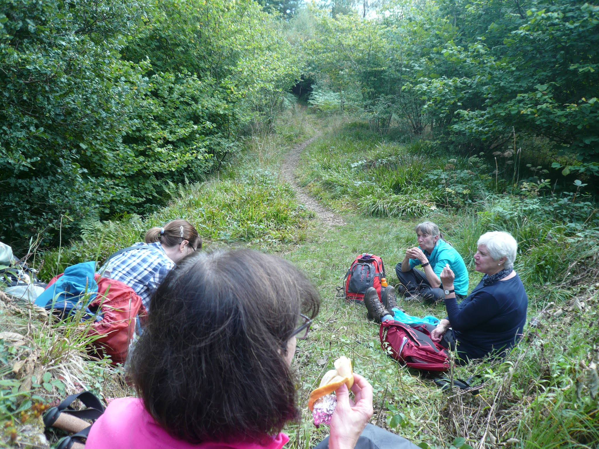
Below Church Hill is the ruin of a 19th century Mortuary Chapel, weathered and looking Norman but it makes a good picnic spot so we settled down for a Herbie.


          Lunchtime in the chapel; apple pies, almond slices, biscuits savory and sweet cakes from Mrs A.
How different from our last visit when we quickly ate a soggy sandwich and hurried on.

After a leisurely lunch we started back on the walk through the dunes. The path goes by a guano store originally on the pre 1806 river bank and used to store fertilizer. Built away from the village because of the smell.

                          Evidence of a high tide; deceased jelly fish


                 Deceased guano store.
The footpath goes through the dunes and passes through a caravan park before coming to Warkworth Golf Club. Here the route dips below a golfer's footbridge. To add to a walker's day there is a bell to ring to warn approaching golfers that there are approaching walkers.
                      Bet they don't have this at Royal St. Andrews or Wentworth or Augusta.
From here the path clings to the edge of the course until it reaches the track down from the village. Back up the track we went, crossed the road carefully, there is a bend that doesn't help the view. Back over the medieval bridge and along the riverside to the cars.
                                  Ye olde bridge

              Distant view of Warkworth Castle, built by Henry, first Earl of Northumberland. He was a Scot
He started his castle in 1139AD.
Changed we headed for the Ridley Arms in Stannington which had several ales on draught and some refreshing soda and lime for the drivers.

Contains OS data, copyright. Crown copyright and data base right 2021.


Monday 20 September 2021

 Out with the Gosforth Greens again. (Northumberland)  Sept 19

Unable to join the gadgies this week I made up for missing a walk by joining the Gosforth Greens walking group for a familiar stroll round Allen Banks.

There were seven of us out, we met at the National Trust Car Park close to Ridley Hall. Head west on the A69 and some ten miles beyond Hexham turn left, go under the railway and follow the road to the car park.


                        Two views of the car park. Unfortunately the ticket machine was not working so we were not able to pay the £4 parking fee. Every cloud and all that.

The map to use is OS OL 43 Hadian's Wall, which I am beginning bto think covers the whole of the north of England. 

From the back of the car park we took the psth that follows close to the River Allen. Easy going with some short climbs, beautiful river and woodland views as Autumn starts to turn the leaves.

                                 River Allen, with pebble beach.
Just over a mile  later we came to Plankey Mill, a popular picnic spot usually but very quiet today with only one family watching the dad burn the burgers.
Having crossed the river we crossed a field to the gate which is the entrance to more National Trust property. Almost immediately  the path starts to climb, quite steeply in parts, as it makes its way to the ruin of Staward Peel.
There is not much left of this unconquered peel tower but the remaining walls made  a suitable place to have lunch although we had only covered about 2.7 miles. Not being a gadgie walk there was no sharing, I kept my chocolate covered flapjack to myself.
                               The walls of Staward Peel
                                  Dining alfresco at Staward. My vegan pasty was much admired.
                       The peel tower was built on a promontory, steep sided with one access route made it impregnable.
Lunch over we followed the path high above two streams to a gate. Having crossed the field to another well marked gate we headed down a steep path, crossed the stream by means of a footbridge and climbed up the opposite side. The footpath down is fairly slippy, even in summer, walking poles are a help.


                     Steps down to the footbridge, most of the path is not stepped.
Emerging from the wood we crossed a field to Harsondale Farm, turned right along the road for a short distance before spotting the stile on the left for Sillywrea.
There were some fine looking rams in the field, waiting for their raddles. A raddle is, apparently, the jacket the tups wear this time of year to show they have found the affections of ewes.

                                               Woolly Tup, a bit distant for my camera.
Crossing the fields we came to Sillywrea farm which still operates with Clydesdale horses. Not much happening today.

Sillywrea horse. It is thought the name comes from Sallow Willows which may have grown here. Or Silly means happy which means the place is a "happy nook"
Just beyond the farm house we turned left down a track across fields to a road. Turning left we walked downhill and back to Plankey Mill.

                                       Plankey Mill footbridge.
We had planned to walk back to the cars on the east side of the river but the path was fenced off. Rather than risk a landslide we crossed the stream and returned the way we came.


                    Contains OS data, copyright. Crown copyright and database right 2021

The walk is about 6.5 miles with a couple of stiff climbs.

A few more


Saturday 11 September 2021

 Slaley and Devil's Water (Northumberland) September 10th.

After a week's break for me we are off for a walk from the hilltop village of Slaley in Northumberland.The walk was published in the Times by Chris Somerville who has  a weekly "Good Walk " column and also a book of his suggested outings. * He is far more descriptive than me, names flowers and fungi too but never describes his Herbie lunches.

There is a grand turn out; Dave, Margaret, Harry, John H., John Ha., Brian, me and Ian, making a very welcome appearance after an absence of some months.

We stopped at Brockbushes Farm Shop on the Corbridge roundabout for tea and bacon. Possibly one of the best bacon sandwiches ever.

The walk is covered by OS OL 43 Hadrian's Wall. To get to Slaley from Newcastle take the A69 west, turn off for Riding Mill at the Corbridge roundabout, drive through Riding Mill and turn left up the hill to Slaley. No car park but if you ask nicely you can park at the Rose and Crown and visit afterwards. It's a community run pub and restaurant with a couple of rooms available too. Great staff, very friendly. Well worth a visit.


         The Rose and Crown, Slaley, and the car park next to it which we were allowed to use.

Slaley is a linear village with a community run pub, a community run shop,  a first school and little else apart from houses and farms. Two buses pass through the village each day heading for Hexham or Consett, depending which way you want to go. The village church, St. Mary's, dates back as far as 1832.

We left the car park and headed west along the village road, crossed the B6306 and followed a track  through fields passing Palm Strothers, East Dukesfield, Middle Dukesfield until we came to Dukesfield Hall. It's harvest time, some of the fields had been cut, some were waiting the arrival of a combine. The main crop seemed to be barley, fields of gold, which, in my humble opinion is the best song Sting ever wrote and is beautifully sung by Eva Cassidy.

                                        Brian leads the way.
                       A proper stile, could be in Yorkshire


From Dukesfield we walked round the edges of fields, following the well signed path until we entered a piece of woodland. Here there was a short but steep and slippy path downhill, tricky to negotiate for those with ageing legs. Walking poles are useful props.

From the bottom of the slope we crashed through a boggy, wood strewn patch until we reached a well made path.

It doesn't look too bad in the photo but the footpath was tricky.

From here on the path followed close to the stream, the Devil's Water, once a lead mining area but now a pleasant woodland stroll. As we passed one house a turkey and a peacock fled. At times we followed footpaths but eventually joined  a well made track. Near Viewley, a track junction, we called a Herbie having walked 4.5 miles, half the day's target.

Turkey and peacock, leaving quickly and it's not Christmas.


Underneath the spreading conifer trees we shared: apple pies, SkinnyWhips (lemon), flapjacks, savoury flapjacks, almond slices and apple cake.
Having lunched we followed the track south east, then east in Slaley Forest. The track, being a forestry road was straight, unlike the rolling English roads of poetry, and it climbed steadily for what seemed miles. 
                                           Slaley Forest welcome you.

Eventually we turned north, just as the only shower of the day encouraged the donning of waterproofs which are a bit pointless on a humid day as they cause as much perspiration as the rain they keep out.

At Spring House we turned into the caravan park. Some bought ice creams at the shop. The footpath is not too clear but a worker from the site kindly pointed it out to us. The path took us through woodland and then across fields to the Lead Road at Blue Gables. here we turned right, followed the road to a cross roads. Here we could have taken the road back to Slaley but chose to stick with the official route and walked across fields. The footpath took us to within yards of the Rose and Crown. Naturally, as we had used their car park, we used their facilities and enjoyed Pennine Beer or Nells Beer, or Soda and Lime for the noble drivers..A lady asked if we had done the walk because it had been in the Times. She told us a good few walkers had been inspired by the article and, not surprisingly, it had been good for business in the pub.


Contains OS data, copyright. Crown copyright and data base right 2021

The walk is about 8.5 miles. mostly easy going.

 A few more:


* The Times, Britain's Best Walks contains 200 of Christopher Somervilles Good Walks. It is just one of his publications on the outdoors.
-----------------------------------------------------------------------------------------------------------------------------

RAY CRAVEN

Ray Craven, one of the original gadgies, died on Wednesday September 8th, victim of Motor Neurone Disease.  

Ray was known to the gang as "The International Man of Mystery" . A loving husband and father, a caring colleague to those he worked with and a good companion to us all. We shall miss his company on our walks.

We have decided that today's walk will be remembered as the "Ray Craven Memorial Walk " and will be repeated every year at this time.

Thanks for your company Ray, it was a privilege to walk with you.