OMG! THEY MADE ME LEADER. APRIL 28TH
I've been walking with some members of the team for about forty years but have always been a cheerful follower rather than leader. But, because I suggested today's walk and sent everybody a map as pdf or gpx they have decided I must lead. Panic.
The walk starts from Wylam in the Tyne Valley. Wylam is the birthplace of George Stephenson inventor of railways and part of the family of lighthouse builders. William Hedley, another railway pioneer came from the area and of course there were coal mines here.
The walk is covered by OS Explorer 316 Newcastle upon Tyne. Not essential but useful.
Easy to reach, head west on the A69, turn left at the signpost, head downhill, at the second junction in the village turn left for the station. Just before the bridge across the Tyne there is a carpark -free.
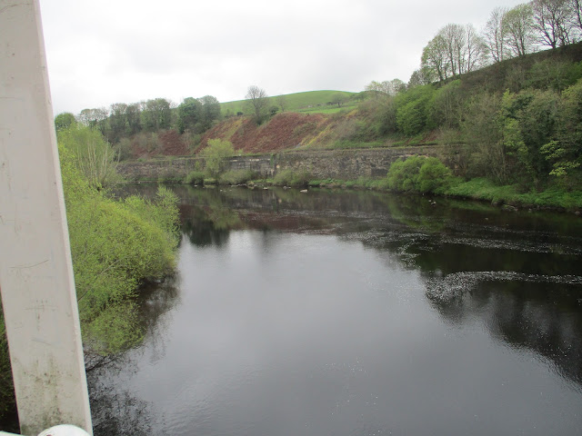
Wylam car park. The track on the left used to be a railway line. Now it is a walkers/cyclists/horse-riders path.Hagg Bank Bridge and a view of the Tyne from it. The local heroes cross the bridge using the arches, apparently.
Murals at the country park.
Whittle Dene, woodland and ruined buildings and very pleasant too with primroses and the first bluebells.
At the top of the dene we came to the A69, fortunately there is a bridge. Once over we went through a gate on the right, promptly turned left and walked across fields to a footbridge crossing the Whittle Burn. Once over we continued edging fields to Welton Hall, farmhouse with a Peel Tower.
Welton Peel tower incorporated into farm buildings.
The farm track took us past a reservoir to the B6318, usually called the Military Road. This section is built on top of Hadrian's Wall! 18th century vandalism.
Across the road (mile 7), we joined the Hadrian Wall trail, a footpath close to another reservoir and protected from the road by a hedge. At the corner of the reservoir there are several picnic tables and a bird hide, so we called a Herbie.
Lunchtime near the hide: Skinny whips, cookies, sweet and savoury from Mrs. A
Continuing our walk along the path we met two men who were walking the length of the wall in three days, it's about 74 miles.
At Harlow Hill the path is on the side of the road (mile 8). Just before the entrance to Albermarle Barracks we crossed the road and followed the farm track south to Northside Farm and on across fields to the A69. There is not a bridge here and the dual carriageway is busy, take care. (If you go west for a short distance there is a minor road going beneath the A69)
Once across we followed the footpath to the village of Horsley.
One of the many horses of Horsley.


No comments:
Post a Comment