Seven go off to Weardale. (Durham) April 22nd.
Due to the ongoing but possibly fading pandemic it has been some time since the gadgies have visited Weardale.
Weardale is the next dale of size south of the Tyne, it flows from the Pennines to Sunderland, via Durham and several other towns. Today's walk is from Wolsingham, one of the smaller valley towns. Reached by heading west on the A69, South on the A68 and following signposts or using a GPS. Approaching the town centre look for a sign saying "DEmesne Mill and Picnic spot" and Long stay parking. Turn right into it.
The walk is covered by OS OL31 North Pennines and OS Explorer 305 Bishop Auckland.
The name Wolsingham is Saxon from Waelsingas, meaning thes ons of Wael. The ham bit is a hamlet or manor house. Centuries ago it was part of the Bishop of Durham's hunting forest, second in size to the New Forest. Nice job if you could get it.
We left the car park, turned right and headed for the main street. One of the party, who shall remain nameless, made use of the rest room or comfort station as Americans like to say and was left behind. Unable to spot the team he wandered along the road, crossing the beck before realising he was going in the wrong direction. Turning back he spotted the finger post, walked through a caravan park and got a phone call saying "Where are you?" As he reached a road bridge a truck stopped, the driver said "Your mates are looking for you. " He pointed the lost soul in the right direction and soon the group were walking together along the Weardale Way on the south side of the river of the same name, the Wear.
Weardale Railway and path on the bank of the river.
The footpath crosses the river and the railway and follows close to the bank before it leaves the water and climbs towards Bradley Cottage which is marked by a broken bench. Using forest tracks the Way goes through Black Bank plantation (mile 3). Emerging we headed downhill passing Bracken Hill (mile 4 plus a bit). back in woodland the path heads down towards the river. In spite of the dry days the track here was muddy. We crossed the Wear using a footbridge, crossed the railway, crossed an industrial site and arrived at a farm; Low Barperley, printed in Gothic script on the OS map.
Top; footbridge across the Wear. Bottom more railway line. Not a working line anymore but trains run for excursions.
From the farm (mile 5) we headed on a good track north west, observing the large number of trees blown over in the winter storms. Crossing the A689, with care of course, we walked uphill across fields towards Old Park. Somewhere along the way, at mile 6 approximately we stopped for a belated lunch, sharing apple pies, Mars Bars, flapjacks and almond slices. Mrs A (and Brian) are on holiday.
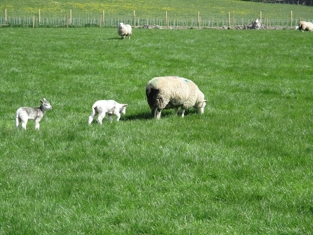
Moving on the route crossed fields with friendly heifers and caring sheep till we reached Mill Lane.
After a short walk on the track we took off left following the well marked route on green tracks , passing Greenwell Hill and Heartwell Plantation. (mile 8) . At the end of the plantation, almost we turned south and followed a footpath which was steep in parts and had more than its fair share of stiles, some wobbly, some narrow with stone pillars. Fortunately we are all slender but elderly gentlemen.......
Eventually we hit the town, followed a footpath through an estate and returned to the car park.
Then we went home, it was very early, nobody needed rehydrating.
Contains OS data, copyright. Crown copyright and database right 2022.
About 9 miles in length the walk is easy going with some climbs, but not steep. Mostly well marked with Weardale Way or the yellow footpath arrows.


No comments:
Post a Comment