Harry's Walk. (Northumberland ) April 1st.
The blogmeister was unable to join the walk on All Fool's Day but Harry provided a map of the route and Dave provided some photographs so here is a brief report.
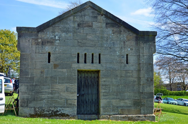
Four gadgies turned out, Brian, harry, Dave and John H. to start and finish a circular walk from the village of Stamfordham which is a few miles west of Newcastle. A small village with a large green it also boasts a 13th century church dedicated to St. Mary, possibly built on the site of an earlier Saxon Church. It also has a Butter Cross built in 1735 and a village lock up constructed in the 19th century, too late for the marauding Scots.
The walk is mostly across agricultural land, with, apparently, some difficult stiles to struggle over.
The map to use for this walk is OS Explorer 316 Newcastle upon Tyne.
Stamfordham Butter Cross, situated on the large village green.From Eachwick the boys headed west over Warlage Hill and then back into Stamfordham.
There are two pubs in Stamfordham, I suspect but do not know that a rehydration session was held in the Swinburne Arms.
Charming Northumberland Pub, the Swinburne Arms.Contains OS data copyright. Crown copyright and database right 2022 (The arrows and numbers are turning points not mile markers)
The walk is about 10 miles


.jpg)


No comments:
Post a Comment