Day on a bare mountain.
We are still in lockdown, still requested not to meet in groups of more than two and so we gadgies are walking from home, alone mostly. To keep the blog going I have resurrected a winter walk we did some years ago, namely Blencathra in the English Lakes. On OS maps the mountain is called Blencathra or Saddleback. The latter name is obvious as you approach from the east, the former is conciderd by some to be made from blain ,meaning top or possibly bare and cadeir, meaning chair.
The walk starts from Scales which is a point on the A66 road between Penrith and Keswick. There are several lay byes for parking but it is limited so get there early.
The map for the walk is OS OL 5 The English Lakes, North Eastern Section.
And of course there is a full turn out.

Parking on the side of the A66 at Scales.
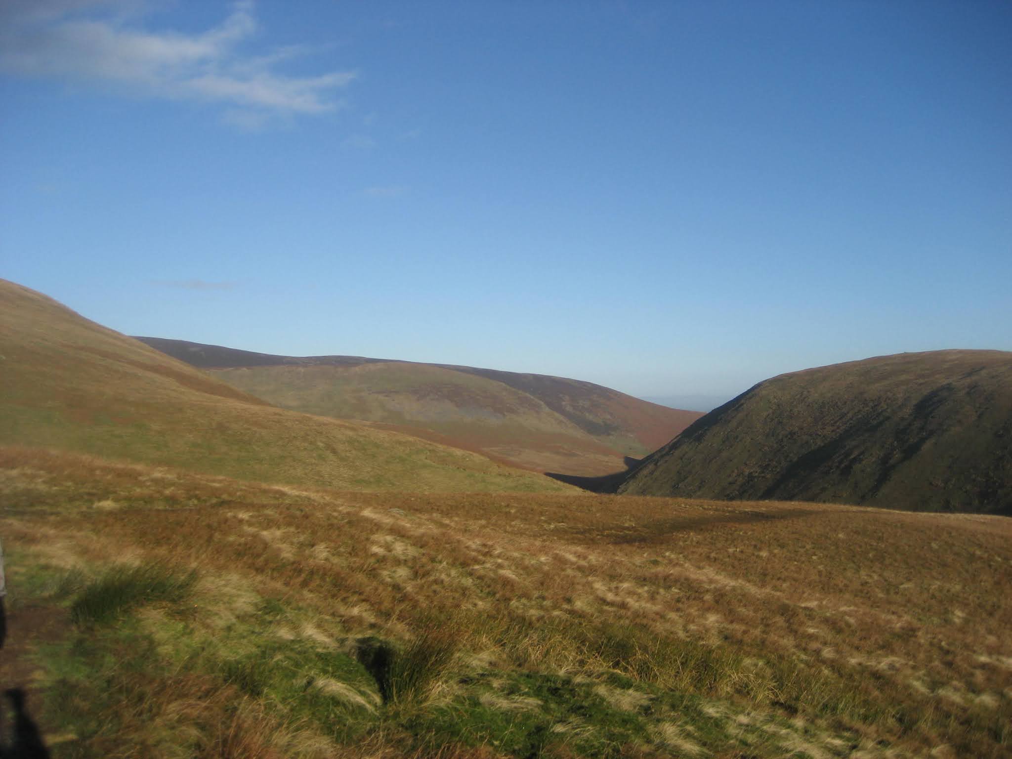
A finger post by the side of the road marks the start of the walk. The footpath goes behind Scales Farm and climbs quite gently passing an old mining level. The area once produced lead and zinc and could do so again in future. We followed the footpath on the south side of the River Glenderamackin valley. Another footpath runs on the opposite side of the valley, parallel to the one we took.

Close to the spot marked Biel a footpath heads off to the left and leads to Sharp Edge. This ridge is shorter than the famous Striding Edge on Helvellyn but I think it's trickier. There are a couple of climbs and a short stretch where you might feel safer shuffling along on your bottom. We have been along it but only on a fine, dry day, not a cold icy one like today.

Sharp Edge
We continued up the valley to the point where the two paths meet. At the junction we turned and headed south west above Foule Crag, along the Blue Screes until we were on Atkinson Pike, the second highest of the tops on Blencathraat 2772 feet, beaten by Gategill Fell Top at 2847 feet.
At the top of Sharp Edge we called a Herbie.

Hot coffee, biscuits, flapjacks and a quick lunch.

Another lunch time view. Nice sunny day though.
Moving on we walked south to Hallsfell Top where we turned east and began the long(and slippy, as I recall) descent over Scales Fell. The downward path eventually met the footpath we had taken at the start. We turned right and were soon back at the cars.
Having changed we headed to Threlkeld and consumed several pints of beer, at least for the non drivers of course. The pub we visited in Threlkeld: The Horse and Farrier, good for dining, staying and it has several real ales too.

Contains OS data, copyright. Crown copyright and database right 2021
A shorter walk at just over 5 miles but worth it for the views..........


No comments:
Post a Comment