A bastle a castle some cattle and caterans.
Still locked down and asked to exercise in your local area I have picked out another gadgie walk from the past. This one starts in Hepburn Woods, north west of Alnwick and is a fairly easy going walk across moors and fields.
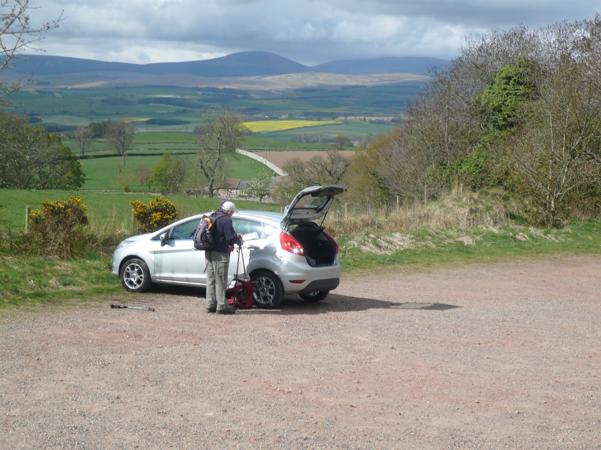
To get to the start A1 north, drive through the town of Alnwick, turn left at the castle and continue on through Eglingham. Watch for a signpost on the right for Hepburn Farm. Beyond the farm there is a car park, free and fairly large.
The walk is covered by two maps : OS 340 Holy Island and OS 332 Alnwick and Amble. The car park is at GR NUo72248 approximately.
The bastle is across the road from the car park:

A bastle differs from a peel tower in that it is a fortified house, the latter being a mini castle.
having admired the ruin we set off on a footpath straight out of the car park and through the north end of Hepburn Wood. A short steep climb it brought us to the remains of a hill fort and we then continued on to the minor road. We crossed the road and followed the steep paths up to Ros Castle.

Ros Castle, Iron age fort and National Trust site.
On the top of the castle is a small viewing platform with a plaque pointing out distant objects of interest.


Ros Castle explained.
With luck you can see the famous White Cattle in Chillingham Park below.

Chillingham white cattle. The herd has been in the area since medieval times. Carefully protected in an outbreak of foot and mouth some years ago.
Having admired the view we retraced our steps to the road and headed east across Hepburn Moor passing a farm with the strange name Botany and onwards almost to Quarry House.
Just before Quarry house we turned right along a track running slightly west of south over Quarryhouse Moor. After about half a mile (close to mile 3 marker on the map) we turned left and followed a track up Cateran Hill. About half a mile up the hill there is a footpath on the left, not easily found, that leads to Cateran Hole marked on the OS map at GRNU102237. (OS332 Alnwick and Amble)

Candle lit Cateran Hole. It is about 40 yards long and it is thought it may have been used for smuggling in the days of cross border strife by caterans, a term used for Scottish marauders. Might come in useful again.
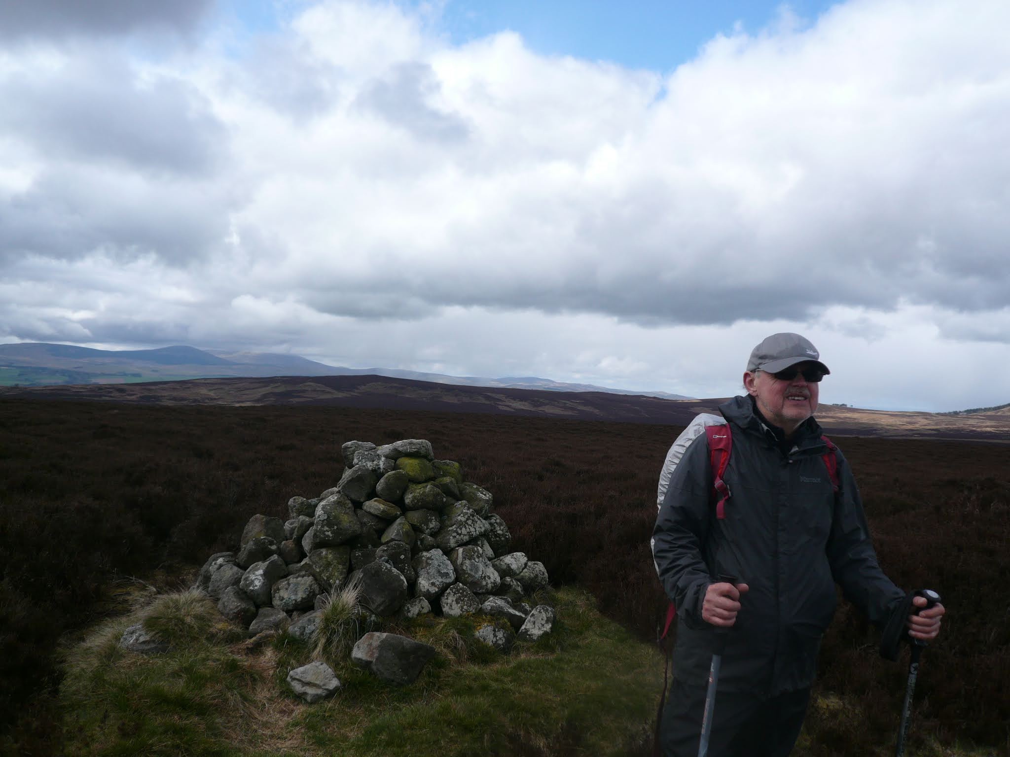
Out of the hole we continued on our way across the moor, passing several cairns until we met the road close to the trig point marked on the map. Close by we made use of a wall to shelter from the breeze to have a Herbie. Fine sharings today: apple pies, almond slices, cookies, flapjacks and chocolate cake from Mrs A. From there we should have taken the official path south of the point crossing Eglingham Moor but being a bit naughty we took a short cut over the fields to the farm at Harehope.

Harehope (?)
At Harehope we turned north west to follow the Stock Brook (unusual name for a beck, stream or burn in the north east. A short detour to admire the waterfall at Corbie Crags and back on the path, passing close to another iron age fort before we reached Blaewearie.

Blawearie, great name, sounds like it means a tiresome wind. The farm was inhabited until the 1950s but has obviously fallen into disrepair.
Leaving the ruin we walked past a fine looking cairn, much to Dave's delight before heading roughly north across the moors.

Burial cairn or cist near Blawearie
Further along the track we came to a gate and decision time. Either walk along the edge of hepburn Wood and back down the steep path to the car park or walk across the moor Botany. We took the latter course and reached the road near the farm, turned left and walked back the last mile of the day to the car park, stopping on the way for;

About to play Molewhacking. A popular sport at northern agricultural shows played as an alternative to Whittlesnittering.
Changed we headed home, diverting to Longhorsely to enjoy a pint or two of Timothy Taylor's Landlord Ale at The Shoulder of Mutton.

Contains OS data, copyright. Crown copyright and database right 2021
The walk is about 11 miles


The End
MMXXI
No comments:
Post a Comment