Coast and country. (Northumberland) July 31
After several damp days the forecast is for the traditional "scorcher by lunchtime" with a temperature in the high twenties. A walk by the coast is always cooler and today we are starting from the village of Lesbury in Northumberland.
The best way to reach Lesbury is to follow the A189 Northumberland spine road A189 and the A1068 coastal route, well marked with brown signs. There is some off street parking near the church.
The map for the walk is OS Explorer 332 Alnwick and Amble.
Team of five; Brian and Margaret, John H., Dave and me.

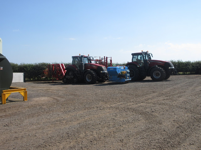
Today's car park in Lesbury, near the church.
 St. Mary's church Lesbury. A Norman, 12th century church possibly built over a Saxon church. 19th Century renovations.
Lesbury comes from Old English Laece Burg, meaning "the leech's or physician's town"!
The walk;
Just beyond the church and on the opposite side of the road we spotted the sign post that started us off on our way. The footpath sticks close to the River Aln, following a curve in the river which possibly be an Ox bow lake someday, something to please the local geography teachers.
 The River Aln. We spotted Little Egrets, swans and a pair of Windhovers (Kestrels)
Eventually we climbed a bank to a road, taking great care in my case, watching out for brambles and snapping saplings. Once on the road we turned right and walked down to Alnmouth. Just before hitting the main street we turned right at the roundabout and walked as far as the bridge.
Here we took the footpath along the river bank, scrambled over a low wall into an empty children's play ground, past he old harbour area, down some steps and were on the beach.
 Alnmouth was once a port
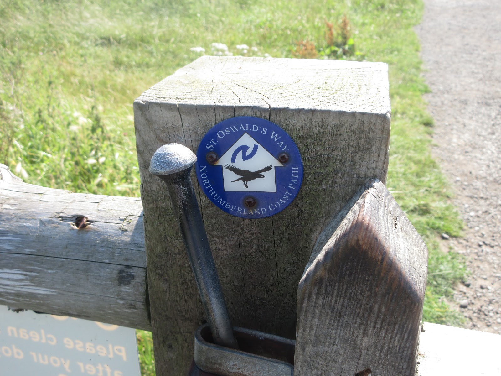
The familiar St. Oswald's Way follows the dunes but we remained walking the soft sand. There were plenty of families making the most of the hot weather. Unlike in certain southern resorts that have hit the headlines recently adults and children were keeping well apart in their family groups. Sensible northerners.
 Miles of golden sands. There were far more people around than this photo suggests but you can't be too careful taking pictures when children are around these days!
We stayed on the beach until we were approaching Seaton Point which is rocky and the tide was high. Climbing a short flight of concrete steps we followed the footpath through a collection of holiday homes, some rather dilapidated, some very modern, with all mod cons. Eventually we reached the village of Boulmer and called a Herbie, sitting on the grass or a bench overlooking the north sea.
 The righthand vessel is the Thomas Ian, some sort of fishing vessel, pleasure rather than commercial. All very quiet today.
Having shared out the goodies (Hobnobs, Skinny whips, Brunch bars, shortbread and Mrs A's savoury buns) and consumed them we continued north along a track before taking to the dunes again.
 Art work on the wall north of Boulmer.
We walked as far as Howdiemont Sands, a small sandy bay which was also full of well distanced visitors. Cars were parked in the dunes, on the road side and anywhere there was a space. Mostly they were "foreign" in the sense that they did not have Northumberland registration plates . A sign of staycations?
From here we took the road through Low Stead farm to Longhoughton. It's a narrow road, usually very quiet but a steady stream of cars going both ways had us standing to one side far too often.
 £1 to park! Not even a Yorkshireman could complain at that, or could he? Maybe a Scot could too.
The road comes to Longhoughton main street, we turned right and almost opposite the local hall that used to be village store and NAAFI we crossed the road and followed a footpath uphill across fields, under the East Coast Railway Line (A bridge, not a tunnel) and on to Longhoughton Quarry.
 LOnghoughton Quarry. Swans and ducks and not very attractive.
 The way out of the quarry is through this untidy yard.
Out of the quarry we turned left down the road for a short distance before turning right onto the track through Ratcheugh Farm.
 Follow this farm road.
Beyond the farm we followed a gravelled track, not the most interesting part of the walk. On the right at the top of the hill is a building marked as Observatory on the map. Looks a biy like a folly, possibly is.
 Observatory. There are point to point races held here sometime, it would be a good vantage point.
Where the gravelled road turns off to the right we called a second Herbie, for those who had anything left to eat or drink.
Mini break over we made a slight error, walking the righthand side of the hedge instead of crossing to the left. When we came to the track running alongside the railway we had to climb a fence that had seen better days but once on the track we walked past he old station and back to Lesbury and the cars.
Changed we headed for the Cook and Barker at Newton on the Moor, off the A1 south of Alnwick. They had three ales on offer, the Alnwick Gold was in good order and we sat with most of the other drinkers and eaters in the beer garden. Just like old times!
No matrix this week but this good walk is fairly flat and is about 11.5 miles. Good practice for the up and coming Tributaries walk.
 Contains OS data, copyright. Crown copyright and data base right 2020.
Plus:


After several damp days the forecast is for the traditional "scorcher by lunchtime" with a temperature in the high twenties. A walk by the coast is always cooler and today we are starting from the village of Lesbury in Northumberland.
The best way to reach Lesbury is to follow the A189 Northumberland spine road A189 and the A1068 coastal route, well marked with brown signs. There is some off street parking near the church.
The map for the walk is OS Explorer 332 Alnwick and Amble.
Team of five; Brian and Margaret, John H., Dave and me.


Lesbury comes from Old English Laece Burg, meaning "the leech's or physician's town"!
The walk;
Just beyond the church and on the opposite side of the road we spotted the sign post that started us off on our way. The footpath sticks close to the River Aln, following a curve in the river which possibly be an Ox bow lake someday, something to please the local geography teachers.

Eventually we climbed a bank to a road, taking great care in my case, watching out for brambles and snapping saplings. Once on the road we turned right and walked down to Alnmouth. Just before hitting the main street we turned right at the roundabout and walked as far as the bridge.
Here we took the footpath along the river bank, scrambled over a low wall into an empty children's play ground, past he old harbour area, down some steps and were on the beach.

The familiar St. Oswald's Way follows the dunes but we remained walking the soft sand. There were plenty of families making the most of the hot weather. Unlike in certain southern resorts that have hit the headlines recently adults and children were keeping well apart in their family groups. Sensible northerners.

We stayed on the beach until we were approaching Seaton Point which is rocky and the tide was high. Climbing a short flight of concrete steps we followed the footpath through a collection of holiday homes, some rather dilapidated, some very modern, with all mod cons. Eventually we reached the village of Boulmer and called a Herbie, sitting on the grass or a bench overlooking the north sea.

Having shared out the goodies (Hobnobs, Skinny whips, Brunch bars, shortbread and Mrs A's savoury buns) and consumed them we continued north along a track before taking to the dunes again.

We walked as far as Howdiemont Sands, a small sandy bay which was also full of well distanced visitors. Cars were parked in the dunes, on the road side and anywhere there was a space. Mostly they were "foreign" in the sense that they did not have Northumberland registration plates . A sign of staycations?
From here we took the road through Low Stead farm to Longhoughton. It's a narrow road, usually very quiet but a steady stream of cars going both ways had us standing to one side far too often.

The road comes to Longhoughton main street, we turned right and almost opposite the local hall that used to be village store and NAAFI we crossed the road and followed a footpath uphill across fields, under the East Coast Railway Line (A bridge, not a tunnel) and on to Longhoughton Quarry.


Out of the quarry we turned left down the road for a short distance before turning right onto the track through Ratcheugh Farm.

Beyond the farm we followed a gravelled track, not the most interesting part of the walk. On the right at the top of the hill is a building marked as Observatory on the map. Looks a biy like a folly, possibly is.

Where the gravelled road turns off to the right we called a second Herbie, for those who had anything left to eat or drink.
Mini break over we made a slight error, walking the righthand side of the hedge instead of crossing to the left. When we came to the track running alongside the railway we had to climb a fence that had seen better days but once on the track we walked past he old station and back to Lesbury and the cars.
Changed we headed for the Cook and Barker at Newton on the Moor, off the A1 south of Alnwick. They had three ales on offer, the Alnwick Gold was in good order and we sat with most of the other drinkers and eaters in the beer garden. Just like old times!
No matrix this week but this good walk is fairly flat and is about 11.5 miles. Good practice for the up and coming Tributaries walk.

Plus:


No comments:
Post a Comment