Translate

Saturday, 16 September 2023

SLAEF-LEAH

 Slaef- lead September 15th

S

Slaley is a long village on top of a hill in Northumberland. The namecomes from Old English slaef-leah  meaning muddy place with a clearing.

The village church, St Mary's was built in the 19th century on the site of  one built in 1312 on the site of an even earlier one.

Go west on the A69. At the roundabout for Corbridge follow the A68. At the next roundabout head for Riding Mill. Go through the village and turn left onto the hilly road to Slayley.

There is no car park, we left our cars near the church.

The walk is covered by OS OL 43 Hadrian's Wall.

                Not a winning car park. Damp morning too.

                                   Slaley church. St Mary the Virgin.

There is a porch by the church gate with benches. Useful for booting up and donning waterproofs. The forecast was for rain all day, not heavy but long lasting drizzle.

Leaving the cars we headed west through the village, crossed the B6306 and walked along tracks to Dukesfield. (mile 2). The gate to the footpath at the farm is hidden but we crossed a field and joined the track  down to the river.


Once a lead mining area. The arches took ore to the smelting house.

(There is a short black dotted line on the map at this point which is the route we took rather than the route we planned)

From the arches we followed the stream (Devil's Water), emerging into  a single field (mile 3). A few exotic birds were pecking away.

Hairy legged rooster, one of several.

We found the entrance to the footpath taking us through woodland with evidence of the damage storm Arwen did . Reaching the junction at mile 4 we took the forestry track which was a little muddy to say the least.  At one point we made use of several tree stumps for a Herbie, sharing apple pies, cheese scones, ginger biscuits, cookies and almond slices. It climbed steadily  until it reached a well surfaced road where we turned left, walked downhill and turned right into the Spring House caravan park.

                               Spring House caravan site. 
The path round the site took a bit of finding but after more woodland we arrived at Cocklake farm to be greeted by a pair of black labradors.  
From the farm we followed a track before crossing fields  to the road , turned right then left at the next junction. Not far down this road we took the footpath on the right and crossed several fields (with stiles) back to Slaley.
On the way home we stopped at the Fox and Hounds in Wylam which serves Tim Taylor's Landlord and coffee for the driver.

 Contains OS data, copyright. Crown copyright and database right  2023
The walk is 8.5 miles, mostly woodland and mostly easy going, even in the rain.


Saturday, 9 September 2023

A walk on the Wylam side

A walk on the Wylam side. September 8th

 Reduced to a team of three by holidays and family commitments again, we are off for a walk from Wylam in the Tyne Valley.

West on A69, turn left when sign posted, follow sign for station and just before the Wylam Bridge there is a car park on the left. Free all day too. Grand.

The map for the walk is OS Explorer 316, Newcastle upon Tyne and is useful.

Re the map of our walk at the end. Again the planned route is a continuous line, the variations are dashed lines.

The free car park near Wylam Bridge. I hope this photo wins some approval.

Leaving the car park we followed the trail under the Wylam bridge  and continued on our merry way down a few streets before joining the road running parallel to the Tyne. None of us are keen on road walking and at about mile 1 we were able to take a footpath through woodland between the river and the road. Like other footpaths we have walked this year it was heavily overgrown, mostly nettles. 


                            The not very coaly Tyne

Not far beyond Hagg Bridge (disused railway bridge) we were close to the Victorian Water Pumping Station:

Unfortunately the pumping station was hidden by the trees. It was built in 1876 to pump water from the river to the reservoirs north of  Whittle Dene. 


                              Later addition

Back on the road we walked on to Ovingham, crossing a stream by stepping stones (mile 3) only to find the path marked on the OS map had been closed with a fence and a selection of prickly plants.

The alternative, which we took, was to follow the road past the Ovingham first and middle schools and taking a footpath down a field to the riverside trail.

Passing and admiring a village of mostly wooden chalets and static caravans we were then faced with another stretch of road.

Nicely decorated with summer flowers.

One chalet was named даца. I impressed by telling the other two it was Russian for "Dacha". Why not have a bit of a boast.  (Country cottage)

 Looking for a fingerpost directing walkers to Ovington we finally found it at about 5.5 miles. A rickety stile which was also overgrown took us into a field recently harvested and we crossed several more, at least one with a herd of cows until we reached Ovington at called a Herbie (mile 7).


Ovington village green. Ideal place for a shared lunch of ginger biscuits, toffee whips and cookies. (And a healthy sandwich)

Leaving Overton, passing the village Social Club, we walked down St Andrew's Lane. At a junction we took the footpath on the left into Whittle Dene.

A reminder of long gone industry in Whittle Dene.
Just beyond the ruined building an almost hidden footpath on the right took us part way up the dene to a gate. (Mile 8 almost) From here we walked across fields (with cows) to the village of Horsley.
                             
Horsley village street, very much a linear settlement.
At the last house on the right we turned into the yard and took the narrow footpath before crossing fields to the road into Wylam.

It had been a very hot day so we stopped at the Fox and Hounds for a beer or soft drink, well earned too.

Contains OS data, copyright. Crown copyright and database right 2023.

The walk is about 11 miles mostly easy going, a couple of easy climbs.


Saturday, 2 September 2023

Holystone, heather and bracken

 Holystone, Heather and bracken. September 1st

Holystone is a hamlet in Northumberland reached by going north on the A1, taking the A697 at Morpeth, driving through Rothbury, turning off at the junction for Harbottle and turning left for Holystone. Drive through the hamlet and after a half mile there is a car park on Forestry land. And a picnic table with benches, useful when booting up.

The walk is covered by two maps: OS OL 42 Kielder Water and OS OPL 16 Cheviot Hills

The Benedictines founded a nunnery in Holystone in 1124 AD. All that remains is in the church nave and wall.


                            Where to park in Holystone.
Note re the map. The continuous black line is the proposed walk, the dotted lines are where we went a different way, for fun or because of the fallen trees blocking paths in woodland. Storm Arwen November 21 was responsible.
Leaving the car park we walked up the forest track to a fingerpost. Following on an overgrown footpath that wandered through woodland close to Holystone Burn we finally emerged on  a green track near Cat Law. As the path was blocked by fallen trees we had to climb out of the valley up a steep bank. To help I took hold of a tree stump which immediately snapped and sent me rolling downhill, executing a backward roll worthy of the Olympics. Fortunately I was not injured. Back at the top we walked up the sidemof a wall to the Pedlar's Stone and a small piece of woodland in a cruciform shape.
                                  Easy going on a green lane
                 The centre tree is an ostrich, the right is a squirrel

                                The Pedlar's stone.
Beyond the ostrich we joined a good farm track, passing the farm at Craig which has the remains of a bastle.

                  Remains of the bastle at Craig. (A bastle is a fortified house, protection from the Scots)
The road took us on to High Shaw farm and the farm at Raw, which has a bastle too.

              Once upon a time it was a bastle.
Beyond the farm we turned north east but stopped to sit in the sun and admire the view as we had a Herbie (Apple pies, almond slice, scone and cake from Mrs A)
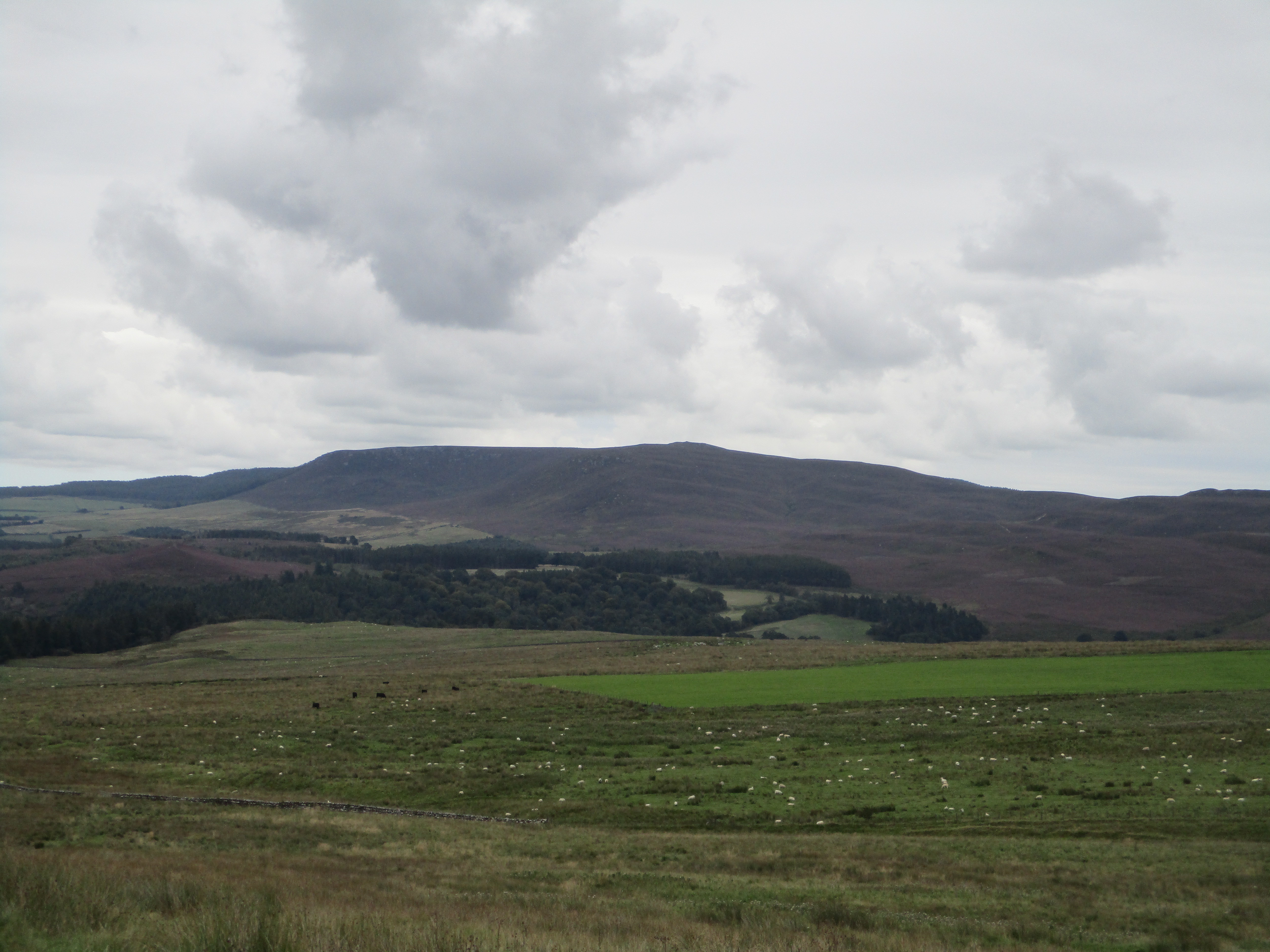
                           Lunchtime view.
Moving on we stayed on the road looking for a marker for the footpath across Harbour Crag. We found it and followed an almost non existent footpath towards Overstone plantation. The footpath through the wood was blocked by fallen trees so we walked the edge before struggling through the heather and bracken towards the Beacon and the Five Kings. The path through the heathere was almost invisible but at least the stuff, when not tripping you up, cleans any mud off your boots, It is hard work, especially going uphill and not being able to see the ground properly, but eventually we made it to the Five Kings.

          Brian and the Five Kings. Yes there are only four of these standing stones, number five is a gatepost nearby. Recycling
From the Kings we continued north, again struggling through bracken and heather until we reached the road near Dueshill Farm. As we reached the village we took a short cut on the bank of the burn, passing St. Mary's church before finally returning to the cars.

               St Mary's church, the nave is what remains of the nunnery.
On the way home we stopped at the Shoulder of Mutton in Longframlington for some well desrved Timothy Taylor's Landlord.


Contains OS data, copyright. Crown copyright and database right 2023
A little short of 10 miles, some of it, although not steep, is very hard going.