A walk on the Wylam side. September 8th
Reduced to a team of three by holidays and family commitments again, we are off for a walk from Wylam in the Tyne Valley.
West on A69, turn left when sign posted, follow sign for station and just before the Wylam Bridge there is a car park on the left. Free all day too. Grand.
The map for the walk is OS Explorer 316, Newcastle upon Tyne and is useful.
Re the map of our walk at the end. Again the planned route is a continuous line, the variations are dashed lines.

The free car park near Wylam Bridge. I hope this photo wins some approval.
Leaving the car park we followed the trail under the Wylam bridge and continued on our merry way down a few streets before joining the road running parallel to the Tyne. None of us are keen on road walking and at about mile 1 we were able to take a footpath through woodland between the river and the road. Like other footpaths we have walked this year it was heavily overgrown, mostly nettles.

The not very coaly Tyne
Not far beyond Hagg Bridge (disused railway bridge) we were close to the Victorian Water Pumping Station:

Unfortunately the pumping station was hidden by the trees. It was built in 1876 to pump water from the river to the reservoirs north of Whittle Dene.
.jpg)
Later addition
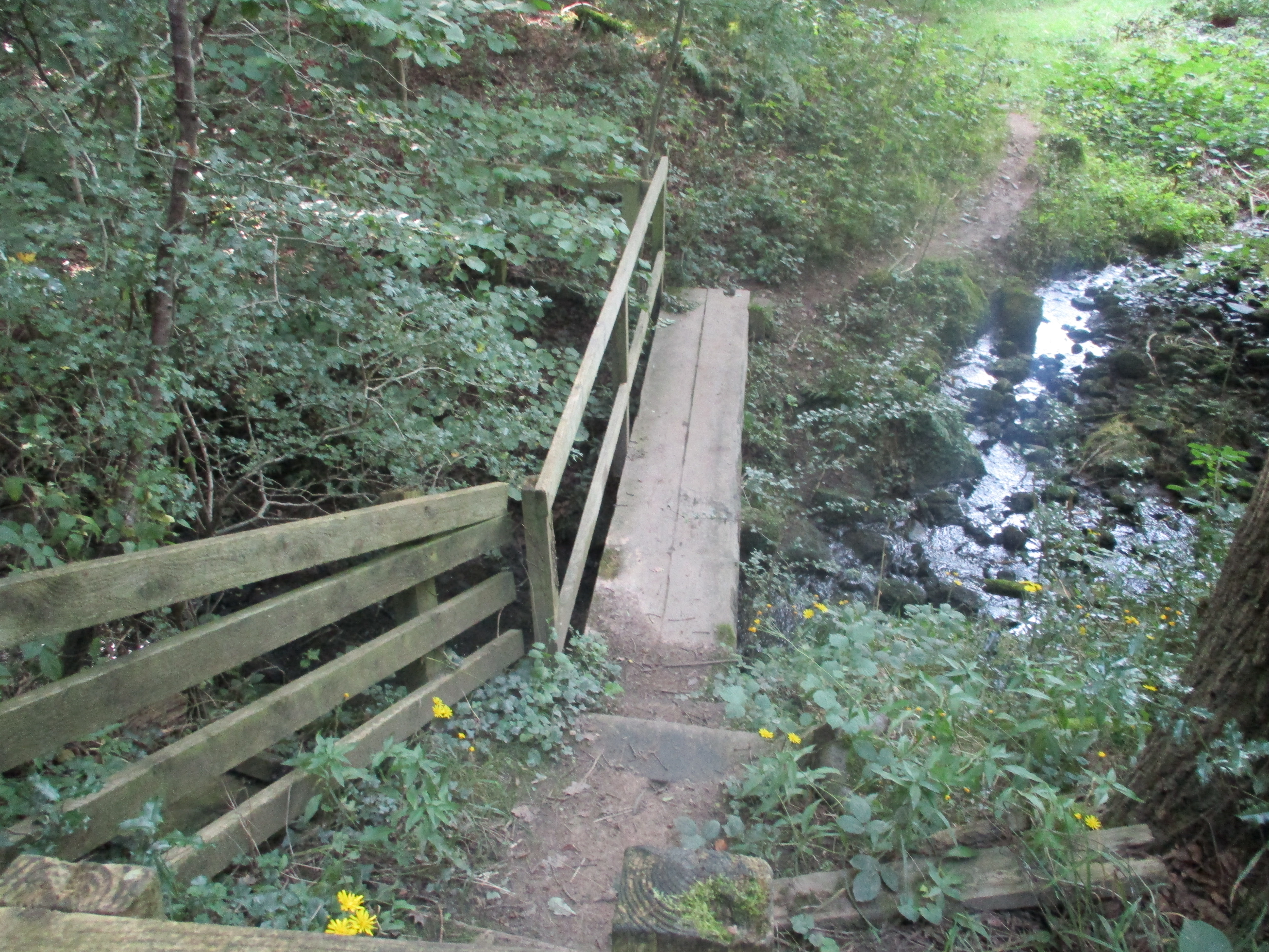
Back on the road we walked on to Ovingham, crossing a stream by stepping stones (mile 3) only to find the path marked on the OS map had been closed with a fence and a selection of prickly plants.
The alternative, which we took, was to follow the road past the Ovingham first and middle schools and taking a footpath down a field to the riverside trail.
Passing and admiring a village of mostly wooden chalets and static caravans we were then faced with another stretch of road.

Nicely decorated with summer flowers.
One chalet was named даца. I impressed by telling the other two it was Russian for "Dacha". Why not have a bit of a boast. (Country cottage)
Looking for a fingerpost directing walkers to Ovington we finally found it at about 5.5 miles. A rickety stile which was also overgrown took us into a field recently harvested and we crossed several more, at least one with a herd of cows until we reached Ovington at called a Herbie (mile 7).


Ovington village green. Ideal place for a shared lunch of ginger biscuits, toffee whips and cookies. (And a healthy sandwich)
Leaving Overton, passing the village Social Club, we walked down St Andrew's Lane. At a junction we took the footpath on the left into Whittle Dene.


Contains OS data, copyright. Crown copyright and database right 2023.
The walk is about 11 miles mostly easy going, a couple of easy climbs.


No comments:
Post a Comment