Translate

Saturday, 19 September 2015

Into the Valley of the Deer walked the five gadgies..................Sept18th.(Lake District)
  Having been promised a fine September day five gadgies, Brian, Dave, John H, Harry and I decided to head for the Lake District again. This time we planned a walk from Hartsop, a hamlet at the south end of Ullswater. To get there from base; A69 west, M6 south, A66 west and just after Rheged turn down the A592, drive the length of Ullswater, through Patterdale and look for the sign on the left that directs to Hartsop. It is a narrow track, be prepared to back up if you meet anything, particularly a John Deere. At the end of the track is a car park for about twelve vehicles. It is free but a box has a note on it requesting contributions to the local school;. Government cuts bite deep.
Hartsop means the Valley of the Deer. Once the property of the Earl of Lonsdale the village hall is now run by the National Trust. Once there was some lead mining in the area and several of the beautiful stone built cottages still have "spinning galleries" for wool I guess.
The walk starts from the car park and it is covered by OS OL5 The English Lakes, North East Section.
This week's car park


                  Cottage with outdoor stairs and a "spinning gallery"
We went through the gate at the back of the car park and followed the gravelled path. At the fork you can choose to go right along Pasture Bottom or go left up the hill alongside Hayeswater Gill as we did. After three quarters of a mile of ascent there is a footpath on the right. It is not posted and is a bit difficult to spot, nor is it marked on the map as an official route, but it leads very steeply for gadgies uphill for about a half mile to the top of Gray Crag. We arrived, exhausted. However from here on the walk is fairly level up to the downhill bit at the end. From Grey Crag we walked approximately two miles to Thornthwaite Crag and its beacon where we called a Herbie Spot. Today's treats were ALDI ginger parkins, Hobnob Medley bars, Tracker flapjacks and some cracking sweet mincemeat cake from Mrs A. The other treat was a Chelsea supporter who was teased.
                              Thornthwaite Beacon, a "Columnar Cairn".
                       Brothers Water, centre right
                                          View from Thornthwaite. Like the walk last week the views are worth the effort. From The beacon we could see hills around us, distant Ingleborough, Morecambe Bay and the nuclear power stations at Heysham. I would have waved to my mum a year ago.
                    Looking down on Hayeswater
                        A glimpse of Ullswater

Human interest for Kathy from Goole and Sue from Forest Hall. (Sorry about the South Shields bit, not that I have anything against South Shields, great curry houses)

having rested and eaten we turned north east onto High Street, so called because it has a Roman Road. The road went from Ambleside to Penrith but some feel it was  not really Roman. What do I know?
                     Who else would build it? Sinister, dexter, sinister dexter you can hear!
  Once upon a time though  horse races and a fair were held up here, hence the name Racecourse Hill. Leaving the Roman Road we continued on a good path to the Knott, all the time looking down on Hayeswater and Haweswater to the east. Haweswater is a reservoir, for years a golden eagle lived nearby but it died, presumably as it hasn't been seen for some time.

                                           Hayeswater and Hummocky Doldrums
From the Knott the path turns north west passes Saturna Crag and rounds Angle Tarn.
Angle Tarn. Note the island has trees. This is because deer can't swim.
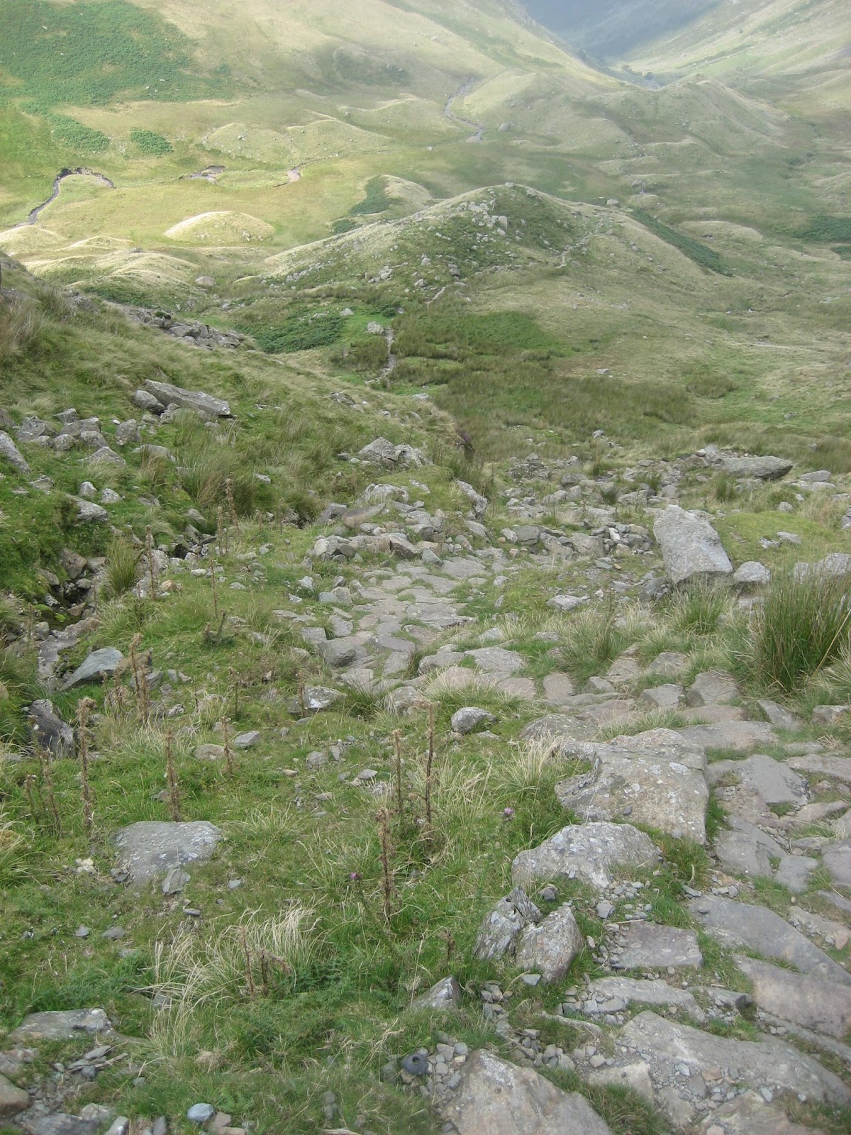
The footpath wanders through Angletarn Pike and starts the downhill section of the walk. Not too steep but the gravelled path can be a bit tricky, sometimes the stones act like marbles underfoot. At a flat open piece of ground, very suitable for camping, the path turns through 180degrees and heads downhill to Dubhow where it joins a farm track.
                                   Waterfall near Dubhow.
The track leads back to the narrow road to Hartsop, car park, shoes and a rest. We drove all the way back to Carts Bog in near Hexham for a drink. More restaurant than pub we were made welcome and enjoyed Corby Blonde and /or Corby Ale from the Cumberland brewery.
Harry won the chip shop challenge, he's very good at it, perhaps he has a silent mobile phone and calls ahead.

The Matrix MMXV   SS
                                                                            steps                          miles
LIDL3D                                                               28556                       8.21
Dave's LIDL3D                                                   25694                       10.02
Dave's USB                                                         24353                        9.60
OUTDOOR GPS                                                                                  9.99
         Contains OS Data, copyright. Crown copyright and database right 2015

Saturday, 12 September 2015

Wandering, but not lonely and no daffodils...... Sept 11th(Lake District)
 It's a while since we have been to the Lake District and the days are getting shorter, well daylight hours are if you are a pedant. Today, four of us are off to walk from Rosthwaite to Grasmere, once the home of William Wordsworth one time official distributor of stamps in the county of Westmorland* and writer of poetry, most famous for wittering on about daffodils on the shores of Ullswater.
This walk needs good timing and bus passes. We drove from Newcastle to Keswick by way of the A69, M6, A66 and caught a bus to Rosthwaite several miles down Borrowdale.
The walk has been designed by the Ordnance Survey to boost sales as it covers all four of the Lakes Maps, Outdoor Leisures numbers 4, 5 , 6 and 7 the English Lakes.
There are four of us out today, Brian, John C, Dave and me and we did have time to call in for breakfast at the Coffee Lounge in Keswick for bacon sandwiches and tea, (Five flitch bacon sandwich).
 After breakfast we caught the 77 bus which goes down leafy Borrowdale, (B5289) alighting at Rosthwaite to start the walk. The buses are open topped and upstairs passengers are occasionally in danger of being hit by twigs, the road is narrow and the driver often has to pull in close to the verge.
                             Rosthwaite Village in Borrowdale
The walk:
 . Just before you get into the village there is a bridge across the Stonethwaite Beck, this is the start.
                                            Stonethwaite Beck.
   Once over the troll free bridge we turned right along the footpath on the east side of the beck. The path is stony but starts off quite level, passing Stonethwaite village on the opposite bank, before beginning to climb. There is one fork in the trail, we took the right hand path and continued to climb steadily, admiring the views and the waterfalls.
                                                    Eagle Crag, eagle free probably
                                 One of several waterfalls on Greenup Gill
  The last section of the climb up the gill is quite steep but it is cairned and easy to follow. At the end of this climb, Lining Crag, we called a Herbie Spot, well three of us did, John  soldiered on for a while, refusing to return in spite of our shouts.
 Mrs A, having returned from holiday sent us a top class pineapple and walnut cake and we had carrot cake slices and, in Ben's absence, some ginger parkin biscuits from Aldi. Quite spicy but not what I call parkin, which is a soft cake. From our lunch spot we looked back down the valley we had walked up and, donning the patched jacket, looked at the Hummock Morraines. I thought they were called dunlins or doldrums or drumlins but Dave assured us that the name Hummocky Morraine is now in common, if not very scientific, usage. They are formed when the rocks and soil at the underside of a melting glacier deposit them.
                                             Looking back down the footpath
                                 Hummocky Morraine.
Lunch over we continued on our way to Greenup Edge and across the boggy ground to High Raise. The panoramic views from High Raise make the whole walk worth the effort. This point is in the centre of the Lake District, surrounded by the familiar peaks we have climbed on other days.


                                  As seen from High Raise and Sargeant Man. Note the not very lonely clouds.
               From High Raise we followed the path to Sargeant Man and then turned roughly east on a well marked path that took us downhill and all the way to Grasmere. The path is steep in places, it has stone "stairways to heaven" occasionally. (Large stones built as a stair, partly to prevent erosion by the thousands of feet that come this way)
The path took us past Coddale and  Easedale Tarns before reaching the village where Wordsworth once lived at Dove Cottage. I went round it once, all I remember is a pen that may have been used by the poet. At least Chekov had his roses.
                                     For Kathy in Goole and Sue in North Shields
                                                               Easdale Tarn 
                                     Cumbria's Matterhorn
                                                           Easdale Tarn
                                               Waterfall in Easdale
           Fortunately we were in time to catch the 555 bus that runs between Lancaster and Keswick and soon we were back in the the latter. Debooted, or completely changed in some cases, we headed for the Keswick Wetherspoons, This  pub is another Wetherspoons conversion, formerly the police sation and magistrates court it is now the Chief Justice of the Common Pleas. The courtroom has been preserved complete with magistrates bench and prisoner's dock and the cells have been turned into mini dining areas. Not surprising in Keswick it is a busy pub and service was slow. Abbot Ale, Doombar, Emmerdale, Hawkshead beers were on offer. Sadly I was driving
This is a terrific walk, quite tough for gadgies who are getting on a bit, but the scenery must be about as good as it gets in the lakes. The weather was not as sunny as the wee jock had promised but it was warm and windy. Had we known how strong the southerly wind was going to be we would have walked it the other way round.
I have been asked to include a gadgie game; The fish shop championship
If we travel west we pass a fish and chip shop on the way home. Gormans at Cowgate it has been renamed The Fenham Fish Bar and reportedly sells quality take away food.
The rules of the game are simple, you have to guess how many people will be in the shop or waiting outside. However you may not choose within three of the last person so if I start and say 9 then the next person must go for 6 or less or 12 or more and so on. As we pass the shop it is the job of the non drivers to estimate as accurately as possible the number of customers and then a winner is declared.
One day my wife, daughter and I were passing the shop so I explained the rules and offered a game. For some reason they both thought the game and the rules were pretty stupid.
Dave won this week.

The Matrix  MMXV SS
                                                                          steps                               miles
LIDL3D                                                             30148                            9.25 (to compensate for slope
                                                                                                                            I am 3' 7" now)
Dave's LIDL3D                                                 24240                            9.45
Dave's USB                                                       22704                            8.95
OUTDOOR GPS                                                                                     9.19
etrex 20                                                                                                    9.56
John C                                                                                                      9.66

* Westmoreland was one of the old English shire counties. It was eaten in reorganisation in 1974 and became part of Cumbria and Yorkshire. The inhabitants were not happy.
                      Blencathra, or Saddleback as it is known, from the bus

Wednesday, 9 September 2015

Journey from the centre of the Kingdom. Sept 8th(Northumberland)
  Haltwhistle in Northumberland claims to be the centre of Britain. It is a small town in the Tyne Valley with little old fashioned shops and a stop on the Newcastle Carlisle Railway. The name has nothing to do with railways, it comes from "Hautwisel", old English for the place where streams meet by a hill. "Twizell" is common for confluences in England and also Germany.
Haltwhistle is quiet but in the 19th century supported a fulling mill, brickworks and several drift mines. The works were on the side of the Haltwhistle Burn and a small railway was built along the stream to move products to the main line. The old track is now a footpath up the side of the burn, and a very pretty walk it is too.
Today's walk,an extra gadgie walk with only two of us, Dave and me, is another wall walk, specifically designed to spot forts, milecastles and turrets.
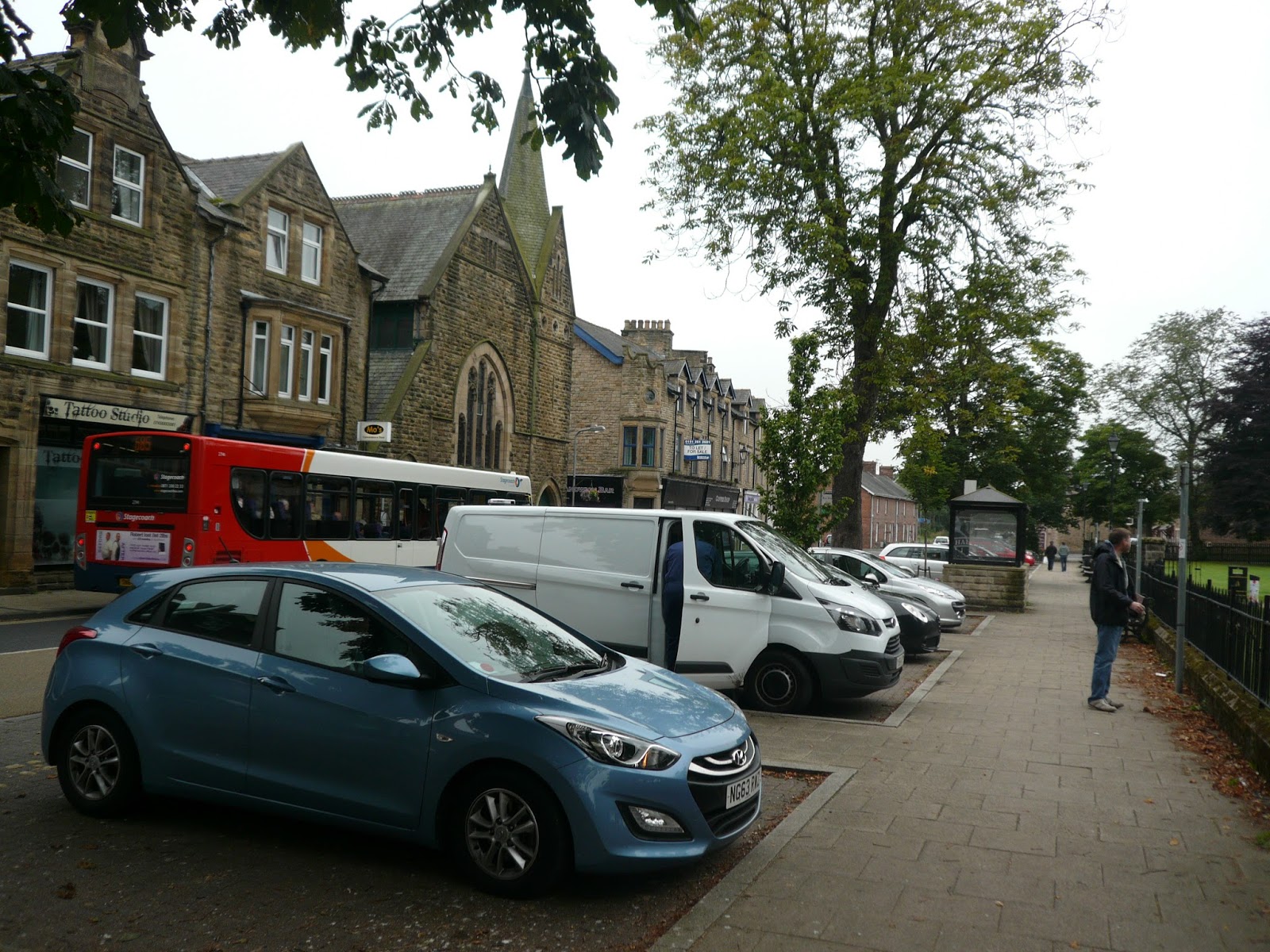
We left the car in Hexham Wentworth Car Park** and caught the 685 bus to Haltwhistle to start the walk. (If you drive A69 west and turn off into Haltwhistle)
                   Starting point in Haltwhistle, not the car park in Hexham.
    Near the Community Hospital a brown sign points towards the Hadrian Wall Footpath. A series of three information boards gives a history of the industry of Haltwhistle and nearby the footpath gives a choice; left or right. Go left.
                                 Information board at the entrance to the burn walk.
                                         Haltwhistle's old brick works.
              The walk up the burn crosses the stream several times as it meanders uphill. The weather today is disappointing, grey and misty but on a sunny spring or summer day this must be a really pleasant stroll. We saw a heron which kept flying along the burn in short stretches and a dipper.
                                                 Haltwhistle Burn.
                                        Old Lime Kiln near the top of the burn.
The footpath eventually emerges into fields, one of which had rather old fashioned style hay bales, not the modern ones wrapped in plastic.

                                                  Hay in cuboids.
 The footpath crosses the military road near the Milecastle pub and goes through Roman camps and a fort before reaching the Milecastle 47 at Cawfields. There are only earth embankments to be seen on the fort and camps but the milecastle foundations are clearly visible.

                                        Entrance to Milecastle 47
At this point on the wall we turned east and headed for Housesteads, ticking off turrets and milecastles as we went, almost like an old Ian Allen Locospotters book!
At Steel Rigg carpark we called a Herbie Spot. The park was full, many of the cars were foreign and we met walkers from America, Sweden, Germany and Holland, all having at least short strolls along the wall. A shame about the mist, it spoiled the views north and south of Hadrian's frontier, but everybody was enjoying the walk.
                                             Turret and wall.
                                Friendly creature on the barbarian side of the wall.

                   Milecastle, including the outlines of barrack blocks.
                    Robin's famous tree, a sycamore, Acer pseudoplatanus as the Romans called it.
 Eventually we reached Housesteads Roman fort (Vercovicium) and sneaked in the back way for a look round.
                         The granary at housesteads.
                                             Commanders house, offices, temple
                We caught the AD122 bus back to Hexham, relaxed and revived ourselves in the Wetherspoons and went home after another good day on the wall.

Matrix MMXV            RR
                                                                                steps                         miles
LIDL3D                                                                25696                        8.68
Dave's LIDL3D                                                    20746                        9.12
Dave's USB                                                          19773                        8.83

Contains OS Data copyright Crown copyright and Data Base right 2015

** The good burghers (Have I spelled that right?) have made changes to the car park. Up to September 8th it was possible for cars to park all day free. Now there are bays with white, red or blue outlines. The few white ones allow parking free all day, but there are not enough for the people who work in the town. Red ones allow two hours, free, the blue ones four hours free with a parking disc displayed. How to drive people away. People like us will have to find a space in town, residents will complain. There was ample free parking for all previously, what jobsworth came up with this!

PS The ordnance survey Map OS OL 43 Hadrian's Wall covers this walk but if you want details of the wall buy the English Heritage  Archaelogical Map of Hadrian's Wall. I haven't included it because there is a note on it saying" anybody who copies this map will be shot"

Saturday, 5 September 2015

The Maid of Hartside..................September 4th.(North Pennines)
  Long ago, shortly after the Romans left Britain (AD 410, approx) a young girl lived in the township of Skirwith. She loved the young man who lived next door but he was the son of a villein and one sad day was sent by his master to live and work on a farm near Hartside. The maid begged the boy's master to take her too but he refused and the young couple were parted. But so strong was the maid's love for the boy that one night when the moon was full she packed her few belongings in a cloth bag and set off to walk to Hartside across the moors. Fortunately the Romans had built a good road across the land from Penrith to the Roman Wall and she knew it passed close to Hartside. It was a warm night, fortunately, or she would have come to a sad end but she followed the well made road north until she came to a footpath she guessed  went west to Hartside and followed that until she came to the farm where her young man lived. His new master was so impressed with her spirit he took her in, the couple married and were allowed to open a small cafe at Hartside summit 1903 feet above sea level. And from that day the Roman Road was called Maiden Way.                                                          The cafe is still there and that's where our walk today starts and ends. To get there from Newcastle go west on the A69, a few miles beyond Hexham turn left on the A686 and drive through Alston and climb the long hill to Hartside. It is a long hill, I've cycled up it but that's another story.
There is a big car park at the cafe (closed in winter) and we tucked our car into a corner out of the way. There are four of us out today, John C, Harry, Dave and me.
Before we started out we went to the front of the cafe and looked out across the Eden Valley towards the Lake District. Many people come to the cafe just to enjoy the view, one of the best in England.
                                                        Hartside cafe and view point.
At the back of the car park a gate leads to a "Land Rover" track. We followed it in a south westerly direction for about a mile when it turned south and headed towards a radio mast. The mast is obviously part of our national defences as it is surrounded by a high wire fence and there  are cameras at each corner. Plus the fact I know an ex soldier who was once sent out to check its security. I hope this doesn't get me into trouble. The most interesting aspect of this part of the walk is the view west over the Eden towards the lakes.
                 Not the best of days for landscapes or even the best of photos, but the lake district hills are in the distance.
                                     Much better
     There seems to be a distinct lack of markers on this part of the walk. Naturally it is not possible to walk through the stockade that protects the aerial, there is a path going round which then continues in a southerly direction across three fields and several walls that need climbing carefully.
   This area is full of shake holes. Donning the leather patched jacket I will explain. A shake hole (or sink hole) is formed when boulder clay is washed into fissures in the limestone beneath. They are invariably conical and some are quite large. They are not to be confused with dolines which occur when the boulder clay forms a depression over a collapsed area of limestone. Cavers often excavate these, hoping there will be a cave system beneath.
                              Shake hole  near Maiden Way
                            Hillside in Yorkshire with Shake Holes (and sheep)
     At mile 3 on the map below we headed east up the side of Knapside Hill. The land here is covered with boulders and is not too easy to cross. After a quarter mile we turned south east and walked along the top of Melmerby Scar.
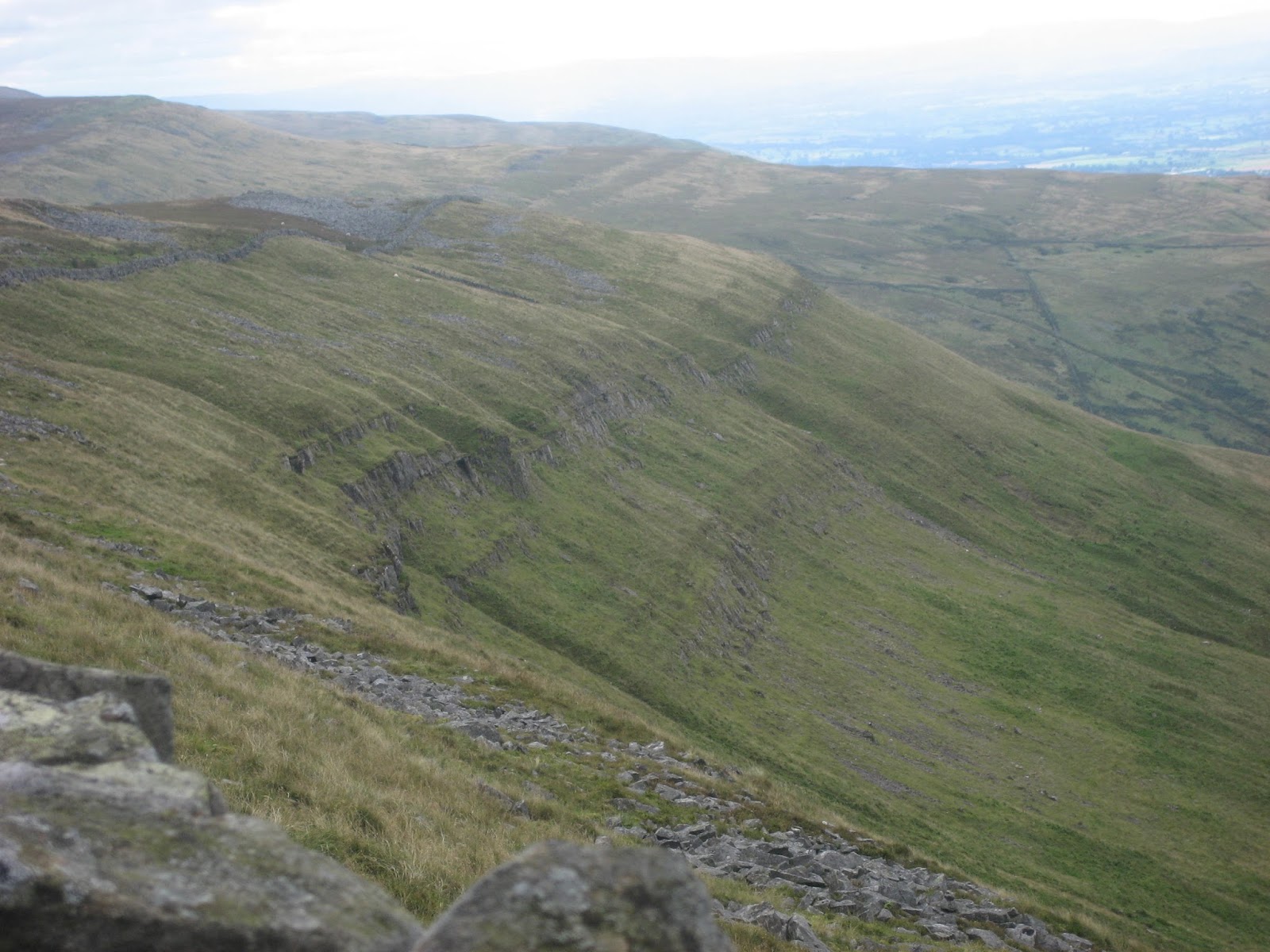
                   Melmerby Scar, typical Pennines scenery. Miss Myers, my Geography teacher would have explained it well, but she didn't wear the jacket.
 Turning east again, just after mile four, we climbed uphill and soon reached Maiden Way, the Roman Road, where we called a Herbie Spot. As there were only four of us offerings were slight (one gadgie never participates in this ritual). We exchanged Tracker peanut bars, Hobnob Medley bars and PORK PIES, which seem to have made a welcome return. Sandwiches and tea of course.

                      Two views of Maiden Way near our Herbie Spot. It has not been well repaired over the last 1800 years. If it had been like this it would have been tough on the marching legions and would have ruined the suspension on a chariot..
  Lunch over we simply followed the Maiden Way for about three miles. A short section was covered with stones as shown in the photo but later it was grassed over, making the walking easier. It is possible to pick out the line of the road as the grass on it is lighter coloured than the grass and heather on either side.
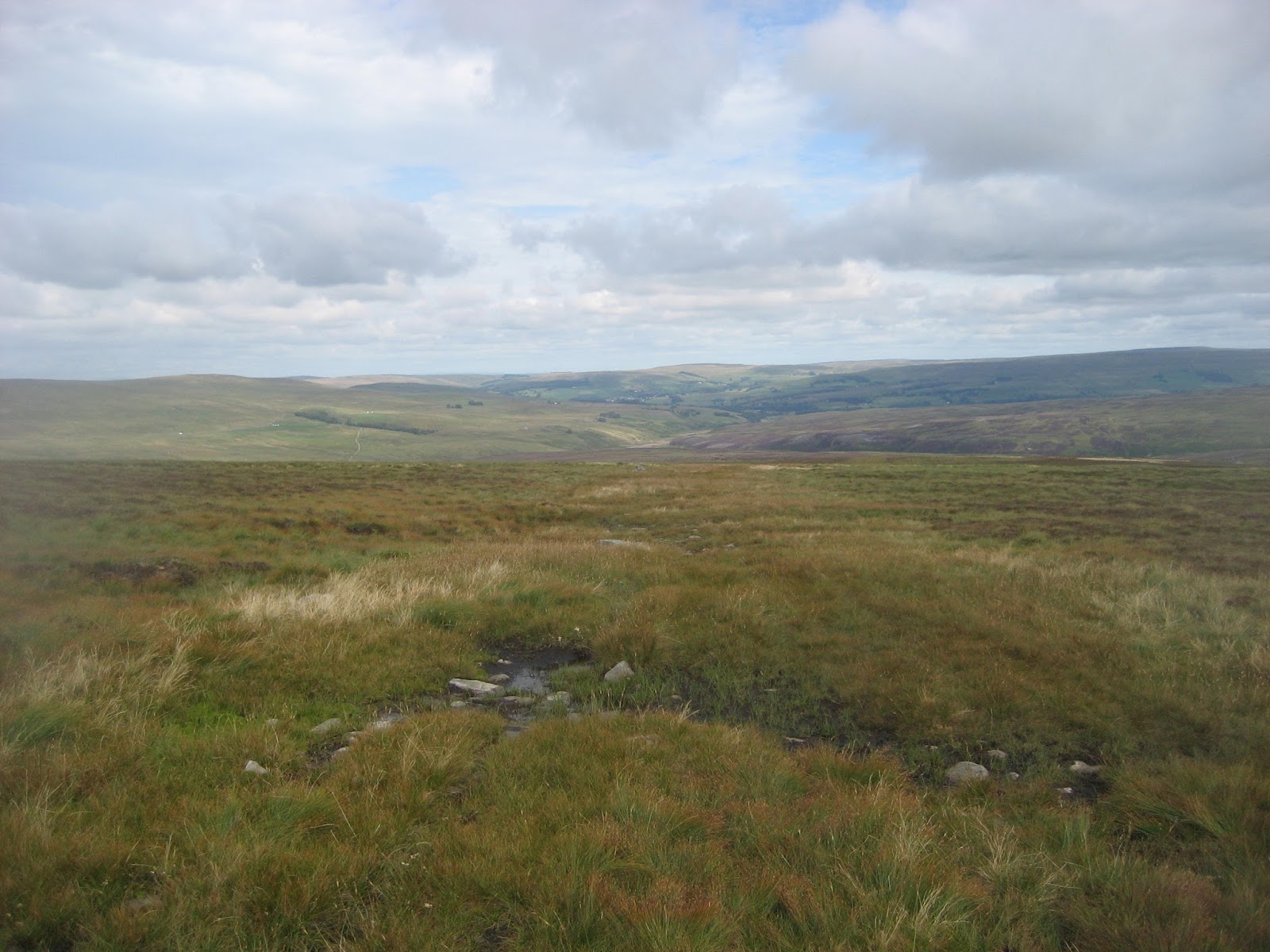
                          Looking north as we walked on the Maiden Way
Eventually the Roman Road (mile 6) meets a Land Rover track which, much to Dave's annoyance, covers the ancient way with a roughly metalled surface. The track goes downhill to the Aglionby Burn where a goodly area is being reforested with deciduous trees. Once across the burn it goes uphill towards the A686. Close to the road a farm track on the left allows a return to the cafe without walking on the modern road. At one point, by Rowgill Cleugh the track turns right to join the road but we climbed a gate and walked a narrow path back to Hartside.
Having changed we headed towards Newcastle and home, calling in at the famous Carts Bog pub. It was closed so we continued to Hexham and visited the Wetherspoons there which, surprisingly, sold Abbott Ale (and soda and lime and coffee).
Not the best of days for the birders, we saw swallows, martins and several grouse which were taking advantage of the absence of shooting parties and having a game of football.  Coming down the Maiden Way we saw several rows of shooting butts, but nob ody was out, it has been a poor year for grouse. However the bird of the blog was undoubtedly the hen harrier we spotted towards the end.
                                                          Hen Harrier.
The Matrix MMXV  QQ
                                                                           steps                              miles
LIDL3D                                                            30647                              10.76( Little legs me)
Dave's LIDL 3D                                               24571                              10.81
Dave's USB                                                      23067                               10.19
         OUTDORS GPS                                                                              10.05
John C GPS                                                                                               10.4
Contains OS data copyright. Crown copyright and Data Base right 2015