Walking from Ingram again. July 4th
Ingram is a tiny village in the Breamish valley in Northumberland. A1 north, A697 at Morpeth turn left at signpost and after four miles, cross the bridge, turn left, pass the church and use the carpark at the visitor centre/cafe/valley museum.


There are nine of us out today, a goodly if not godly team. (Group of nine: an ennead, nonuple or even nonet) On previous occasions we have done today's walk in an anti clockwise direction, but, rebels that we are, we are off the other way round.
We left the centre, after breakfast, and walked up the lane past the church.

By the village hall we went through a gate and followed a track almost to Ingram Mill where we turned south east and headed upwards on a good farm track, passing the remains of an ancient cross, hard to see anyway, until we started downhill again and came to the large farm at Foden.

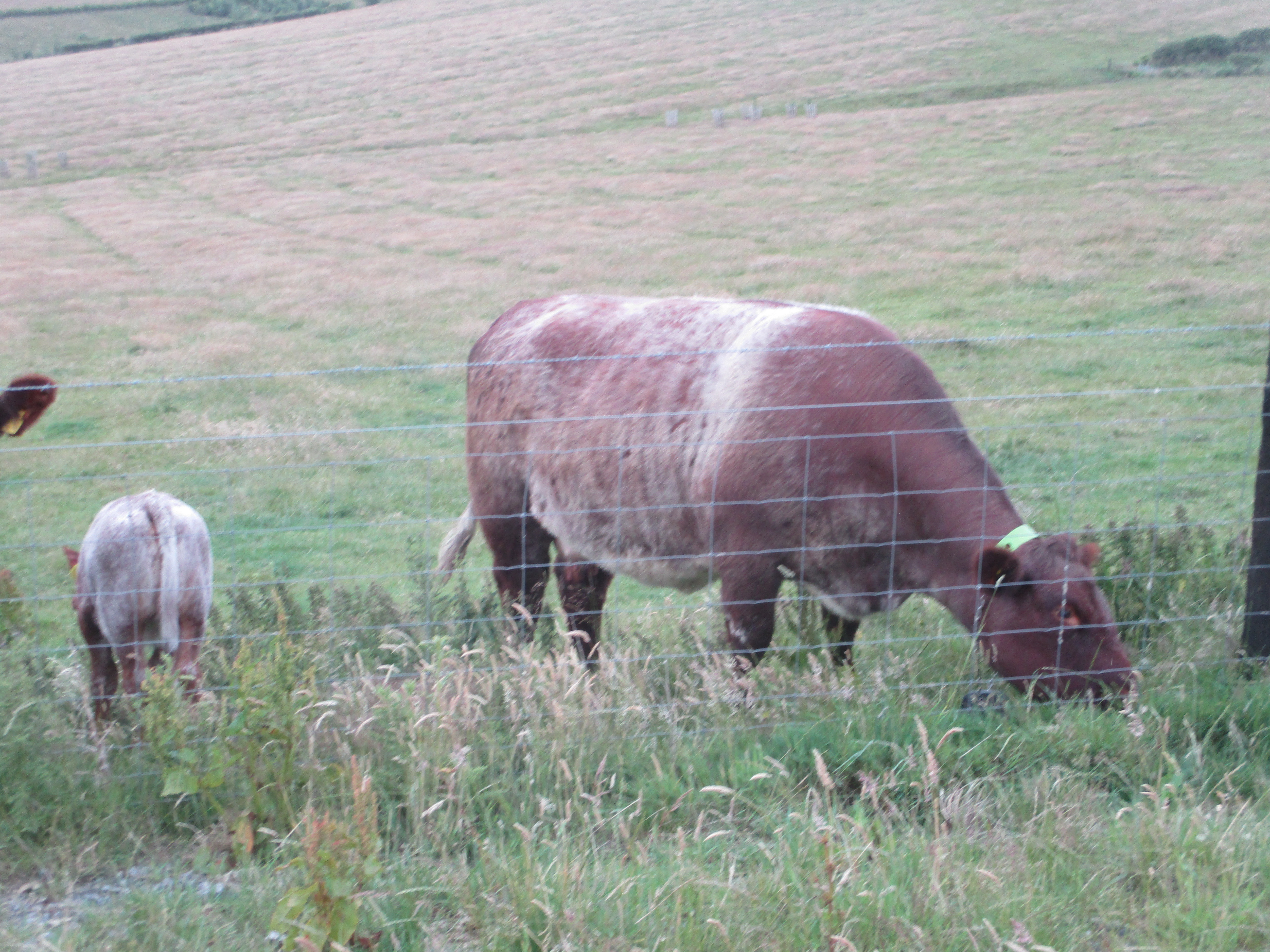
The footpath does not go through the farm but uses a gate on the right.(marked). Once through we started a two miles (at least) tramp through fields and bracken covered moorland, contouring Old Fawdon Hill, seeing but not visiting an ancient settlement, until, after 3.5 miles of walking we descended to Rocky Burn. (Which then becomes Fawdon Burn as it approaches the farm.)


WE walked past the delightfully named Thieves Road Plantation (mile 4) and continued on a good farm track before turning north east to the old farm at Chesters.

The wind was strong, we hunkered down behind a wall for a Herbie, sharing scones and biscuits.

With the wind on our backs we followed the path from Chesters down to, and through a plantation. The path through the wood was steep and tricky, at least one member tripped.(No)

Easiest part of the plantation. The bridge crosses the Chesters Burn. Out of the plantation we were faced with a short but steep climb but having reached the shoulder of Ewe Hill we followed tracks downhill to Ingram Farm and then back to the cars at the centre.
On the way home we stopped at The Shoulder of Mutton in Longhorsley, it keeps TTL.
.jpg)
Contains OS data, copyright. Crown copyright and database right 2025
The walk is about 9 miles with some short steep climbs and great views.


No comments:
Post a Comment