Five go off to Blanchland. January 19th
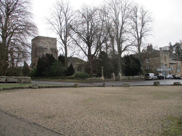
It's some time since we walked from this pretty Northumbrian village. Blanchland owes its existence to the Premonstratensian Canons (the White Monks) who founded an abbey there in 1065. Bashed around by the Scots and dissolved in 1539 the buildings became a house. The village was built using stones from the Abbey in the 17th century by Lord Crewe. The village church of St Mary incorporates the monastic chapel.
From Newcastle take the A69 west, A68 south and watch for signs on the right. There is a large car park at the north end of the village with an honesty box asking for a contribution of £1.
The White Monks tea room in the old village school offers, amongst many things an excellent bacon sandwich in a stottie. (White, round flat bread so called because it was "stotted" off the wall to test it.)
There are five out today: Me, Brian, Margaret, Harry and John C.
The village is on the borders of two maps; OS Explorer 307, Consett and OS OL 43 Hadrian's Wall.
It has been cold recently, -5C we do not expect mud.
Icy and fairly empty car park St Mary's, BlanchlandLeaving the car park we turned left and after a few hundred yards took the track on the left to Cote House Farm. (On some maps it's called Coal House Farm). Once through the farmyard we followed a track heading north west. The farm track is well rutted by tractors (Deep ruts the wagons made, as sung by Johnny Cash). The ruts are filled with ice making walking a little difficult at times but we continued on our way to Pennypie House farm. Named because in days of old when carriers drove these tracks the farm sold pies for a penny (1d for us older Britons).
On the way to Cote House Pennypie house farmKeeping on a northerly track, still icy, we headed on to the track from High Acton Mill, turned left on a path across War Law then North West to the corner of Slaley Forest. At this point we missed the path, slightly, walked through boot cleaning heather, climbed, with difficulty, a wire fence and were back on a footpath heading south west. The footpath, a narrow one with ice, crossed Bulbeck Common with only one stile to negotiate until we reached the shooters' hut at about 5.7 miles. It made a cosy Herbie Spot, out of the cold wind. The positive side of our moorland walk is the vast views looking north over Northumberland, Cheviot in the distance.
Herbie hut, inside and out. Apple pies, sweet and savoury from Mrs A. And seats and a table.
Lunch over we followed good, and ice free, track south towards Beldon Shields. The track turned east and took us to Newbiggin.
Newbiggin livestock.
At Baybridge we turned right and took the footpath on the north side of the River Derwent back to Blanchland.
Public toilets in Blanchland
On the way home we stopped at The Fox and Hounds in Wylam, it sells TTL.
Contains OS data, copyright. Crown copyright and database right 2024
The walk is a bit short of 10 miles, some climbs, some views, well worth the effort.
Blanchland Shooting butt River Derwent White Monks tea room


No comments:
Post a Comment