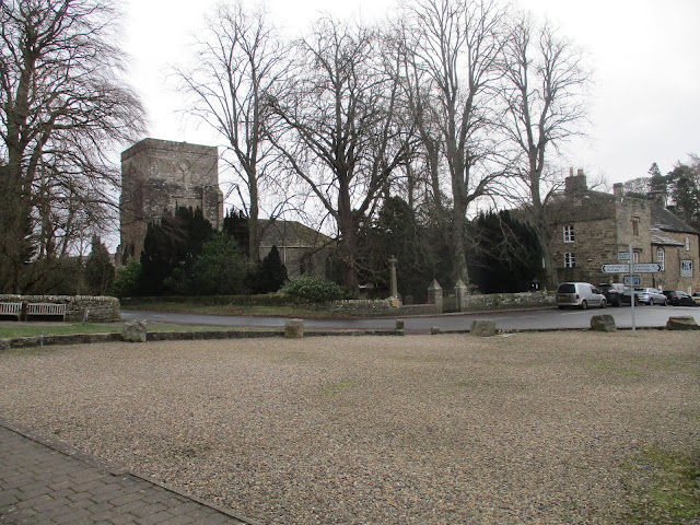
Craster kippers. January 26th.
Back to the coast after last week's slippery moorland walk. A familiar favourite, starting at Seahouses Farm a couple of miles south of Craster, walking up the coast and back across country.
North on A1 to Alnwick, turn east and head for Howick. Pass the entrance to the home of the Grey tea makers and continue to the coast. Park on the the patch of ground near the farm for free.
Maps : OS Explorer 332 Holy Island, OS Explorer 340 Alnwick and Amble.
A team of six today: Brian, Margaret, Ian, Harry, John C and me. The weather forecast is good, cold but sunny which makes a change from the storms that have crossed the islands recently, causing damage, stopping trains and blowing over some high sided vehicles.
Parking near Seahouses Farm, popular starting point.
W started off walking south on the farm track. (A bit muddy). Reaching Sugar Sands and the mouth of the Howick Burn we turned north and followed the coastal path to Craster, seeing little but a robin.
He wouldn't keep still
At Sugar Sands, on the rocks behind the people there is a freshwater spring that runs into the sea. Too sunny for a decent photo and no filters.
At Craster we headed for the Shoreline Cafe for breakfast to find it had closed. It appeared to have been stripped of fittings and equipment too, a shame, it was a good place. Hope it reopens for summer.
So we walked on, passing the kipper factory. The Robson family have smoked herring here for generations, producing the famous Craster Kippers, usually eaten for breakfast. Beyond is the harbour, always worth watching but quiet today.
Craster Harbour. The stump is all that remains of a loading point for stone brought by ariel runway from the quarry which is now a car park.He wouldn't keep still either.
Heading north we crossed the fields to Dunstanburgh Castle, built by Thomas of Lancaster as a "Anything you can do I can do better or just as well" sign to a lordly rival, or the king.
Beyond the castle we walked the edge of the golf course, passing the famous anticline and WW2 bunker.
Anticline and bunker.
The tide was well in and we walked some distance on the dunes before descending to the soft sand. Normally the Embleton Burn is shallow enough to cross as it enters the bay but it was overboot deep today so we walked inland to a wooden footbridge.
Some of us continued on the edge of the golf course and through the holiday chalets to Low Newton. Some went back to the beach but we all met up at Low Newton by the Sea, the open square of cottages and The Ship pub, a popular eating place for visitors. But we sat on the benches for a Herbie. (Carrot cake, sweet and savoury from Mrs A)
Low Newton. Once fishermen's cottages, now holiday homesLunch over we headed back south, passing the bird hide at Newton Ponds, walking the England Coastal Path (Now the King Charles Coast Path), carefully going round the edge of the golf course and then taking the track to Dunstan Steads. (mile 9). From the farm we took the concrete strip to the farm at Dunstan Square (mile 10) and then the road to the village of Dunstan.
Near the bus shelter there is a track, but a few yards in a low level sign points out the public right of way. Taking it we reached Craster Tower (mile 11) through the arch turned left at the next junction and then right to South Farm.
Arch at Craster Tower
We walked across fields from South Farm to the entrance to Howick Hall, turned left and walked down the road back to the cars.
On the way home we stopped at the Ridley Arms in Stannington, busy and serving several beers which went down well.


