Two of us wearing windproofs and waterproofs. December 29th
MUD WARNING
Reduced in numbers again, it is Christmas, John L and I are braving the elements for a gentle walk from Bolam Lake. The small lake is west of Morpeth, the maps for the walk is OS explorer 325 Morpeth and Blyth and OL OS 42 Kielder Water and Forest.
The UK has been hit by storm Gerrit very recently, heavy rain and strong winds spoiled the post Christmas days, particularly in Scotland. We expect a muddy walk.
We parked by St Andrew's Church in the tiny village. It's free. No other cars today and it was quite sunny, but cold. To start with!

Lovely little church of St Andrew, Bolam. The tower is Saxon, the nave is Norman, the small window is where a WW2 bomb pierced the wall but failed to explode. Some 60 years later the pilot returned and apologised.

Parking by the church
We walked back down the lane turned right and headed downhill for the walkers entrance to the Visitor Centre and car park at Bolam Lake.


It made a great Christmas present, copies not available even in good book shops.
There are several footpaths in the country park, we followed the one round the east and south of the lake.

Bolam Lake on a cold December day.
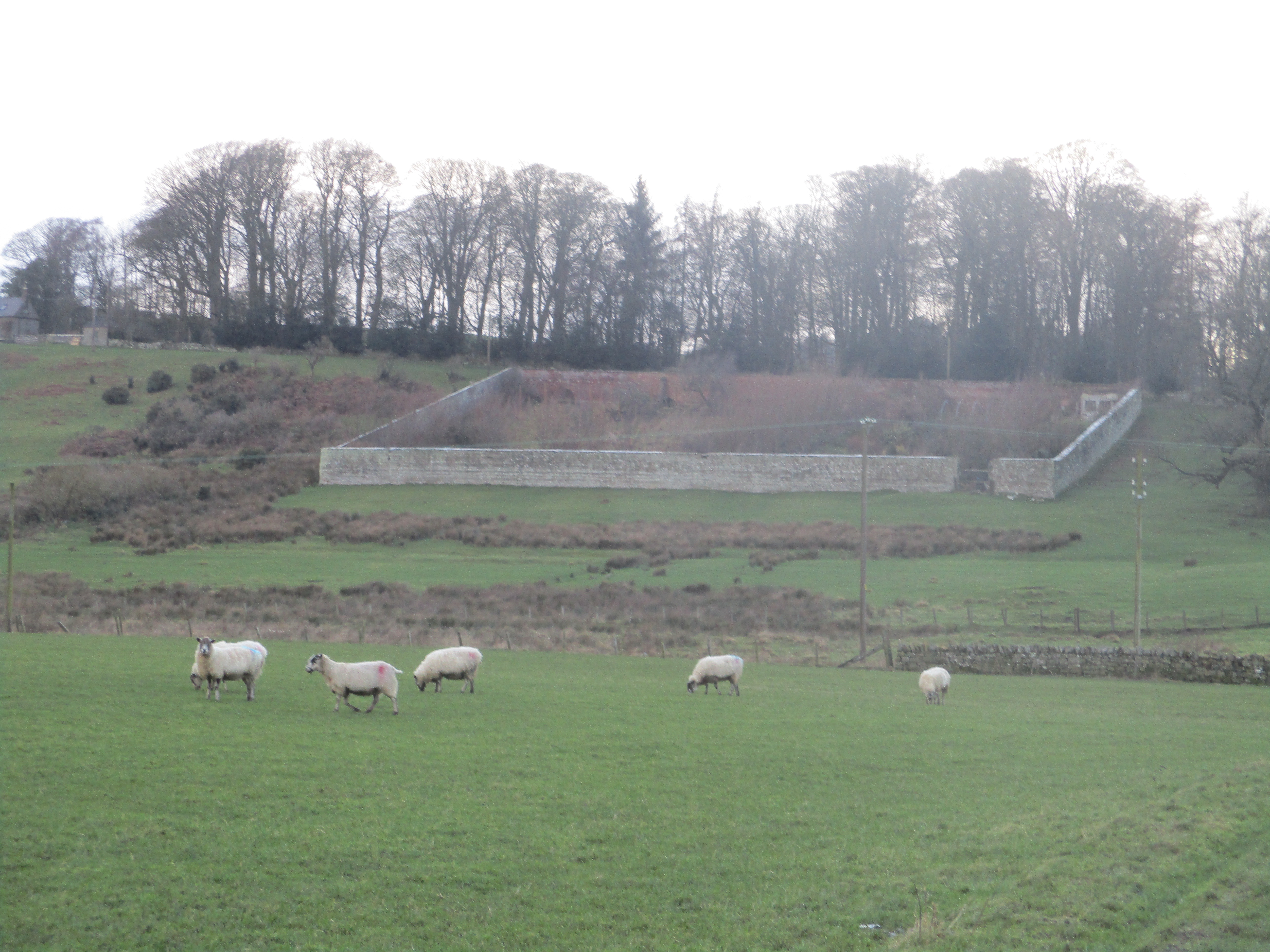
Leaving the lake at the next little car park, near Bolam Low House, we went through the White Gate and walked straight across a field to Shortflatt Tower Farm. The footpath here is clearly marked, not through the farm but over a footbridge before crossing a field to a good farm track. The track curves past Sandyford Farm.

Sandyford Farm, sheep and symmetry.
At mile 3 on the map a footpath heads north across fields to East Shaftoe Hall. The Devil's Causeway, an old Roman Road, crosses the land but its line is difficult to spot, ploughed over centuries ago.

and a gloomy picture of the farm.
At this point it started to rain adding a little misery to the strong wind. We followed the farm track close to the Iron Age fort before turning north to Shaftoe Crags where we took shelter and called a Herbie.


The crags were cut through to assist carters on their way. Never spotted them but there are pick marks on the right and the cut is wide enough for a wagon. It would need good springs!
From the Nick we crossed muddy fields, churned up by hooves until we reached the firm farm track and walked in relative comfort to Bolam West Houses. Turning right we walked down the road to the first small car park on the lake and took the footpath to the left following the north side of the water back to the Visitor Centre. We considered a cup of tea but were so wet and muddy we decided to head back to the car and home.

Contains OS data, copyright. Crown copyright and database right 2023.
A good walk, even in poor weather. About 8 fairly flat miles.


Nice place to visit any time of the year. Frank
ReplyDelete