From the Tyne to Warden. October 27th
Very muddy because of all the recent rain
We were hoping to get it right this week and walk from Seahouses to High Newton but the weatherman's advice is to avoid the damp and dreary coast and head inland where it could be drier.
So we are off to walk from Hexham, stopping at Brockbushes Farm Shop for breakfast.


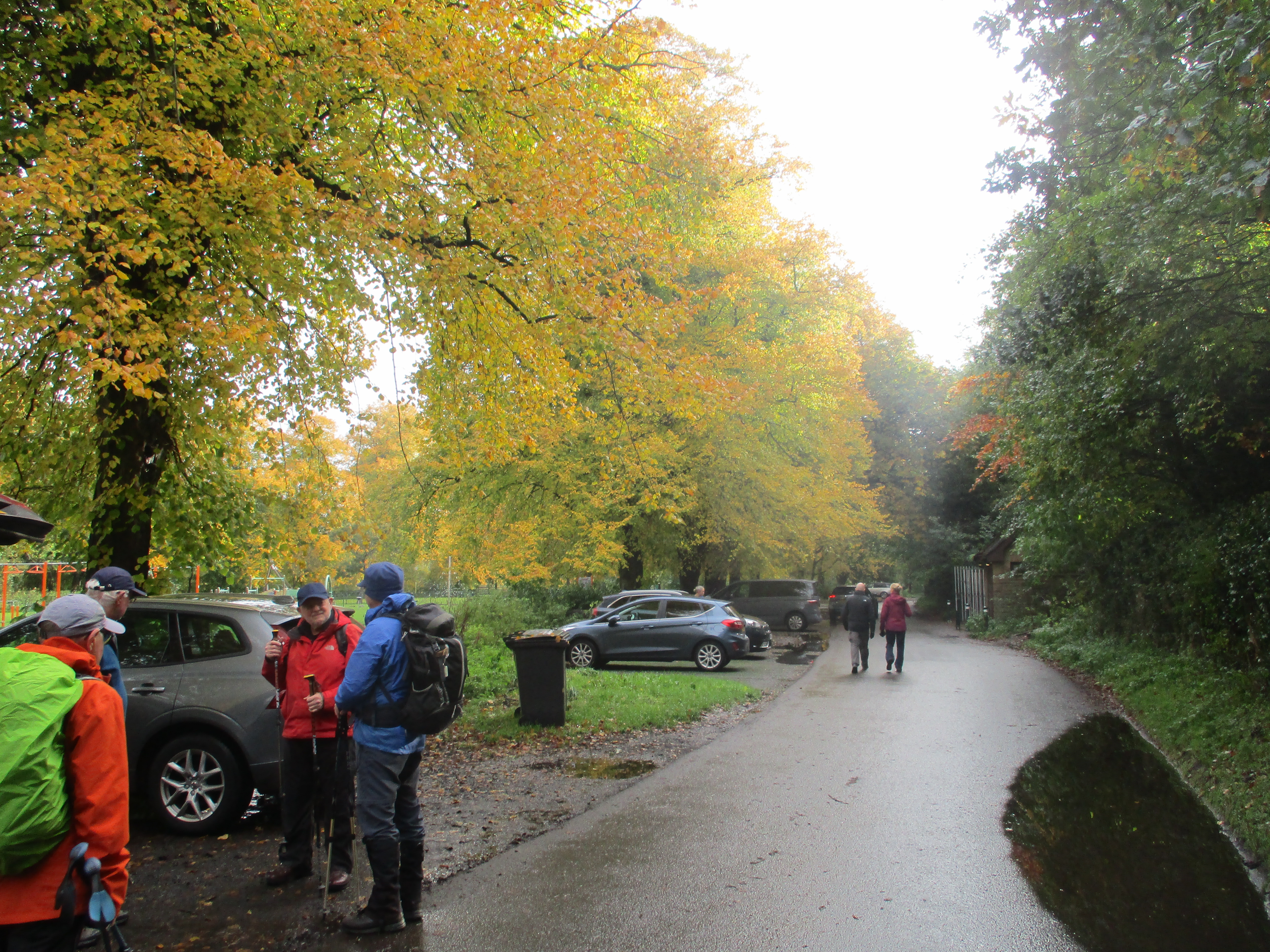
The start is easy to find, A69 west, turn down for Hexham, cross the river and turn immediately into Tyne Green car park, which is free.
The Map is OS OL 43 Hadrian's Wall.
The local cattle mart is next to the car park. Somebody was doing a pretty good version of Leroy van Dykes 1956 hit The Auctioneer.
Booted and coated because the weather man had promised rain we set off on the footpath close to the banks of the Tyne, which, not surprisingly, was full and flowing fairly fast.
Following the riverside path under the A69 we came to the confluence of the North and South Tynes.


Daft as a Brush is a charity which supports cancer victims. The charity has laid out trails on both branches of the Tyne and from where they meet to the sea. They have also produced a book describing the trails which are well posted with their logo. Great charity.
Considering the forecast it was surprisingly warm and most of us removed jackets and a top layer. We continued on the same path, passing the home of a TV star until we reached the bridge at Bridgend . Here we crossed the South Tyne, passed the pub and walked on the road heading almost north towards Warden.

The Boatside, good pub but not today.ƙ
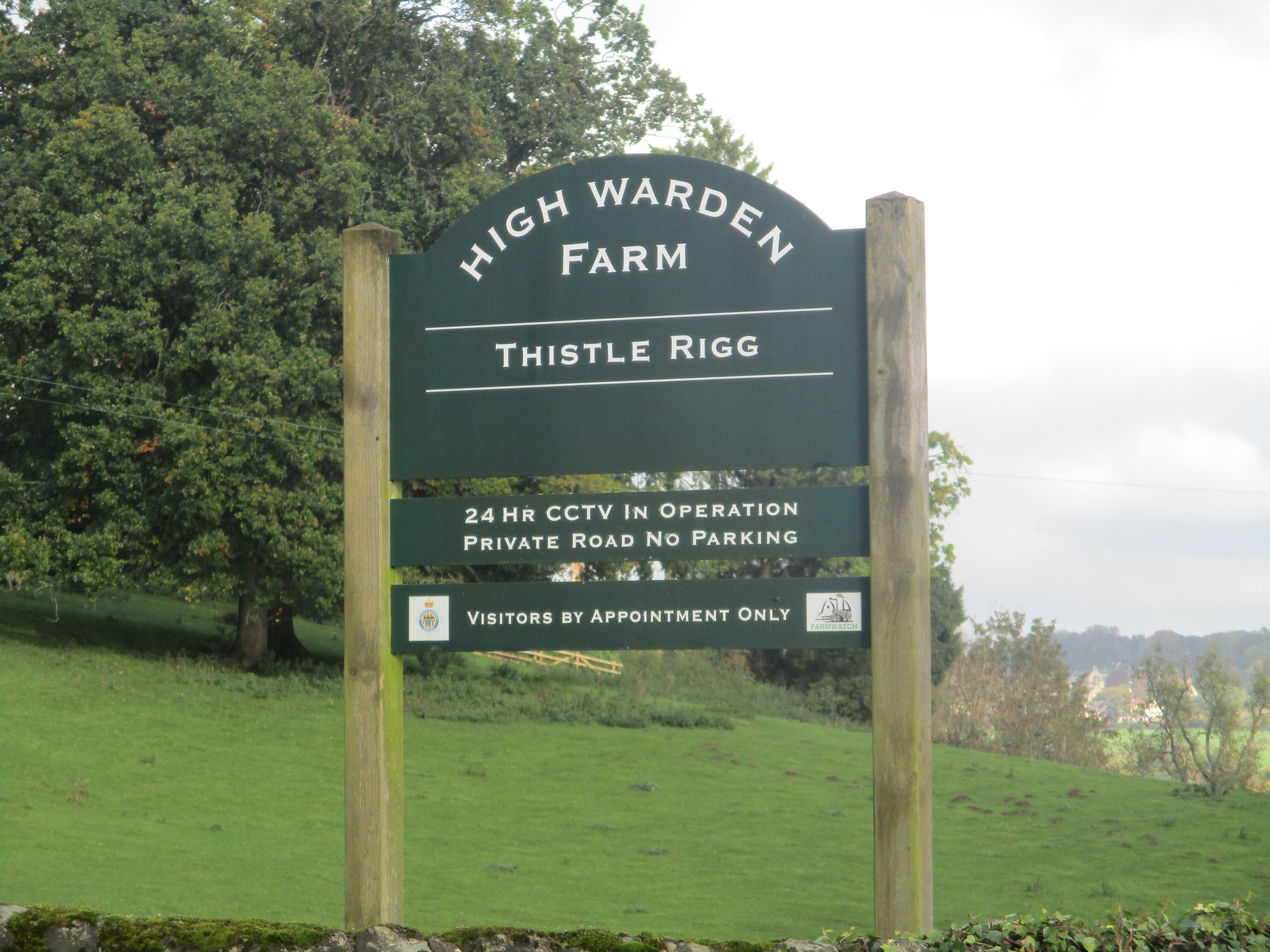
Close to High Warden, just beyond mile 3 we left the road, went through the farm and climbed steadily across fields until we reached the top of Warden Hill, marked " Settlement" on the map. Not having Dave with us to explain, I.m guessing at an Iron Age fort and settlement. We settled in it anyway to have a Herbie. (Skinny whips, cookies, ginger biscuits and rock cakes and savoury buns from Mrs. A) We sat on the grass, enjoying the sunshine and the views.

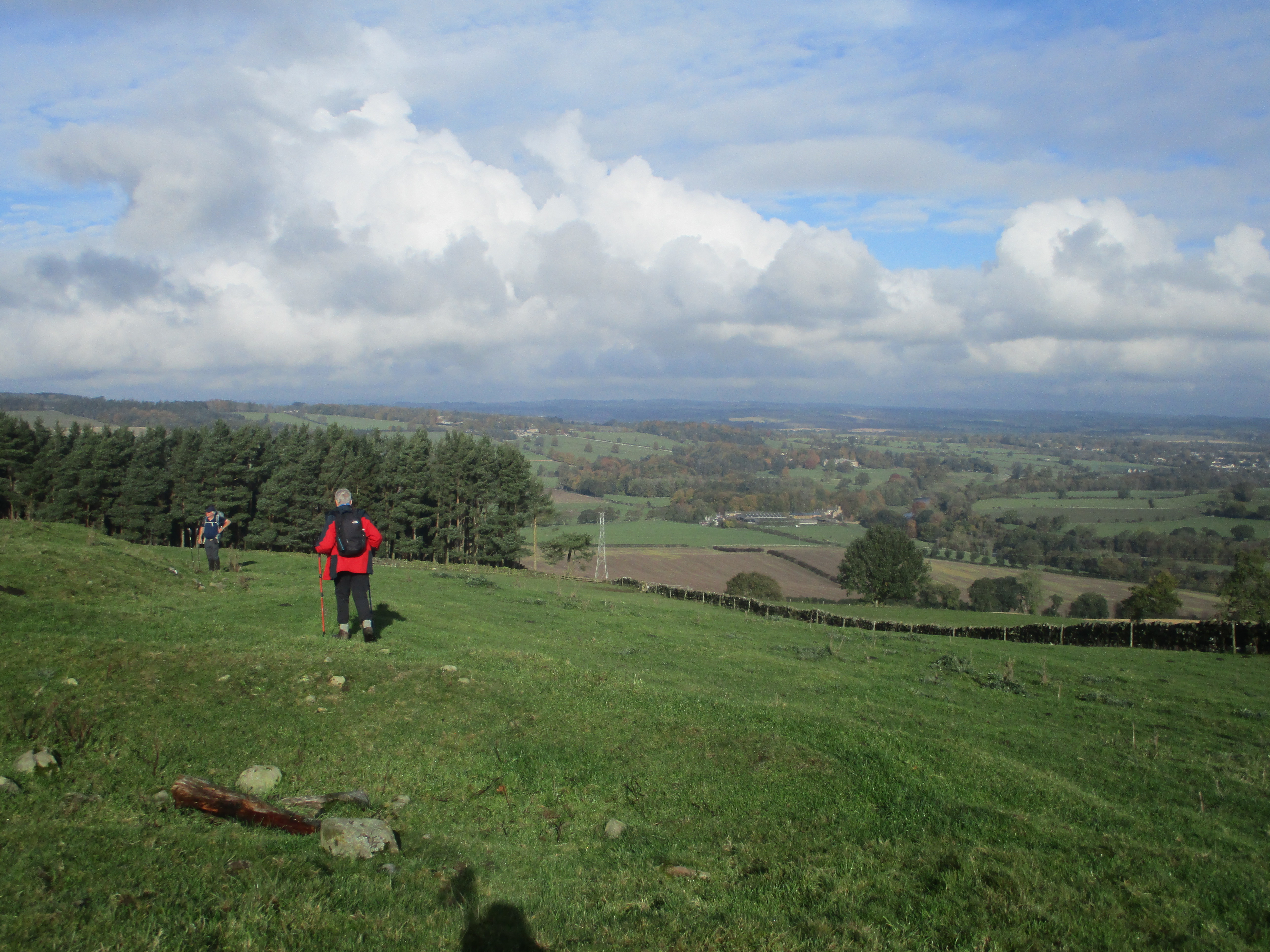
Lunch spot
Lunch over John and I wandered off in a North East direction but were soon called back and the team headed south east to find a gate into a wood. Out of the trees we crossed fields until we were near the railway (mile 6) After a little confusion and wandering we spotted the gate that took us to a narrow footpath close to the railway until we were back at Bridgend.
A short diversion from the walk: we followed the sign post that took us to the confluence of the rivers, the North Tyne seemed faster and fuller.

Meeting of the waters. North on the left, south on the right.
We returned to Bridgend and followed a good track back to the park, passing a golf course and club house before reaching the cars. On the way home we stopped at The Fox and Hounds in Wylam for Tim Taylor's Landlord or coffee.

Contains OD data, copyright. Crown copyright and database right 2023
The walk is 9 miles long. Easy going with one short gentle climb to the top of the hill.


No comments:
Post a Comment