Natalis beati Hadriani Murus* (Nothumberland) May 15th
Unable to join the gadgies on Friday for the weekly walk and philosophical discussions, I have joined the Greens again for a short walk based on Haltwhistle in the Tyne Valley.
Part of the walk is along Hadrian's Wall which was started in 122AD, Taking about six years to complete (Hadrian didn't need planning permission) it crosses England at the narrowest point and is about 80 miles long.
To reach the start head west on the A69, turn off for Haltwhistle head for the town centre but branch right onto Main Street. There is some parking on the side of the road but we parked in Sainsbury's car park. Some of us felt morally obliged to make a purchase.
The map to use is OS OL 43 Hadrian's Wall.
The name Haltwhistle comes from Old English heafod meaning hill and twisla meaning fork in the river, or confluence. It occurs in place names like Twizell near Ponteland.
P
arking at Sainsbury's. Rather smart space dividers.Leaving the car park we walked back up to Main Street, turned right and after a few hundred yards and a terrace turned left down a footpath, passing a football pitch with a rather fine white fence until we came to Haltwhistle Burn.
There remains much evidence of the burn's industrial past when coal was mined, wool and cotton were woven and a light railway carried limestone to kilns for conversion to fertiliser.
Once a mill?
The burn is now a pretty woodland walk, crossing and recrossing the stream.
Remains of a stationery steam engine.
The footpath was once a railway line carrying limestone.
The heron led us upstream but never allowed us near.
Look carefully, there is a lime kiln.Almost at the top of the valley the path emerged, crossed a field and came to the B6318 usually known s the Military Road.
We turned right, walked a few hundred yards if that and took the footpath on the left. This path passes the outlines of several Roman camps and forts and we followed the stream for some time (mile 2) before reaching and crossing a minor road and arriving at Cawfield.
Cawfield. Car park and picnic spot on the wall. It is a disused quarry, but not Roman
Having walked round the small lake we joined the Hadrian Wall path which runs alongside the remains of the actual wall. Soon we reached Milecastle 42:
Milecastle 42 as it may have been and as it is. As the name suggests there is one small castle every Roman mile, about 1000 paces. And between each Milecastle there are two turrets.
Remains of the wall. Originally about 3 metres high. Most of its stones are in nearby farms.
The path alongside the wall follows a line of crags and there are several short but steep ascents and consequently several short but steep descents, and several gates.
Turret 41 B was passed unnoticed but shortly after Turret 41A we stopped for a Herbie. Being a Greens trip there was no sharing, a ritual they should consider.
Steep steps Turret 41A s it may have been and as it is.Break over we continued, crossing a minor road and heading south towards the Military Road again.
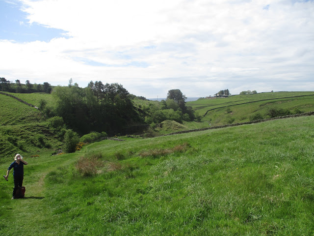
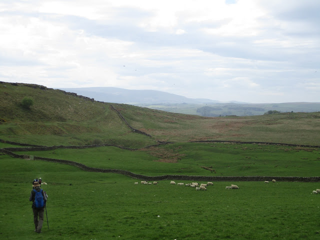
Having safely crossed we headed towards but not to Hill Top before turning south west across the fields on a lovely green track to Hollin Crags. Over more fields that supported cows sheep and horses and went mostly down hill we came to a minor road at Pyke Dyke Neuk, great name.
After a few yards walking down the road we took the footpath on the right and after a couple more fields we crossed the Haltwhistle Burn again, passed the football pitch with the white fence and were soon back at the cars. Then we went home!
Contains OS data copyright. Crown copyright and database right 2022.
The walk is a little over six miles with a few climbs and good views.
* Happy Birthday Hadrian's Wall


No comments:
Post a Comment