Carey and Cold, a favourite walk. (Northumberland) May 14th
The Carey Burn again, I love this walk, my favourite in the lower parts of the Cheviots. It starts at Carey Burn bridge in the Harthope Valley. A1 north, A697, turn into Wooler, turn first left (Cheviot Street), take the right fork and turn right at sign for Langleeford. Off road parking by the Carey Burn bridge.
Six of us out today: Harry, John Ha., Brian, Margaret, Dave and I. The forecast is for cloudy skies but dry
The map to use is OS OL 16 The Cheviot Hills.
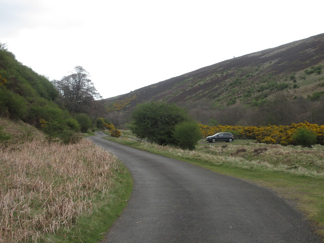
Parking close to Carey Burn Bridge. The notice on the wall is to warn parkers that herds of animals pass this way and have been known to decorate cars.
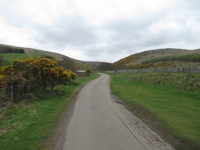
Looking towards the Carey Burn Bridge. Just about visible is the finger post at the start of the walk. If you have an old OS map the path is not marked.Once through the gate we followed the footpath close to the burn. On our side of the path fields, over the stream steep cliffs that have been home to peregrine falcons. Nothing like that today but a pair of Mallards flew downstream. The path in places goes very close to the water, in places it is a very stony track, hard on the ankles and there are a couple of places where walkers meet a mini scramble. Too cold for adders to be out today but no rain to dampen clothes or spirits. Eventually, about a mile and a half in there is a gate into a wood, the sign reminding walkers to be careful of Higland cattle has been vandalised, probably by a teacher of English.
Waterfall on the Carey BurnJohn admires the Carey Burn
Once over the stream the path continues over scrubland until it reaches a footbridge over the Broadstruther Burn. From this point the path turns a little before joining a farm track that goes to the old farm at Broadstruther where we called a Herbie, early perhaps but it's a tradition to eat here and it was well after noon.
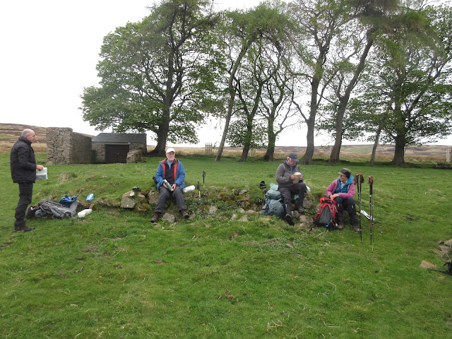
Broadstruther. Once a farm now a shelter dining room for shooters out after grouse starting August 12th.Herbie time; Apple pies, chocolate cake from Mr Cadbury, chocolate biscuits from Mr Rington and savoury tart and cake from Mrs A


No comments:
Post a Comment