A new walk, although we have probably wandered sections of it on previous outings. There are nine of us today, a good turn out; John x 3, Ben, Brian, Harry, Ray, Dave and me almost a full turn out, only the sergeant missing. We are starting the walk in the small market town of Alston in Cumbria. The town shares with Buxton in Derbyshire the distinction of being the highest market town in England, at 1000 feet. Once a thriving place, the centre for the local mines which produced silver, lead, zinc, fluorspar and coal for centuries, dating back possibly to the Romans who built a fort nearby, now called Whitley Castle but then named Epiacum. We walked there once in winter, fine perimeter mounds of earth and little else. Up to the 19th century the London Lead Company which had connections with the Society of Friends was the main employer. The Society of Friends helped provide schools and medical services in the area.
Today the town depends on agriculture and tourism. Some years ago it was used in an ITV production of Oliver Twist and it was the place used for The League of Gentlemen.
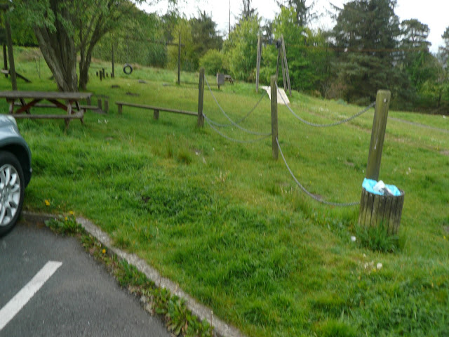
To get to Alston take the A69 west and just after the dual carriageway ends beyond Hexham take the A686 south, turn up into the town to the very top, turn left and park in the Yorkshire car park which also has a fine looking childrens' playground.. A map would be useful: OS OL 31 The North Pennines.
We started the day as usual with tea/coffee/ bacon at the Cumbrian Pantry, a small café at the bottom of the cobbled high street.
And it's free!
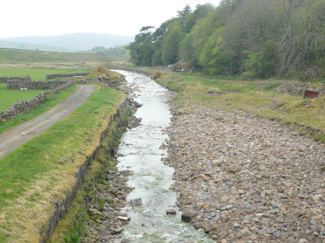
Leaving the town we walked south along the road to Hartside. Just before the bridge over the South Tyne we followed the sign post on the left hand side of the road that took us along the river bank on the Pennine Way which is the longest walk in the UK, starting in Derbyshire and finishing just over the border in Scotland.
Walking on the east bank through woodland and across fields we eventually arrived at a footbridge taking us over the water. The path climbed away from the river giving spectacular views of the opposite bank, it seemed a good place to stop and have a Herbie although we had only covered 3.5 miles.
Crossing the South Tyne
Especially for the ladies who read this! We shared ginger biscuits from Ben, flapjack biscuits from John Ha., Cadbury Cake bars, Snickers, Czech Chocolate (the last bars) and ginger cake from Mrs A. And we had sandwiches.
Looking down from the picnic spot to the South Tyne
Slightly heavier we moved on, slowly, crossing fields until we were just in Garrigill. A sign post for Bredley Hall sent us across a footbridge, although John C. and Dave walked across the river, and almost into the village.
In Garrigill, almost.
We took the road by the old Methodist Chapel and after a short climb followed the faint but marked footpath across the moorland on the south east side of Middle Fell.
Take the road on the left of the old chapel
Even Ben with a masters in gate openings from the Open University had a bit of a struggle with this one.
Keeping to the west of Nenthead we walked through an area of old mine workings, down the delightfully named Greengill Hush before emerging from fields to the road at Grassfield.
After a short stretch on the road we took the footpath on the right and joined Isaac's Tea Trail.
Having passed several cottages on the trail we walked down 120 steps (I counted them) reaching the road at Nenthall where there is a hotel and pub. Crossing the river we turned right and walked over fields alongside the River Nent before taking to the road again towards Blagill. Here we left Isaac and crossed fields to Gossipgate, crossed the river and walked over more fields back to Alston and the car park.
On the way home we stopped at Carts Bog pub and restaurant. The had two real ales on offer and some refreshing soda and lime for the driver.
I got this walk from the Walking Britain Site, walk number 1084. The difference is that author Andy Chaplin starts in Garrigil and goes clockwise plus we cut a corner off. It is a terrific walk, riverside paths, Lauder grass on the moors and superb views of the north Pennines.
The Matrix MMVII RRRR
steps miles
NAK 33542 12
Dave's 3D 27034 11.9
"" USB 25140 11.9
"" NAK 25063 11.86
iPhone 28537 12
OUTDOOR 11.9
I forgot to ask John C. and Brian
Contains OS data. Copyright |


No comments:
Post a Comment