John Martin Allen Banks.........January 20th.(Northumberland)
Another favourite, last done as recently as October 2016. Five of us, Harry, Brian, John H. Dave and me are setting out yet again to walk the John Martin Trail from Haydon Bridge in Northumberland.
John Martin (1789-1854) was an artist, born in Haydon Bridge, famed for his vast paintings, often with a Biblical theme. Supposedly inspired by the rocks and gorges of Allen Banks his works include such delights as The Destruction of Sodom and Gomorrah and The Bard.
 Belzhazzar's Feast. Looks like they feed as well as us gadgies
 The destruction of Tyre. Proper painting by John Martin
The walk starts from a car park near the Shaftoe School in Haydon Bridge. To get there, west on the A69, turn right for Haydon Bridge, turn left, pass the Anchor Hotel and after the Haydonianclub turn sharp left to the school and car park.
This week's breakfast was in Brockbushes Farm and Garden Centre off the Corbridge roundabout and on the north side.

 Brockbushes farm and gift shop. Good coffee and bacon sandwiches. And their tractor
The map to use is OS OL 43 Hadrians Wall, a double sided map and naturally the walk is covered on both sides to make life difficult on a windy day. Copy and laminate.
 Car park near the school
 Reverend Shaftoe ruined many a child by sending them to school.
The walk:
We walked back down the hill past the school, crossed the road and followed the track past several new looking houses before reaching East Lands Farm, birthplace of John Martin.
 I love this sign, designed to keep John's fans out
 I suspect the TV dish wasn't there in 1789 when John was born in this humble cottage
Continuing west we came to Lees Farm and were greeted by the old three legged collie who lives there. Brings the tear jerker "Old Shep" to mind.
We walked past the cottages to the fields, crossing three muddy ones before coming to the gate in the corner which opens onto a road. The road took us down hill until we spotted the entrance to Allen Banks, a National Trust property.
 Enter here for Allen Banks, woodland and river
 John was inspired, so were we.
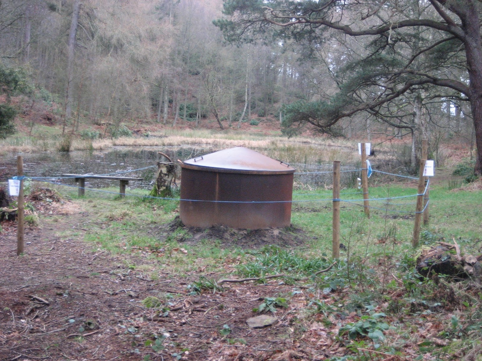
The path crossed a field before we entered Moralee Wood. We passed the tarn, which had no feathery inhabitants but does have a charcoal burner and began the descent to the River Allen. The path is steep in places, a little muddy today and the woodlands have recently been cleared of dead wood. Heavy rain just over a year ago caused rock falls and land slides but the path is completely open again.
 Ben models his new Rohan waterproof gloves. The path forks here, take the right one in the direction of the arrow

Follow these signs to the river bank.
Once on the river bank we walked by the fields, up to a short stretch of road that brought us down to Plankey Mill, Herbie Spot. With picnic tables, even in winter.

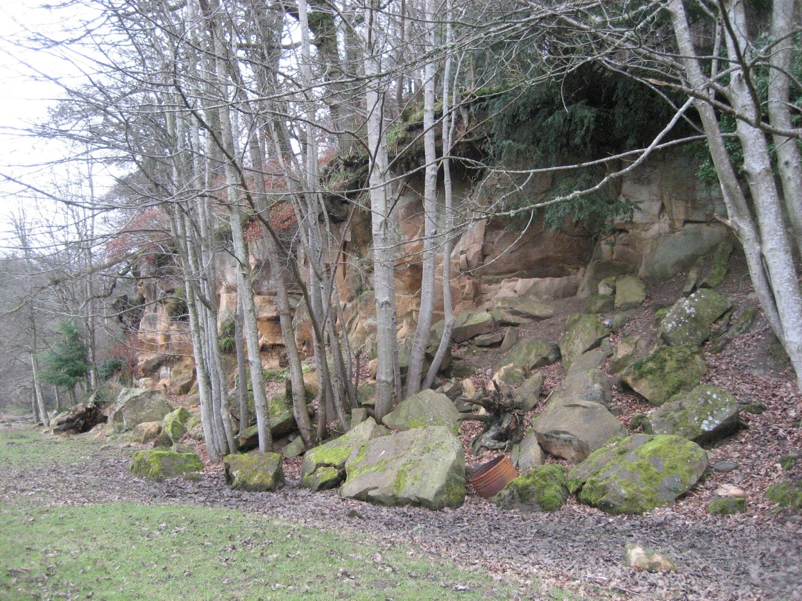
 Are these the rocks that launched a few paintings?
 Still life: ginger biscuit, pork pie, cheese scone with added cheese, apple pie and snickers.
Sandwiches too, and coffee(178 ponds, 12 stones 10 if you want to know)
Break over we continued across fields along the river bank before re-entering the woods. The fields had been well ploughed by moles.
Part of the path has steps fashioned from logs to help prevent erosion but I think we were all pleased to finish the final steep climb to the ruined peel.


 Staward Peel, outside, inside, occupied and explained.
The peel was built on a narrow isthmus between two streams and the path leaving it is narrow. At the end we crossed a field before being back in the woods, following another steep and muddy path downhill, crossing a footbridge and climbing another steep muddy path, emerging into a field and walking to Harsondale Farm.

 There is a story here; Back in April I slipped on a log, fell heavily (190pounds) on my shoulder. X rays showed no bone damage but tissue damage. Physiotherapy and exercise has slowly cured the problem. Now I can step across logs easily.
We walked along the farm track towards the road. Not far from the farm is a footpath well worth following on another day. It goes to Silly Wrea Farm, an establishment still using horse power for many of the jobs on the farm. But today we headed for the road, turned left and walked north east (mile 7), crossing another road and heading across fields to West Deanraw Farm.

Looks fierce but very friendly, if muddy.
Beyond the farm we turned right and walked down the road to Castle Farm, near Langley Castle, hotel and wedding venue. Normally we pass the hotel and follow the footpath to Threepwood but for a change we followed the sign post near the Castle Farm which sent us back to East Lands Farm and the car park.
Changed we headed for the Boathouse Pub in Wylam which boasts a selection of 14 hand pulled beers. An ale drinker's pub, or is too much choice too little choice. Anyway I was designated driver.
A popular walk, 10 miles of woodland, field and scenery. Muddy in winter but enjoyable.
Matrix MMXVII D
steps miles
NAK 27404 11.24
Dave's 3D 23198 10.67
"" USB 22328 10.57
"" NAK 22084 10.54
iPhone 24286 10
OUTDOOR GPS 10
Brian 10.02
Ben 9.92
Garmin 10.21


Another favourite, last done as recently as October 2016. Five of us, Harry, Brian, John H. Dave and me are setting out yet again to walk the John Martin Trail from Haydon Bridge in Northumberland.
John Martin (1789-1854) was an artist, born in Haydon Bridge, famed for his vast paintings, often with a Biblical theme. Supposedly inspired by the rocks and gorges of Allen Banks his works include such delights as The Destruction of Sodom and Gomorrah and The Bard.


The walk starts from a car park near the Shaftoe School in Haydon Bridge. To get there, west on the A69, turn right for Haydon Bridge, turn left, pass the Anchor Hotel and after the Haydonianclub turn sharp left to the school and car park.
This week's breakfast was in Brockbushes Farm and Garden Centre off the Corbridge roundabout and on the north side.


The map to use is OS OL 43 Hadrians Wall, a double sided map and naturally the walk is covered on both sides to make life difficult on a windy day. Copy and laminate.


The walk:
We walked back down the hill past the school, crossed the road and followed the track past several new looking houses before reaching East Lands Farm, birthplace of John Martin.


Continuing west we came to Lees Farm and were greeted by the old three legged collie who lives there. Brings the tear jerker "Old Shep" to mind.
We walked past the cottages to the fields, crossing three muddy ones before coming to the gate in the corner which opens onto a road. The road took us down hill until we spotted the entrance to Allen Banks, a National Trust property.


The path crossed a field before we entered Moralee Wood. We passed the tarn, which had no feathery inhabitants but does have a charcoal burner and began the descent to the River Allen. The path is steep in places, a little muddy today and the woodlands have recently been cleared of dead wood. Heavy rain just over a year ago caused rock falls and land slides but the path is completely open again.


Follow these signs to the river bank.
Once on the river bank we walked by the fields, up to a short stretch of road that brought us down to Plankey Mill, Herbie Spot. With picnic tables, even in winter.


Sandwiches too, and coffee(178 ponds, 12 stones 10 if you want to know)
Break over we continued across fields along the river bank before re-entering the woods. The fields had been well ploughed by moles.
" Who was the longest burrowing leader in Africa ?" asked Brian.
"Jomole Kenyatta"
The path climbs steadily towards Stawards Peel AND TODAY IT WAS VERY MUDDY, to the point of being slippy.Part of the path has steps fashioned from logs to help prevent erosion but I think we were all pleased to finish the final steep climb to the ruined peel.


The peel was built on a narrow isthmus between two streams and the path leaving it is narrow. At the end we crossed a field before being back in the woods, following another steep and muddy path downhill, crossing a footbridge and climbing another steep muddy path, emerging into a field and walking to Harsondale Farm.


We walked along the farm track towards the road. Not far from the farm is a footpath well worth following on another day. It goes to Silly Wrea Farm, an establishment still using horse power for many of the jobs on the farm. But today we headed for the road, turned left and walked north east (mile 7), crossing another road and heading across fields to West Deanraw Farm.

Looks fierce but very friendly, if muddy.
Beyond the farm we turned right and walked down the road to Castle Farm, near Langley Castle, hotel and wedding venue. Normally we pass the hotel and follow the footpath to Threepwood but for a change we followed the sign post near the Castle Farm which sent us back to East Lands Farm and the car park.
Changed we headed for the Boathouse Pub in Wylam which boasts a selection of 14 hand pulled beers. An ale drinker's pub, or is too much choice too little choice. Anyway I was designated driver.
A popular walk, 10 miles of woodland, field and scenery. Muddy in winter but enjoyable.
Matrix MMXVII D
steps miles
NAK 27404 11.24
Dave's 3D 23198 10.67
"" USB 22328 10.57
"" NAK 22084 10.54
iPhone 24286 10
OUTDOOR GPS 10
Brian 10.02
Ben 9.92
Garmin 10.21
Walking time 3hrs 8 mins. Talking 1 hour 53mins (Talked too much?)
 |
I have tried to put them together, without success. Need a child to explain
Contains OS data copyright. Crown copyright and database right 2017
|


No comments:
Post a Comment