ИНГРАМ ДОЛИНА .......НОЯБРb 24
Not strictly a gadgie walk although several of us qualify for a bus pass but on Sunday November 24th our little group of Russians, English trying to learn Russian and English who are so hopeless they have given up had a walk in the Ingram Valley. The team of ten is made up of John and Liz, Irina and Jeremy, Susan, Joanne, Irina G, Ruth, Kate and me. An odd collection.
Meeting at the car park just over the bridge at Ingram (A1, A697, signpost Ingram) we were about to set off when a lady on horseback approached to inform us that the old Ingram Information centre, closed for two years, had reopened at last as The Muddy Boots Café. A shame, we had not planned for morning coffee and wanted to be on our way but this piece of news will be very welcome with the gadgies and no doubt in the very near future the café will be put to the flitch test.


 Pen, cob and cygnet


Not strictly a gadgie walk although several of us qualify for a bus pass but on Sunday November 24th our little group of Russians, English trying to learn Russian and English who are so hopeless they have given up had a walk in the Ingram Valley. The team of ten is made up of John and Liz, Irina and Jeremy, Susan, Joanne, Irina G, Ruth, Kate and me. An odd collection.
Meeting at the car park just over the bridge at Ingram (A1, A697, signpost Ingram) we were about to set off when a lady on horseback approached to inform us that the old Ingram Information centre, closed for two years, had reopened at last as The Muddy Boots Café. A shame, we had not planned for morning coffee and wanted to be on our way but this piece of news will be very welcome with the gadgies and no doubt in the very near future the café will be put to the flitch test.

A good starting point for future walks.
The finger post is in the corner of the car park and not only directs to the café but is the beginning of the walk. We followed the path through a small wood and, pretending the café was not there, took the lane past St. Michael's church. St. Michael was the patron saint of Marks and Spencer and this church dates back to the 11th century although much of it was restored and /or rebuilt in the 18th and 19th century.
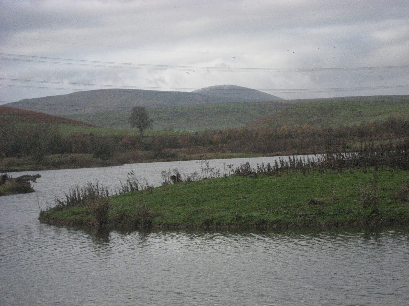
At the top of the lane, just past the village hall, we turned left through a gate and followed the footpath past Ingram Mill and a few houses across some very muddy fields beneath East Hill, home of a Hang Gliding Club. Across the valley, which is very wide at this point we had a good view of the Cultivation Terraces and mounds and furrows of yesteryear, although nobody seemed interested.

A grey day but the terraces are clearly visible on Heddon Hill
Had archaeologist Dave been with us he would have been able to tell whether they were Romano British or medieval. There is so much ancient stuff in this valley which was once a thriving community. The path is well posted with little yellow markers and eventually they led is downhill to the road to Branton.
We turned left and after about a hundred yards turned right through the gate into the conservation area. Two former gravel pits have been turned into a nature reserve and there were lots of water birds on the ponds today. A variety of ducks, some swans and a heron. (A proper walk then)
We walked to the far end of the ponds and decided to take a break in the bird hide.
Most of us had brought tea or coffee but John had a flask of Sloe Gin, Liz had some cake and Kate had brought some home made peanut butter fudge. No wonder I am getting fat.

Room for ten inside.

The pond
Snack over we paused for a team picture:

John, me, Ruth, Jeremy, Irina, Joanne, Liz, Irina G, and Susan

The photographer, Kate
We crossed the flood barrier and left the reserve, crossing the Breamish by the footbridge. The original plan was to walk up the road to Brandon and return across the fields (and the cultivation terraces) to the car park but as time was getting on and we had lunch booked at the Anglers Arms we decided to walk back along the road.
Shame we missed out on the path past Heddon but it was agreed it had been a lovely little walk.
Plotted on OUTDOORS GPS it was 5.1 miles.
We were welcomed at the Anglers Arms and shown into the dining room. After a good meal (I had fish and chips which were up to Gormans standard followed by sticky toffee pudding and coffee) we went to our separate homes. Thanks to all for an enjoyable day out, looking forward to the next.


Two views of the Breamish.
No comments:
Post a Comment