Miles of stiles on the Maiden Way. (Northumberland) August 14th.
Friday the 14th was, as promised, a day if not a season of mists and mellow fruitfulness, and it's only August. After a week of high temperatures the clouds have rolled in from the north sea, blanketing Northumberland but not lowering the temperature enough to cut out the high humidity.
Five of us, Brian, Margaret, John H., Dave and I are off for a walk from Slaggyford in the South Tyne Valley. Slaggyford (from OE Choggeford meaning muddy ford) is best reached by heading west on the A69, turning south on the road to Alston near Haydon Bridge and once you have reached Alston, follow signs and hope for the best else you will be lost in a network of minor roads.
The walk is covered by OS OL 43, Hadrian's Wall but you could manage without it.
On the way we stopped for breakfast at Brockbushes farm shop and restaurant on the Corbridge roundabout. Under Covid rules it was a question of wait to be seated, read the menu, place your order and please if possible pay by card. The system worked well because we were first in, when we left there was quite a queue.
 Brockbushes was busy with diners and PYO enthusiasts
Slaggyford has a station on the narrow gauge railway line which is now a tourist attraction although once it was a fully sized and operational track to Alston. Just across the railway line is a small car park, free.

 Car park and station. A deep discussion on the possible route perhaps.
The walk;
You can leave the car park, cross the line and walk downhill to the road, or as we did, you can cross the line, take the footpath just over the railway and follow it down to the road. Either way turn south and walk along the road, past the caravan park to the narrow bridge that crosses the South Tyne to the farm at Williamston.
Go through the farm yard and follow the track all the way to Lambley Viaduct.
After an initial climb the track is easy going through fields and woodland.
 Looking down on Slaggyford
 There's always a Lime Kiln!
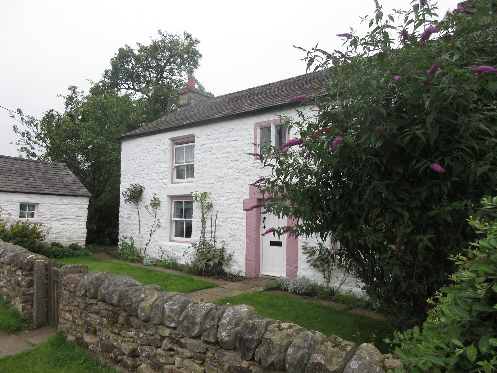
The track goes past Parson Shields Farm and the delightfully named The Bog. At Eals Bridge the walk follows a road and goes through Eals, a collection of pretty cottages .
 Eals Bridge
 Pretty cottage at Eals
Just beyond Eals at abend in the road we made use of a low wall as a series of seats and enjoyed the first Herbie of the day. (Almond slices, flapjacks, Skinny Whips, savoury buns and rhubarb cake from Mrs A) We had walked just over four miles.
Lunch over we continued. The road passes a footbridge over the Tyne which you could use to shorten the walk. But we crossed fields and a footbridge before climbing the narrow footpath through Townsbank Wood. The footpath continues along the edge of Hag wood which has been cut down. The branches left behind to rot make it an ugly sight but it gives a good view of the viaduct.
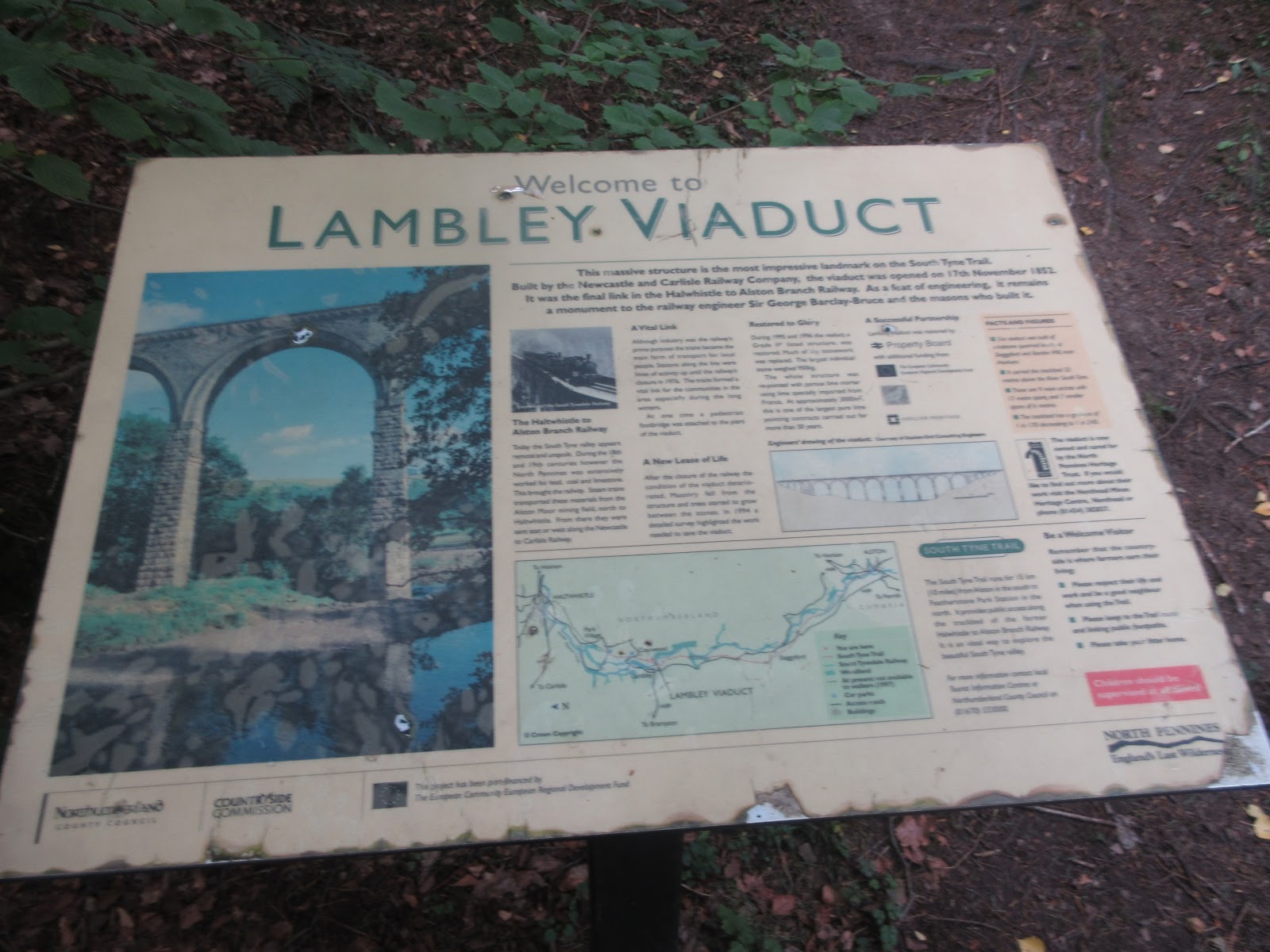
 Lambley Viaduct.
The path emerges on to a road, once the railway line. Turn left and cross the viaduct.
The far end of the viaduct is blocked off, which is a shame.

 Viaduct and escape route.
Go through the gate and down the steps. At the junction you have a choice; turn right and follow the River Tyne trail along the old railway line or, as we did, turn left and climb up to Lambley Village.
Spot the sign post in the village and cross fields, go under a road (underpass, not long enough to qualify as a tunnel)
The path reaches a house on the roadside. Cross the road and follow the sign post that says Burnstones 3 miles. You are now on the Maiden's Way which follows the line of a Roman Road and is also a section of the Pennine Way, the longest long walk in the UK, from Derbyshire to Scotland, just.
 Who built this straight road? Could it be the Romans?
Eventually the track as shown above becomes a footpath and as it crosses many fields there are many stiles. Mostly ladder stiles and mostly in good condition. Most have Pennine Way markers too so it is easy to follow the route. At Glendue Burn we stopped for a mini Herbie, mostly anything left over!
 We have a sign
At Burnstones, which also has a fine bridge, it is possible to join the South Tyne Way and go back to Slaggyford on the old railway line. We continued following the Pennine Way through fields past Merry Knowe, going under the railway and crossing the Knar Burn by footbridge before walking a track back to the station at Slaggyford.
Changed we headed for the Elk Hotel at Whitfield but it was closed so he moved on to Cart's Bog, romantic name, and had beer or tea or soda and lime before heading home.
We agreed that the walk was about 11.5 miles.
 Contains OS data, copyright. Crown copyright and data base right 2020.
Next week we are doing this year's long walk in the Yorkshire Dales so there will not be a blog for a couple of weeks.
And a few more





Friday the 14th was, as promised, a day if not a season of mists and mellow fruitfulness, and it's only August. After a week of high temperatures the clouds have rolled in from the north sea, blanketing Northumberland but not lowering the temperature enough to cut out the high humidity.
Five of us, Brian, Margaret, John H., Dave and I are off for a walk from Slaggyford in the South Tyne Valley. Slaggyford (from OE Choggeford meaning muddy ford) is best reached by heading west on the A69, turning south on the road to Alston near Haydon Bridge and once you have reached Alston, follow signs and hope for the best else you will be lost in a network of minor roads.
The walk is covered by OS OL 43, Hadrian's Wall but you could manage without it.
On the way we stopped for breakfast at Brockbushes farm shop and restaurant on the Corbridge roundabout. Under Covid rules it was a question of wait to be seated, read the menu, place your order and please if possible pay by card. The system worked well because we were first in, when we left there was quite a queue.

Slaggyford has a station on the narrow gauge railway line which is now a tourist attraction although once it was a fully sized and operational track to Alston. Just across the railway line is a small car park, free.


The walk;
You can leave the car park, cross the line and walk downhill to the road, or as we did, you can cross the line, take the footpath just over the railway and follow it down to the road. Either way turn south and walk along the road, past the caravan park to the narrow bridge that crosses the South Tyne to the farm at Williamston.
Go through the farm yard and follow the track all the way to Lambley Viaduct.
After an initial climb the track is easy going through fields and woodland.


The track goes past Parson Shields Farm and the delightfully named The Bog. At Eals Bridge the walk follows a road and goes through Eals, a collection of pretty cottages .

Just beyond Eals at abend in the road we made use of a low wall as a series of seats and enjoyed the first Herbie of the day. (Almond slices, flapjacks, Skinny Whips, savoury buns and rhubarb cake from Mrs A) We had walked just over four miles.
Lunch over we continued. The road passes a footbridge over the Tyne which you could use to shorten the walk. But we crossed fields and a footbridge before climbing the narrow footpath through Townsbank Wood. The footpath continues along the edge of Hag wood which has been cut down. The branches left behind to rot make it an ugly sight but it gives a good view of the viaduct.

The path emerges on to a road, once the railway line. Turn left and cross the viaduct.
The far end of the viaduct is blocked off, which is a shame.


Go through the gate and down the steps. At the junction you have a choice; turn right and follow the River Tyne trail along the old railway line or, as we did, turn left and climb up to Lambley Village.
Spot the sign post in the village and cross fields, go under a road (underpass, not long enough to qualify as a tunnel)
The path reaches a house on the roadside. Cross the road and follow the sign post that says Burnstones 3 miles. You are now on the Maiden's Way which follows the line of a Roman Road and is also a section of the Pennine Way, the longest long walk in the UK, from Derbyshire to Scotland, just.

Eventually the track as shown above becomes a footpath and as it crosses many fields there are many stiles. Mostly ladder stiles and mostly in good condition. Most have Pennine Way markers too so it is easy to follow the route. At Glendue Burn we stopped for a mini Herbie, mostly anything left over!

At Burnstones, which also has a fine bridge, it is possible to join the South Tyne Way and go back to Slaggyford on the old railway line. We continued following the Pennine Way through fields past Merry Knowe, going under the railway and crossing the Knar Burn by footbridge before walking a track back to the station at Slaggyford.
Changed we headed for the Elk Hotel at Whitfield but it was closed so he moved on to Cart's Bog, romantic name, and had beer or tea or soda and lime before heading home.
We agreed that the walk was about 11.5 miles.

Next week we are doing this year's long walk in the Yorkshire Dales so there will not be a blog for a couple of weeks.
And a few more