A walk on the Wallington Estate (Northumberland) July 13th.
Another repeat, another gentle stroll in Northumberland. Five of us walking from Greenleighton around Fontburn Reservoir and back. Today's team: Brian, Margaret, Harry, Dave and me.
Head north from Newcastle through Ponteland to Scots Gap and continue in a northerly direction until you spot the signpost on the left for Greenleighton. There is a small car park in a disused quarry free and gated.
The map for this walk is OS OL 42 Kielder Water and Forest.
Today's car park in picturesque Northumberland.

 Such an attractive car park it deserves two pictures.
We left the car park by the small gate to the right of the large gate and walked along the track, keeping to the right at the Greenleighton sign until we reached a gate.
 Keep right on to the next gate.
At the gate we turned left and kept to the edge of the field. Turning right at the corner we soon found the gate into a wood and followed the footpath down the edge of it to another gate, marked like most of this walk.
From here we walked across the moor with a few sheep for company and a view of Simonside.


Enough wool on that fence where the sheep have rubbed for a small sweater.
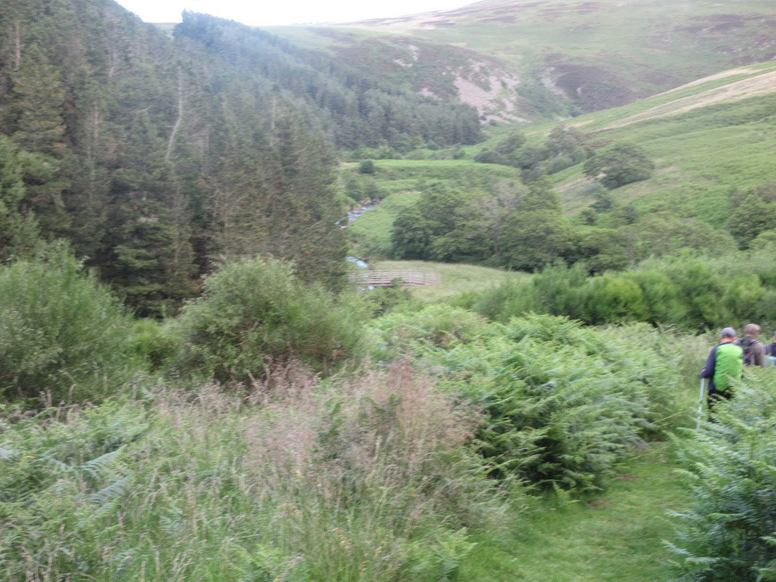
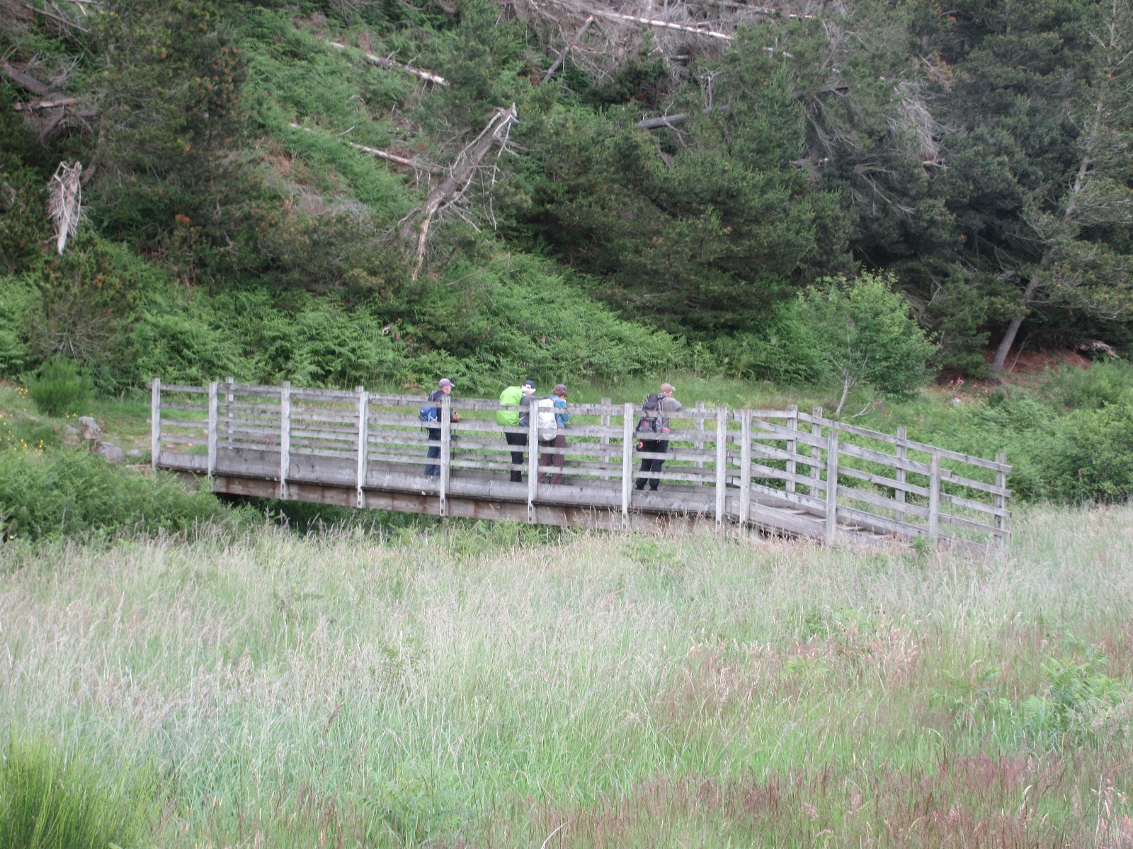
We followed the track across the field, got a little disorientated as we approached the wood at Fontburn but soon found the entrance to the reservoir waterside walk turning left through the gate and following a footpath which crossed a couple of streams by means of footbridges. It was a lovely woodland walk, flowers, butterflies and the" flies so numerous they did swarm."
 Foxglove. In German it's Fingerhut but a lady in Austria told me the local name was Volksglaub

Footbridge or Steg in German.
Eventually the fly ridden walk emerged from the woodland onto fields near Newbiggin Farm. The signpost by a gate that points the way to the waterside walk is not too visible and the footpath goes through thick bracken but eventually arrives close to the water's edge.
 First view of the reservoir.
The path, which eventually morphs into a track goes along the edge of the water which was pretty low today, until it reaches the dam.
We crossed the dam. Below are the treatment works and a fine Victorian viaduct on the long dismantled railway.
 Angling is now permitted but the reservoir is still closed. Once on a walk across the dam we watched a tanker pouring hundreds of live fish into the water.
 Railway viaduct and treatment works.
On the south side of the dam, through a gate is the fishermen's shop, toilets and picnic tables. The amenities were closed but we made use of the tables for a Herbie Spot.
 Civilised Herbie Spot where we shared Titans, flapjacks and savoury tarts.
 Weigh house and children's play area. Both closed.
Lunch over we continued round the water passing another closed building which is marked as a Visitor Centre on some maps and a Rare Breeds centre on others. We didn't see any visitors or rare breeds.
The path goes through woodland to a gate which we went through. Initially the path goes south and has post on it but somehow we got separated. Brian and Margaret took the correct path south west to the Trig Point on Greenleighton Hill and then followed the track back to the car. Harry, Dave and I continued on another track heading south.
 Rare visitor centre
 Looking back at the reservoir
 Friendly? Bullocks
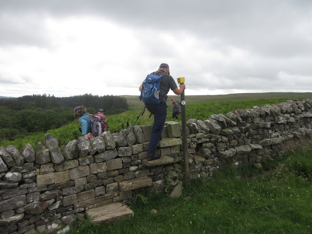
At one point Dave climbed a well built dry stone wall and walked down to the road back to the car. Harry and I continued on our way to the road at Rothley Shield and walked back to the car.
This is an easy walk, little climbing but plenty to see. Good short exercise.
 Contains OS Data, copyright. Crown copyright and database right 2020
AND SOME DISTANCES
steps miles
NAK1 20352 8.46
Dave's NAK 1 15994 7.32
"""""""""""2 15903 7.27
SM 16028 7.34
OUTDOOR 7.4
Brian 7.3
Three different paths but all pretty much the same distance.




Another repeat, another gentle stroll in Northumberland. Five of us walking from Greenleighton around Fontburn Reservoir and back. Today's team: Brian, Margaret, Harry, Dave and me.
Head north from Newcastle through Ponteland to Scots Gap and continue in a northerly direction until you spot the signpost on the left for Greenleighton. There is a small car park in a disused quarry free and gated.
The map for this walk is OS OL 42 Kielder Water and Forest.
Today's car park in picturesque Northumberland.


We left the car park by the small gate to the right of the large gate and walked along the track, keeping to the right at the Greenleighton sign until we reached a gate.

At the gate we turned left and kept to the edge of the field. Turning right at the corner we soon found the gate into a wood and followed the footpath down the edge of it to another gate, marked like most of this walk.
From here we walked across the moor with a few sheep for company and a view of Simonside.


Enough wool on that fence where the sheep have rubbed for a small sweater.
We followed the track across the field, got a little disorientated as we approached the wood at Fontburn but soon found the entrance to the reservoir waterside walk turning left through the gate and following a footpath which crossed a couple of streams by means of footbridges. It was a lovely woodland walk, flowers, butterflies and the" flies so numerous they did swarm."


Footbridge or Steg in German.
Eventually the fly ridden walk emerged from the woodland onto fields near Newbiggin Farm. The signpost by a gate that points the way to the waterside walk is not too visible and the footpath goes through thick bracken but eventually arrives close to the water's edge.

The path, which eventually morphs into a track goes along the edge of the water which was pretty low today, until it reaches the dam.
We crossed the dam. Below are the treatment works and a fine Victorian viaduct on the long dismantled railway.


On the south side of the dam, through a gate is the fishermen's shop, toilets and picnic tables. The amenities were closed but we made use of the tables for a Herbie Spot.


Lunch over we continued round the water passing another closed building which is marked as a Visitor Centre on some maps and a Rare Breeds centre on others. We didn't see any visitors or rare breeds.
The path goes through woodland to a gate which we went through. Initially the path goes south and has post on it but somehow we got separated. Brian and Margaret took the correct path south west to the Trig Point on Greenleighton Hill and then followed the track back to the car. Harry, Dave and I continued on another track heading south.


At one point Dave climbed a well built dry stone wall and walked down to the road back to the car. Harry and I continued on our way to the road at Rothley Shield and walked back to the car.
This is an easy walk, little climbing but plenty to see. Good short exercise.

AND SOME DISTANCES
steps miles
NAK1 20352 8.46
Dave's NAK 1 15994 7.32
"""""""""""2 15903 7.27
SM 16028 7.34
OUTDOOR 7.4
Brian 7.3
Three different paths but all pretty much the same distance.