Translate

Saturday, 15 April 2023

Five go off to Wylam and Newburn and Throckley and Heddon and Close House

 Five go off on a walk by the Tyne. April 14th

A quintet of gadgies, Brian, Ian, John H., John C and me, are out for a walk from Wylam in the Tyne Valley. Not far from Newcastle to get to Wylam head west on the A69 and turn off south at the road sign.

Drive through the village towards the station and just before the river there is a car park on the left.

The map to use is OS Explorer 316, but it's not essential.


                        Wylam car park --------------------Free!

Leaving the car park we turned left and headed towards the river. Over the Tyne we turned into the Wylam station car park and at the far end joined the Keelmans* Way.


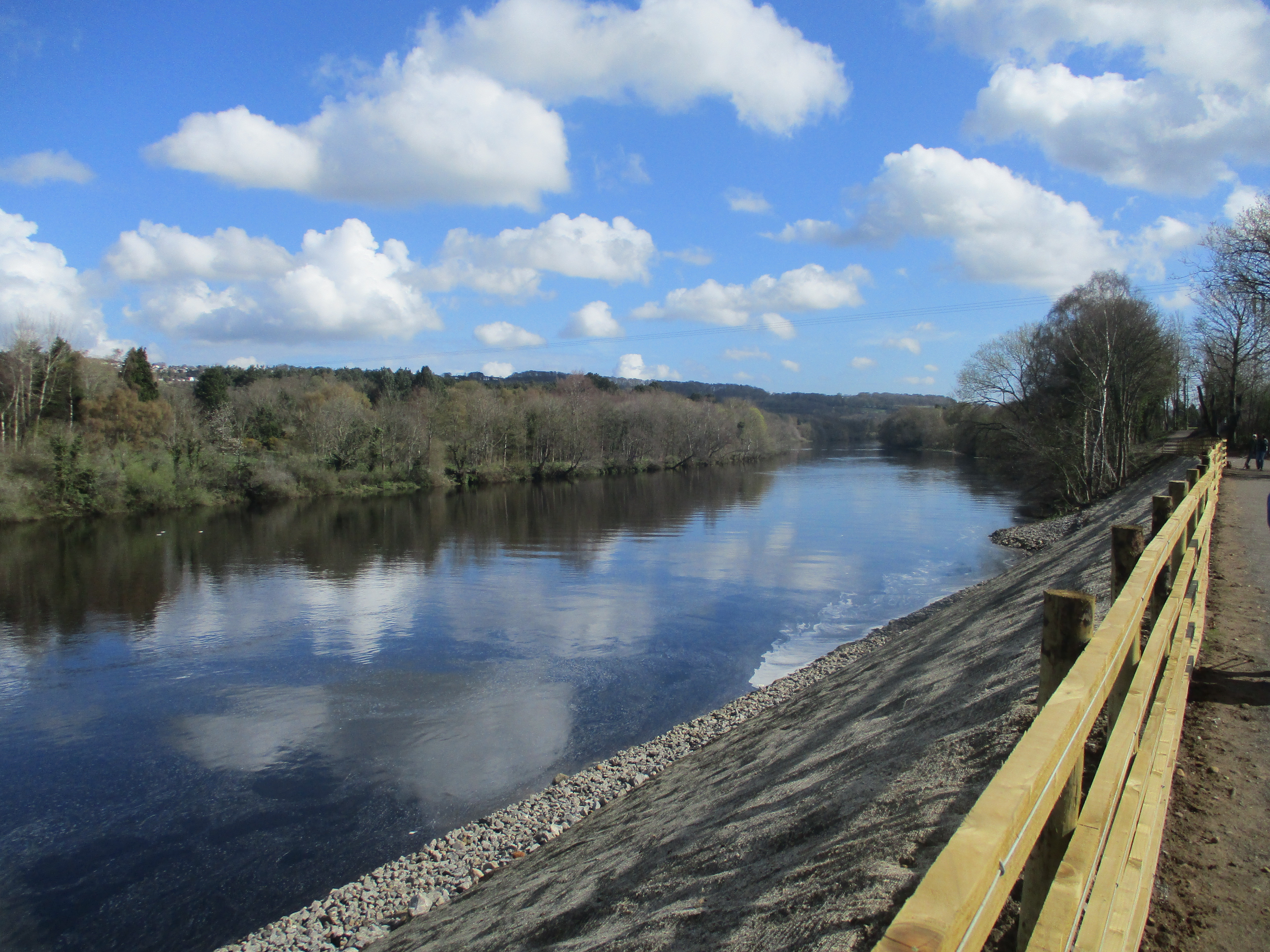
                    The Tyne from Wylam Bridge.

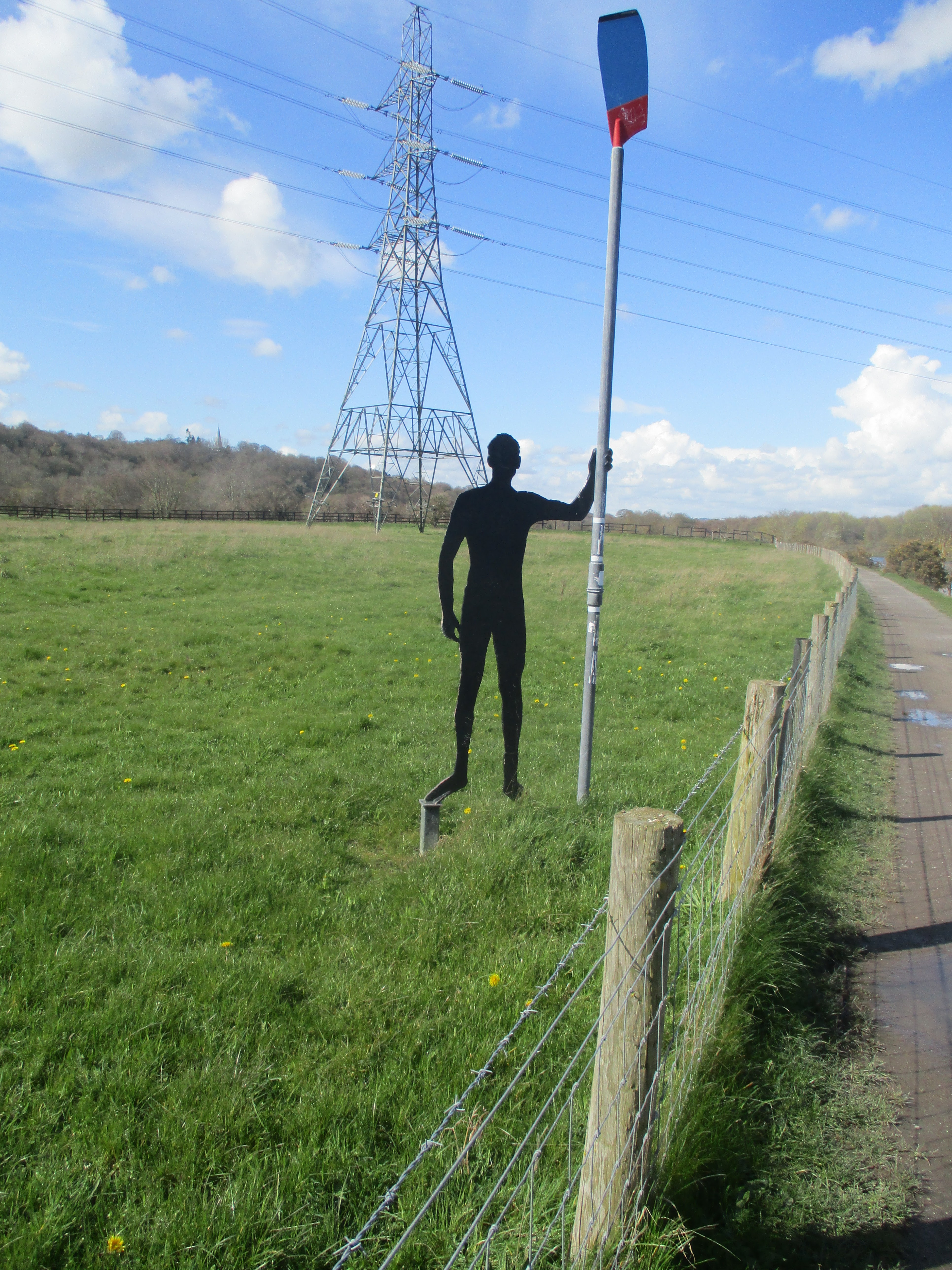
The footpath runs along the river bank. It has recently reopened after closure because of a land slip. The path is close to the Newcastle Carlisle Railway line and goes round the edge of Ryton Golf Course. One section is fenced off, for years the area smoked and smelled of sulphur, supposedly from underground mine workings but today not a hint of smoke. After two and a half miles the path is close to Ryton Willows, nature reserve. There are several rowing club headquarters buildings here on both sides of the river and there were several boats out, some with two rowers, some four and at least one with an eight, plus a mini landing craft with coaches shouting orders.


                         The Tyne boatmen.

After three miles and a bit we came to Newburn Bridge, a single track, light controlled crossing, and we crossed.


                                 Newburn Bridge. (Newburn was the site of one of the early Civil War battles in 1640. The Scots won.)

Once across the river we also crossed the main village street and climbed the steps to the War Memorial. From there we followed a footpath over a small hill, past Newburn Primary School and joined a track through some well defended allotments. The track gave way to paths through Walbottle Dene and we continued gently uphill through the woods which had a healthy looking crop of wild garlic. A walker told us there were deer in the woods but we saw none.


Walbottle Dene, compares well with Jesmond Dene.

As we almost reached the A69 we crossed a footbridge and headed up a staircase of sorts to a picnic bench at the edge of Throckley. (mile 5) Of course it made a Herbie Spot.  We shared Whips, mini malt loaves and savoury and sweet cake that Mrs A had kindly sent.

Lunch over we headed through the estate to the main village road which was probably the main Newcastle to Carlisle road before the A69 was built. Crossing a roundabout we took a footpath between an off licence and a betting shop. The path was generously littered with broken glass and discarded drinks cans. We kept on downhill  past The Leazes (mile 6) until we reached the Tyne Riverside Park.

Heading west on a track that became a narrow but flat footpath we eventually came to Station Road. Turning right we walked, slowly in some cases, uphill to Heddon on the Wall.

                        Station Road, the hill seemed to go on for ever.

The path through Heddon is tricky, turning second left we threaded through an estate until we came to Heddon Banks Farm. From here we followed the road to Close House.

Close House is a grand golf course with a modern looking club house and restaurant. We decided the restaurant would not be too keen on five pairs of muddy boots.


                Close House art work and restaurant.

We followed a well marked path through the woods near the restaurant, walked the edge of the golf course and emerged on the Hadrian's Wall Path close to Stephenson's cottage and walked back to the cars,

                      Hobbit home in Close House
              There were six deer in the field

Stephenson's cottage. ( George Stephenson was a railway pioneer. In their spare time the family built lighthouses)


Contains OS data, copyright. Crown copyright and database right 2023

The walk is just over 10 miles, easy going apart from that hill.

*Keelmen rowed boats full of coal out to ships in the river.


Saturday, 8 April 2023

A good walk on a Friday

 A good walk on a Friday. (Northumberland)

April 7th.

The weather girl on local TV said it would be cold with a breeze coming off the North Sea. She was right, it was cold, grey and breezy, so we went to the coast.

Today's walk starts and finishes in Boulmer, a tiny village on the coast a few miles north of Alnmouth.

To get there follow the Northumberland Coast Route to Longhoughton. As you reach the village turn right at the sign post which says "RAF Boulmer, Main Site." Drive past the RAF base, which has a Phantom jet parked at the entrance, and continue to Boulmer.

There are five of us: Harry, John, Brian, Margaret and me. Some called in at Bertrams cafe in Warkworth, some didn't.

A map is useful for the country section: OS Explorer 332 Alnwick and Amble

.There is a small but free car park in Boulmer overlooking the sea and if full there is usually space on the road.

Boulmer. Hope this gets your approval Lucy. (Boulmer comes from Old English : boulan mere or bulls mere, possibly due to the shallow rock pools)
 Booted and coated we set off south. The England Coast Route goes through the dunes but we opted to walk on the beach, the sand was firm and the rocky Marmouth Scars were easy walking. We stayed on the beach to Alnmouth Bay. The beach was busy with families building sand castles, flying kites and generally having fun, it was a bank holiday.
A newly installed ramp led us off the beach to the Alnmouth Golf Club House. (Mile 3)
                           On the beach.
We walked up the street to a roundabout and continued north uphill to a finger post opposite the cemetery. A footpath took us down to the fields on the banks of the River Aln but we did stop to admire the view.

The meandering Aln. Photo by Harry.
Soon we were in Lesbury and decided to make use of a picnic table close to the river for a Herbie (about 4.5 miles)

We were joined by a pair of ducks who ate well from our offerings. We shared  Mini malt loaves, chocolate whip bars and cake and savoury from Mrs A.
Lunch over we walked into Lesbury. (Old English laece burg;  the physician's (leech) manor)
Lesbury has a 13th century church, with later additions.

St Mary's church, Lesbury, mostly 13th but some possibly 12th century.
We walked along the village street to a roundabout. Close by is a modern bridge which looks completely out of place. We headed north on the road, which was quite busy, until we went under a railway line. Turning right almost immediately we followed the road past the old station. Close to "Lookout" on the map we took to the footpath on the left and walked uphill across fields until we reached a track(mile 6 ).
At this point Harry and I were deep in philosophical conversation and were well behind the others. Thanks to smart phones: Brian called advised us to turn round and take the path on the left that we had missed. (Path on the right for them of course but as we had walked on it was on the left.)
This path took us around a tumble down building and down to a railway bridge. Through the bridge we went, turned left and walked some distance  alongside the line (Main East Coast Line) before crossing a field to a gate just outside Longhoughton.


 St Peter and St Paul in Longhoughton (Homestead on the heugh in Old English)

In the village we stopped at the Running Fox cafe for coffee and cake. (mile 8)Then we set off on the final stretch along the road through the farm and cottages at Low Steads to the beach at Howdiemont Sands. Back on the Coast Path we headed south back to Boulmer, passing on our way several pieces of art work on the farm walls.


                     Changed we headed for the Widdrington Inn which was very busy as it was a holiday. It did serve Timothy Taylor's Landlord though.

Contains OS data, copyright. Crown copyright and database right 2023.
This walk is just under 11 miles, easy going.


Saturday, 1 April 2023

From Anna's promontory to Vuderintuna

 From Anna's promontory to Vuderintuna (Northumberland) March 31st.

The forecast suggests a cold breeze off the North Sea, drizzle and showers so five of us have chosen a well worn gadgie track from Amble, a small port on the Northumbrian coast to  Widdrington, a small village near the Northumberland coast. 

A welcome back to Brian and Margaret who have been holidaying for several weeks, joining John C., John H. and me today. 

This is a linear walk along the England Coast Path so requires a bit of planning with cars or a bus trip, which was our choice.

The walk can easily be done without a map but should you insist you need:

OS Explorer 332 Alnwick and Amble and OS Explorer 325 Morpeth and Blyth. 

Initially we drove to Widdrington, first recorded in 1160 as Vinderintuna Old English for the settlement of  Wuduhere's people, booted up and caught the bus to Amble. The bus goes between Newcastle and Alnwick each half hour, but check times if you decide to use it. And all being old we have bus passes.

                           Parked in Widdrington. (Yes we closed the doors)
                Holy Trinity. Widdrington. 13th century origins.
We got off the bus on Amble main street, the shelter had some great art work.
,

makes a change from Liam was here.

Amble is first recorded in 1206, the name comes from Anna's Promontory apparently.
(Short form of Annabelle)

Coquet Island, a nature reserve. The first keeper of the lighthouse was Grace Darling's brother.

 We walked down the street towards the cemetery, where there is parking should you decide to use cars. From here we joined the England Coast Path, passing Wellhaugh Point just before mile 1 and continuing on the track through the dunes to Low Hauxley.

                                                                                                                                                            Shortly after this small settlement we turned right into the nature reserve at Low Hauxley for a cup of coffee in the visitor centre. Well worth avisit for the wild life, particularly the birds and also for some unusual art work.
                      Art at Hauxley: a bird nesting tower
                A host of golden daffodils, it was cloudy day, not so much as a lonely one

                           Art work: a murmuration.
Coffee downed we returned to the Coast Path and walked the road rather than going down onto the beach and trudging across soft sand. This section is also the Northumberland Coast Path.
Shortly after mile 5 we took the footpath into the Druridge Bay Country Park, found a suitable bench overlooking the water and settled down to a Herbie.
                     View over the water from the Herbie spot: mini malt loaf, whip bars and sweet and savoury from Mrs A.
Back on the track after lunch we continued along the edge of Druridge Bay until we spotted the finger post at mile 7 which sent us in the direction of Widdrington. The path passes several ponds, with several hides and we saw shovellers, potchards, geese, swans tufted ducks and teals. 
There are several ponds in the area, we decided some could be a result of open cast mining but we are not sure. 
The footpath took us west across wet fields to the ruin at Low Chibburn.
From 1313 to 1540 Low Chibburn was a preceptory of the Knights Templars. Closed in 1540 after the dissolution it later became a Dower House for the widow of the Widdrington estate. In 1691 an unpleasant Frenchman landed in a sulk and razed it, having failed in his raid on Tynemouth. During WW2 it was an observation post.
Beyond the ruin a firm track took us back to the cars. A short distance away we visited the Widdrington Arms which served Timothy Taylor's Landlord from Keighley. A fine Yorkshire Ale, so fine I needed another.
Contains OS data, copyright. Crown copyright and database right 2023
The walk is about 8.5 easy going miles