Back to the camp of the crows. (Northumberland)
November 8th
The weather can dictate a walk in winter and the last few days have been wet, with a suggestion from the forecast that nothing much will change. Today eight of us are going for a coastal walk, so familiar we don't need a map but after last week we'll carry one just in case.
Starting from Craster the walk is covered by;
OS Explorer 332 Alnwick and Amble and OS Explorer 340 Holy Island and Bamburgh
To get to Craster A1 north, turn right at Alnwick and follow signs. The main car park, in a long disused quarry is on the right as you get to the village. Not free but reasonable.
And then we changed our minds and went to Haltwhistle. The weather had changed, the coast would be wet, inland would be dry. To get to Haltwhistle take the A69 west and turn off for the town.
We decided to have breakfast at Brockbushes Farm Shop and café on the A69. When we got there it was packed with people taking part in a trade fair, no room at the café. We decided to go on to Hexham, a little further west but there was a long traffic tailback into the town. We decided to go on to Haltwhistle where we found a small café with a helpful lady happy to discuss walks in the area. We decided to go to Slaggyford, (Old English; a muddy ford, and well named) a tiny village up the south Tyne valley, use a road map or satnav. (Without mobile phones chopping and changing would have been difficult)
Finally, about 12 noon we started the walk which is covered by OS Explorer 43 Hadrian's Wall.
There is a station at Slaggyford on the narrow gauge South Tyneside Railway and next to it is a small but free car park. probably full in summer but empty today.
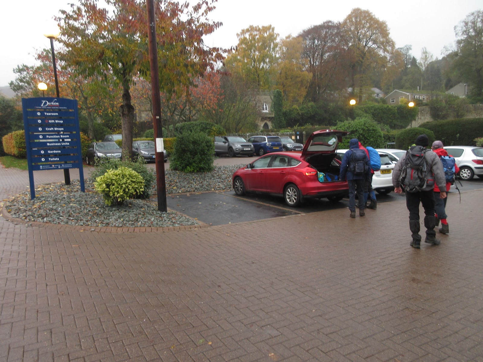
 Preparing for the walk in Slaggyford station car park.
Leaving the car park, crossing the line, we walked downhill to the Yew Tree Chapel which seems to be a bnb now. Just beyond, pointing to the left is a sign post for the Pennine Way, longest walk in England and Scotland (just). Originally suggested by journalist band walker Tom Stephenson in 1935 it is a popular walk but we were on it for a few miles only. It's easy to follow, it has what look like little milestones in this area, marked "PW".
 Yew Tree Chapel, Slaggyford.
The footpath is parallel to the Tyne Trail, crosses fields, muddy after all the recent rain, and then,having diverged from the Pennine Way, dips down through a wood and crosses the Knar Burn by means of a footbridge.
 Footbridge near to railway bridge .
We then left the old railway altogether and crossed muddy bfields with lots of stone stiles, passing close to at least one farmhouse until we reached a heavily metalled track and turned just south of west to follow it. Very straight it could have been Roman and we walked along it for abouth three wuarters of a mile before turning left onto another similar track that went south to Hanging Shaw Farm. Here we made a slight error and continued walking south west until the path vanished. A Scotsman, out shooting rabbits was equally ignorant of a path so we turned back to Hanging Shaw Farm, spotted a public footpath marker and followed the trail down to Knar and a bridge crossing the Knar Burn.
 The bridge over the Knar Burn.It provided shelter for some.
 Those of us unable to get under the bridge sat against a wall for a Herbie.
We shared meringues, chocolate biscuits, savouries from Mrs A., biscuits, ginger biscuits and frangipanes. Is this getting out of hand? No.
Lunch over we followed the road uphill to Longdyke Head. Hidden on the right a sign post showed us the way across muddy fields and stiles to Bertram Hill Farm.
 There is a direct correlation between age and the ability to cross stone walls by stile.
From here the path crossed more muddy fields to Thornhopeburn bridge where we joined the footpath alongside the South Tynedale Railway and walked back to Slaggyford.
On the way home we went to the Boathouse in Wylam, famous for its selection of beers, usually at least twelve hand pulled ales, mostly from local breweries. The Boathouse Challenge has never been taken up by us; a half pint at least from each pump. Once upon a time...…………..
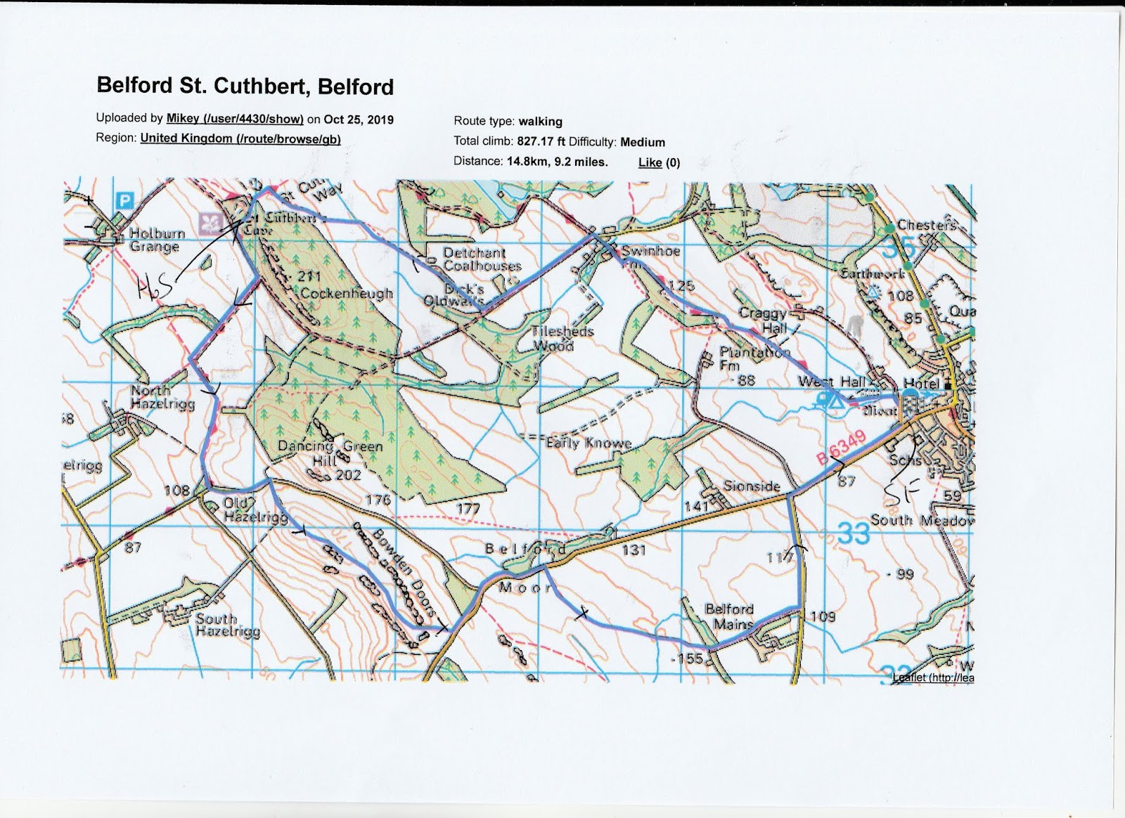
 Contains OS data, copyright. Crown copyright and database right 2019.
This walk is about b7.5 miles long and is muddy.


November 8th
The weather can dictate a walk in winter and the last few days have been wet, with a suggestion from the forecast that nothing much will change. Today eight of us are going for a coastal walk, so familiar we don't need a map but after last week we'll carry one just in case.
Starting from Craster the walk is covered by;
OS Explorer 332 Alnwick and Amble and OS Explorer 340 Holy Island and Bamburgh
To get to Craster A1 north, turn right at Alnwick and follow signs. The main car park, in a long disused quarry is on the right as you get to the village. Not free but reasonable.
And then we changed our minds and went to Haltwhistle. The weather had changed, the coast would be wet, inland would be dry. To get to Haltwhistle take the A69 west and turn off for the town.
We decided to have breakfast at Brockbushes Farm Shop and café on the A69. When we got there it was packed with people taking part in a trade fair, no room at the café. We decided to go on to Hexham, a little further west but there was a long traffic tailback into the town. We decided to go on to Haltwhistle where we found a small café with a helpful lady happy to discuss walks in the area. We decided to go to Slaggyford, (Old English; a muddy ford, and well named) a tiny village up the south Tyne valley, use a road map or satnav. (Without mobile phones chopping and changing would have been difficult)
Finally, about 12 noon we started the walk which is covered by OS Explorer 43 Hadrian's Wall.
There is a station at Slaggyford on the narrow gauge South Tyneside Railway and next to it is a small but free car park. probably full in summer but empty today.

Leaving the car park, crossing the line, we walked downhill to the Yew Tree Chapel which seems to be a bnb now. Just beyond, pointing to the left is a sign post for the Pennine Way, longest walk in England and Scotland (just). Originally suggested by journalist band walker Tom Stephenson in 1935 it is a popular walk but we were on it for a few miles only. It's easy to follow, it has what look like little milestones in this area, marked "PW".

The footpath is parallel to the Tyne Trail, crosses fields, muddy after all the recent rain, and then,having diverged from the Pennine Way, dips down through a wood and crosses the Knar Burn by means of a footbridge.

We then left the old railway altogether and crossed muddy bfields with lots of stone stiles, passing close to at least one farmhouse until we reached a heavily metalled track and turned just south of west to follow it. Very straight it could have been Roman and we walked along it for abouth three wuarters of a mile before turning left onto another similar track that went south to Hanging Shaw Farm. Here we made a slight error and continued walking south west until the path vanished. A Scotsman, out shooting rabbits was equally ignorant of a path so we turned back to Hanging Shaw Farm, spotted a public footpath marker and followed the trail down to Knar and a bridge crossing the Knar Burn.


We shared meringues, chocolate biscuits, savouries from Mrs A., biscuits, ginger biscuits and frangipanes. Is this getting out of hand? No.
Lunch over we followed the road uphill to Longdyke Head. Hidden on the right a sign post showed us the way across muddy fields and stiles to Bertram Hill Farm.

From here the path crossed more muddy fields to Thornhopeburn bridge where we joined the footpath alongside the South Tynedale Railway and walked back to Slaggyford.
On the way home we went to the Boathouse in Wylam, famous for its selection of beers, usually at least twelve hand pulled ales, mostly from local breweries. The Boathouse Challenge has never been taken up by us; a half pint at least from each pump. Once upon a time...…………..

This walk is about b7.5 miles long and is muddy.