Wark is a four gadgie walk. (Northumberland) Sept6th
Still not a full turnout because of holidays and family commitments, four of us are having a walk from Wark in the North Tyne Valley. Easy to find, head west on the A69 past Hexham and turn right for Acomb. Drive through Acomb and Wall to Chollerford and take the second exit at the roundabout and head north for Wark. There is parking opposite the village pub, Battlesteads,
which also goes in for star gazing, don't we all. As with the best walks it is covered by two maps:
OS OL Explorer 43 Hadrian's Wall and OS OL Explorer 42 Kielder Water and Forest.
On the way we stopped at Brockbushes farm shop and restaurant for breakfast. It also has a van where you can learn the art of sausage making.
 Learn to make sausages
 Admire an ancient tractor like my uncle had
 Or have something to eat and drink.
 Limited parking in Wark, but free.
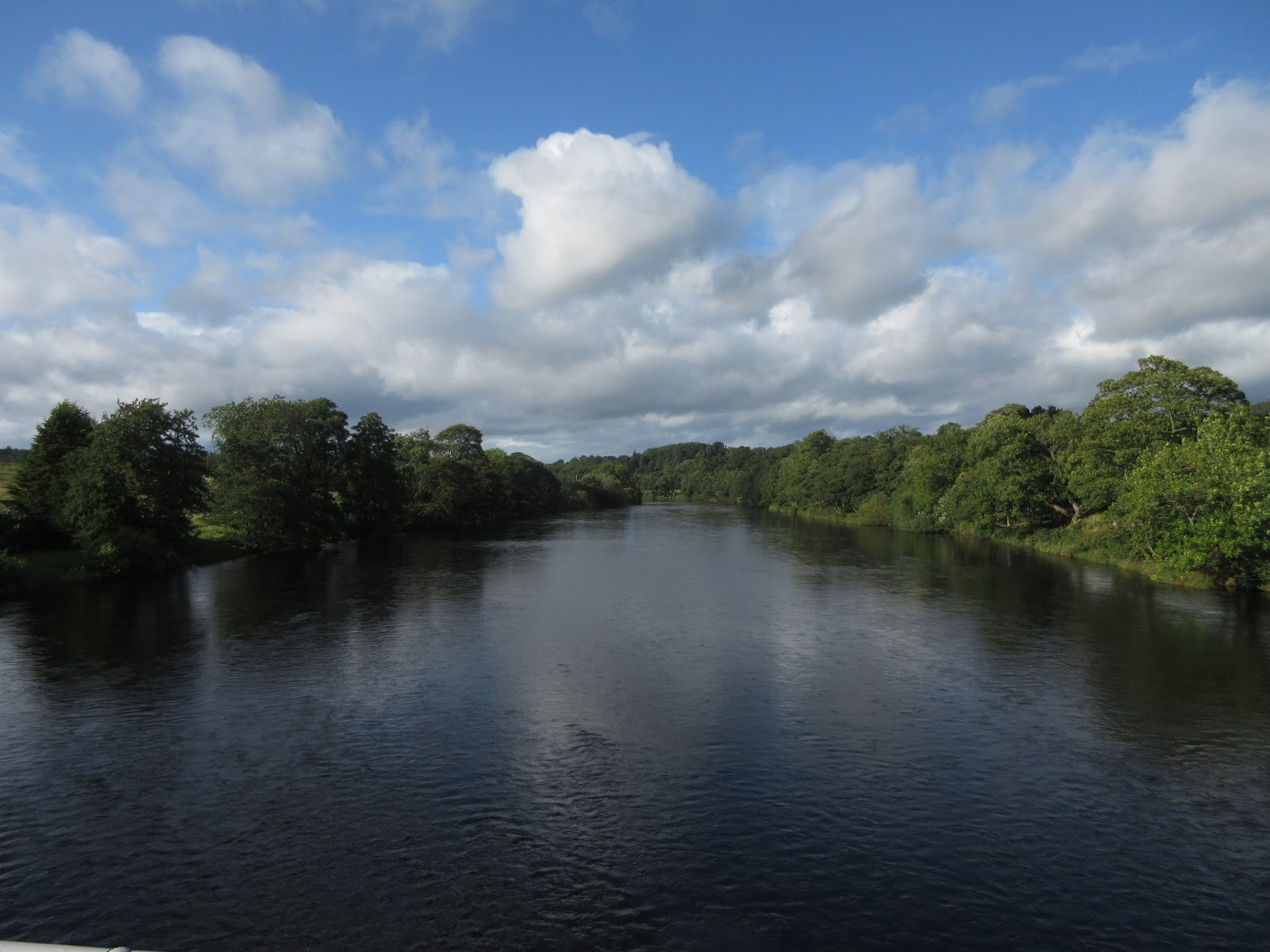
Once changed into boots we set off down the village street, past the village green and over the bridge which crosses the North Tyne. Plenty of water in the river today.
 The waters of Tyne.
Once across the bridge we turned left and walked the path alongside the river, partly wooded it was pleasant, and out of the wind too. We stuck close to the river, following the well posted route until we were directed away from the water towards Low Carry House.
 Daft as a Brush is a charity that helps cancer patients. They have devised walks close to the North Tyne, the South Tyne and after the confluence, the Tyne, all the way to the mouth. Part of our walk is on one of theirs. They have a guide book describing the walks.
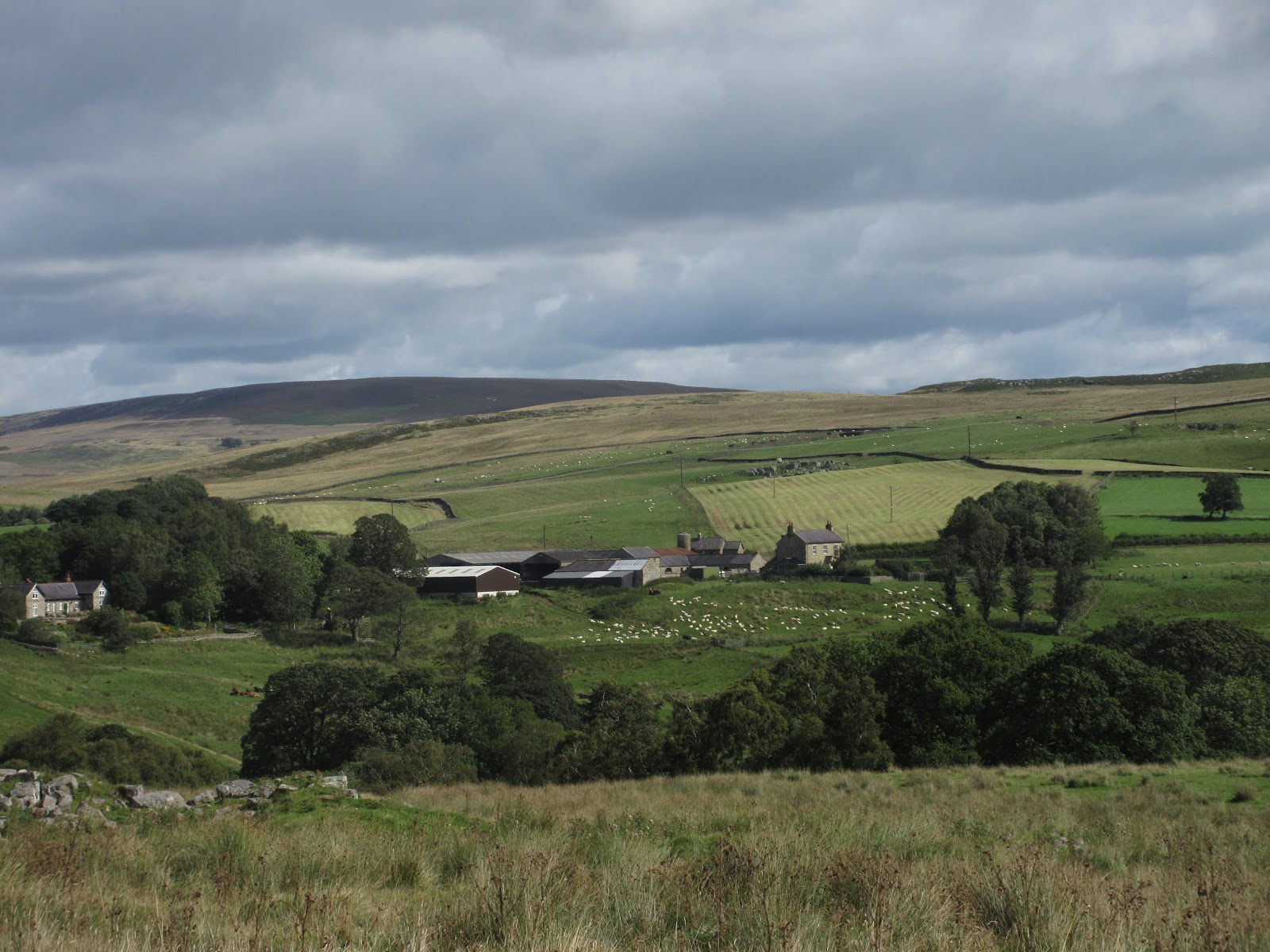
Beyond the farm we followed a metalled road for a distance before following a footpath across fields to the remains of a bastle and barn.
 Bastle ruin on the left.
And from the ruined farm buildings we crossed fields before reaching Countess Park, close to the river again.
 Ticks are on the increase, possibly as a result of climate change. They come from deer and maybe sheep. Lymes disease is very unpleasant, don't wear shorts and t shirts!
At one point in the park we came across a fine looking wooden building and as there were a couple of benches outside and nobody around we called a Herbie.
 Today's feast included flapjacks, French fancies (Mr Kipling), frangipanes and chocolate cake from Mrs A
 Could be in Canada, no bears or moose though
 Raised on stones, no rotting and no flooding.
Having feasted we walked on, soon joining the dismantled railway at Redesmouth station and then, in the village crossing the road and taking the track to Rede Bridge.
 Once it was the Redesmouth station
At Crossings Cottage we took the right fork and headed South East to Buteland.

 Crossing Cottage and topiary.
Buteland farm supports outdoor art and also has accommodation of the type supposedly popular with one of our ex prime ministers.
 For the want of a shoe..................
 Caravans at Buteland
 Close up of the horse.
At Buteland we turned east across a field to a minor road, turned right and on the first corner crossed a stile which was in the centre of a bed of nettles and walked south east over boggy fields with Lauder Grass until we hit the track to Lowshield Green Farm
We followed the track for some distance before turning into a field close to the Holywell Burn. If you follow this walk, the path we took goes alongside a wall originally and not across the field, otherwise you miss the Holy Well which is marked on the OS map as a waterfall.
 Brian and I, heathens, did not visit it but John and Dave did. They emerged, wreathed in white and haloed.
The road past the well took us into Birtley, a very pretty Northumbrian village, unknown to us.At the south end of the street is the village church St Giles, dating back to Norman times but with much 19th century renovation. Across the road from the church is a footpath which goes alongside a wood, across fields and joins a road above Wark.
 St Giles, Birtley
Changed we went for a drink in the Battlesteads Hotel, restaurant and bar. They had the following on offer, plus soda and lime for the driver.
 Second left is Tyneside Blonde, always reliable.


Contains OS data, copyright. Crown copyright and database right 2019
The walk is approximately 13 miles of woodland, riverside and rough grassland.
And a few more pictures.


Still not a full turnout because of holidays and family commitments, four of us are having a walk from Wark in the North Tyne Valley. Easy to find, head west on the A69 past Hexham and turn right for Acomb. Drive through Acomb and Wall to Chollerford and take the second exit at the roundabout and head north for Wark. There is parking opposite the village pub, Battlesteads,
which also goes in for star gazing, don't we all. As with the best walks it is covered by two maps:
OS OL Explorer 43 Hadrian's Wall and OS OL Explorer 42 Kielder Water and Forest.
On the way we stopped at Brockbushes farm shop and restaurant for breakfast. It also has a van where you can learn the art of sausage making.


Once changed into boots we set off down the village street, past the village green and over the bridge which crosses the North Tyne. Plenty of water in the river today.

Once across the bridge we turned left and walked the path alongside the river, partly wooded it was pleasant, and out of the wind too. We stuck close to the river, following the well posted route until we were directed away from the water towards Low Carry House.

Beyond the farm we followed a metalled road for a distance before following a footpath across fields to the remains of a bastle and barn.

And from the ruined farm buildings we crossed fields before reaching Countess Park, close to the river again.

At one point in the park we came across a fine looking wooden building and as there were a couple of benches outside and nobody around we called a Herbie.


Having feasted we walked on, soon joining the dismantled railway at Redesmouth station and then, in the village crossing the road and taking the track to Rede Bridge.

At Crossings Cottage we took the right fork and headed South East to Buteland.


Buteland farm supports outdoor art and also has accommodation of the type supposedly popular with one of our ex prime ministers.

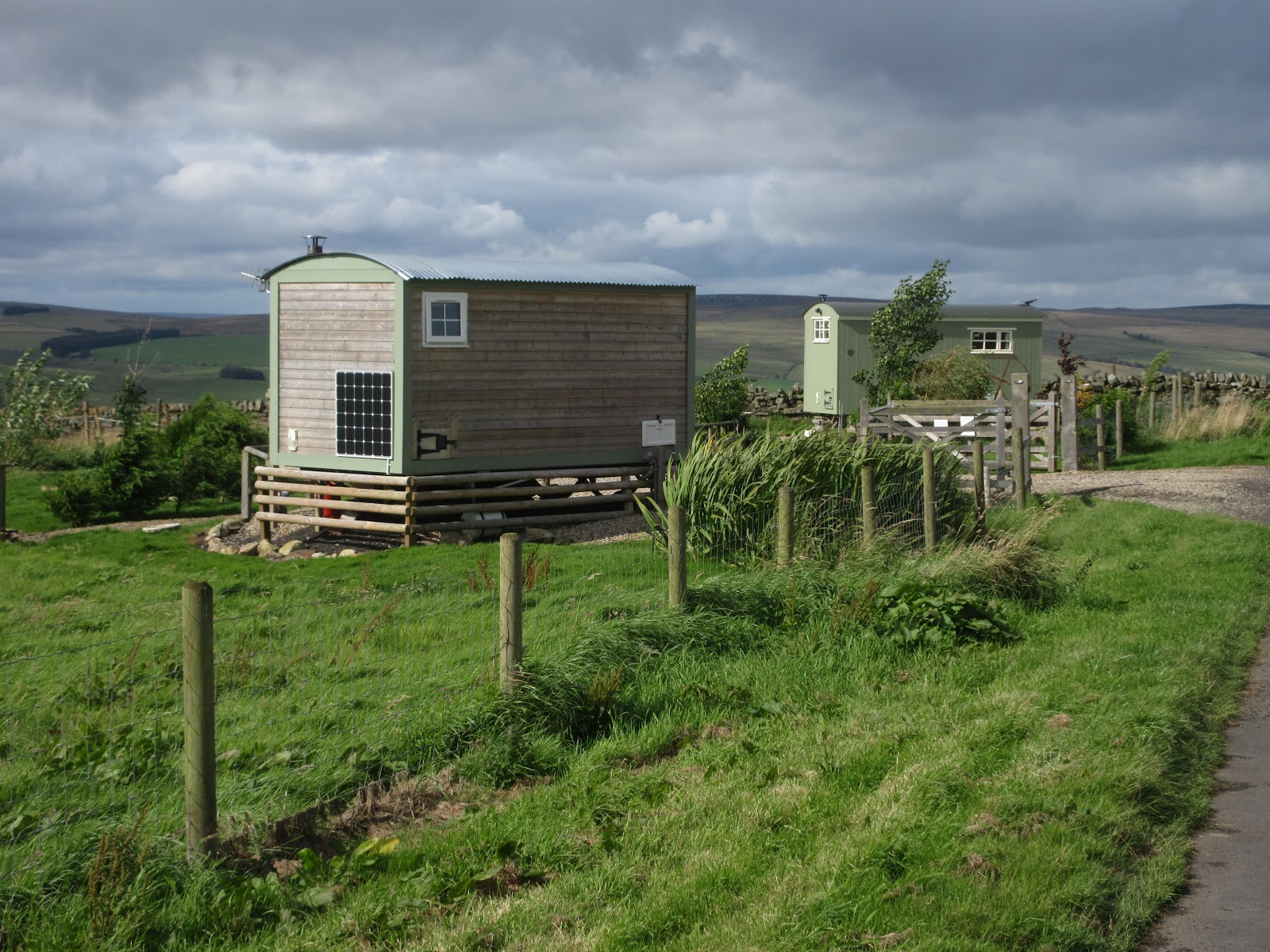

At Buteland we turned east across a field to a minor road, turned right and on the first corner crossed a stile which was in the centre of a bed of nettles and walked south east over boggy fields with Lauder Grass until we hit the track to Lowshield Green Farm
We followed the track for some distance before turning into a field close to the Holywell Burn. If you follow this walk, the path we took goes alongside a wall originally and not across the field, otherwise you miss the Holy Well which is marked on the OS map as a waterfall.

The road past the well took us into Birtley, a very pretty Northumbrian village, unknown to us.At the south end of the street is the village church St Giles, dating back to Norman times but with much 19th century renovation. Across the road from the church is a footpath which goes alongside a wood, across fields and joins a road above Wark.

Changed we went for a drink in the Battlesteads Hotel, restaurant and bar. They had the following on offer, plus soda and lime for the driver.


Contains OS data, copyright. Crown copyright and database right 2019
The walk is approximately 13 miles of woodland, riverside and rough grassland.
And a few more pictures.