It's been a very dry September...... October 3rd.
Or so the weather people say. England, at least at this end has had only 20% of its normal ration, but there have been floods in parts of the south.
But the jovial jock on BBC Look North said the Lakes and the Cheviots could be wet and windy today so five of us are setting off to Weardale which is supposedly dry. (Dave, Ray, John H, Ben and me)
The walk starts in Stanhope. Stanhope has a very nice Information Centre (The Durham Dales Centre) and tea room which makes a good meeting place as we require two cars. Amazingly nobody had a bacon sandwich just a cup of tea or coffee, must be the absence of Brian the ankle)
Stanhope is a small market town with a very large parish. St. Thomas's church has 12thC origins, the heritage Weardale railway ends here and one of its sons, William Crozier became editor of the Manchester Guardian. It also has an18th C castle, a petrified tree and an outdoor heated swimming pool! Stanhope means "stony valley".
The map to use is OS OL 307 Consett and Derwent Reservoir. The five star car park is at NY995393.
 Five star car park with bays for workers in the centre shops, the police, short stay and long stay.
And free, proper Yorkshireman's carpark.
Leaving the car park we turned left onto the high street, crossed the road, walked past the Pack Horse Inn and turned down towards the river to join the Weardale Way on the north bank. (Do not cross the river at the stepping stones to follow our route.)
 A large pond, not the heated swimming pool

River Wear, low because of the lack of rain this September.
The path crosses the Weardale Heritage Railway and continues close to the river. It is not the best of paths, stony and tussocky but eventually leads to a caravan park and short stretch of road into Eastgate. Eastgate was the eastern limit of the Prince Bishop's hunting area in ancient times. In even more ancient times a Roman soldier from Lanchester (Longovicium) killed a boar in the area and left an altar to the god of the woods as a thank you. A copy of the altar stone is next to the bus stop, the real one is in the British Museum.*
 Marcus Aurelius (no not that one) had this altar made

Info board.
At the bus stop a track heads north before turning north west, passing a farm and becoming a footpath, still the Weardale Way.It runs parallel to the Rookhope Burn, at times it disappears in undergrowth, it is perfectly safe for dwarfs as there are some low hanging branches but for upstanding gadgies there is a considerable amount of ducking required. At one point a yellow marker points across the river but only Dave followed it. the rest of us walked a short distance uphill to spot a gate leading to quite a decent path past some old mine works to a footbridge and stile.
 Pretty Rookhope Burn
 A Weardale Way marker, not the plain yellow one Dave mistakenly
followed.
 Best stile for a while! The marker is on the post.
When we reached the stile we noticed that the marker for the Weardale Way pointed left, correctly, but we turned right along the road that led to Rookhope. As we passed Church House farm a sparrow hawk flew low down the stream, bird of the blog.

We spotted a couple of benches in the village and declared a Herbie Spot. Sandwiches, Ben's biscuits, Bakewell tart, chocolate hobnobs and Sainsbury's chocolate. Hard to get going again after all that.
Rookhope is on the Coast to Coast cycle route and in the centre of the village a bright blue C2C sign pointed us uphill on Boltslaw Incline. The remnants of a 19th century mining system it kept us going uphill for at least a steep mile until we came to the ruins of the mine.
 A sign post at the foot of Boltslaw
 The Bolt's Law winding engine. In this area, iron ore, lead and limestone were mined.

 All that remains of the winding shed. Dave
wished he had been the brakeman on trucks
going downhill, there was always the hope of
a pint in the pub at the bottom.
From this point the old railway line curves in a huge arc across the moors back to Stanhope. The wind, which was quite strong, was at our backs, the cloud was low and there was some dampness in the air so we didn't hang around admiring the wide views, but soldiered on, past a line of shooting butts, across the road up Crawley Bank to the tea room at the old Parkhead Station.
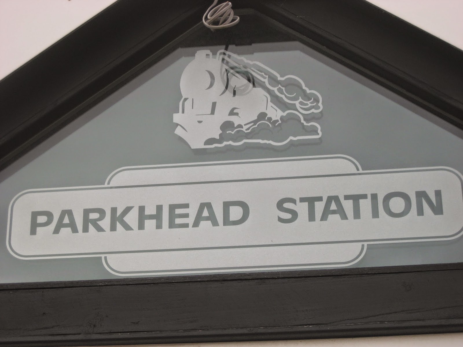 Parkhead tea rooms on the C2C
Here we joined another old railway line, now known as the Waskerley way. It goes from Stanhope to Consett and also had winding engines for the steep bits. (See "The Magical Waskerley Way, Oct 2012)
 I think this must have something to do with bikes.
From here the railway heads south and downhill, just what you need at the end of a long walk. As it nears Stanhope it goes through Ashes Mine. Up to the 1940s this mine produced limestone for local ironworks. It has left a long and strange looking area of spoil heaps, as Dave said, a young geologist could be fooled into having found a field of morraines!
 Ashes Mine spoil heaps
 Limestone was hauled to Consett for the iron works.
 St. Thomas' church. It has Saxon origins.
 and a petrified tree.
 Durham Dales Centre.
Changed we headed for the nearest pub, The Bonny Moorhouse in Stanhope which had Bitter and Twisted and Coast to Coast. Landlord, sadly, was off.
The Matrix MMXIV R
A good week for pedometers, I have a new one which is a wrist worn pretty pink affair. (It's a long story but my wife thinks it brings out my feminine side.)
steps miles
LIDL3D 35327 16.1
ASDA BLUE 32780 15.4
Pretty Pink 28940 13.7 (But I forgot to switch on at the start)
Dave's LIDL3D 31143 14.32
Dave's USB 30446 13.93
My GPS 13.6
Ray's GPS 13.7
Ben's is at the menders.
Gadgie distance 343

 Sparrowhawk
* I had forgotten the exact location, it's my age. I googled it and was sent to a blog called "Northern Pies" written by a certain Mike Knipe. Great blog, lots of walks and well worth a read but he doesn't have a logo.

An after thought. I keep getting Ukrainian readers. Interesting I thought they would have too much to worry about at the moment.
Or so the weather people say. England, at least at this end has had only 20% of its normal ration, but there have been floods in parts of the south.
But the jovial jock on BBC Look North said the Lakes and the Cheviots could be wet and windy today so five of us are setting off to Weardale which is supposedly dry. (Dave, Ray, John H, Ben and me)
The walk starts in Stanhope. Stanhope has a very nice Information Centre (The Durham Dales Centre) and tea room which makes a good meeting place as we require two cars. Amazingly nobody had a bacon sandwich just a cup of tea or coffee, must be the absence of Brian the ankle)
Stanhope is a small market town with a very large parish. St. Thomas's church has 12thC origins, the heritage Weardale railway ends here and one of its sons, William Crozier became editor of the Manchester Guardian. It also has an18th C castle, a petrified tree and an outdoor heated swimming pool! Stanhope means "stony valley".
The map to use is OS OL 307 Consett and Derwent Reservoir. The five star car park is at NY995393.
And free, proper Yorkshireman's carpark.
Leaving the car park we turned left onto the high street, crossed the road, walked past the Pack Horse Inn and turned down towards the river to join the Weardale Way on the north bank. (Do not cross the river at the stepping stones to follow our route.)
River Wear, low because of the lack of rain this September.
The path crosses the Weardale Heritage Railway and continues close to the river. It is not the best of paths, stony and tussocky but eventually leads to a caravan park and short stretch of road into Eastgate. Eastgate was the eastern limit of the Prince Bishop's hunting area in ancient times. In even more ancient times a Roman soldier from Lanchester (Longovicium) killed a boar in the area and left an altar to the god of the woods as a thank you. A copy of the altar stone is next to the bus stop, the real one is in the British Museum.*
At the bus stop a track heads north before turning north west, passing a farm and becoming a footpath, still the Weardale Way.It runs parallel to the Rookhope Burn, at times it disappears in undergrowth, it is perfectly safe for dwarfs as there are some low hanging branches but for upstanding gadgies there is a considerable amount of ducking required. At one point a yellow marker points across the river but only Dave followed it. the rest of us walked a short distance uphill to spot a gate leading to quite a decent path past some old mine works to a footbridge and stile.
followed.
When we reached the stile we noticed that the marker for the Weardale Way pointed left, correctly, but we turned right along the road that led to Rookhope. As we passed Church House farm a sparrow hawk flew low down the stream, bird of the blog.
We spotted a couple of benches in the village and declared a Herbie Spot. Sandwiches, Ben's biscuits, Bakewell tart, chocolate hobnobs and Sainsbury's chocolate. Hard to get going again after all that.
Rookhope is on the Coast to Coast cycle route and in the centre of the village a bright blue C2C sign pointed us uphill on Boltslaw Incline. The remnants of a 19th century mining system it kept us going uphill for at least a steep mile until we came to the ruins of the mine.
wished he had been the brakeman on trucks
going downhill, there was always the hope of
a pint in the pub at the bottom.
From this point the old railway line curves in a huge arc across the moors back to Stanhope. The wind, which was quite strong, was at our backs, the cloud was low and there was some dampness in the air so we didn't hang around admiring the wide views, but soldiered on, past a line of shooting butts, across the road up Crawley Bank to the tea room at the old Parkhead Station.
Here we joined another old railway line, now known as the Waskerley way. It goes from Stanhope to Consett and also had winding engines for the steep bits. (See "The Magical Waskerley Way, Oct 2012)
From here the railway heads south and downhill, just what you need at the end of a long walk. As it nears Stanhope it goes through Ashes Mine. Up to the 1940s this mine produced limestone for local ironworks. It has left a long and strange looking area of spoil heaps, as Dave said, a young geologist could be fooled into having found a field of morraines!
Changed we headed for the nearest pub, The Bonny Moorhouse in Stanhope which had Bitter and Twisted and Coast to Coast. Landlord, sadly, was off.
The Matrix MMXIV R
A good week for pedometers, I have a new one which is a wrist worn pretty pink affair. (It's a long story but my wife thinks it brings out my feminine side.)
steps miles
LIDL3D 35327 16.1
ASDA BLUE 32780 15.4
Pretty Pink 28940 13.7 (But I forgot to switch on at the start)
Dave's LIDL3D 31143 14.32
Dave's USB 30446 13.93
My GPS 13.6
Ray's GPS 13.7
Ben's is at the menders.
Gadgie distance 343
* I had forgotten the exact location, it's my age. I googled it and was sent to a blog called "Northern Pies" written by a certain Mike Knipe. Great blog, lots of walks and well worth a read but he doesn't have a logo.


