Translate

Saturday, 25 May 2024

When it's wet walk from Wylam

 When it's wet, walk from Wylam May 24th.

On Wednesday it rained, all day. On Thursday it only rained for part of the day. Thinking many cross country paths would be muddy we settled for a walk on well known and firm trails from Wylam.

A69 west turn left at sign for Wylam, drive towards the station and before crossing the River Tyne turn left into the free car park.

The walk is covered by OS Explorer 316 Newcastle upon Tyne, but it is not essential.

                    Wylam car park near the Tyne.
Before the walk we enjoyed tea, coffee and bacon sandwiches in the Coffee Tree, a short walk up the road from the car park.
A team of seven: Brian, Margaret, Harry, Ian, John H., John L. and me.
Breakfast over we left the car park, crossed the river, which was fairly full after the last two days precipitation, turned into the station car park and took the footpath at the far end.

  Thye Tyne at Wylam, full and fast flowing.
The footpath follows the banks of the river for a little over three miles. On one side is Ryton Golf Course. At one point the path goes round the magic smoking ground. Occasionally small clouds of smoke appear from the ground, escaping an underground fire in an old pit. 


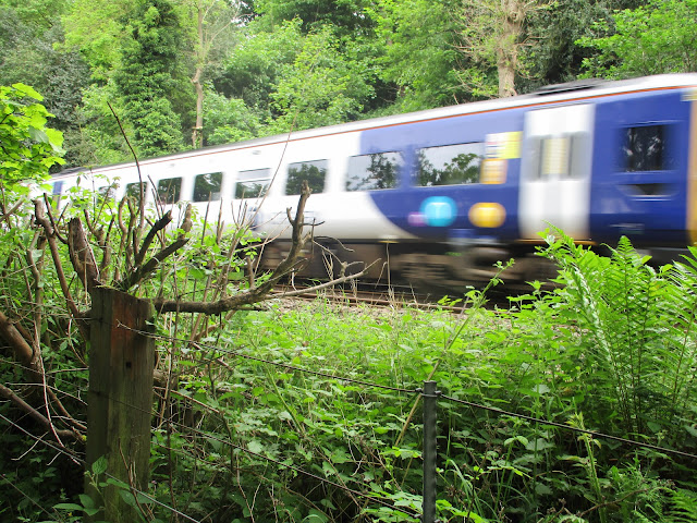
                        Some went on foot, some on horse and some on a train.
Near the Newburn Bridge there are several rowing clubs, a couple of eights were out on the river.


                       Newburn bridge an eight and a four.
Newburn is the site of the Battle of Newburn Ford where, in 1640, the Scots beat the English in a battle of the Bishop's War, the overture to the Civil War. The victorious Scots went on to capture Newcastle.
Once over the river we headed uphill to the War Memorial. Behind it a footpath climbed, but not too steeply to the top of a hill from where we had a fine view of the local primary school. It was lunch time, the children were making the most of their break.

                       Newburn Primary.. 
Just beyond the school we turned left up a lane, passing what looked like several scrap yards. Taking the right fork we entered Throckley Dene. 
              Throckley Dene. The path climbs steadily, crossing the stream several times.
We crossed a minor road and continued in the dene, eventually emerging into field, turned left and climbed steps cut into the ground to the single bench at the top. It made a reasonable but crowded Herbie Spot. (Apple pies, cookies, ginger biscuits and Mrs A's sweet and savoury offerings)
After a break we set off again cutting through the estate until we came to the old main road through Throckley. It is on  Hadrian's Wall ,not that you can tell. Finding the Coral Bookmakers we took the footpath strewn with empty lager cans down hill. It's a bit tricky finding the way through the housing estate but eventually we were on the footpath heading downhill in the direction of the river. At a minor road we turned right and about 100 yards uphill followed the signpost that took us along a narrow footpath, heavily nettled to a field.Once across the field we turned left and went down to the old wagonway/railway line, that is now a trail for walkers, cyclists and horse riders. The well made path passes the Close House Golf course and Stephenson's Cottage.

                      George Stephenson, the father of the railways lived here

Soon we were back at the car park and soon we were in the Fox and Hounds which serves TTL in fine tankards, The alcohol free Guinness is OK too.

Contains OS data, copyright. Crown copyright and database right 2024.
The walk is about 9.5 miles, mostly easy going with a couple of short climbs.




Sunday, 19 May 2024

Northumberlandia

 She's the biggest earthwork in the world, almost.

Just outside Cramlington, beyond the Snowy Owl pub is Northumberlandia. Built from rock and soil when the surrounding land was stripped for coal the earthwork, a large lady, is currently the second largest art work of its kind in the world, apparently. Beaten only by China. There are footpaths to walk round, you can climb to the top of her head and admire the view. And there is a cafe. 

Today the Green walking group is having a walk from the car park at Northumberlandia (Free!).

                               Parking at Northumberlandia

Once parked and booted our party set off through what The Times described as a forest towards the lady. There is a cafe by the forest which is actually a short strip of woodland. Once through the lady lies in all her glory.


She's a big lass and a bonny lass.

 Rather than walk round the lady we turned left and headed down a well made track across what was once an opencast mine, now filled in again and left to settle before being either a park or agricultural land. Turning right we then walked north almost to Shotton before crossing fields to the main east Coast Railway.

There is a crossing point. Visibility down the track is good but the trains are fast. No messing.
It's necessary to follow the railway fence for a while before finding the crossing and then doubling back. 
Once over the railway we were on a road that goes to the local pharmaceutical factory. We followed the road for a short distance, turned left then almost immediately right, soon finding ourselves at the A192 road which goes downhill past Hartford Hall to cross the river Blyth. It's a busy road.
Once over the river we took the path into Plessey Woods Country Park and wandered the paths to the visitor centre.
                   Totem poles, as you would expect

                    Plessey Woods Country Park visitor centre. Cafe, toilets and swings for the children.
The park was busy, quite right too on a Sunday morning. Lots of families, and dogs.
We sat at a bench under a group of chestnut trees and enjoyed a Herbie. No swapping with the Greens.
Lunch over we followed signs for the Meadow Walk and river and took the footpath high above the river. Eventually it headed for the water, went under the viaduct on the main line and we continued towards Stannington.
                       Take this path

                           Main line viaduct over the River Blyth.
At Stannington the path climbs up to the A1, busy dual carriageway but there is a footpath alongside it.
 After a short and noisy walk by the road we followed the sign for Shotton, walked through the farm and at mile 7 rejoined our original route. Soon we were back at  Northumberlandia, some went to the cafe, some the Snowy Owl Pub and some went home.

Contains OS data, copyright. Crown copyright and database right 2024
The walk is about 8.5 miles, easy going, pretty woodland makes up for the short stretches on the roads.


Saturday, 18 May 2024

Sea, sand and a fret

 Sea, sand and a fret. May 17th.

Indisposed fora couple of weeks I'm hoping for an easy walk today. Four of us, Ian, Harry, John H and I are off for a gentle stroll from Seahouses to High Newton by the Sea. But first abus ride from High Newton to Seahouses. Bus number 418 leaves High Newton at 10.48. There are not many buses in the day so make sure you get there on time! There is a free car park in High Newton, on the left as you reach the village.

 Not a car park but a bus stop. The start of the walk in Seahouses.
Off the bus we walked south away from the town. Once across the Annstead Burn we left the road and headed across the dunes to the beach.
                             The Annstead Burn.....

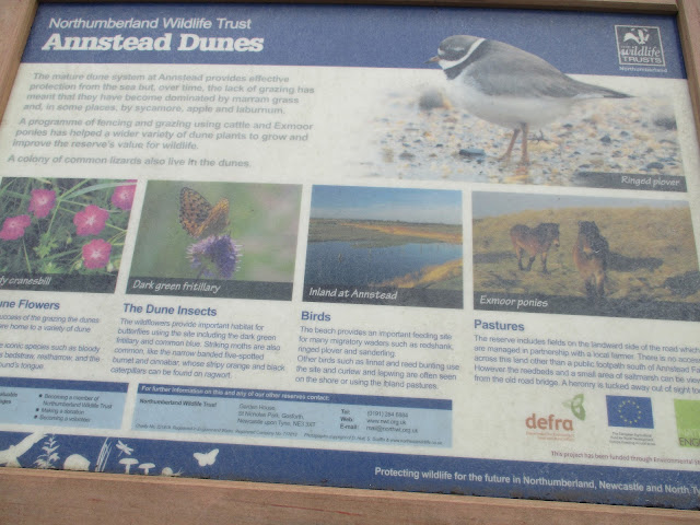
......................and Annstead Dunes information board.
We left the beach as we approached Beadnell, land of the second home, and walked the road close to the sea until we reached the harbour. Although it was early and we had covered less than three miles the famous Lime Kins make an excellent Herbie Spot. As we ate a seafret rolled in, cutting off distant views.

                      Beadnell Lime Kilns. Not many swaps today, Snickers and apple pies.
                           Beadnell Harbour, very quiet

Lunch over we were back on the beach walking round Beadnell Bay. More yachts than usual and a greater area has been fenced off to protect the nesting sites for the Terns,

                    Tern time
At the delightfully named Long Nanny we made use of the footbridge and took the path behind the dunes to Newton Links House and then followed the footpath round Football Hole to Low Newton.
                 Football Hole. No idea why it has this name. Perhaps, long ago, the villagers of Low Newton played football against the villagers of High Newton on Shrove Tuesday

                   Low Newton and fret.
Up the road to High Newton, short cut across  a field, changed and off home. Nice easy walk, good to be out.

Contains OS data, copyright. Crown copyright and database right 2024.
About seven very easy miles.


                    Car park at High Newton