This could be the last time, I don't know.....
The last virtual gadgie ramnble in Teesdale ended At Barnard Castle. Sadly we did not meet a virtual Dominic Cummings or we could have discussed his comings and goings. (Thank you George and Weedon Grossmith). Not sure he would have welcomed the advice some of us would offer.
The lockdown is slowly easing, we can meet in small, non family groups and we can travel without claiming it's for childcare. We are off for a walk from Belford in Northumberland, another popular walk, about 10 miles easy going which is as well because the temperature is in the high twenties, not a cloud in the sky and of course a slight cooling breeze on our backs.
Belford is easy to find, head north up the A1 and when you spot the grain stores turn left into the small town. As you approach Belford there is a farm shop/restaurant on the left which does a good breakfast for walking men.
Full team out again. The walk is covered by OS Explorer 340 Holy Island and Bamburgh.
Leaving the farm shop we drove up the main street and turned left on the Wooler Road. A few hundred yards along the road, on the right is a hall with free parking infront of it, or park on the side of the road.
Parking infront of the hall.........
...............................or on the road side
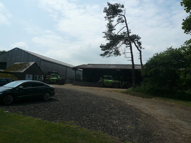
The walk starts from here, there is a lane on the left side of the hall which we followed. It passes, on the left, West Hall, a strange looking farm house, crenallated and with a hint of a moat. The path goes through a farm yard and continues to Craggy Hall, aptly named as there are some crags on the right and a lime kiln too.
West Hall
fine example of a lime kiln.
The path, which is part of St. Cuthbert's Way, something I should have mentioned earlier, eventually reaches the cross roads at Swinhoe Farm. We followed the farm track that heads north west to Swinhoe Lakes.
Swinhoe Lakes.
From here the track goes through woodland before crossing fields to reach a junction. Turning right goes to Greymare Farm, sharp left keeps to St. Cuthbert's Way but we headed west then north west.
Not far along the track, which is between fields, there is, on the right hand side a small lake or pond or tarn. It is not marked on the OS map, at least not on mine which is dated 2009. Looking over the small lake or pond or tarn is a substantial wooden hut with a veranda. There are a couple of small boats on the shore so I think this must be somebody's fishing pond. I know all this because sometime last year I did this walk with a small group of friendly vegans. We decided to lunch on the veranda as there was nobody about. They didn't mind my cheese and pickle sandwich.
Today we walked past the pond and followed the track through the woods.
St. Cuthbert and St Oswald went this way. The curly N denotes the Northumberland Coast Path
Small lake or tarn or pond. The hut is just off to the left.
Woodland path
At Ravens Crag there is a gate and shortly after the track turns south. The views across to the Cheviot Hills are worth the effort, not that this is a particularly onerous hike.
There is a footpath off to the left which is not well marked so look out for it. The path crosses fields on the south side of Holborn Moss.
Holborn Moss with gulls.
The footpath climbs Greensheen Hill and at its highest point there is a Trig Point. We called a Herbie and sat in the sun enjoying the view and the almond slices, ginger biscuits, newly discovered Skinny Whips, flapjacks and savoury scones from Mrs A.
Herbie at the trig point. (Trig points were used by the OS for mapping in pre satellite days. You can buy one if you want, no idea how much they cost but you can't take it home. Surprisingly they were cast on site)
Hazy smudged view of the Cheviot.
Full we continued along the hill top ridge to a fence line where we turned right and walked down to the farm track. Turning left we came to St. Cuthbert's Cave but didn't bother stopping as it probably hasn't changed much. Well worth a visit if you haven't been though.
St Cuthbert's Cave. I have no idea whether the monks who carried his body around ever actually visited the cave.
Further along the track we also passed Cockenheugh.
Another rocky outcrop, Cockenheugh.
The track turns north east, passes Dick's Oldwalls and eventually reaches Swinhoe Farm again. We walked through the farm yard, back on St. Oswald's Way/Northumberland Coast Path. Several fields later we passed West Hall again and were back at the cars.
On the way home we stopped at the Cook and Barker in Newton on the Moor, just off the A1. A smart looking Range Rover was parked outside. They always have several good beers on offer or coffee if that's your choice.
As we headed for a table to share we passed a bald headed man wearing spectacles and a very non descript T shirt. He was with a lady and a small boy aged about four. As we headed for the bar I heard him mutter to his wife. "Look at that bunch of weirdos, just what I need in my advisors office."
This walk is about 10 easy miles.
Contains OS data, copyright. Crown copyright and database right 2020.
And a few more;


