A walk on the south side. (Northumberland) April 27th
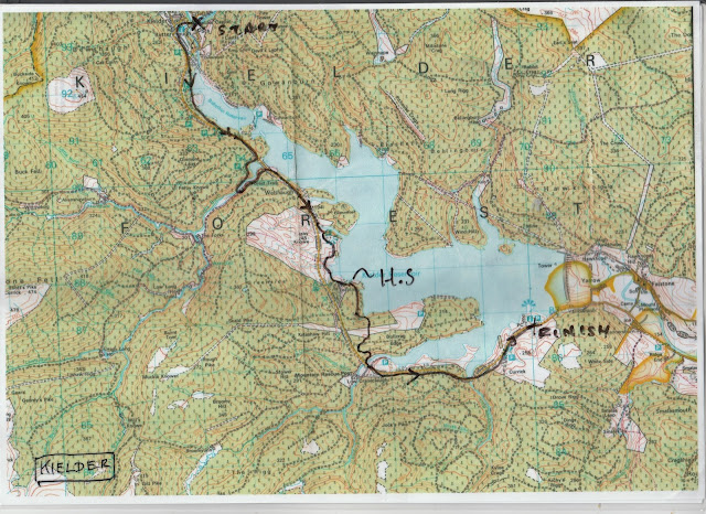
Back to Kielder so soon! Five of us planning to walk from Kielder castle at the north end of the lake to Tower Knowe visitor centre at the south end. Two cars, one left at Tower Knowe and one in Kielder.
Same route to Kielder as last week and same map OS OL 42 Kielder Water and Forest but it is not essential, the path on the south side is as good as the one on the north. We are; John C., John H., Brian, Dave and me. The weather forecast suggests a breezy day with showers.
As we are starting from the castle we can have morning coffee and bacon, as required.
Two car parks this week; top is Tower Knowe where I left my car and bottom is at Kielder where Brian left his.
Kielder castle and visitor centre. TV screen with camera aimed at one nest. Small museum, good bacon.
We left the castle and walked down the hill past the maze, called the Minotaur, and found the sign post that directed us to the south shore.
The walk is well posted.
The south shore is quite different from the north. It runs close to the road from Bellingham to the depths of Scotland, it has, including Kielder Castle, three visitor and activity centres and several car parks. A better side for short walks and family outings.
The first stop we made was at the Bakethin Bird Hide. Two rooms, one for the lake and one for the forest. There was not much happening on the lake, a few ducks, a distant heron, several cormorants and a RAF plane.The forest was even quieter.
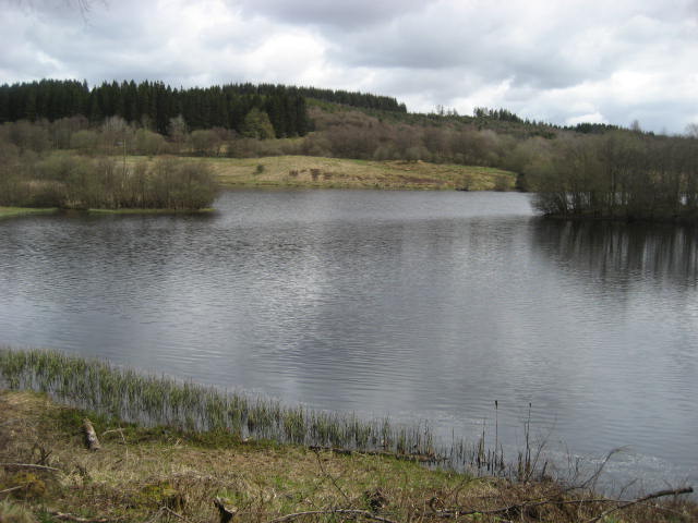
The lake from the bird hide.
Moving on we followed the path as it wound its way past Mirage, art installation looking like decking, and round Lewis Burn, crossing the stream on a fine modern bridge.
The bridge over Lewis Burn.
About half way into the walk we came to the visitor centre at Leaplish Waterside Park and called a Herbie Spot, making use of a picnic table.
Leaplish. We shared red onion and mozzarella buns from Mrs A. Snickers, Mcvities Chocolate biscuits and Czech Chocolate.
Brian works as a volunteer osprey guide and pointed out one of the platforms on the horizon on the far side of the lake. Fortunately we had binoculars. Each platform has a camera attached to an arm and sometimes the mummy or daddy osprey sits on the camera, after a selfie probably. We could just make out a shape on the camera so at least we can claim to have seen an osprey today, even though it was a distant spec. There is a shed at Leaplish with a record of sightings of the birds, their activities and of course, a TV screen showing live pictures of one of the nests.
Moving on we walked through the Enchanted Wood, mostly ancient beech trees. There is a Squirrel hide too, but we only saw chaffinches and bluetits, no little red rodents.
Crumb eating chaffinch
Squirrel hide
Enchanted beech tree.
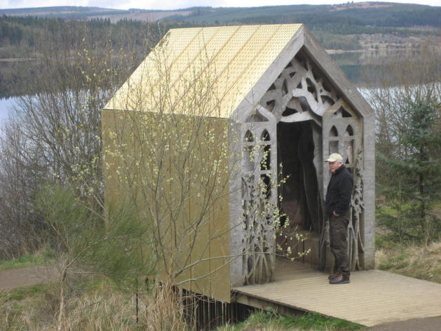
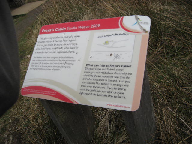
Beyond the hide we came to Freya's Cabin. Her cabin compliments Robin's Hut on the north shore, they did eventually get together and lived happily ever after until the dam was built and their farm was flooded.
Freya's cabin, but he isn't Robin.
Close to the cabin is a sign post. One arm points along the shore and claims seven miles to Tower Knowe. At rightangles to it an arm claims four miles to Tower Knowe by cutting off the walk round Bull Crag Peninsula. The pub was calling, we took the shorter route and eventually returned to my car at Tower Knowe. I took Brian back to Kielder for his car and we all went to the Cheviot Hotel in Bellingham for refreshment. Four ales on offer in a very busy and friendly pub. The boys had Tyneside Blonde or Reivers ale. I was driver and had coffee!
Walking the south side is generally easy going, not as many short steep hills as the north but the north feels more isolated from civilisation unless you can hear the forestry workers and their machines cutting down Kielder Forest. South side is better for short walks, sailing, fishing, visiting gift shops and so on.
MATRIX MMXVIII A4
steps miles
NAK 24089 10,7 needs adjusting again
iPhone 33335 12.5
Dave's 3D 25153 12.33
""" USB 25299 12.27
"" NAK 24339 12.29
Sylvia's mother 24033 12.14
NEW GARMIN 12.32
etrex 3hrs 38 mins walk 1hr 48 mins talk 11.94
Contains OS data. Copyright. Crown copyright and database right 2019


