The A team strikes again..................December 3(Northumberland)
Harry and I have been walking, camping and drinking for about 35 years. When he retired and I went part time we decided to have a walk out every Thursday, later changed to Friday for grandchildren sitting reasons. As friends retired they joined us and now on a full turnout there are eight gadgies who go wandering on Friday.
Today is New Years Eve, nobody else is out, partly because of the holidays, partly because the current storm, Frank, is playing havoc in the north, flooding partsof Cumbria again, Lancashire and Yorkshire.
So Harry and I, known as the A team are having a quiet stroll from Bolam Lake, a walk recently covered.
To get to Bolam Lake from Newcastle head north west on the A696 through Ponteland and Belsay. Just north of Belsay take the road on the right (NOT TO WHALTON) and follow signs to Bolam Lake. Park in the main car park where there is an information centre. Parking is free but check the time the barrier closes. (4pm today December 31st)
Today's car park and visitor centre, Bolam Lake.
WARNING: CAN BE A VERY MUDDY WALK.
Although it is not long since I did this walk a blog is a blog is a blog.............
The two of us walked down to the lake and headed south along the east side of the water.
Bolam Lake.
In wintry sunshine the lake looked pretty, and cold. There were many small birds around, making good use of the feeders in the trees, and there were several families tiring out their small children, it is New Year's Eve after all, don't want your kids up late.
Leaving the park we walked a few yards down the Belsay road before turning right at the White Gate and crossing a couple of fields to West Cottage. Markers take walkers round the cottage and up a lane with some cut out rabbits and a deer in the right hand field. Target Practice?
Don't shoot the sheep, it's real.
After crossing a stream we walked north west across a field until we reached a metalled track (why do they call them metalled?) which took us close to and past Sandyford, the farm with line symmetry.
Symmetrical Sandyford.
Staying on the track we walked south west, past West Toothill and then, at the finger post, turned right and walked almost due north across the fields to East Shaftoe Hall.
The walled garden at East Shaftoe Hall, facing south
East Shaftoe Hall, also facing south.
Reaching the hall we turned left and headed for Shaftoe Crags. Having been here several times we didn't bother looking at the famous Devil's Punchbowl, though come to think of it maybe the bowl was full of punch for New Year.
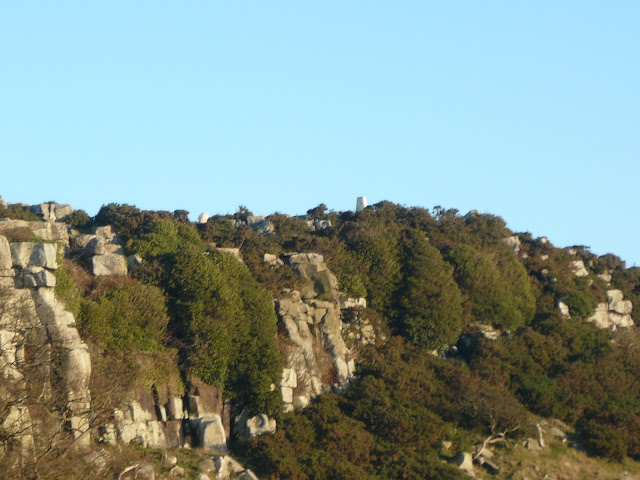
Remains of the ancient fort on the crags.
Following the track which turned north at Shaftoe Grange we came to the Salter's Nick, once used by carriers and drovers. Long before John Wayne drove the Chisholm trail Scots brought their herds down to English markets and English took their salt to Scotland for the porridge eaters.
Salters Nick
Through the nick we continued east to a finger gate and headed north across sheep infested fields to Middleton Bank Top farm. We turned right and after a few hundred yards on the road found the finger post for Bickerton on the left and several square yards of deep mud round a feeding trough for cattle and placed strategically just inside the gate.Undeterred we continued roughly east, carefully opening and closing gates (which nearly all had markers), crossing The Devil's Causeway for the second time in the day (Roman Road, course of, nothing to see) until we reached Bickerton, an isolated small holding specialising in Guinea Fowl.
Guinea Fowl and sheep
The route is well marked.
Beyond Bickerton we crossed a stream, several fields with turnips and sheep, and came to the road. Turning left we came to Angerton Station which is not marked on the map. A muddy lane by the side of the house took us to the old and dismantled railway line.
Once Angerton Station. You can see the remains of the platform by the fence.
Not far down the railway we spotted the marker on the right which took us south past Angerton Steads . Instead of heading for the church we followed directions south west across fields close to Bolam Hall before arriving at a fine stile and information board.
A distant view of St. Andrew's Church. Saxon origins and very pretty. Well worth a visit.
This is Capability Brown territory.
Now that is a stile.
We turned left and walked back to the car park, well before it closed. No Herbie Spot today, we just kept going allowing an early home time to get ready for the New Year.
Matrix MMXV ZZZZZZZZZZZZZZZZZZZZZ
steps miles
Nako 14619 10.65
GPS 9
Contains OS data Copyright Crown Copyright and Database right 2015
HAPPY NEW YEAR TO ALL MY READERS,
HOPE IT'S BETTER THAN 2015 FOR ALL!
Harry and I have been walking, camping and drinking for about 35 years. When he retired and I went part time we decided to have a walk out every Thursday, later changed to Friday for grandchildren sitting reasons. As friends retired they joined us and now on a full turnout there are eight gadgies who go wandering on Friday.
Today is New Years Eve, nobody else is out, partly because of the holidays, partly because the current storm, Frank, is playing havoc in the north, flooding partsof Cumbria again, Lancashire and Yorkshire.
So Harry and I, known as the A team are having a quiet stroll from Bolam Lake, a walk recently covered.
To get to Bolam Lake from Newcastle head north west on the A696 through Ponteland and Belsay. Just north of Belsay take the road on the right (NOT TO WHALTON) and follow signs to Bolam Lake. Park in the main car park where there is an information centre. Parking is free but check the time the barrier closes. (4pm today December 31st)
Today's car park and visitor centre, Bolam Lake.
WARNING: CAN BE A VERY MUDDY WALK.
Although it is not long since I did this walk a blog is a blog is a blog.............
The two of us walked down to the lake and headed south along the east side of the water.
Bolam Lake.
In wintry sunshine the lake looked pretty, and cold. There were many small birds around, making good use of the feeders in the trees, and there were several families tiring out their small children, it is New Year's Eve after all, don't want your kids up late.
Leaving the park we walked a few yards down the Belsay road before turning right at the White Gate and crossing a couple of fields to West Cottage. Markers take walkers round the cottage and up a lane with some cut out rabbits and a deer in the right hand field. Target Practice?
Don't shoot the sheep, it's real.
After crossing a stream we walked north west across a field until we reached a metalled track (why do they call them metalled?) which took us close to and past Sandyford, the farm with line symmetry.
Symmetrical Sandyford.
Staying on the track we walked south west, past West Toothill and then, at the finger post, turned right and walked almost due north across the fields to East Shaftoe Hall.
The walled garden at East Shaftoe Hall, facing south
East Shaftoe Hall, also facing south.
Reaching the hall we turned left and headed for Shaftoe Crags. Having been here several times we didn't bother looking at the famous Devil's Punchbowl, though come to think of it maybe the bowl was full of punch for New Year.
Remains of the ancient fort on the crags.
Following the track which turned north at Shaftoe Grange we came to the Salter's Nick, once used by carriers and drovers. Long before John Wayne drove the Chisholm trail Scots brought their herds down to English markets and English took their salt to Scotland for the porridge eaters.
Salters Nick
Through the nick we continued east to a finger gate and headed north across sheep infested fields to Middleton Bank Top farm. We turned right and after a few hundred yards on the road found the finger post for Bickerton on the left and several square yards of deep mud round a feeding trough for cattle and placed strategically just inside the gate.Undeterred we continued roughly east, carefully opening and closing gates (which nearly all had markers), crossing The Devil's Causeway for the second time in the day (Roman Road, course of, nothing to see) until we reached Bickerton, an isolated small holding specialising in Guinea Fowl.
The route is well marked.
Beyond Bickerton we crossed a stream, several fields with turnips and sheep, and came to the road. Turning left we came to Angerton Station which is not marked on the map. A muddy lane by the side of the house took us to the old and dismantled railway line.
Once Angerton Station. You can see the remains of the platform by the fence.
Not far down the railway we spotted the marker on the right which took us south past Angerton Steads . Instead of heading for the church we followed directions south west across fields close to Bolam Hall before arriving at a fine stile and information board.
A distant view of St. Andrew's Church. Saxon origins and very pretty. Well worth a visit.
This is Capability Brown territory.
We turned left and walked back to the car park, well before it closed. No Herbie Spot today, we just kept going allowing an early home time to get ready for the New Year.
Matrix MMXV ZZZZZZZZZZZZZZZZZZZZZ
steps miles
Nako 14619 10.65
GPS 9
Contains OS data Copyright Crown Copyright and Database right 2015
HAPPY NEW YEAR TO ALL MY READERS,
HOPE IT'S BETTER THAN 2015 FOR ALL!


