Lesbury, Longhoughton and Boulmer. March 7th
(Oh brother, where art thou?)
Numbers reduced again, six of us are off for a coast and country stroll in Northumberland.
Starting from the village of Lesbury, easily found by following the Northumberland Coast Route, the walk starts crossing country before a few miles on the coast.
The map to use is OS Explorer 332 Alnwick and Amble.
The temperature has risen slightly, spring is officialy here. But we are promised a shower or two.
Lesbury is a pretty little village. The name comes from Laece Burg, "The leeche's (physician's) town".
The church, St Mary's, gets a mention in 1147, the tower is Norman, the building was restored in 1846.
St Mary's, Lesbury.
Parking is limited so we left cars on the side of the road near the church, booted up and set off on the walk.
Definitely not a calendar contender.
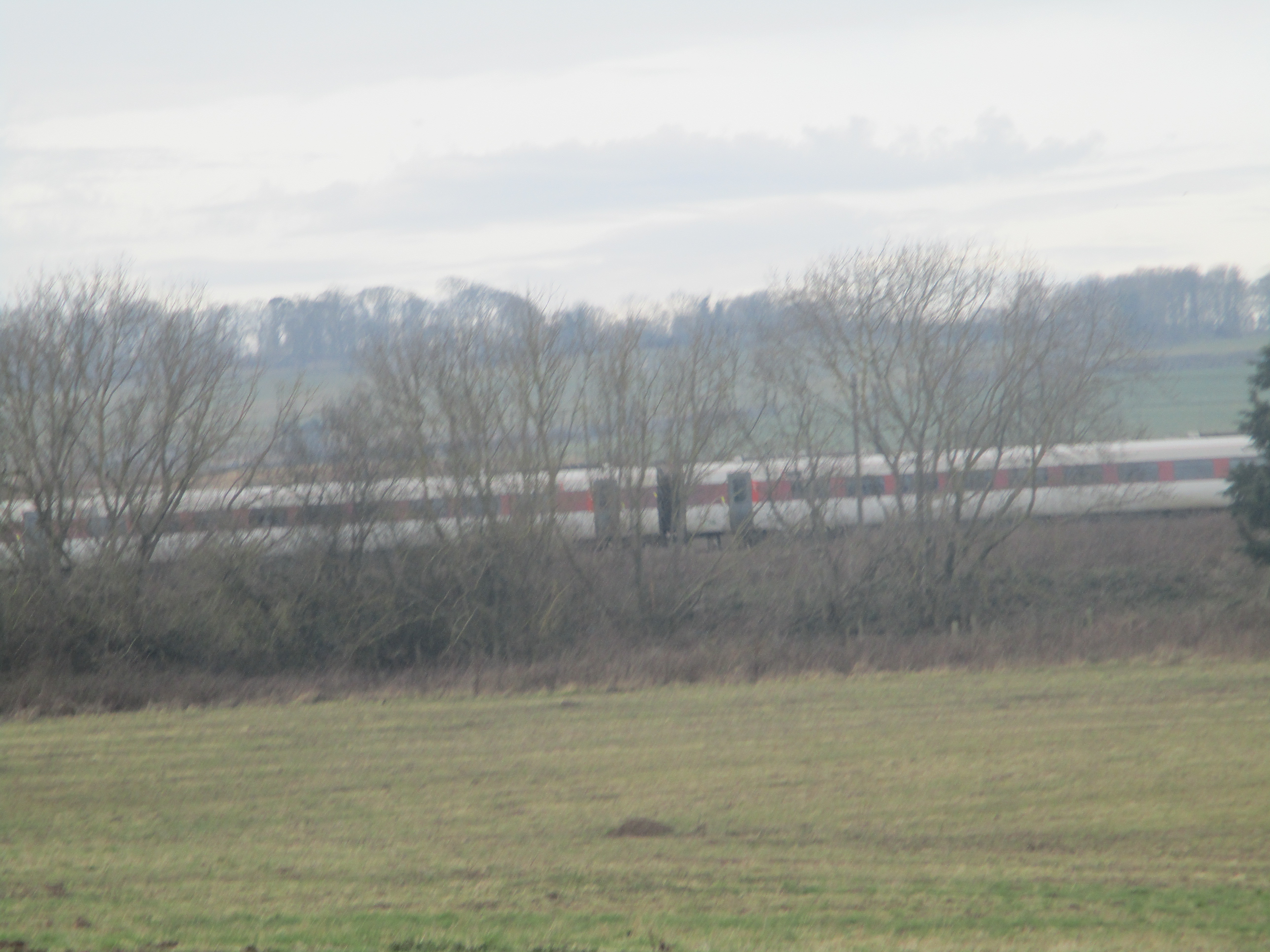
Leaving the village, heading west we turned right at the roundabout and walked on the road and under the railway bridge that carries the main East Coast line and turned right on a road parallel to the track.
A short distance beyond the old station, now a private house, we turned left through a gate and followed a footpath across a field.
Turn off here, and keep to the path.
The footpath eventually joins a farm track and at mile 2 a track on the right heads towards Longhoughton. After a few hundred yards we took a footpath on the left, a little muddy, which leads to a railway bridge. We met several frogs, or maybe toads too.
Without my uncle rat's consent, I would not marry the president, she sang. The path passes a ruined building before reaching the railway. Once through the bridge we turned left and reached Longhoughton at mile 3. Turned left, then crossed the road at the junction to reach the village.
St Peter and St Paul, Longhoughton. 11th and 12th century with Victorian restoration.
Just beyond the church a signpost points the way to Low Stead farm and the coast. There is car parking at Howdiement Sands, south of the well known Sugar Sands and Howick Burn.
We turned right, heading south and walking the grassy footpath close to the sea with a short stretch on the soft sandy shore.
The first short shower of the day had most of us donning waterproof tops and even, in some cases, overtrousers.
The path joins a firm track near Boulmer, there is some art on the field wall.
The Boulmer falcon.Boulmer is a small village, a hamlet really. There is a pub, a car park and a community hall. Outside the hall a couple of picnic tables made a Herbie spot. Titans, ginger biscuits, chocolate biscuits and caramel/chocolate shortbread.
However at this point we realised one of the team was missing and I realised my flask of tea was still on the kitchen bench. The missing one will not be named but to be fair, had he passed the picnic spot he would have been seen.
Lunch over we split into two search teams. The rain resumed, quite steadily. Three took to the beach, Ben and I followed the English Coast Path (Now the Charles III path) across dunes, through a small caravan site and across a golf course at Foxton Hall.
From the club house a good track leads to a road which we crossed and started the downhill path back to Lesbury. My phone rang. It was the missing gadgie, he was back at the car in Lesbury. How he missed us is a mystery, or is it?
A misty view of the river Aln Last bridge for LesburyIt was still early in the day, we were all rather damp so we went home.
Contains OS data, copyright. Crown copyright and data bse right 2025
The walk is about 9.5 miles, easy going.
And four from Harry who is a much better photographer


Ran quite a bit of that route on the Beadnell to Alnmouth race, used to be called the Phoenix 14. Beautiful countryside.
ReplyDelete