Translate

Saturday 21 May 2022

Back to Belsay

 Four go off to Belsay. (Northumberland) May 20th

A young lady I know was highly critical of my efforts to give last week's blog a classical title. 

"Your Latin is rubbish " she said. I blame the Translate App on my phone and not Miss Ferranbach who tried in vain to instill some Latin into me. Amo, amas, amat......................

Numbers are reduced again because of holidays, family commitments and so on. Harry, Dave, John C and I are off for a country stroll from the village of Belsay. 

The small village next to Belsay Hall, Castle and Gardens is about five miles north of Ponteland. The Blacksmiths cafe provides morning coffee and parking spaces.

The walk is covered by OS 316 Newcastle upon Tyne. The walk is well posted with yellow arrows and bridleway markers. There are several stiles to negotiate, some are rather wobbly.

                      Free parking close to the Blacksmiths

                Free plug for the Blacksmiths, sure they won't mind

There is a farm road heading south from the Blacksmiths and after a couple of bends and about threequarters of a mile we reached  East Beechfield Farm.

                              East Beechfield farm. The walk goes through the yard.
having walked through the farmyard we spotted and followed the marker post that took us initially across fields where sheep and lambs grazed. The next field had a path going through the oil seed....

Battling through the crop and a wobbly stile.
The next farm we came to was West Newham and from there we turned right, followed the road for a short distance , took a short cut across a field, back to the road and turned left towards Huntlaw. (mile 3)


                             Sheep, lambs and geese near Huntlaw.
Continuing east on a grassy track we soon reached West Grange (mile 4) and Milbourne Grange,
(On previous occasions we continued on the road to Robsheugh Farm and then walked to the church at Milbourne, it adds another mile.)
At Milbourne Grange we called a Herbie, sitting against the wall of the Methodist Chapel.

                     Milbourne Methodist Chapel. Not much in the sharing today, Skinny whips and Battenberg cake. And it started to rain, lightly.
Break over we followed the fingerpost opposite the chapel and headed north alongside a well wooded stream before emerging into fields. Farmers in this area have left generous paths through the crops.

                                                    Barley (?)

At one point the footpath reaches the delightfully named Cadgers Burn. Look carefully at the OS map;

there is a small pond, the path goes straight through it but we took the trail round it. Good advice.


                           Entrance to the pond.

We crossed more fileds until we reached East Newham farm which had an interesting but abandoned well:


                         The engineers found it very interesting.

We turned left at the farm and walked on the road to Middle Newham (mile 6) taking note of the remains of a Medieval village with earthworks. Just beyond the farm we turned right and crossed fields towards East Beechfield Farm.


                   Thrtee crops together: Crimson Clover, Fodder raddish and Purple tansy. What you can discover with a smart phone!


                        Nitrogen fixatives

From East Beechfield we went back to the cars, passing the Belsay Woodland Burial Site. 

Changed we headed for John the Clerk, a Wetherspoons pub in Cramlington. Abbott Ale or Ruddles Bitter. Very refreshing.


                               Contains OS data, copyright. Crown copyright and database right 2022

The walk is an easy going 7.5 miles, mostly farm land.


Sunday 15 May 2022

Natalis beati Hadriani Murus

 Natalis beati Hadriani Murus* (Nothumberland)    May 15th

Unable to join the gadgies on Friday for the weekly walk and philosophical discussions, I have joined the Greens again for a short walk based on Haltwhistle in the Tyne Valley.

Part of the walk is along Hadrian's Wall which was started in 122AD, Taking about  six years to complete (Hadrian didn't need planning permission) it crosses England at the narrowest point and is about 80 miles long.

To reach the start head west on the A69, turn off for Haltwhistle head  for the town centre but branch right onto Main Street. There is some parking on the side of the road but we parked in Sainsbury's car park. Some of us felt morally obliged to make a purchase.

The map to use is OS OL 43 Hadrian's Wall.

The name Haltwhistle comes from Old English heafod meaning hill and twisla meaning fork in the river, or confluence. It occurs in place names like Twizell near Ponteland.


                   Parking at Sainsbury's. Rather smart space dividers.
Leaving the car park we walked back up to Main Street, turned right and after a few hundred yards and a terrace turned left down a footpath, passing a football pitch with a rather fine white fence until we came to Haltwhistle Burn.
There remains much  evidence of the burn's industrial past when coal was mined, wool and cotton were woven and a light railway carried limestone to kilns for conversion to fertiliser.

                                 Once a mill?
The  burn is now a pretty woodland walk, crossing and recrossing the stream.

                              Remains of a stationery steam engine.

                     
                           The footpath was once a railway line carrying limestone.
                      The heron led us upstream but never allowed us near.


Look carefully, there is a lime kiln.
Almost at the top of the valley the path emerged, crossed a field and came to the B6318 usually known s the Military Road.
We turned right, walked a few hundred yards if that and took the footpath on the left. This path passes the outlines of several Roman camps and forts and we followed the stream for some time (mile 2) before reaching and crossing a minor road and arriving at Cawfield.

Cawfield.  Car park and picnic spot on the wall. It is a disused quarry, but not Roman
Having walked round the small lake we joined the Hadrian Wall path which runs alongside the remains of the actual wall. Soon we reached Milecastle 42:


Milecastle 42 as it may have been and as it is. As the name suggests there is one small castle every Roman mile, about 1000 paces. And between each Milecastle there are two turrets.

Remains of the wall. Originally about 3 metres high. Most of its stones are in nearby farms.

The path alongside the wall follows a line of crags and there are several short but steep ascents and consequently several short but steep descents, and several gates.
Turret 41 B was passed unnoticed but shortly after Turret 41A we stopped for a Herbie. Being a Greens trip there was no sharing, a ritual they should consider.
                                                        Steep steps

                             Turret 41A s it may have been and as it is.
Break over we continued, crossing a minor road and heading south towards the Military Road again.
Having safely crossed we headed towards  but not to Hill Top before turning south west across the fields on a lovely green track  to Hollin Crags. Over more fields that supported cows sheep and horses and went mostly down hill we came to a minor road at Pyke Dyke Neuk, great name.


After a few yards walking down the road we took the footpath on the right and after a couple more fields we crossed the Haltwhistle Burn again, passed the football pitch with the white fence and were soon back at the cars. Then we went home!
Contains OS data copyright. Crown copyright and database right 2022.
The walk is a little over six miles with a few climbs and good views.
* Happy Birthday Hadrian's Wall


Saturday 7 May 2022

A brandy on Windy Gyle

 A Brandy on Windy Gyle 

Northumberland. May 6th

Ii is John's birthday again. Following a tradition going back twelve years his birthday is to be celebrated with a trek to Windy Gyle and downing a brandy at Russell's Cairn on the border between England and Scotland.

To get to the start of the walk go north on A1, A697, turn off at Weldon Bridge, go through Rothbury, turn off for Alwinton, go through the village and continue to a car park on the left at Barrowburn.

The map to use is OS OL16 The Cheviot Hills.

There are seven in today's team: Brian, Margaret, Ian, John L. Dave, myself and Julie, a member of the Green's Walking club who has opted to join us. 


This week's car park at Barrowburn, also marked as Wedderleap in honour of the rustler who stole an ewe and tried to leap across the River Coquet with it but failed.

Leaving the car park, as the rain started, we crossed the river using the footbridge that presumably wasn't there when the rustler pinched the sheep, crossed a field and headed north passing the old village school which is now a holiday let.


Footbridge over Coquet and old village school.

The path, quite well marked, heads north, contouring Kyloe Shin, crossing Middle Hill and another, unnamed bump  until it reaches a cross track, which is like a cross road but for tracks. (2.5 miles) Heading north east takes the walker to Uswayford and a walk through a plantation  until it joins the more direct route followed by us today. This route goes alongside Hazely Law and Hazely Slack climbing steadily until it reaches open moorland and a gate on the border between England and Scotland. (mile 4)


Brian, Ian, Margaret,  John, Dave and Julie. They are in Scotland, the photographer is in England.

On the English side of the border fence is a footpath made from good old Yorkshire Mill flagstones. Probably as well, otherwise it would be rather boggy, although there has not been much rain recently. Until today that is, dark clouds scudding in from the west, dampening the soles but not the spirits.

This section of the walk is on the Pennine Way, the longest long distance footpath in England and Scotland.

                                              True Yorkshire Grit

Dave, a professional archaeologist says this is the real Russell's Cairn. It is on the Scottish side of the border and is in memory of Lord Russell, an English aristocrat who was slain on the spot by the Scots as he tried to make peace negotiations in July 1585

Some few hundred yards further on and also on the Scottish side is the large burial cairn marked as Russell's Cairn on the OS map. It is the burial site of an iron age chieftain, possibly and there is enough room in its circular walls for seven of us to have a Herbie.(mile 5)

                              Herbie time at Russell's Cairn, possibly. Ian is mostly hidden by John. I'm incognito
                        It was John's birthday. To celebrate he very kindly brought along a bottle of brandy, enough paper cups and some birthday cake. Happy birthday John. This is the third time we have celebrated his birthday in this spot. A tradition in the making.We also shared apple pies, savoury tarts, apple cake and chocolate cake. Strangely I lost two pound in weight on this walk. (1kg approx)

                        A dreek view of Bonnie Scotland, land of oats and whiskey.

Lunch over we continued to follow the Pennine Way and the border fence, passing the delightfully named Split the Deil, (no idea what it means), crossed the Foul Step which is a bit steep and the small stones act like ball bearings until we came to Plea Knowe.(6.5 miles)

From here we headed south on good moorland tracks with several gates and stiles to negotiate. Fortunately all gates were easy to open, stiles are getting difficult for older gadgies. The track climbs several smaller bumps and of course has to come down from them. The views are well worth pausing for, even on a damp May day.


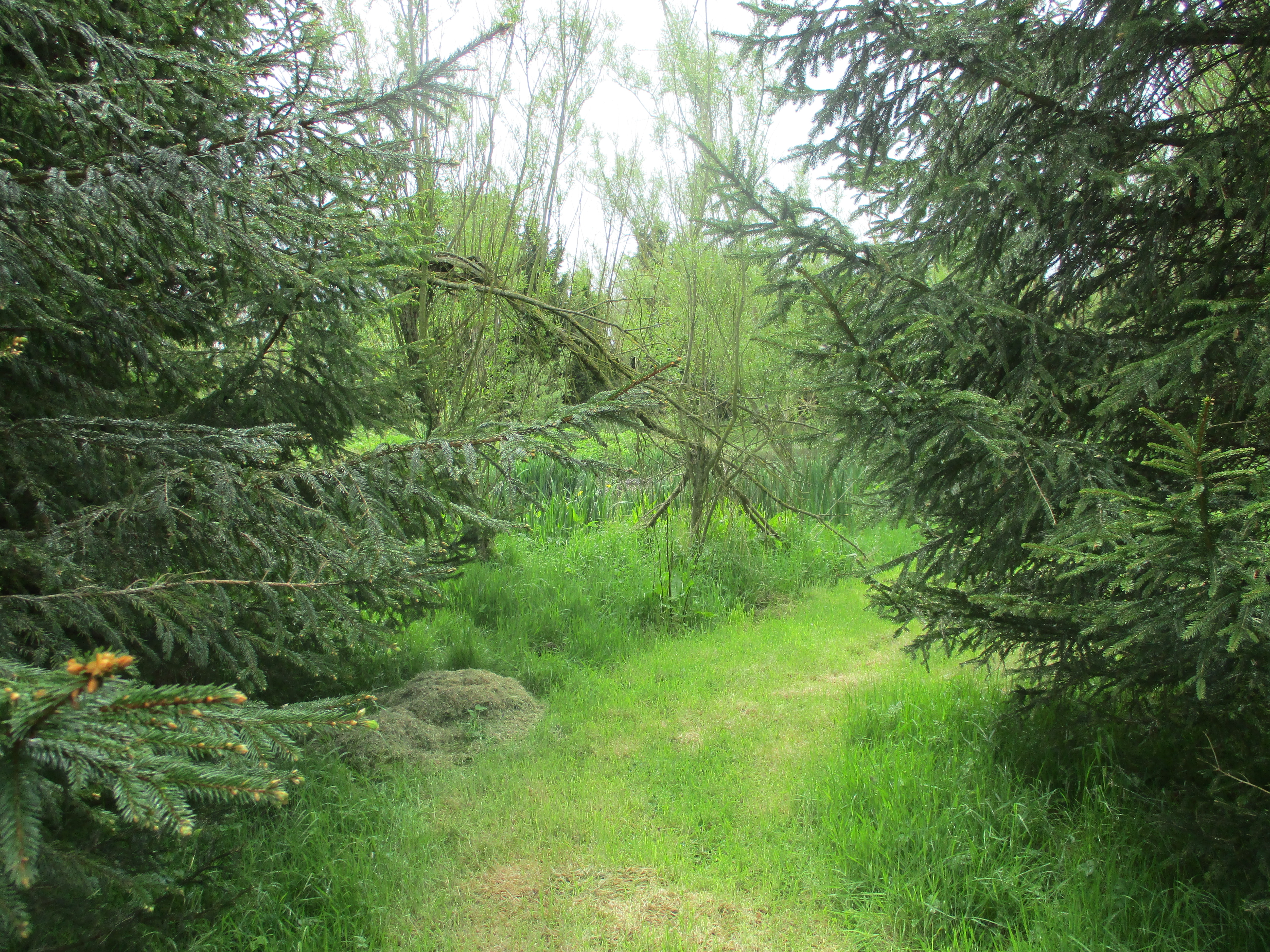
                  More storm Arwen devastation. Gonna be some great bonfires this November!

This track is called the Street and crosses Black Braes, Swineside Law and Hindside Knowe until it finally comes down to the valley bottom and the Rowhope Burn. On one hillside we spotted some of the famous feral Cheviot goats, Too distant to photograph and too smelly to approach but....


Billy goat Gruff, on a bluff.

There is a small car park (mile 10) where the track hits the valley road. From there we walked back to the car park. Changed we headed for the Rose and Thistle in Alwinton. Great pub, had only one beer on today, Northumberland Gold from Hadrian Brewery. So good we had several, apart from the noble drivers of course.


Rose and Thistle, food, drink and maybe accommodation. 


The map contains OS data, copyright. Crown copyright and database right 2022

Russell's Cairn is at 2030 feet or 619 metres if you must.
The walk is about 11 miles, with a few steep climbs.

And a few more: