Translate

Wednesday 30 May 2018

There really is an Osprey. May 29 (Northumberland)

It was a misty moisty morning when Dave and I set off for the third time to try to spot an Osprey on Kielder Water.
By the time we reached Falstone, a village just below Kielder Dam, the mist had lifted and the sun shone. There are several routes that will take you to Falstone, we chose the A69 west, the A68 north and then followed brown signs for Bellingham and Kielder. A map is not necessary but OS OL Explorer 42 Kielder Forest and Water covers the stroll.
We parked in Falstone for two reasons; it's free and it's a pleasant walk of about a mile up to the dam.
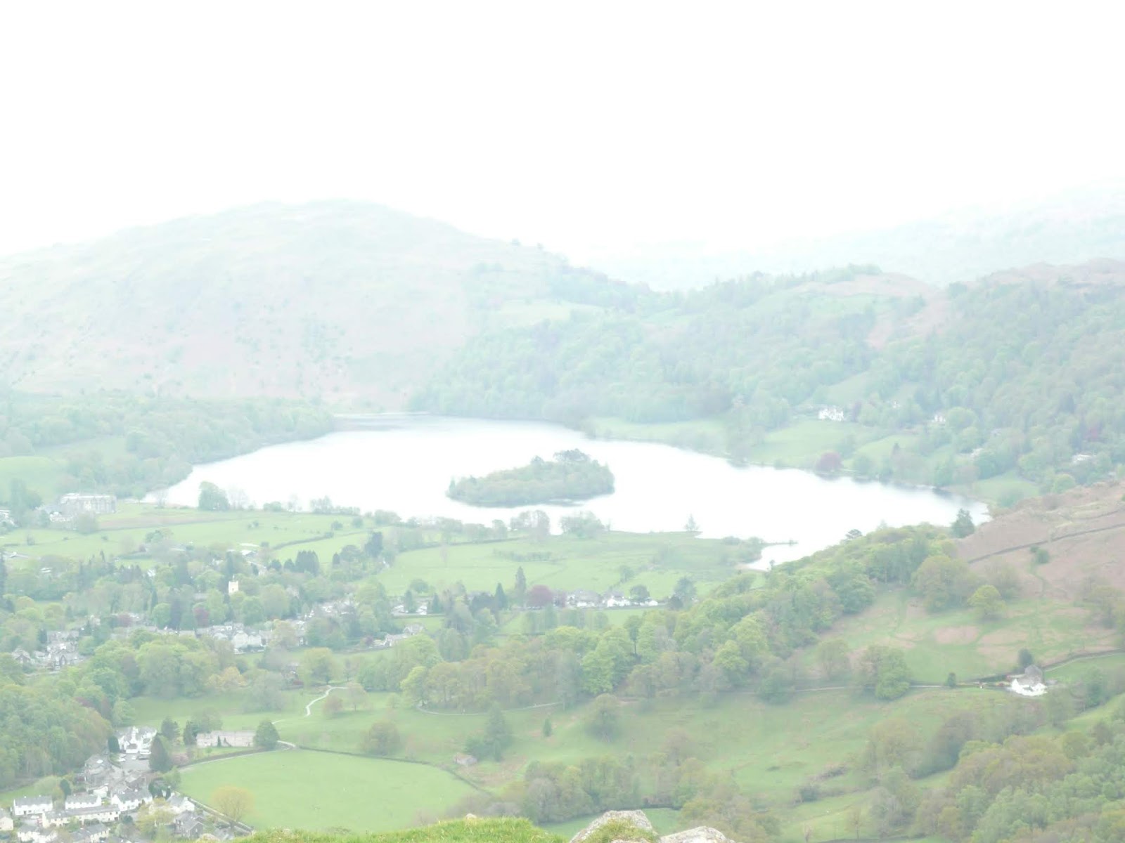
                   It's nice to have a car park picture again, I've not been walking for a couple of weeks, due to an age induced injury
                                        The North Tyne at Falstone.
From Falstone we walked across a couple of fields which supported some lively lambs and their mums, past a farm now used by the Forestry Commision as a cold store (why?) and up the track to the dam itself.
There is a large stone thingee to commemorate the opening of the dam by the Queen, or the closing of it as she jokingly said.
                           Large stone thingee.
We first went to look at the new nests the martins were building under the eaves of the car park toilets (£5 for a day's parking) and then stood by the wall next to the road which crosses the dam.
And there it was, high in the sky, white headed, sharp beaked and gently circling, an osprey. Then it vanished.
With eyes on the skies we crossed the dam, occasionally looking at the grassed southern side as we have seen deer there before, bujt not this morning.
As we crossed the dam the roar of a low flying RAF transport probably scared off any osprey.
 This is not an osprey, this is a very large plane.
At a very low height the plane circled the dam four or five times before heading off, leaving us to walk to Tower Knowe, café and visitor centre.
At the centre we decided to call a Herbie, sitting on the beach near the ferry landing. The ferry, apparently, does not run at the moment and the landing was padlocked.
Three children, Emily, Andrew and Philip (why were they not on their ipads?) were happily throwing stones in the water so we gave them a demonstration of what I called "ducks and drakes" and Dave, being a midlander called "skimming." I managed to make a stone skip a few times, and felt very pleased.
Lunch over we looked in the visitor centre which had a fine display of dolls and lampshades as well as books on Northumberland walks and tea towels. Who buys lampshades out here?
There is also an excellent display on the dam itself, the construction and the use to which the water is put. We watched a short film on the planning, construction and opening of the dam which supplies water to the Tyne, the Wear and the Tees, mostly through  a system of pipes and pumping stations..
We then walked on from Tower Knowe following the lakeside path for several miles. At one point \I spotted a large predator in the sky but on closer examination through the binoculars it turned out to be a buzzard.
After a while we decided it was time to turn back as we both had evening appointments. So we walked back to Tower Knowe and  across the dam. At the foot of the dam, against a plantation fence was a single deer. Back at Falstone we changed and headed home.
A fine walk out, a bit of practice for the forthcoming Dalesway Walk.
At last I had seen an osprey, plus buzzard, plus a deer, plus many willow warblers, a garden warbler, robin and lots of LBJs.


And a matrix:
                                                                         steps                           miles
NAK                                                               24778                         9.38
iPhone                                                             19888                         8.2
etrex                                                                                                   8.83
Dave's 3D                                                       19303                          9.46
""""" USB                                                       18123                          9.15
"""""""NAK                                                    18080                          9.13
""""Sylvia's mother                                         19851                          10.30


3hrs 22 mins walking, 2hrs 10 mins talking                                                

Saturday 12 May 2018

A short stretch of the Coast to Coast. (Lake District) May 11th.
The Coast to Coast Long Distance Footpath, devised by the sainted Alfred Wainright, is 192 miles long from St. Bees on the sea side of Cumbria to Robin Hood's Bay on the Yorkshire coast. Brian and Margaret are on the third day of their walk and Harry, Dave and I are going to join them on the short section from Stonethwaite in Borrowdale to Grasmere. It's a linear walk so if you follow it you need a car at either end or you can do as we did;
Drive to Keswick, catch a bus down Borrowdale to the road end near Stonethwaite, do the walk and finally catch a bus from Grasmere back to Keswick. Check timetables, there are not too many buses and the last bus back to Keswick is quite early.
Maps are advisable use OS OL 4 English Lakes North West for the start and OS OL 7 English Lakes South East for the second half. Or buy a map that covers the whole English Lakes.

This week's car park in Keswick. It costs £9.50 for a whole day's parking. Not a fee, a tax.
There are two buses that run down Borrowdale, we caught the 77A at 9.30 because we are gadgies and use bus passes. An interesting journey down the west side of Derwent Water  to Grange where it crosses to the east. We got off at the road end opposite the track that goes to the YH.
We started the walk from here, and set pedometers. It is at GR NY 257142 on map 4.
Follow the sign to Stonethwaite.
We walked to the Langstrath Hotel where B and M had stayed, realised we had made a small mistake, turned round and walked to Stonethwaite Bridge to meet them.


                       Meeting up at Stonethwaite Bridge. It was cold and windy
From here the footpath, which is a bit rocky to say the least, follows Stonethwaite Beck, flat to start with before it starts to climb and changes name to Greenup Gill.


                                          Eagle Crag, on the right side of Stonethwaite Beck.
This being the Coast to Coast there was a steady stream of walkers, some British, some American and some Australian, and most qualified as gadgies. It's the grey £ or $ or A$
The path gets steeper, the scenery gets better, water tumbling down several falls. There are what I mistakenly called drumlins which are really named hummocky moraine, failed the Geography test again.
The last stretch of the climb is very steep but has been "stepped" in places making the ascent a little easier. One of the problems for the English Lakes is their popularity with walkers. In many places steeper slopes have large stones arranged as steps. Fine going up but coming down can be tricky if their are small stones on the steps, they act like ball bearings as Dave will testify. Take care.
                                           Greenup Gill fall
                      The green lump in the centre top is a hummocky moraine.
The top of the climb is Lining Crag where we paused to admire the view and have our photo taken by a lady from Vermont. She told me they did have moonlight but it was usually cloudy and the mountains are green, but not as beautiful as the Lakes. How very polite.
        Harry, Brian, Margaret, me and Dave. (This is for the ladies in Goole and Forest Hall, you are not forgotten)
From here we continued to Greenup Edge and then headed east close to Calf Crag, Moment Crag and Pike of Carrs. The path here is very indistinct in places and the ground is boggy too. At almost five miles in we declared a Herbie, as did the party of Australians.
                                  The Australian party and a foot. 
We shared Tunnocks caramel wafers, the last of the Czech chocolate and fruit cake from Mrs A.
Break over we continued over the soggy terrain, climbing over Gibson Knott and several other minor bumps until we reached Helm Crag an impressive bump with several rocky outcrops.
                 The Howitzer on Helm Crag. I was tempted to pose on the top but remembered  the words of SWMBO; "Stop doing silly things"
                                      The Lion and Lamb on Helm Crag. We called an extra halt here and called it HS2.
From Helm Crag there is a steep but stepped path which winds down the mountain eventually meeting a road at Lancrigg which has a café and a memorial to a certain William Wordworth the Wanderer. From here there is a footpath and then the road to Grasmere, the end of our walk.
Brian and Margaret were staying at The Inn so it seemed sensible to join them for a post walk drink there. The Marston's Pedigree was disappointing but the  Jennings Cumberland was fine.
We wished them joy on the next 150 miles of walk and the three of us caught the 555 bus back to Keswick and from there drove home.


Today's super Matrix MMXVIII M2
                                                                       steps                             miles
NAK                                                              28816                           10.91
iPhone                                                           25197                             9.85
OUTDOOR GPS                                                                                8.83
etrex                        4hr 6 mins walking 1hr 55 talking                      9.3
Dave's 3D                                                    26292                              11.31
  "" USB                                                       23595                             10.42
  "" NAK                                                      22953                             10.14
Sylvia's mother                                           25246                              11.16
Garmin                                                        21616                              10.82
I'll settle for 9
                      Contains OS data.Copyright. Crown copyright and database right 2018


Saturday 5 May 2018

Between the sea and the land
In Northumberland there's miles of sand. (May the fourth)
Adapted without permission from A E Houseman, hope he doesn't mind.
Hit by holidays again we are reduced to four gadgie Jedi; Brian, Harry, John H. and me.
We have chosen to walk from Craster to Seahouses, another two car job or do as we did and catch a bus back, but it is not a very frequent service.
To get to Craster go north on A1, turn east beyond Alnwick and follow signs on minor roads. The maps for the walk are:
OS Explorer 332 Alnwick and Amble
OS Explorer 340  Holy Island and Bamburgh, but they are not essential, keep the sea on your right.
Craster (Means camp where the crows live is a small fishing village although in years gone by there was a thriving trade in shipping stone from the quarry which is now a car park.
                  This week's car park in Craster, on the right as you come into the village, and only £2 all day! (Almost Yorkshire)
Before setting off we had breakfast in the Shoreline Cafe, popular spot, lovely ladies serving good food.
                               Shoreline cafe, Craster.
Across the road from the cafe is a good pub too, the Jolly Fisherman, usually noted in the Times when they want to include an eating place in the north. Famous for crab apparently.
And off we went on a bright sunny morning, the sun piercing the clouds like light sabres. Down the village road towards the harbour which had a few fishing boats tied against the walls.

                    The large block on the harbour wall is the remains from the days when stone was brought from the quarry by cable to the waiting boats.
From the harbour we walked past the old cottages and through a gate into fields.The footpath takes walkers to the ruins of Dunstanburgh Castle, quite large, you can hardly miss it. Sheep wander the fields, oblivious to the number of people walking towards the National Trust property, obviously not considering them to be nerf herders.

                           The ruined gatehouse at Dunstanburgh and the Lilburn Tower which has nothing to do with the Levellers. The castle looks like it was hit by something more powerful than a percussive cannon, but who knows the power of the dark side.
Once past the castle, and taking care watching for flying golf balls on the adjacent course, we hit the beach and strolled across a largely deserted Embleton Bay to Low Newton by the Sea, a square of whitewashed cottages which are mostly holiday lets and a pub The Ship, which also features in the Times where to go for a secluded spot in the north. The pub is usually packed, as it was today.
                    The Ship Inn, Low Newton by the Sea.
Pausing briefly to admire the golden sands of the bay, we headed off up the road a short distance before going through a gate on the right, crossing fields on the water's edge. After a while Harry and I hit the beach again and John and Brian walked the dunes, complaining they found our lack of faith disturbing in not following them.
At one point the beach is roped off as it is a sanctuary for terns, which are just beginning to return for the summer. We talked to the group of National Trust workers who were to guard the nesting site for the next three months, camping in the dunes and visiting local hostelries.
At the site it is necessary usually to go inland and cross the delightfully named Long Nanny by the footbridge.

                                Information boards at the tern site, they arrive every season!
Back on the beach having crossed the burn Harry and I headed for Beadnell where John and Brian were already Herbieing by the massive, impressive lime kilns that overlook the harbour.


                 Slim pickings today, Czech chocolate, Snickers and I'm sorry Mrs A. but I forgot what was in the delicious savouries you sent, apart from carrot. Was it Zucchini?
It was  a late lunch as we only had a couple of miles to go to Seahouses. We considered  the beach again but but decided, as there is either do or do not there is no try to walk the footpath through the dunes. Almost in Seahouses we crossed the golf course on a well marked path which eventually overlooks the harbour and headed for the Olde Ship hotel.
       The Olde Ship Hotel, full of local characters making it a bit like Mos Eisley Cantina, and it had a fine choice of good beers, among them Directors and Ruddles County.
             Seahouses harbour. Regular trips to the Farne Islands
                                 Many of the cottages in Seahouses are holiday lets. This one fascinates me as Ginnel is a grand Yorkshire word meaning passage way, usually between rows of houses and the word is not used in the North East.
Refreshed we walked up the street and caught the 16.52 bus to Craster. Service number 418, run by Travelsure and headed for Alnwick it gave us a ride like a badly serviced Millenium Falcon

Not having Dave the matrix is limited
My NAK gave a generous  33266 steps and 13.12 miles, etrex a more realistic 11.3 miles and a walking time of 3hrs 50 minutes, talking time of 1hr 26 minutes. OUTDOOR GPS said 11.3
Good walk out for May the fourth, it went well with us.

Contains OS data. Copyright. Crown copyright and database right 2018