Five walk the Cotswolds Way. By Tony Bilden.
June 4th to 14th.
This summer's long walk is a trek on the Cotswolds Way between Chipping Camden and Bath. We have chosen to start at Chipping Camden and head south because as we all k ow going south is downhill! Just look at the map, north is always at the top.
The tour has been organised by Macs Adventures. As usual luggage is carried from hotel to hotel so all we need is in a rucsac. Macs give an App for your journey which contains all you need, itinerary including accommodation, maps and points of interest on the way. Download able to phone, handy for the trip.
There are several guide books for the walk, each with notes on points of interest and maps. There is also a plastic covered map of the walk available. The Cotswolds Way is very well marked, relatively easy to follow.
Day one, June 4th
We shared two cars to take luggage, rucsacs and walkers from the North East to Chipping Camden. We spent the night in the Volunteer, walker friendly pub. In the evening the pub restaurant becomes The Maharajah, serving delicious curries. Nearby there is a car park which the local council recommends for people walking the way. Not secured but several people had already left there cars there.
The Volunteer Inn Chipping Camden.
Day 2, first walking day
The beginning, or the end, depending which way you go, is at the old Market Hall in Chipping Camden, so we walked the short distance from the pub and set off. This is not a guide, just notes on our journey.
The start in Chipping Camden and an encouraging post. They're off without me. Why doesn't someone invent the selfie
The first of many Cotswolds Hills we climbed, short but steep was Dover's Hill. Named for a gentleman named Dover who organised some "Olympic " games there in 1612. The games included knee kicking, so rumour has it.
The site of Captain Robert Dover's Olympics.
The next hill was Fish Hill, looked very dry. Then on to Broadway Tower where we met Paul, the man from Ohio, walking solo and hoping to do the Coast to Coast when he had knocked off the Cotswolds.
The view from and the view of Broadway Tower. Designed in 1798 by James Wyatt for the Sixth Earl of Coventry. The top of the tower is said to be the highest point in the Cotswolds.
Having admired the view and the tower we walked down and into the small town of Broadway, stopping for afternoon tea before pushing on to Stanton.
Stanton, "the perfect Cotswolds Village" . There has been a settlement here since 3500BC . Most of the cottages are 16th century. However I must say it was so quiet. A few cars around but little sign of life. Inhabited at the weekend perhaps?
A prearranged taxi took us back to Broadway for the night, staying at the Broadway Hotel and eating at the Crown and Trumpet.
Broadway Hotel and Crown and Trumpet. Distance today 10.4 miles. Total so far 10.4 miles
Chipping Camden to Stanton
Day 3, second walking day.
After breakfast we were taken by taxi back to SAtanton to continue our walk.
On the way we met a number of teenagers doing the Duke of Edinburgh award. Laden down with gear most looked happy and eventually we met a lady who was shepherding them along. She reckoned that in total there were about 80. Who says the young are wimps?
Stanway house, flying a Ukrainian flag.Beyond Stanway we passed close to Stump Cross, Hailes Abbey and the village of Winchcombe, once the capital of a Saxon shire.
Then we climbed to Belas Knap.
Belas Knap, 5500 year old burial mound or long barrow. Excavated in 1863, remains of children were found and an adult skull. Belas Knap means "hilltop beacon", so possibly it was used by Saxons. It is one of many long barrows in the Cotswolds, as we discovered.
Beyond this point we climbed to Cleve Common, the highest land point in the Cotswolds, much of the plateau being a golf course. We stayed at Cleeve Hill Hotel, run by Lyndsey who madeus very welcome and we ate at the Rising Sun not far away. We were joined at dinner by Paul, the man from Ohio.
Cleeve Hill Hotel
Stanton to Cleeve Hill
Today: 17.4 miles Running total 27.8 miles
Day 4, 3rd walking day
Leaving the hotel we climbed back to the golf course. We walked through Prestbury Hill Nature reserve which specialises in butterflies, not that there were many. We also walked through an ancient hill fort, Cleeve Hill Camp Hill, before descending to Dowdeswell Reservoir where we stopped for lunch. Refreshed we continued on the way to the golf course at Ullenwood where we were to be picked up by taxi. The golf club steward was from Newcastle, finding a group from Tyneside he made us welcome and invited us into the club house for tea or coffee. Free!!! Wherever you gan you're bound to meet a Geordie.
The taxi took us to Cheltenham and we stayed at the Cotswold Grange Hotel. The receptionist offered tips on eating places and not far away we found the Kemble. A small pub, friendly too but they had just stopped serving. Seeing there were five of us the landlord asked his wife if she would reopen and so she did. Several others in the pub decided they were hungry too.
Cotswold Grange Hotel, Cheltenham
Distance today 12.8 miles Running total 40,6 miles
Cleeve Hill to Ullenwood
Day 5, day 4 walking.
By taxi back to Ullenwood, no morning tea at the clubhouse !
The two features of today's stretch are Crickley Hill and Cooper's Hill.
Crickley Hill has been a settlement for approximately 5500 years, occupied in the neolithic era, the iron age, post Roman times too. Now an open site with information boards and views.
Crickley Hill .and a view.
Further on we came to Cooper's Hill, the site of that peculiar English sport of "chase the cheese".
Cooper's Hill from below and above. Every year a large number of people chase a round of cheese down the hill. Not sure it's ever caught but it always makes the news on TV. Health and Safety have tried to ban it but the event still takes place.
Then we got to Troy House in Painswick. We stayed there once before on the Cotswold Round. Run by Denise a lady who hails from Whitley Bay and attended Ridley High School but fortunately before I went to work there. Lovely outspoken lady, ruled the roost with the proverbial rod of iron!
Dinner at St. Michael's Bistro, run by a Rumanian couple, TTL in bottles!
The church in Painswick, St. Mary's. The church yard still bears the scars of cannon balls from the Civil War and the grounds have a number of beautifully clipped yew trees. The spire is not quite vertical.
Distance for the day 11.5 miles Running total 52.1 miles.(half way)
Day 6, walking day 5.
Leaving the lovely Denise behind we set off again. Most of the day was spent walking through farmland, climbing hills and descending hills.
What's that over there? The pointers tell you Chateau de Kings Stanley on the way.
Reaching Kings Stanley we walked along the canal bank to Stonehouse for the night and walked into town for dinner.
I love canal bank walks. They are such easy going but also take me back to childhood living near the Leeds Liverpool Canal and later the Lancaster Canal. The Stroud water Canal is only 8 miles long and was built in 1789 to provide water for a mill in Kings Stanley.
Today's distance 10.5 miles Running total 62.6 miles
Day 7 walking day 6
For a few miles we walked along the canal bank (heaven) before leaving it for the hills, and there were several and several of them had the remains of hill forts, mostly earth embankments remaining.
We passed several other long barrows but to be honest, when you've seen one you've seen nearly all of them.
We stopped in the small town of Dursley for afternoon tea. The young lady at the next table asked if we were from the north east and when we said yes she was amazed, especially when we told her we drank in the same pub as Sam Fender the Low Lights in North Shields. Amazing she cried, "I've met some people who have had a drink where Sam drinks. Must rush off and tell my husband." I told her I had seen the Beatles and the Everlys but it meant nothing.
Dursley market and church. Amazing
Tyndale Tower. Built in 1866 in memory of William Tyndale who translated the Bible into English.
Walking on we spent the night in the Swan Inn in Wotton-under-Edge, a good name it was downhill.
Swan Inn, Wotton-under edge.
Today's distance 17.4 miles Running total 80 miles
Day 8 walking day 7
Fortunately the day got off to a flat start. Then there were several climbs. At least the climbs provide panoramic views of the area when you get to the top, before having to struggle down. Mostly farmland and woodland on this section but we walked through the Sodbury Hill Fort which covers 11 acres. Again it's the outer embankments that remain.
Eventually we made it to the night's accommodation, Old Sodbury House, run by Guy, an informative and entertaining Cockney with no desire to return to London.
Old Sodbury House We ate in The Dog, one of the Old Sodbury pubs

Distance today 13.4 miles Running total 93.4 miles
Day 9 walking day 8
Leaving Old Sodbury we walked farmland in very heavy rain, the first (and only) wet day of the trip. Taking shelter in a rather dilapidated barn for lunch we waited for the rain to clear before moving on.
We had taken advice and cut out a short section of the official Cotswolds Way as we had been told on the real route there was a popular all day dogging site!
Reaching Dyrham Hall, run by the National Trust we went to admire the gardens and have tea.
Beautiful old house too.
Dyrham Hall and its own church.
At Cold Aston we were separated. Dave, John and I stayed with Lucy at Hill Farm, Margaret and Brian stayed with Sharon at Keystone Cottage.
Hill farm was a great little place. The old low level barn had been converted into rooms. The dining room was in the main farm house and Lucy had prepared meals for us all ready to heat up in the micro wave! And bottled beer.
Hill Farm
Distance for the day 10.4 miles Running total 103.8 miles
Day 10, walking day 9
It's getting very near the end.
Leaving Cold Ashton we walked mostly through fields, having reached just about the end of the Cotswold Hills, happily. On one of the few hills we climbed we got a grand view of Bath below us. We passed the site of the Battle of Lansdown, July 5th 1643 in the Civil War. The Royalists, led by Sir Bevil Grenville claimed the day with a late penalty in time added on. Unfortunately Sir Bevil was shot at almost the last moment.
Sir Bevil's memorial at the site of the Battle of Lansdown.
As we reached the suburb of Weston we stopped for tea before the sting in the tail. A rather long and rather steep climb in the town before descending to the Royal Crescent. Robbie Williams was due to give a concert that night, the stage erected in front of the famous crescent and closed to non ticket holders so we walked round the park before finding Bath Abbey and the large plaque in the ground that marked the end (or the beginning ) of the Cotswolds Way. Having taken triumphant pictures, helped by two young American ladies, we found a packed Wetherspoons for a celebratory drink before heading for the Kennard Hotel for the night. We ate in an Italian restaurant, there was some disagreement over the bill!
We made it!!!!!!!!!!!!!!!!!!!!!!!!!!!!!!!! Bath AbbeyDay's walk 11.2 miles Total for walk 115 miles
ALL MAPS Contain OS Data Copyright. Crown copyright and data base right 2025
Going Home
We were booked on a train from Bath, Unknown to us when we booked it, several thousand Bath Rugby supporters were on their way to Twickenham for the RFU final against Leicester. The tyrain was packed, hot and uncomfortable. We travelled as far as Didcot where we managed to squeeze through fans to get off. Then a train to Oxford, them Morton in the Marsh, then a taxi to Chipping Camden and the long drive home.
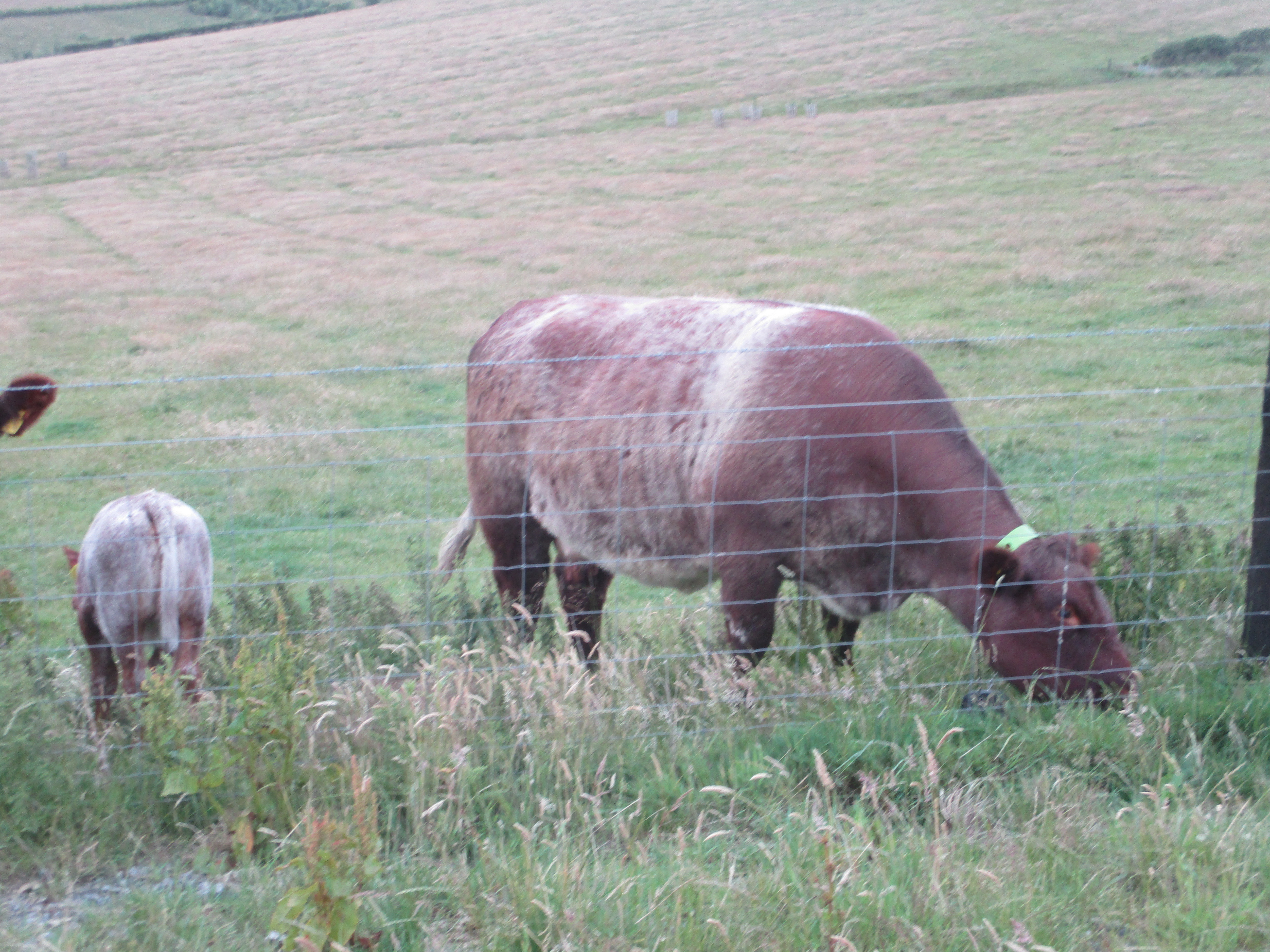
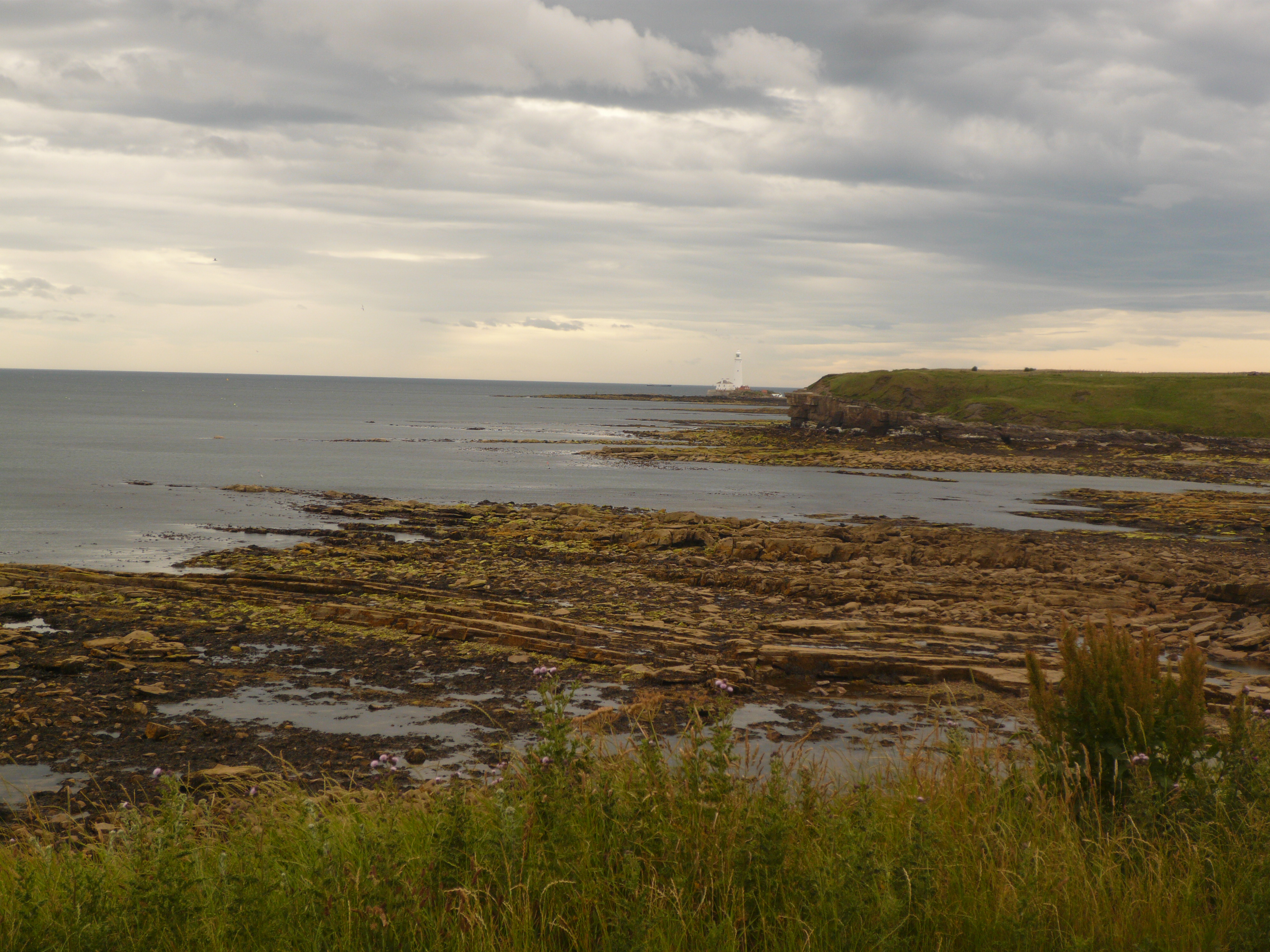
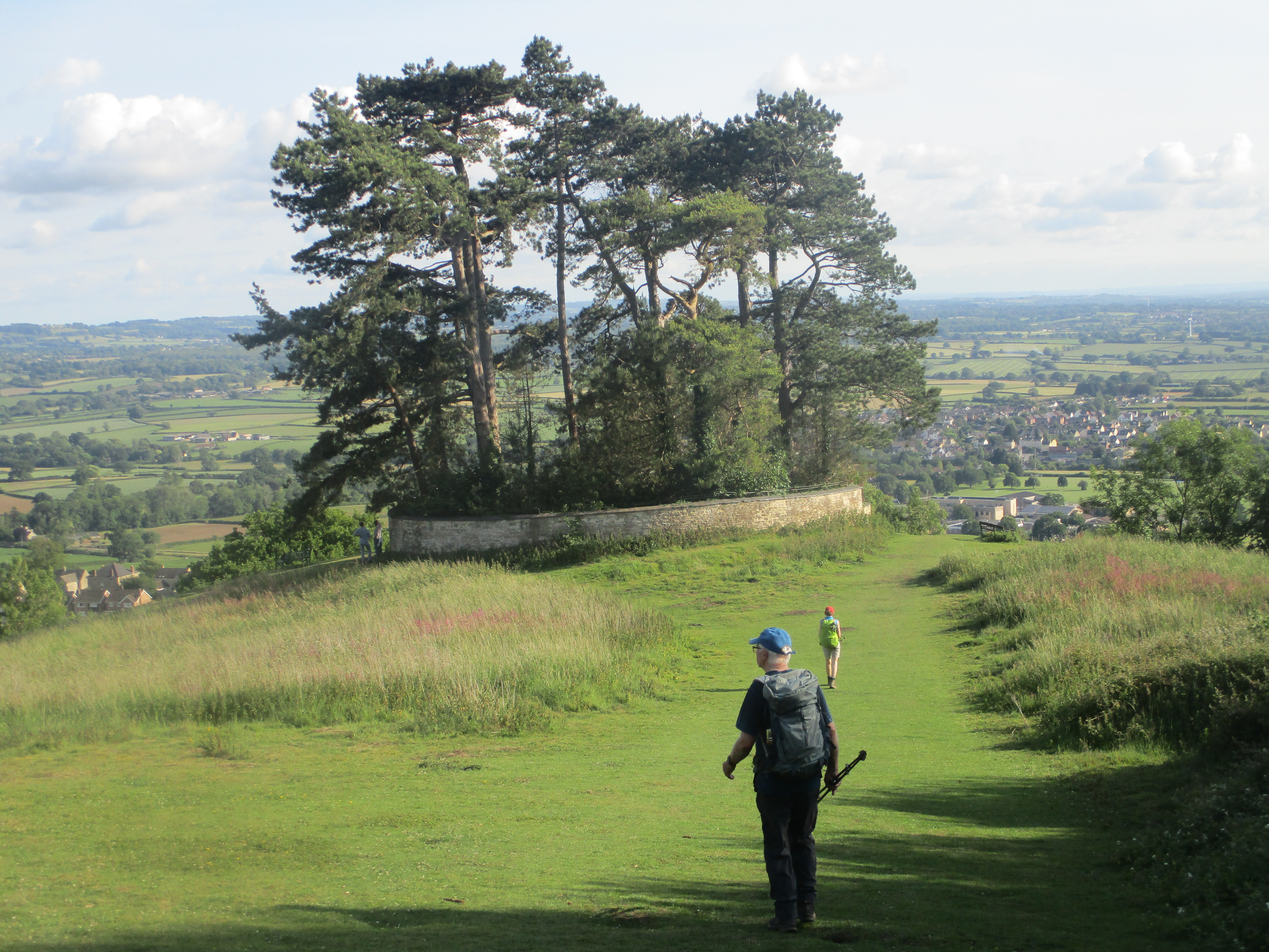
A few more pictures


.jpg)