Translate

Saturday 25 February 2023

The bird men of Gosforth

The Birdmen of Gosforth February 24th

Four gadgies are on holiday, two have family visitors and one is recovering from an operation and would like a short easy walk to aid his recovery and start his road back to fitness. To aid recovery four of us still free and at home are having a gentle wander round the reserve in Gosforth Park that is run by the Natural History Society of Northumbria. The reserve is open to members but visitors can enter for a £5 fee, reclaimed if you join. We are members. Membership cards are checked at the entrance which has a Welcome Hut and a classroom, and a toilet, available for hire and popular with groups of children.

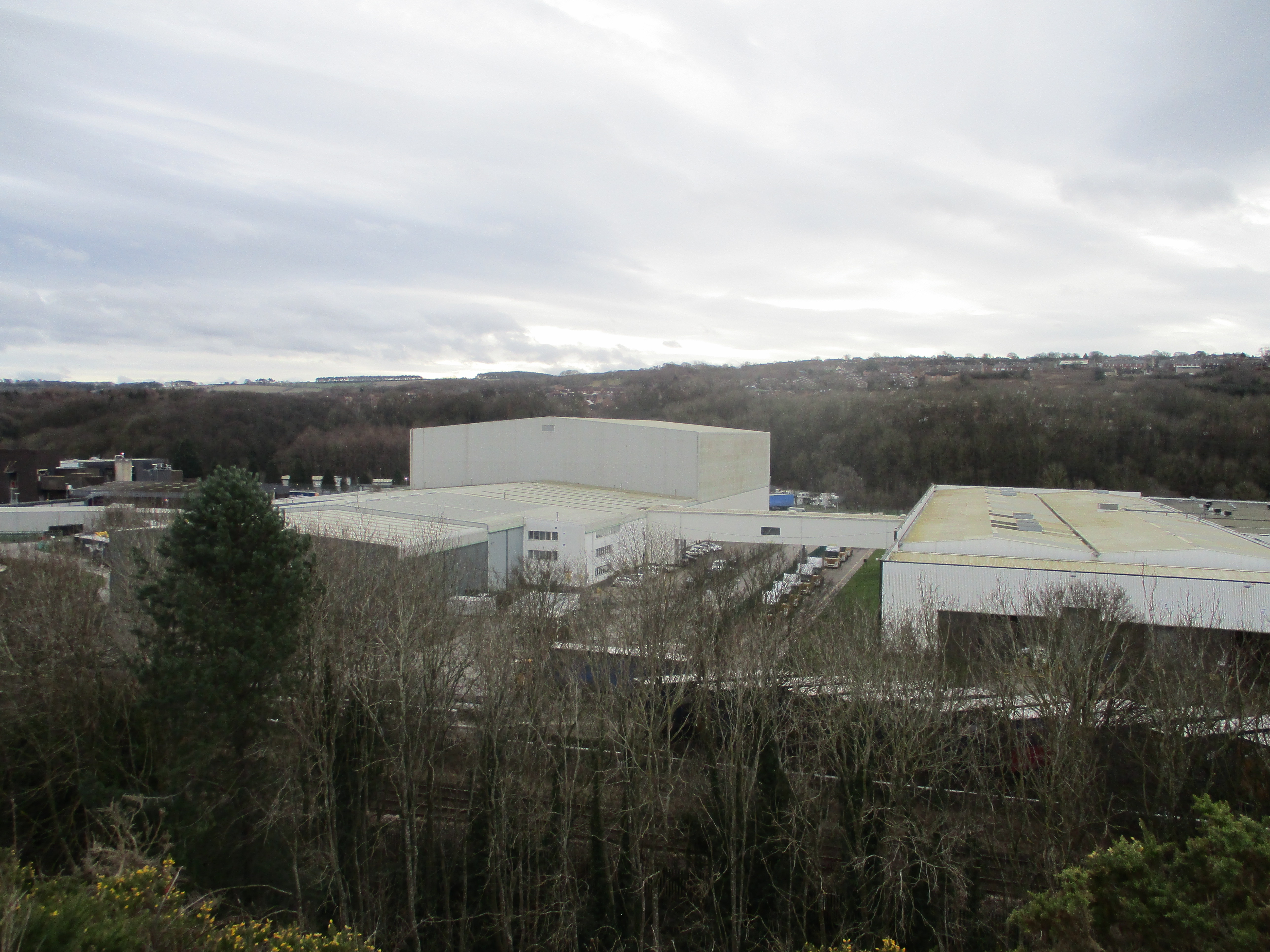
Thge reserve is on the Killingworth Road, opposite the gigantic Greggs pasty factory. (A189)


 Top: Classroom. Bottom:Welcome hut. (and bike racks)

Immediately behind the Welcome Hut is the first bird hide.  Through the narrow windows we watched nuthatches and tree creepers running down and up trees. A variety of tits feasting on the variety of seeds in a variety of feeders, blackbirds digging under the leaves on the ground, a woodpecker and a charm of goldfinches tackling the teazels.


View from the first hide.

having watched for a while we followed the footpath on the edge of the reserve. In a field beside it there was a trio of deer, taking it easy.

              A distant view of deer. I only have a compact camera.

An earth closet, better than nipping into the bushes.

Further along the path we turned right, walked the boards to a second hide with an upstairs and a down stairs and a view over the lake.


Platform on the lake to encourage terns perhaps. Plenty of grey lags and Canadas on the water plus swans, coots, teal, mallards, little grebes and at least one heron. We searched the reeds in vain for a booming bittern. Not spotted but seen on a previous occasion.

Moving on again we came to a third hide that was being renovated. The men working on a new section of board walk said we could go in. Another two storied affair with a different view of the lake.

Continuing on our journey we walked to the north side of the lake, next to the Newcastle Race Course and spent some time looking at the water through the windows of a shelter, not a hide. The warden on the gate had told us of another hide close to this but it was obviously well hidden, we failed to find the path that led to it and walked back to the reserve entrance.

                bench for visitors to rest or enjoy their lunch

                                   Bug hotel by the benches.

Nobody was recording distance but probably less than three miles in total.

After the walk we went to  the Job Bulman, a Wetherspoons just off Gosforth High Street. It used to be a post office. Abbott of course and coffee for the driver.


                      Back to walking next week!


Sunday 19 February 2023

Three bridges and the Spetchells

Three bridges and the Spetchells. (Northumberland) February 19th.

A Sunday walk with the Greens, that collection of lovely people who have invited us gadgies to join them on their walks. Today about twenty people are off on a Tyneside walk from Wylam, small town on the banks of the Tyne some 15 miles west of Newcastle. 

The walk is covered by OS Explorer 316 Newcastle upon Tyne but is not essential.

There is a car park in Wylam close to the Wylam Bridge and railway station. It's free and usually quiet but today I managed to get the last spot.

Car park at Wylam, somebody  got lucky and arrived a somebody left.

Leaving the car park we crossed the road that leads to the bridge, walked past a row of pretty cottages next to the dismantled railway and headed for Hagg Bank Bridge.


              The Tyne and Hagg Bank Bridge that used to carry a railway across the river. Not far across the water the tracks joined the Newcastle to Carlisle Railway. Bridge number 1
The walk is now along the River Tyne Trail and has markers provided  by the Daft as a Brush cancer charity. Mostly quite close to the river the path is below the Spetchells. 
The Spetchells are a kilometre long man made mound consisting of rock and clay. The name is of uncertain origin but there is no doubt about the origin of the mounds.  During WW2 ICI had a plant here that produced fertiliser for farms and explosives for the armed forces.  The waste of Calcium Carbonate was dumped and covered with soil and greenery to camouflage it from enemy bombers. Now the mound supports a variety of trees and chalkland plants - and bees. Must come back in summer.

                                     An introduction to the Spetchells.
We continued our walk beyond the mounds to, and under Ovingham Bridge to the Tyne Riverside Country Park which has a cafe and conveniences.

              Mural at the park and bridge number two, Ovingham.
After a short break we turned back, walked to the western end of the Spetchells and then climbed the staircase to the top, apart from Sarah who scrambled up a chalky face.


                            Sarah on the slope and the staircase the rest of us climbed.
At one point on the top of the mounds where we had a good view of the river we called a Herbie although I suppose the Greens are not familiar with the term.


                                  A Victorian pumping house close to the Tyne.
Lunch over we followed a footpath down from the Spetchells and wandered around Hagg Bank (More stairs) until we were back at Hagg Bank Bridge again.
Once over the old bridge we took footpaths through the Haughs (Grassy area by a river you may recall), walked the edge of the Wylam Cricket Ground ( a six would land in the water) and followed the Tyne Trail back to Wylam Bridge (Bridge number 3)
 Once we had gone under the bridge  we took the Tyne and Wear Heritage trail to Stephenson's Cottage.

Wylam Bridge and Stephenson's cottage. George Stephenson, generally considered to be father of the railways was born here. His engine, the Rocket, won the famous Rainhill Trials on the Liverpool to Manchester Railway, the first passenger (and freight) line in the world if you ignore the Stockton to Darlington line.
Past the cottage we turned left, crossed fields to a track that went to Rift Farm. From the farm a slightly muddy footpath took us over ancient slag heaps now overgrown and back to Wylam.
 We crowded into the Fox and Hounds pub for refreshment, they had Timothy Taylor's Landlord and I was driving. Heineken zero alcohol is wet.
Contains OS data copyright. Crown copyright and database right 2023.
A map of two halves 
The walk is about seven miles and easy going, apart from the 70 steps.


Saturday 18 February 2023

The Sluice the dene and the Lighthouse

 The sluice the dene and the lighthouse. February17th

The met office has predicted that storm Otto will hit northern Britain for most of the morning so the planned walk from the seaside village of Craster has been postponed and a more local walk will replace it.

Starting and finishing at Seaton Sluice a village on the coast a few miles north of Tynemouth, walking in what is hopefully the sheltered Holywell Dene and calling in at St. Mary's Lighthouse.

OS Explorer 316 Newcastle upon Tyne covers the walk.

We parked in a layby opposite the Waterford Arms pub, famous for its fish and chip lunches. (across the road is the Harbour View Fish and Chip shop, also famous for its lunches and takeaways) The pub overlooks the small Seaton Sluice harbour.

In 1676 the local landowner  Sir Ralph Delaval had sluice gates built on the Seaton Burn to help remove silt from the harbour. To make access to the harbour easier Sir John Delaval had the cut excavated in the 18th century to make life easier for ships captains. The sluice has gone, the cut remains.

The Delavals lived in nearby Seaton Delaval Hall. an early 18th century hall designed by Vanbrugh.


Car parking and harbour view at Seaton Sluice. The harbour exported coal, salt and glassware.

Ready to go and prepared to battle storm Otto we headed down some steps and carried on under the fairly modern road bridge on the east side of Seaton Burn. Flat and grassy tom start with, an easy introduction to the day's walk. At the first footbridge we crossed the stream and followed the slowly rising path up Holywell Dene.


In the dene, stream and bird feeders. A few daffodils had bravely emerged too.

Approaching an old railway bridge, left from the days of mining in the area, we left the dene, walked the old railway for a short distance before turning off left on a footpath that took us to Holywell Pond Nature Reserve.

                All quiet on the Holywell Pond
                 In the hide. We had planned to make the hide a Herbie but Otto was blowing straight in through the observation slits so we moved on to make use of a comfortable bus shelter in the village of Holywell. We shared cherry tarts, cookies, savoury tarts and fruit cake from Mrs A.

     Strother Farm opposite our lunch spot, also known as the Manor House. Dates from 1654.
Lunch over we headed down the road to the burn, down steps, under the bridge and back into the dene.
(Original plan on the map below is a continuous line. Because we changed dining arrangements we followed the dotted line.)
This part of the dene has several flights of steps, good for the muscles. At the point whee the path meets the dismantled railway we left the dene and walked the old line as far as Briar Dene Farm.

Having walked round the farm buildings we took the footpath (slightly muddy) crossed another dismantled railway and emerged on Blyth Road, next to a cemetery.
From here we went down the road and along a stretch of promenade towards St. Mary's Lighthouse.
                   St.Mary's. A sign points out the dangers of crossing the causeway when the tide is coming in. There is a colony of seals on the island but we didn't feel brave enough to plodge across.
From the lighthouse we followed the England Coast Path round Collywell Bay and Charley's Garden back to the sluice.
For an after walk rest and drink we went to the King's Arms pub which is next to the cut. Lovely pub, several hand pulled beers including Abbott and one from the Lancaster Brewery named Lancaster Blonde which I felt I must try having lived in the city for about 15 years. Very quaffable too.

Contains OS data, copyright. Crown copyright and database right 2023.
The walk is about 7 miles, easy going with a few short climbs.