Translate

Saturday 30 April 2022

Walking from Warenford

 Walking from Warenford   (Northumberland) April 29th

A new walk! Warenford is a village on the A1 North of Alnwick so finding it is simple. Drive north on the A1 until you get there. No car park so we left vehicles on the street.a grand turnout of eight, almost a football team, provided we were playing the walking version of course. (Dave, Harry, Brian, Ian, John x3 and me)

Warenford has little to offer apart from the pub, the White Swan. The map for the walk is OS 340 Holy Island and Bamburgh.


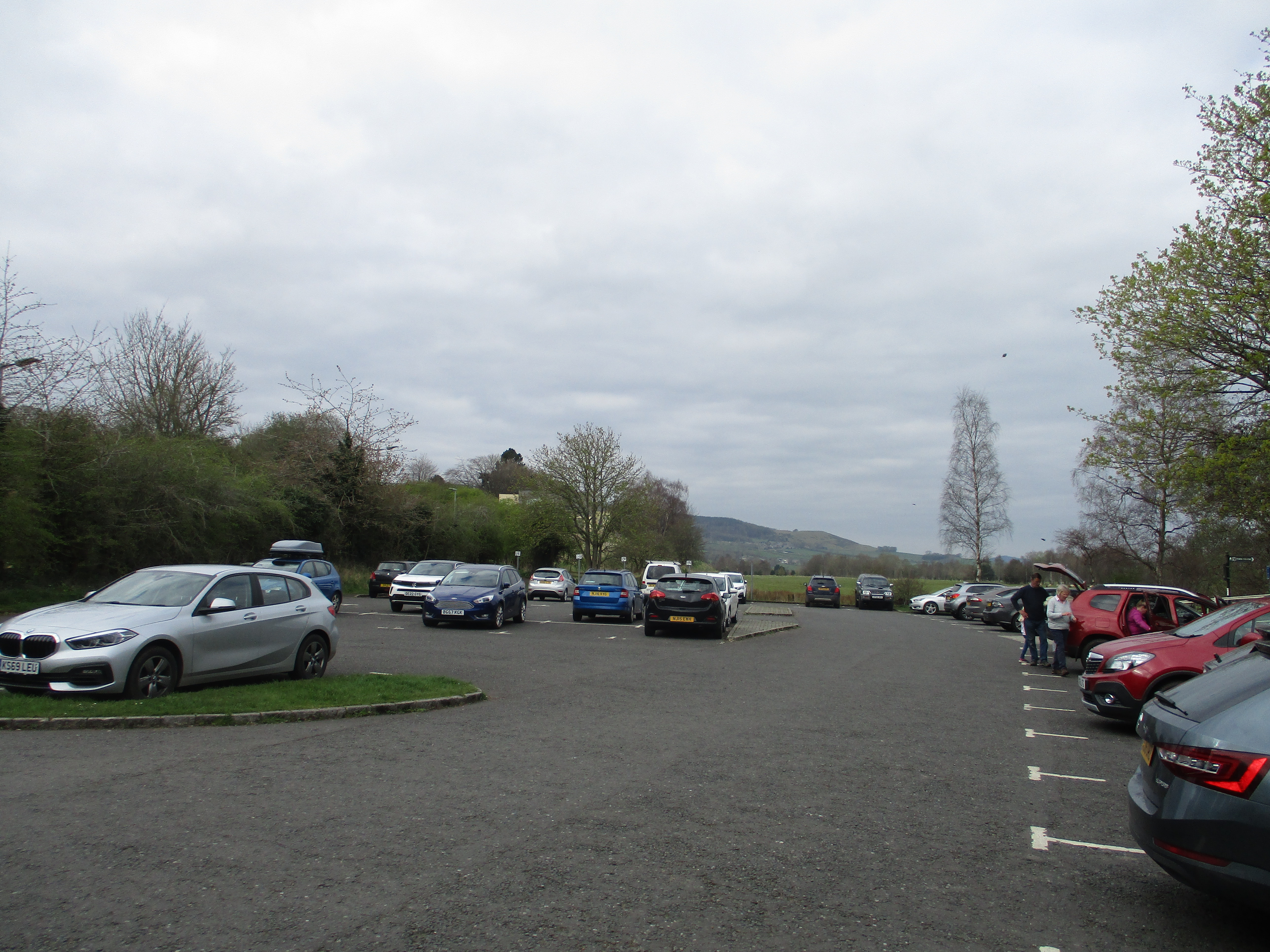
                  Parking in Warenford. We just managed to squeeze three cars in.

Looked at sideways on on the map, this walk is a Christmas tree, starting, and ending near the White Swan Inn. From the layby we walked back towards the A1. At the last house but one on the right we followed the narrow spikey footpath towards some steps up to the A1. This road is difficult to cross. It is the main east coast route from England to Scotland and long stretches of it, like the bit near Warenford is a single highway. And it is busy. And if it were in the south it would have been upgraded to a dual carriageway long ago. If you follow this walk, take care and write to your MP.


             A rare quiet moment on the A1 at Warenford.

Once over the eight of us followed the finger post into a field recently prepared for the planting of potatoes, so we, being good gadgies, walked round the edge, alongside South Dean and Whinny Plantation before heading north towards the Mill Dam on Cocklaw Dean. (mile 1) Heading west trough the wooded dean we came to open moorland populated with sheep,  lambs and cattle


                 The track, and much of this walk is on farm track or quadbike track, continued west on the edge of Brownridge Plantation. On a patch of open moorland, sitting in the sun on a grassy bank we called a halt after only 3.5 miles. Nearby a sheep appeared to be giving biorth to the second of its lambs. The first hovered round mother, hoping for a feed but eventually she wandered off, leaving the bleating lamb.

             Flapjacks, snickers, apple pies, almond slices, savoury and sweet from Mrs A, sent with Brian.
                              Lunchtime view of the Cheviot Hills.
Full we continued westwards for a short time to Coalhouses where we turned south east crossing moorland again. On the map there are some cup and ring marks noted but we didn't find them, probably didn't look too hard. Seen one set of cup and ring marks you've seen most of them. 
A shepherd, riding a quadbike rather than walking with a crook, stopped. We told him about the lost lamb, he was aware of it.

Just a boy and his dog, and a few admirers.
We followed farm tracks going south east towards Chatton Sandyfords farm (mile 6) with only a few stiles or fences to negotiate. Near three Burns Ford we turned north west and called a second halt for the day for a brief rest on a cairn near mile 7. Dave the archaeologist assured us it was a burial cairn rather than a clearance one. he would be right.

                     HS2* in a burial cairn.  Probably that of some Iron age chief.
Rest over we followed paths through fields to South Moor plantation (mile 8) and then turned north towrds the farm at Rayheugh.

                        Rayheugh has calves and a boat!
Not far from the farm we came to the A1 BUT, on the left there is a gate and footpath that crosses fields . It runs parallel to the road but at least is off it. Unfortunately near Warenford there is no alternative but to dodge the traffic on the A1, walk a short distance along it and turn into Warenford.
Changed we headed for the White Swan Inn in the village. Lovely pub with restaurant and several rooms. Three hand pumped beers, Pagan Queen, IPA and another whose name I forget but this hostelry is well worth a visit.

Contains OS data. Copyright. Crown copyright and database right 2022
The walk is 10 miles long. easy going with very little climb.
* A note for non British readers. HS2 is the name given to the High Speed railway being built slowly from London to Birmingham. HS is of course a Herbie Spot, hence HS2. Just in case you wondered.
And some nice pictures:
                                 The White Swan Inn Warenford

                                    More storm damage
                           Automated scare crow


Saturday 23 April 2022

Walking in Weardale

 Seven go off to Weardale. (Durham) April 22nd.

Due to the ongoing but possibly fading pandemic it has been some time since the gadgies have visited Weardale.

 Weardale is the next dale of size south of the Tyne, it flows from the Pennines to Sunderland, via Durham and several other towns. Today's walk is from Wolsingham, one of the smaller valley towns. Reached by heading west on the A69, South on the A68 and following signposts or using a GPS. Approaching the town centre look for a sign saying "DEmesne Mill and Picnic spot" and Long stay parking. Turn right into it. 

The walk is covered by OS OL31 North Pennines and OS Explorer 305 Bishop Auckland.

  Car park and picnic spot next to Waskerley Beck in Wolsingham.  Lots of space and free.
The name Wolsingham is Saxon from Waelsingas, meaning thes ons of Wael. The ham bit is a hamlet or manor house. Centuries ago it was part of the Bishop of Durham's hunting forest, second in size to the New Forest. Nice job if you could get it.
We left the car park, turned right and headed for the main street. One of the party, who shall remain nameless, made use of the rest room or comfort station as Americans like to say and was left behind. Unable to spot the team he wandered along the road, crossing the beck before realising he was going in the wrong direction. Turning back he spotted the finger post, walked through a caravan park and got a phone call saying "Where are you?"  As  he reached a road bridge a truck stopped, the driver said "Your mates are looking for you. " He pointed the lost soul in the right direction and soon the group were walking together along the Weardale Way on the south side of the river of the same name, the Wear.


                         Weardale Railway and path on the bank of the river.
The footpath crosses the river and the railway and follows close to the bank before it leaves the water and climbs towards Bradley Cottage which is marked by a broken bench. Using forest tracks the Way goes through Black Bank plantation (mile 3). Emerging we headed downhill passing Bracken Hill (mile 4 plus a bit). back in woodland the path heads down towards the river. In spite of the dry days the  track here was muddy. We crossed the Wear using a footbridge, crossed the railway, crossed an industrial site and arrived at a farm; Low Barperley, printed in Gothic script on the OS map.

                            Top; footbridge across the Wear. Bottom more railway line. Not a working line anymore but trains run for excursions.
From the farm (mile 5) we headed on a good track north west, observing the large number of trees blown over in the winter storms. Crossing the A689, with care of course, we walked uphill across fields towards Old Park. Somewhere along the way, at mile 6 approximately we stopped for a belated lunch,  sharing apple pies, Mars Bars, flapjacks and almond slices. Mrs A (and Brian) are on holiday.
Moving on the route crossed fields with friendly heifers and caring sheep till we reached Mill Lane.


       After a short walk on the track we took off left following the well marked route on green tracks , passing Greenwell Hill and Heartwell Plantation. (mile 8) . At the end of the plantation, almost  we turned south and followed a footpath which was steep in parts and had more than its fair share of stiles, some wobbly, some narrow with stone pillars. Fortunately we are all slender but elderly gentlemen.......
Eventually we hit the town, followed a footpath through an estate and returned to the car park. 
Then we went home, it was very early, nobody needed rehydrating.

Contains OS data, copyright. Crown copyright and database right 2022.
About 9 miles in length the walk is easy going with some climbs, but not steep. Mostly well marked with Weardale Way or the yellow footpath arrows.


Saturday 16 April 2022

A Good walk on a Friday

 A Good walk on a Friday. (Northumberland)

April 15th.

Once more to Rothbury dear friends once more. A Good Friday walk for six little gadgies on a familiar path, with a slight variation.  We are John H., John Ha., Harry, Dave, Brian et moi

To reach the start A1 North, A697 at Morpeth on the road to Wooler, turn off at Weldon Bridge. In Rothbury turn left down Bridge Street, cross the river and turn right into the large and free car park.

The maps for the walk are: OS OL 42 Kielder Forest and OS 332 Alnwick and Amble.


           The car park at Rothbury. Free and busy because today is a Bank Holiday in the UK

Leaving the car park we walked back towards the road bridge across the River Coquet but just as we reached it almost turned back on ourselves and started the day with a short climb up the road that became a track that crossed the fields that hit the junction near The Tower in Gothic font. This part of the day is on St. Oswald's Way.

From here we took the road left but soon turned right onto the track that passes Sharp's Folly.


 Sharp's folly. It could do with a trim on the top.

Beyond the folly we followed the track named Hillhead Road on the OS map, crossing fields to Curlew Cottage which had a fine children's play house. (St Oswald has left about half way to the cottage)


                            Curlew cottage house of fun.

Beyond the cottage the path goes round Whitton Hillhead Farm and then gently drops to a track running parallel to the road that runs the edge of the wood on the side of Simonside.

A reminder of the damage done by the winter storms.

                       Taking care of her baby

The path from here heads roughly north across fields (with stiles) until it reaches the small collection of houses named Newtown. Turning left here we followed the road for a short distance before taking the footpath across fields (a lot of fields today) to the River Coquet. Walking along the bank we soon came to the footbridge, crossed and took the footpath that follows the river and then the Wreighburn to the village of Thropton.

                             They are playing Pooh sticks in the Coquet
                                                   River Coquet near Thropton

                                              Thropton. It has a good pub too.

At Thropton we turned right and crossed the Wreighburn using the footbridge attached to the narrow road bridge. Having safely crossed we headed uphill towards the Cross Keys pub hoping there would be seating for a Herbie. As there wasn't we returned to the bridge and took the footpath close to the bank. We did however, declare a Herbie as several of the team were feeling peckish. No seats so we sat on the ground.

                 Herbie time. We shared flapjacks, Skinny whip bars, ginger biscuits from                        jesmondcakecompany.com  a maker of fine vegan cakes. We also had savoury tarts and chocolate cake sent today by Mrs A as she had stayed at home to supervise work on the house.
After the break we followed the footpath over a rickety rackety footbridge which was quite troll free, crossed a road, negotiated a stile and headed across fields towards Snitter Mill. Near the mill we turned sharp right, turned left on a road, passed a small holding with a wayside fruit, veg and egg stall before turning right at a large house called Lynnholm.
The track here was lined with gorse bushes in full bloom, narrow and scratchy in places but we walked on. Finding a sign post we turned right and walked uphill on a narrow footpath through the heather, good for cleaning boots but also lethal if you are not careful. Still, falling onto heather is not too painful.
Eventually we reached one of the many tracks and carriage drives that cross the moors above Rothbury, turned right and walked steadily downhill to the road that goes back into Rothbury. Walking down the main street we soon came to the lane just before the church that took us to the river. Crossing the river by the footbridge we were back at the cars.
On the way home we stopped at the Shoulder of Mutton in Longhorsley which had Directors, Timothy Taylors an Yorkshire Blonde on offer. Heaven in a pint glass.

                                   Footbridge near the car park


Contains OS data, copyright. Crown copyright and database right 2022
(I forgot to put mile markers on but the Herbie Spot would be at the four mile marker.

The walk is 8 miles and a little bit. Mostly easy going and mud free.