Bird watching in Berwickshire (Scotland) May 24th.
The town of Berwick upon Tweed is in England, the old county of Berwickshire (before it became part of the Borders Region) is in Scotland. Such is British logic.
Seven of us are off to St. Abbs Head not far over the border to have a walk and watch the sea birds which abound in the nature reserve of St. Abbs Head, a rocky promontory.
Named for St. Ebba who opened a monastery there in the 7th century for monks and nuns. She also founded a monastery in Ebchester, Northumberland.
The seven, mostly armed with binoculars are Brian, Ray, Dave, Ben, Harry, John H .and me. To get to the start, in Coldingham, drive up the A1, cross into Scotland (no border post yet) and turn right at the sign post for Eyemouth. Drive past this Scottish answer to Berwick to Coldingham and turn right down to Coldingham Bay where there is a large and free car park.
(On the journey we stopped for breakfast at Summerhills farmshop/restaurant in Belford. Well worth the delay too.)

Summerhills, so good it deserves a photo.
 The car park at Coldingham Bay. The motor cycles belong to four German gentlemen on their way back to the ferry on the Tyne.
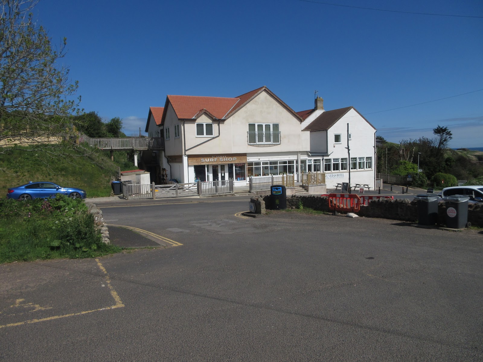
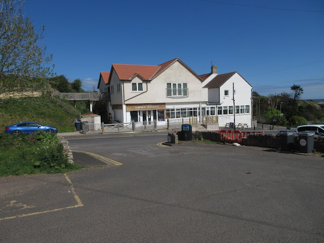 St Vedas surf shop/ bar/restaurant opposite the car park.
This walk is possible without a map as it is well posted but the 1;50000 OS Landranger sheet 67 will suffice and the car park is at GR NT 915665.
Leaving the car park we walked down to the beach at Coldingham Bay, climbed steps up to the coastal path and down steps to the little harbour of St. Abbs. A few fishing boats and a diving shop and school and then up steps again, passing the memorial to lost fishermen and their families in a great 19th century storm.
 The sands of Coldingham

 The harbour and lobster pots
 Memorial stone
After a short walk along the road past the village hall and the church we turned right and walked the footpath alongside a wall before coming out into open seaside country, the path being high on cliff edges, passing some interesting looking rocks too.
 An interesting rock, the lobster's claw.
The footpath stays close to the sea mostly but turns inland a little as it goes near the ruins of St. Abb's Kirk, not that there's much to see. Part of the walk has been fenced off as it is the home of the Northern Brown Argus Butterfly. We saw a couple, they are small but by the time cameras were out, turned on, switched to Macro, they had gone.
 To the lighthouse


 At this point, Pettico Wick, I was talking to a young couple from Birmingham who had no idea that North East England and South East Scotland were so beautiful. I asked, as usual, they keep it to themselves.


The town of Berwick upon Tweed is in England, the old county of Berwickshire (before it became part of the Borders Region) is in Scotland. Such is British logic.
Seven of us are off to St. Abbs Head not far over the border to have a walk and watch the sea birds which abound in the nature reserve of St. Abbs Head, a rocky promontory.
Named for St. Ebba who opened a monastery there in the 7th century for monks and nuns. She also founded a monastery in Ebchester, Northumberland.
The seven, mostly armed with binoculars are Brian, Ray, Dave, Ben, Harry, John H .and me. To get to the start, in Coldingham, drive up the A1, cross into Scotland (no border post yet) and turn right at the sign post for Eyemouth. Drive past this Scottish answer to Berwick to Coldingham and turn right down to Coldingham Bay where there is a large and free car park.
(On the journey we stopped for breakfast at Summerhills farmshop/restaurant in Belford. Well worth the delay too.)

Summerhills, so good it deserves a photo.

This walk is possible without a map as it is well posted but the 1;50000 OS Landranger sheet 67 will suffice and the car park is at GR NT 915665.
Leaving the car park we walked down to the beach at Coldingham Bay, climbed steps up to the coastal path and down steps to the little harbour of St. Abbs. A few fishing boats and a diving shop and school and then up steps again, passing the memorial to lost fishermen and their families in a great 19th century storm.


After a short walk along the road past the village hall and the church we turned right and walked the footpath alongside a wall before coming out into open seaside country, the path being high on cliff edges, passing some interesting looking rocks too.

The footpath stays close to the sea mostly but turns inland a little as it goes near the ruins of St. Abb's Kirk, not that there's much to see. Part of the walk has been fenced off as it is the home of the Northern Brown Argus Butterfly. We saw a couple, they are small but by the time cameras were out, turned on, switched to Macro, they had gone.
There is a lighthouse and fog horn on St. Abb's Head and, like several other groups and couples we decided to sit, backs against the white wall, sun on faces and have lunch.


Lunchtime in the sun. Some of us shared savoury scones, courtesy of Mrs A. ginger biscuits from Ben, flapjacks, lemon slices and Titans from ALDI.
Lunch over we resumed the walk but soon came to a halt again to watch the birds nesting on the rocks beyond the lighthouse. Literally thousands, razorbills, terns, puffins, fairly ordinary gulls, kittiwakes and gannets sailing by out at sea in groups of four or larger flotillas.


Birds on the rocks. Need a telephoto lens.
Pushing on we walked to Pettico Wick and then came down from the cliffs and walked along the north side of Mire Loch.


Mire Loch
At this point the team got split up. Ben, Ray, John and Brian were ahead, Harry and Dave were in the middle. I saw the first four walk across the dam at the end of the loch but did not see them turn and head up the far side. When I crossed the loch I came to a track and assumed that's the chosen track. I followed the track, which became a road, passing the visitor centre and café, back to the village. And from the village I walked the footpath above the beach back to the car park. Dave and Harry had seen me walk up the track and followed, stopping for coffee and ice cream before returning to the cars. The others followed the coastal path round Coldingham Loch and eventually back to the the cars by road. Short walk for me, Harry and Dave!
On the way home we stopped at the Cook and Barker, popular pub and restaurant at Newton on the Moor. Black Sheep and Graphite, a new one to me and too sweet.
St. Abb's Head is a beautiful walk, especially on a sunny day and if you have an interest in sea birds, short or long version it is well worth doing.

Contains OS data, copyright. Crown copyright and database right 2019.
AND A MATRIX FOR THE SHORT WALKERS MMXIX 5d
steps miles
NAK 17823 6.46
Dave's NAK 1 13939 6.6
""""""""""""""2 13918 6.59
""""""""USB 13538 6.41
"""" SM 13833 6.55
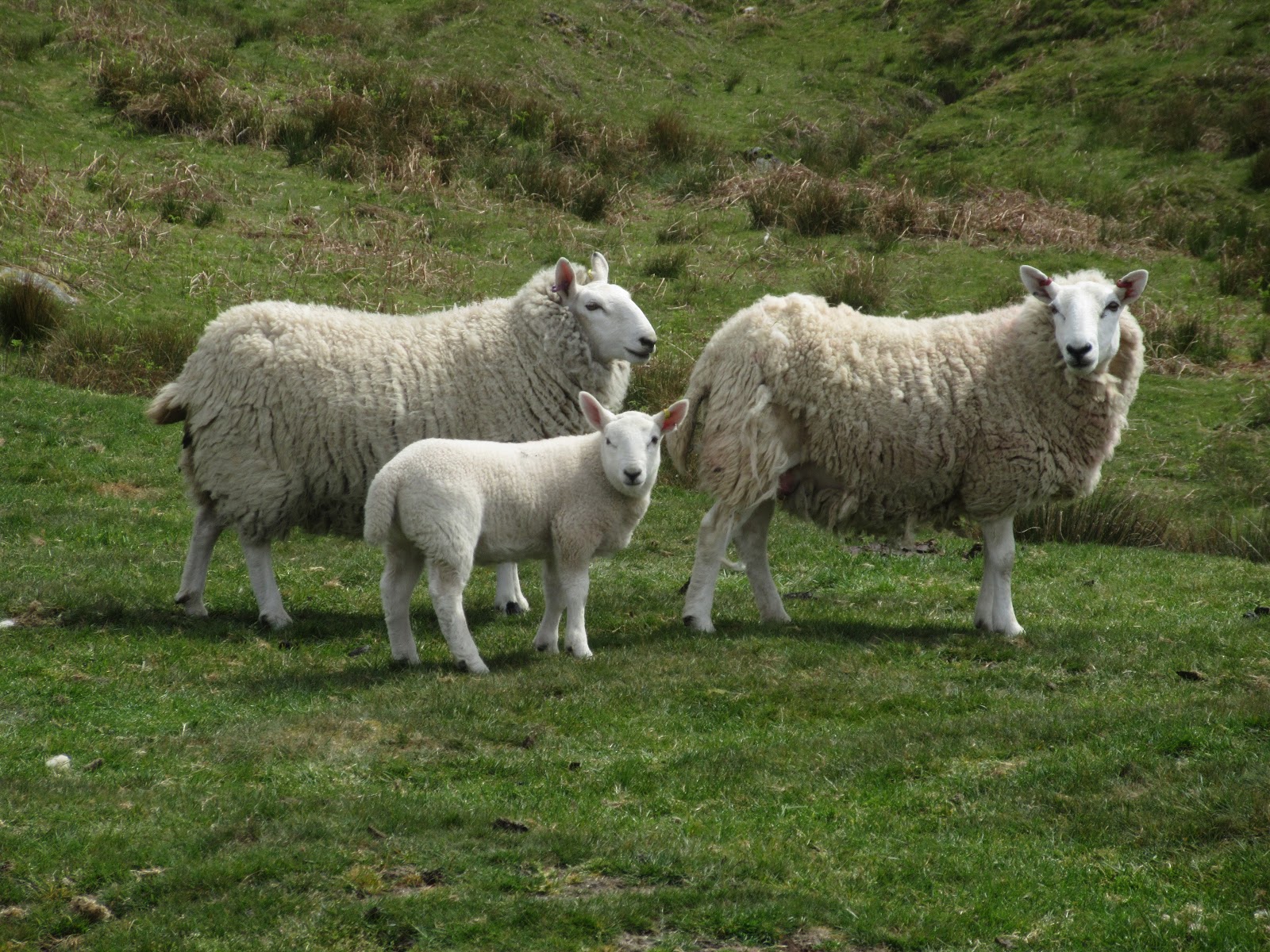
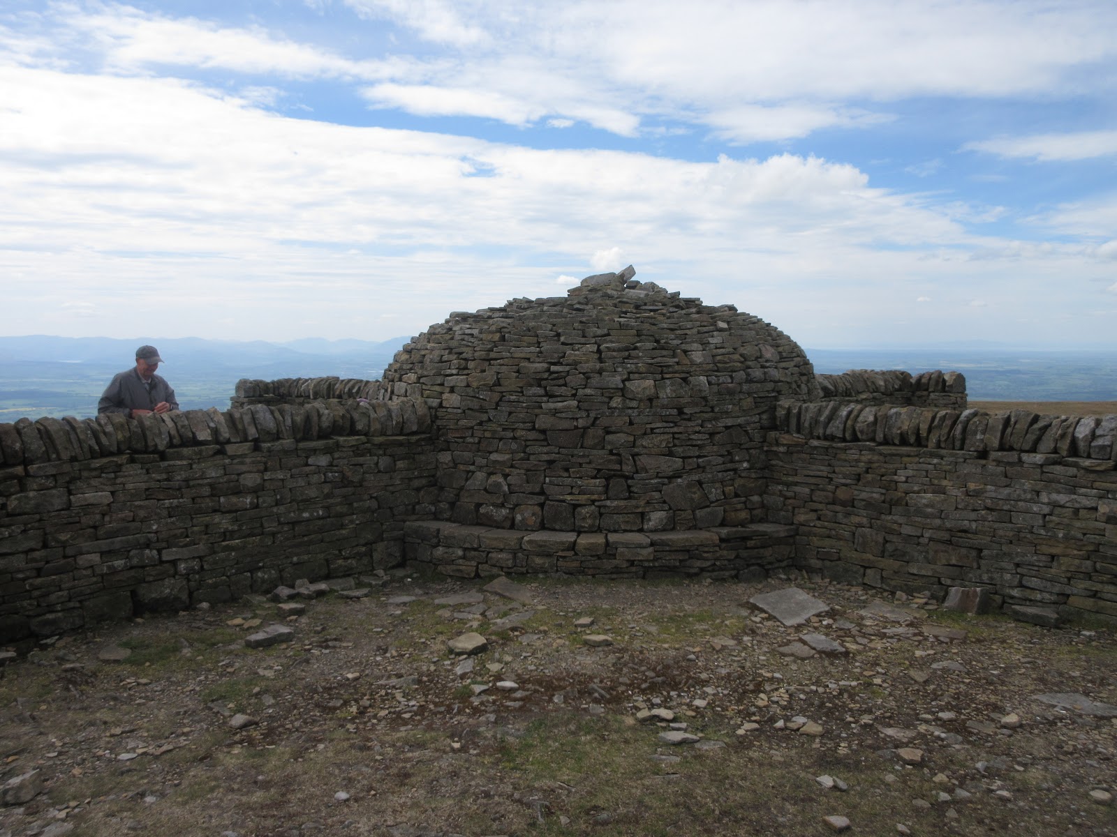
AND A FEW MORE SUNNY PICTURES