Reservoir Blogs II.. (Durham) January 26th.
Warning; this walk can seriously dirty your boots
The little snow we had has gone. The weather girls says it will be bright but cold so we are off to Wolsingham in Weardale for a walk round Tunstall Reservoir.
Seven of us, John x 3, Brian, Harry, Ben and me, equipped with OS OL Explorer 31, North Pennines and OS Explorer 307, Consett and Derwent Reservoir.
(Or go to www.wolsinghamwayfarers.co.uk The site lists walks in the area of various lengths and difficulty. Number three is Tunstall Reservoir. The leaflet can be downloaded. It has a map and lists points of interest. The leaflet is also available at some places in the town.)
From Newcastle take the A69 west, the A68 south and follow signs on minor roads for the small town of Wolsingham. The name comes from "Waelsingas" a Saxon family who ran the place. It is an ancient market town, once popular with the Bishops of Durham as it was in their hunting grounds. Bishops seem to have had a good time hunting in Weardale, their favourite forests being limited by Eastgate and Westgate and they had a nice retreat at Bearpark (Beau repair). The church in Wolsingham, St. Mary and St. Stephen has origins in the 12th century. In 1864 Charles Attwood opened an iron works, the works have gone but his house remains. And there is the heritage railway that runs very close to the town.
Breakfast at the Number 10 café, not quite Tiffany's but the bacon sandwich Brian had was a sight to behold.

 Car parking and café in Wolsingham.
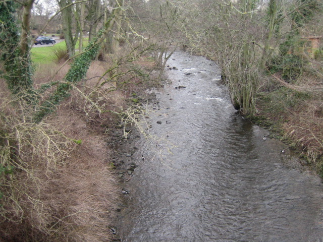
After breakfast we drove the few hundred yards to the car park next to the Waskerley Beck and booted up.
 Although in County Durham this is a Yorkshire car park. (ie, it's free)
Once we were all ready, coated and hatted against the cold, we set off, following the footpath on the south side of the stream. ( Do not cross the wooden bridge.)
After about a half mile close to the bank the footpath heads off in a north west direction across fields which were very muddy today, partly because of last weekend's snow which had melted and partly because of the animals which churn up the soft earth.
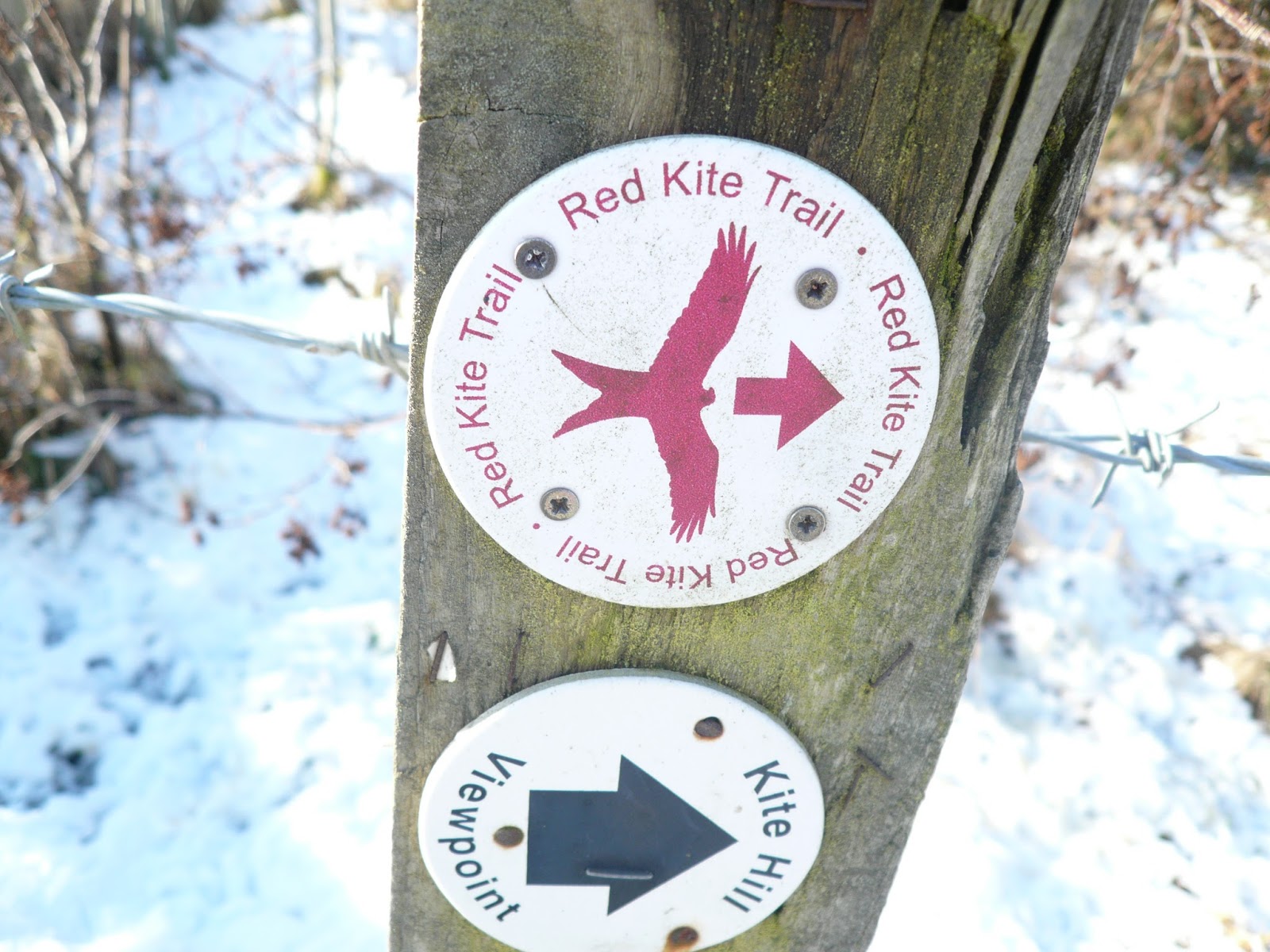
 This walk is well marked, follow the yellow/black signs.
The path is straight, crosses several fields alongside a wall, goes through numerous gates and stiles to Park Wall. (Near mile 2 on the map)
Here the path turns through90 degrees and goes north east, edging fields and crossing them, passing High Joffless, more fields and finally reaching the road near the dam at the south end of the reservoir.
About half way up the water we stopped at a small car park and picnic area for a Herbie Spot.
The area swarmed with geese and ducks which demanded our food. They failed in their efforts although one stole half of John's ginger biscuit and one climbed on somebody's lap.
 Ladder stile at Park Wall. These stiles are getting harder to climb.


Herbie time. Pork pies, gingers from Ben, peanut cookies, Hungarian chocolate (the last, sadly), lemon cake from Mrs A).

 Herbie time and an extra car park
Feeding over we walked along the muddy footpath next to the water (You can go on the road) to the top end of the reservoir where we entered Backhouse Wood and Backstone Bank Wood.
 The entrance to Backhouse/Backstone Woods
The footpath, which was very muddy, follows close to the banks of the reservoir all the way to the dam.

 The earth dam; looks as if it has been recently cut.
Leaving the water we walked uphill (first steep climb of the day) to a farm. From here we turned south and followed a rough track initially. It then became a footpath across fields, one of which had been a turnip field. The sheep had left bits of turnip and lots of mud, boots were getting heavier.
 About to head south at Backstone.
 Information board.
Having struggled through the clarts and been thankful for the grassy tracks we reached Baal Hill House(mile 7)
More fields to Holywell Farm and a road. After examining the Holy Well which had a pretty patch of snowdrops we turned right on the road and almost immediately turned left on a footpath across fields (muddy) and back to Wolsingham and the car park.

 In case you are wondering, Finchale Priory(pronounced Finkle) is a few miles north of the city of Durham.
As we approached the end of the walk some of us walked into the beck to wash the mud off our boots..A crocodile of primary school all clad in hi viz vests children, one teacher at the front, one at the back, passed us. All were friendly "Hi guys, had a good walk?" shouted one.
Changed we headed for the Boathouse pub at Wylam, not far west of Newcastle in the Tyne Valley.
This pub usually has at least twelve real ales on hand and we were not disappointed today.
I opted for one pint of Secret Kingdom and one of Tyneside Blonde. Both good.
 The Boathouse bar. Sorry about the Fosters.
Slightly shorter than our usual walks at 7.5 miles this is a grand little ramble, open fields, wood and water and views across Weardale.
Dave was not with us so there is a limited matrix:
Matrix MMXVIII
steps miles
iPhone 18020 7.6
NAK 22179 9.1 (generous as ever)
OUTDOOR GPS 7.5
Garmin 7.44
Brian 7.5
Walking time 2h 45 min Talking time 1h 17min

 Contain OS data. Copyright. Crown copyright and database right 2018


Warning; this walk can seriously dirty your boots
The little snow we had has gone. The weather girls says it will be bright but cold so we are off to Wolsingham in Weardale for a walk round Tunstall Reservoir.
Seven of us, John x 3, Brian, Harry, Ben and me, equipped with OS OL Explorer 31, North Pennines and OS Explorer 307, Consett and Derwent Reservoir.
(Or go to www.wolsinghamwayfarers.co.uk The site lists walks in the area of various lengths and difficulty. Number three is Tunstall Reservoir. The leaflet can be downloaded. It has a map and lists points of interest. The leaflet is also available at some places in the town.)
From Newcastle take the A69 west, the A68 south and follow signs on minor roads for the small town of Wolsingham. The name comes from "Waelsingas" a Saxon family who ran the place. It is an ancient market town, once popular with the Bishops of Durham as it was in their hunting grounds. Bishops seem to have had a good time hunting in Weardale, their favourite forests being limited by Eastgate and Westgate and they had a nice retreat at Bearpark (Beau repair). The church in Wolsingham, St. Mary and St. Stephen has origins in the 12th century. In 1864 Charles Attwood opened an iron works, the works have gone but his house remains. And there is the heritage railway that runs very close to the town.
Breakfast at the Number 10 café, not quite Tiffany's but the bacon sandwich Brian had was a sight to behold.


After breakfast we drove the few hundred yards to the car park next to the Waskerley Beck and booted up.

Once we were all ready, coated and hatted against the cold, we set off, following the footpath on the south side of the stream. ( Do not cross the wooden bridge.)
After about a half mile close to the bank the footpath heads off in a north west direction across fields which were very muddy today, partly because of last weekend's snow which had melted and partly because of the animals which churn up the soft earth.

The path is straight, crosses several fields alongside a wall, goes through numerous gates and stiles to Park Wall. (Near mile 2 on the map)
Here the path turns through90 degrees and goes north east, edging fields and crossing them, passing High Joffless, more fields and finally reaching the road near the dam at the south end of the reservoir.
About half way up the water we stopped at a small car park and picnic area for a Herbie Spot.
The area swarmed with geese and ducks which demanded our food. They failed in their efforts although one stole half of John's ginger biscuit and one climbed on somebody's lap.


Herbie time. Pork pies, gingers from Ben, peanut cookies, Hungarian chocolate (the last, sadly), lemon cake from Mrs A).


Feeding over we walked along the muddy footpath next to the water (You can go on the road) to the top end of the reservoir where we entered Backhouse Wood and Backstone Bank Wood.

The footpath, which was very muddy, follows close to the banks of the reservoir all the way to the dam.


Leaving the water we walked uphill (first steep climb of the day) to a farm. From here we turned south and followed a rough track initially. It then became a footpath across fields, one of which had been a turnip field. The sheep had left bits of turnip and lots of mud, boots were getting heavier.


Having struggled through the clarts and been thankful for the grassy tracks we reached Baal Hill House(mile 7)
More fields to Holywell Farm and a road. After examining the Holy Well which had a pretty patch of snowdrops we turned right on the road and almost immediately turned left on a footpath across fields (muddy) and back to Wolsingham and the car park.


As we approached the end of the walk some of us walked into the beck to wash the mud off our boots..A crocodile of primary school all clad in hi viz vests children, one teacher at the front, one at the back, passed us. All were friendly "Hi guys, had a good walk?" shouted one.
Changed we headed for the Boathouse pub at Wylam, not far west of Newcastle in the Tyne Valley.
This pub usually has at least twelve real ales on hand and we were not disappointed today.
I opted for one pint of Secret Kingdom and one of Tyneside Blonde. Both good.

Slightly shorter than our usual walks at 7.5 miles this is a grand little ramble, open fields, wood and water and views across Weardale.
Dave was not with us so there is a limited matrix:
Matrix MMXVIII
steps miles
iPhone 18020 7.6
NAK 22179 9.1 (generous as ever)
OUTDOOR GPS 7.5
Garmin 7.44
Brian 7.5
Walking time 2h 45 min Talking time 1h 17min