Translate

Saturday 30 July 2022

Wolsingham walk

 Reservoir blog III, Tunstall. Durham July 29th


  Holidays and family commitments have reduced the team again. Five of us, John H. John L. Ian, Dave and I are off on a walk from the small Weardale town of Wolsingham in County Durham.

From Newcastle take the A69 west, A68 south at the Corbridge roundabout and keep going until there is a sign post sending you off to Wolsingham on the B6296

As you enter the town watch out for the brown sign directing you to the DEMESNE car park on the right almost immediately after you cross the Waskerley Beck.

The walk is covered by two OS maps: OSOL 31 North Pennines and OS Explorer 307 Consett and Derwent Water.

Prize winning car park in Wolsingham. Free with a bench or two for boot changing.
Ready for the walk we left the car park and headed back up the B6296 on foot until we reached the second road on the left (by point 176 on the OS map). At this point we turned left and, climbing steadily past Thistlewood Hall and House to Thistlewood Farm where the road became a track. (mile 1)
                           Looking over Weardale

                       I think that makes it clear. 9/10 for spelling?
Beyond the farm the track, still climbing, crosses fields, passing a Trig point at a height of 353 metres (mile 2) and continues north until a point where we turned south west (mile 3).
From here we walked a gravelled path downhill until we reached a bridge over a feed stream for Tunstall Reservoir.

                     A view from a bridge.
On the far side of the bridge we took the footpath on the edge of the reservoir, having carefully read the many warning signs that the water could be deep, paths could be slippy and so on. The path, well worn came to a halt by a gate and stile  (mile 4)and we had to join a road to take us to the picnic spot/fishermen's cabin where we called a Herbie.
With an audience of geese and ducks we shared apple pies, carrot cake slices, chocolate biscuits and ginger biscuits.


                                Geese and ducks at the picnic spot.
One of the fishermen showed us some photographs of the reservoir when it had been drained, fairly recently, to fix a leak. Fish had been saved and the reservoir is frequently restocked.
Lunch over we had no choice but to walk along the road to the dam, which we crossed and headed up Backstone Bank. (mile 5)


Water works below the dam, view from the dam.
                               Backstone Bank Wood

In Backstone Wood we climbed for a while on a track to a farm where we took paths across fields heading south to Baal Hill House.

            This rusting horse powered hay rake brought back childhood memories.
The next farm we reached was Holywell Farm, named presumably for this:


Holywell. Should you be interested it's pronounced Finkle. The abbey ruins are a few miles north of the city of Durham.
Having admired the well we walked along the road and back to the car park. Changed we headed to the Wellington pub in Riding Mill for rehydration.

Contains OS data, copyright. Crown copyright and database right 2022
The walk is about 7.5 miles, mostly easy going with some short climbs.


Sunday 17 July 2022

 Hot time in Biddlestone. (Northumberland)            July 17th

Another extra walk with the Greens. A total of  12 walkers, possibly the largest party I have walked with, excluding school trips, for a long time.The UK is suffering a heatwave, causing more panic in the government than the people, the powers that be giving out endless warnings of the problems heat can cause. Today it might reach 30 in the north of England.

Well provided with extra water, sun cream and a selection of hats we met in the village of Alwinton.(North on A1, turn off at Morpeth to A697, turn off at Weldon Bridge for Rothbury. Through Rothbury and turn right at sign post, eventually reaching Alwinton. There is a car park charging a generous £2 or park for free on the grassy verge as you reach the village bus stop which probably never sees a bus)

The OS map OL  16  Cheviot Hills covers the walk.


This week's car park , the free one at Alwinton.

Leaving the grassy area we crossed the stream by means of a footbridge, turned left and headed up the track called Clennel Street. Someway up this track we turned through a gate on the right, crossed a field and reached the very minor road that follows the River Alwin.


                                Alwin River valley.

We followed the road, crossing and recrossing the river until we spotted the finger post that pointed the way to Old Rooklands. 

We were now on a footpath clinging to the valley side, knee deep in ferns. We turned north at one point then east until we reached a gate that made it clear we were not to go through it. Fortunately 100 yards away there was a stile and soon we were at the tumbled down remains of Old Rooklands where we stopped for an early lunch.


                Old Rooklands. I have been doing this walk for about forty years and the ruin gets a little worse every time. A few more hard winters before it is a pile of stones.
Lunch over we continued east, passing a small hut, before reaching a track, turning south east. Not far down the track we turned north towards Puncherton but before we reached that farm we spotted a marker and followed a footpath across Loundon Hill.
Somewhere down the hill we joined a track to Biddlestone Home farm.

                             A hazy view across the Coquet Valley to Simonside.

Reaching a road we turned right and continued on our warm way passing Rooklands farm, crossing fields and reaching the caravan and camp site at Clennel.


Rooklands and Clennel Hall.

Not far beyond the hall we crossed the Alwinton river again and followed the track back to the cars.

Taking government advice we went to the Rose and Thistle in the village to take some liquid on board.


Contains OS data, copyright. Crown copyright and database right.

The walk is about 7,5 miles with a couple of stiff climbs.


Friday 15 July 2022

Cotswolds Round

 The small world of the Cotswolds. July 2022

 I missed out on the West Highland Way walk this year with a knee problem, very disappointing. However, six of us are taking on a 92 mile walk in the Cotswolds, starting and finishing in Cheltenham, Gloucestershire.

Four of us from Tyneside: Brian and Margaret, Dave and I and from Cumbria Paul and Maureen. Five fit one with a bad knee.

There is a guide book for the walk: Heart of the Cotswolds by Christopher Knowles

The walk is covered by two OS maps:

OS OL 45 Cotswolds and OS Explorer 179, Gloucester, Cheltenham and Stroud.                                            Both highly recommended. The book has information on sites and sights as well as a guide to the route, which is not the Cotswolds Way although it covers part of it. It also follows several other marked walks; Gustav Holtz Way, Monarchs Way, McMillan Way, Winchcombe Way to name but four.

What follows is not a guide, just a report on our journey.

 Friday July 1st. The four from Tyneside shared the long journey in Brian's car, the Cumbrian couple met us at our first BnB in Cheltenham, Clematis Hose. Looking small from outside it had a touch of the Tardis about it, and a large garden at the rear.  A Belgian couple walking a similar route were also in Clematis House.                                                                                                                                                   After a meal in a nearby restaurant and a couple of pints in the Lansdown Hotel we settled down for the night.

Saturday July 2nd.                                                                                                                                           Breakfast over and suitcases packed ready to be taken on to the next hotel we prepared for the first 10 miles.

Five go off to Winchcombe. Looks like a wet day ahead.

Taking advice from Karen and Ken, the owners of Clematis House, we found a foot/cycle path nearby and followed it through houses and parks to Cheltenham Racecourse, no horses in sight. 

                                         A day at the races

                                         This part of the walk was on the Cotswold Way. (The acorn symbol is used in UK for long distance footpaths)

Leaving the path around the edge of the course we walked to the village of Prestbury and finally hit the countryside, heading uphill to Cleeve Common and the three aerials. The Belgian couple, truly enjoying the English rain, had stopped for a soggy lunch near the three masts but we wandered on.

Visible for miles, except when the cloud was low, which it was most of the day.

Beyond the aerials we joined the Winchcombe Way and followed it downhill to Belas Knap, an ancient but well preserved long barrow. Its entrance, undoubtedly used for ceremony and ritual made a good Herbie Spot. (No sharing on long distance walks)


                Bellas Knap, neolithic long barrow built about 3000 BC . When opened in the 19th century numerous skeletons were found.

Lunch over and no more rain but a drying wind we walked downhill to Winchcombe and headed for the White Hart Inn, the night's resting place, dining room and rehydration centre.


                              White Hart, Winchcombe.

According to the guide book this walk is 7.2 miles. Because of our starting point we did 10.2

The knee performed quite well.

Sunday July 3rd

Leaving the comfort of the White Hart Inn we took to the Winchcombe Way again towards Stanway. 

Not long into the walk we had a good view of a steam engine pulling a train along the Gloucestershire Warwickshire Railway.


 Having been brought up in the LMS region I had no idea what class of engine this is but it chugged up and down most of the morning.

Fairly easy walking through fields to Wood Stanway and Stanway where we met the Belgian couple again, enjoying a sunnier lunch.

            The team take a break at a memorial, but to what we don't know
                           Gatehouse at Stanway and a Ukrainian flag
We lunched near this magnificent copper beech. A troop of young ladies, laden down with full camping gear passed us, they were doing the Duke of Edinburgh award.
After lunch we carried on, along the Cotswold Way again until we reached Stanton, walked up a steep hill to the Mount Hotel/pub/restaurant and enjoyed a refreshing drink sitting outside until the rain came.

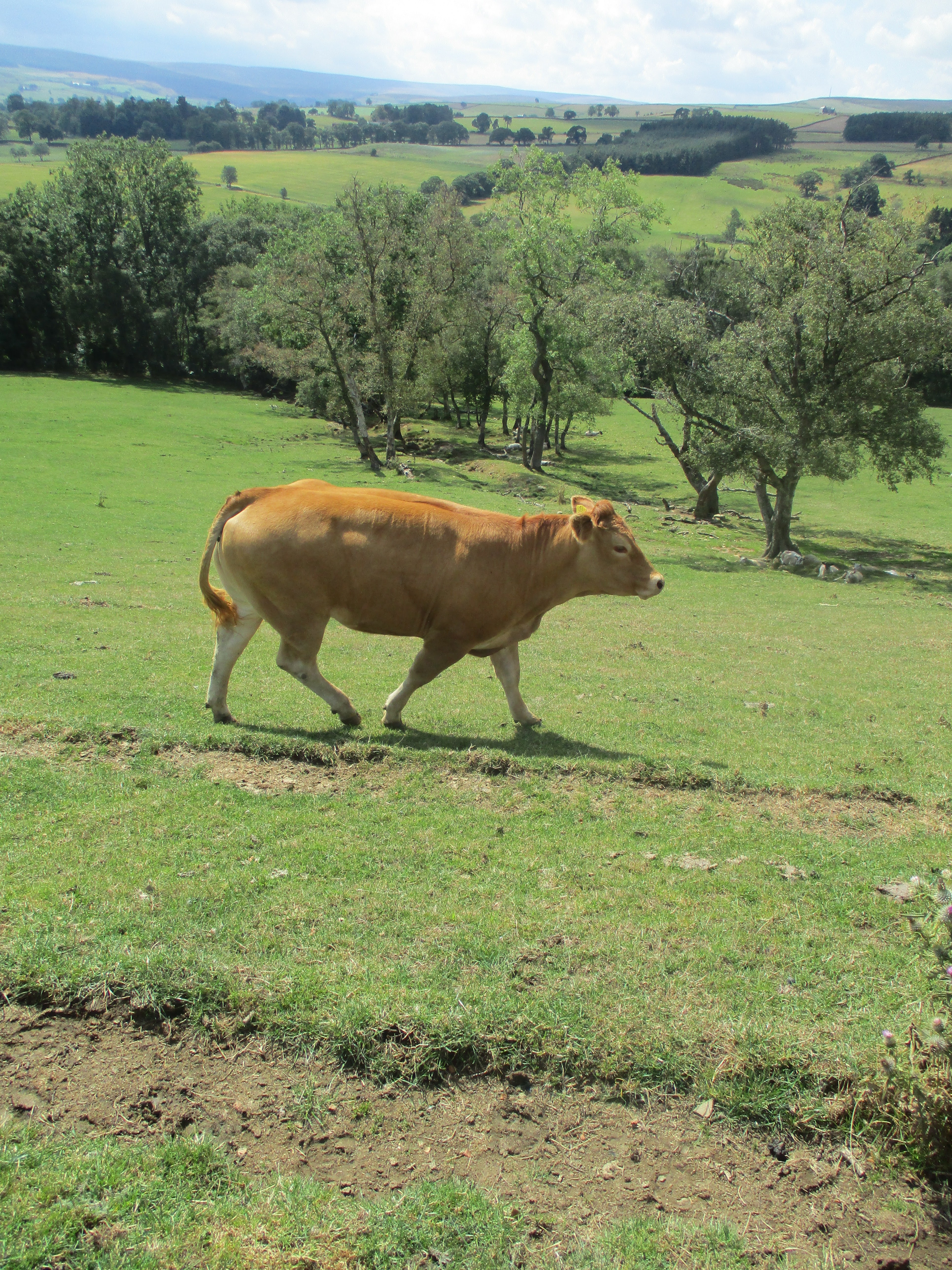
                                      The Mount 
Along the way we crossed fields with two parallel lines of young lime trees. In the hedge near them were flocks of butterflies, meadow browns in the hundreds and a scattering of marble whites and ringlets.
Eventually we made it into Broadway, another pretty Cotswold town and well named for its wide main street. Dave and I stayed in Windrush House, the rest stayed next door in Apple Tree but we all went together for an evening meal in the Crown and Trumpet. It served food and drink!
The walk today was 11.8 miles and the knee is showing it.


Monday July 4th.
 The knee is beginning to object. To make life easier I caught a bus from Broadway to Chipping Camden and waited for the others to arrive. Having ascended to Broadway Tower and almost been in a TV show they eventually appeared.

!7th century market hall in Chipping Camden, another lovely Cotswold town.
I wandered round Chipping Camden for a while, admiring the warm stone buildings, the parade of SUVs driven by young ladies with sunglasses on the top of their heads until the rest of the team arrived. It was time for lunch.
After eating we set off for Moreton in Marsh. At Broad Camden we came across The Monarch's Way for the first time:


                                 Having climbed down from the famous oak tree Charles II went walkabout, probably disguised as a woman at some point as most royal escapees did. Finally made it to Holland and returned in 1660 to be known as the Merry Monarch and a lover of oranges.
From Broad Campden we walked across fields to Blockley then on to pass the arboretum at Batsford before reaching Moreton in Marsh. We spent the night at the Redesdale Arms.
The knee managed 7 miles, the others walked at least 12.

Tuesday market at Moreton. The Redesdale Arms in the background. A small problem with dinner, namely our promised table was not available, was solved by a charming young lady who found room at the inn, so to speak.


Tuesday July 5th
The knee was no better. Rather than playing the hero, and listening to my medical advisor by phone I caught a bus from Morton to Stow on the Wold, leaving the more stalwart members of the team to walk.
Another pretty little town with a famous shop (Scotts of Stow) and a small square with some rotting stocks which were greatly admired by visiting Americans.

Americans were directed towards the tea shop but the church was far more interesting in Stow.
When the others arrived we lunched and headed for Bourton on the Water, making use of the Gloucester Way/Monarch Way/Heart of England Way/ McMillan Way, all in one. I think the last one is devised by McMillan Cancer as a charity walk, rather like The Daft as A brush charity has River Tyne walks.


We passed close to the villages of Upper and Lower Slaughter. Very much horse country with several impressive stables, and a field of goats although there were not many men talking to them.

Slaughters United cricket field, difficult to see the ball coming out of those trees!
Arriving in Bourton we headed for the Landsdowne Villa guest house where we were to stay for two nights.
The knee managed 5 miles, the team managed at least 12. Close to the guest house we found a delightful little pub, the Mouse Trap, very much a local but very friendly.
The knee managed 9 miles, the team at least 13.

Main street, Bourton on the Water


Wednesday July 6th.
Leaving Bourton I caught a bus to Great Rissington, found the others who were looking for me and we set off on a country walk to Northleach. Much of the path was through fields, wheat, barley and a huge field of peas, not quite ready. The ground was hard, the crops needed some rain. At Sherborne we made use of the tables outside the village hall for an al fresco lunch. Moving on we walked some distance on roads, which walkers never really like, to Farmington before reaching Northleach, small village, big square and a closed pub.
We were due to be picked up by taxi and on time, Boris the Bulgarian arrived and returned us to the Lansdowne in Bourton on the Water. The Mousetrap again!

                 Northleach square, closed pub on left of Takeaway.


Thursday July 7th.
Boris the Bulgarian took us back to Northleach. He then returned to Bourton to pick up the bags and move them on to Cirencester. The knee being bad I accepted his offer of a lift to Cirencester where we dumped the kit at the Fleece on the main street.
Cirencester was an important Roman town when Britain was part of the Empire. An estimated population of 10000 were entertained in an amphitheatre whose main stands remain.

When open for entertainment the amphitheatre held about 8000. When the Roman legions departed the arena was used for several centuries before falling into disuse . There would have been rows of seats for those watching, and probably albatross sellers.
Cirencester also has a museum displaying some Roman mosaics found nearby.

                     One small part of one mosaic. There were several, mostly intact and measuring about 4 x 4 metres.
The church of St. John the Baptist is a "wool" church, very large and financed by the profits from local wool merchants before the weaving trade moved up north to Yorkshire.
(


Church of St John the Baptist in Cirencester. The Fleece, our accommodation for the night is on the right.


Friday July 8th.
The knee has had enough. Rather than walk to Painswick I caught a bus into Cheltenham, passing the famous Ladies College and prep school. A second bus took me to Painswick, described by some as the "Queen of the Cotswolds". Having several hours to wait before the others arrived and we could go to Troy House for the night I walked several miles out into the country, and several miles back again.
And then we met Denise, landlady of Troy House.
There was something in the accent that made me think she was not a local. And no, she wasn't. A native of Whitley Bay she had  attended Blyth Ridley High School, leaving in 1979, five years before I went to work there. Still we had much to talk about, some of the teachers, tales of Blyth and the High Pit Club in Cramlington.
Painswick has a church, St. Mary's, which boasts 99 Yew trees in its grounds:

     St Mary's church in Painswick.
We had dinner in the Falcon Hotel, lucky to have got in without booking apparently

The team walked about 15 miles, I managed about 5.


Saturday July 9th.
The knee was bad. The bag man arrived about 9am and offered to take me to Cheltenham but he had a number of drops and pickups to make on the way. I accepted and had a grand tour  of Gloucestershire, visiting Bath, Stroud and Pennsylvania too. In a distant view of the Avon and Severn the towers of both Severn bridges were just about visible. Back in Cheltenham, too early to call at Clematis House I went for a walk on the old railway track we started on. Choosing a sunny bench for my very late lunch I was joined by a man walking stiffly with a crutch, He was determined to get to the pub to meet his mates, he was "running in" his prosthetic leg. He had not lost his leg trying to do 200mph on his motorbike he told me, he had been carrying heavy shopping and fell downstairs, breaking foot, ankle and leg. After several operations doctors decided he would be better off without the leg. 
He asked where I was from, I replied Tyneside. He reckoned we had probably met before, he ran the meat van on Newcastle's Sunday Quayside market and also went to Blyth, Ashington, Bedlington and when there was a market there, Cramlington.
The team arrived late afternoon at Clematis House, we had dinner in Giannis Italian restaurant and a few pints and a celebratory whiskey in the Landsdown pub.
The team did another 15 miler.


Sunday July 10th
Long drive home.

My congratulations to the team who had covered about 105 miles. The knee said no but promises to be OK for next year? West Highland Way? Dalesway? (K)nee bother as they say in Blyth.

All maps contain OS data, copyright. Crown copyright and database right 2022.
Maps to be updated eventually.

And a few pictures: