Reservoir blog III, Tunstall. Durham July 29th
Holidays and family commitments have reduced the team again. Five of us, John H. John L. Ian, Dave and I are off on a walk from the small Weardale town of Wolsingham in County Durham.
From Newcastle take the A69 west, A68 south at the Corbridge roundabout and keep going until there is a sign post sending you off to Wolsingham on the B6296
As you enter the town watch out for the brown sign directing you to the DEMESNE car park on the right almost immediately after you cross the Waskerley Beck.
The walk is covered by two OS maps: OSOL 31 North Pennines and OS Explorer 307 Consett and Derwent Water.

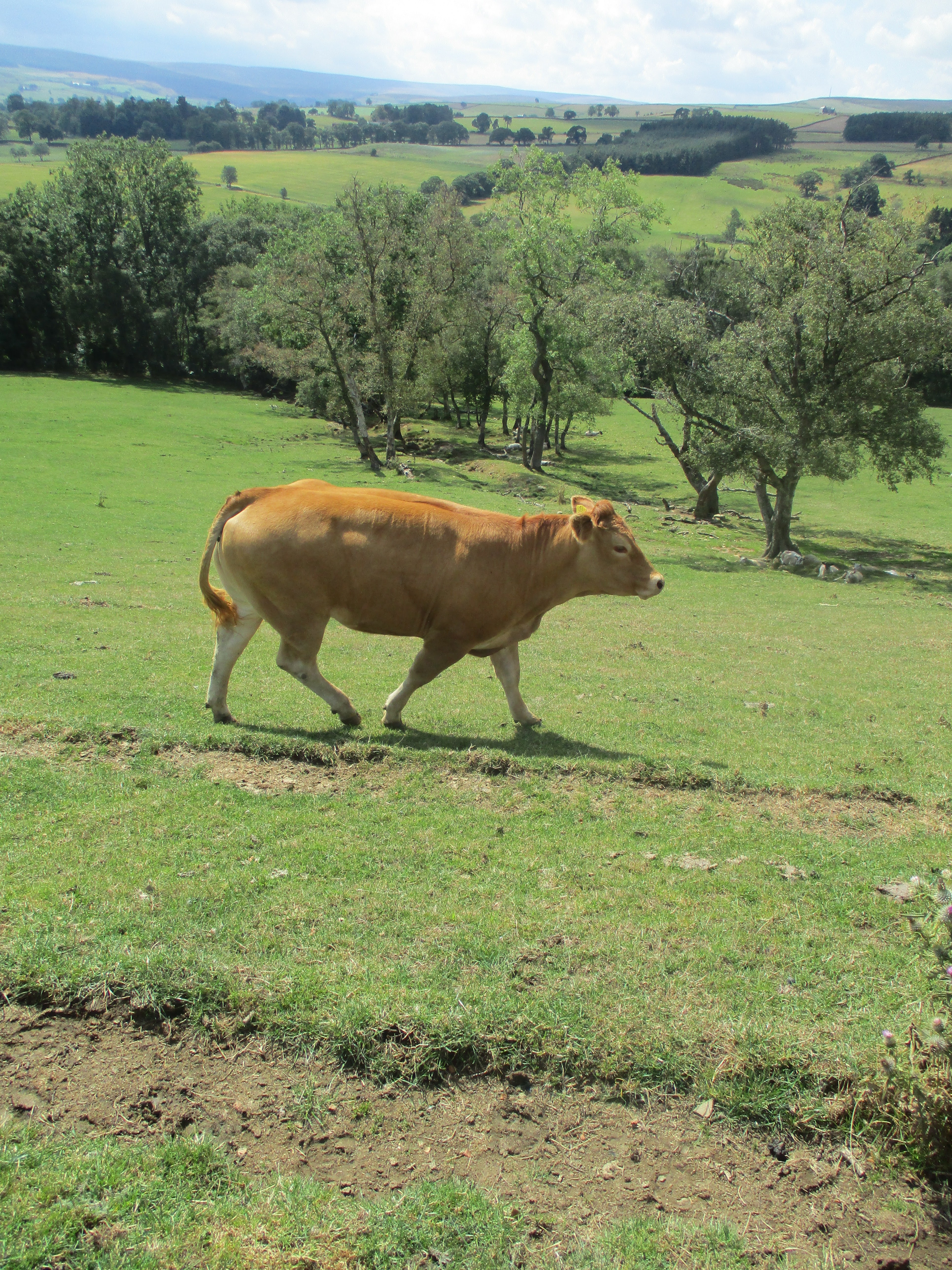
Ready for the walk we left the car park and headed back up the B6296 on foot until we reached the second road on the left (by point 176 on the OS map). At this point we turned left and, climbing steadily past Thistlewood Hall and House to Thistlewood Farm where the road became a track. (mile 1)


I think that makes it clear. 9/10 for spelling?
Beyond the farm the track, still climbing, crosses fields, passing a Trig point at a height of 353 metres (mile 2) and continues north until a point where we turned south west (mile 3).
From here we walked a gravelled path downhill until we reached a bridge over a feed stream for Tunstall Reservoir.

A view from a bridge.
On the far side of the bridge we took the footpath on the edge of the reservoir, having carefully read the many warning signs that the water could be deep, paths could be slippy and so on. The path, well worn came to a halt by a gate and stile (mile 4)and we had to join a road to take us to the picnic spot/fishermen's cabin where we called a Herbie.
With an audience of geese and ducks we shared apple pies, carrot cake slices, chocolate biscuits and ginger biscuits.


Geese and ducks at the picnic spot.
One of the fishermen showed us some photographs of the reservoir when it had been drained, fairly recently, to fix a leak. Fish had been saved and the reservoir is frequently restocked.
Lunch over we had no choice but to walk along the road to the dam, which we crossed and headed up Backstone Bank. (mile 5)


Water works below the dam, view from the dam.

In Backstone Wood we climbed for a while on a track to a farm where we took paths across fields heading south to Baal Hill House.


The next farm we reached was Holywell Farm, named presumably for this:


Holywell. Should you be interested it's pronounced Finkle. The abbey ruins are a few miles north of the city of Durham.
Having admired the well we walked along the road and back to the car park. Changed we headed to the Wellington pub in Riding Mill for rehydration.

Contains OS data, copyright. Crown copyright and database right 2022
The walk is about 7.5 miles, mostly easy going with some short climbs.


No comments:
Post a Comment