A short stretch of the Coast to Coast. (Lake District) May 11th.
The Coast to Coast Long Distance Footpath, devised by the sainted Alfred Wainright, is 192 miles long from St. Bees on the sea side of Cumbria to Robin Hood's Bay on the Yorkshire coast. Brian and Margaret are on the third day of their walk and Harry, Dave and I are going to join them on the short section from Stonethwaite in Borrowdale to Grasmere. It's a linear walk so if you follow it you need a car at either end or you can do as we did;
Drive to Keswick, catch a bus down Borrowdale to the road end near Stonethwaite, do the walk and finally catch a bus from Grasmere back to Keswick. Check timetables, there are not too many buses and the last bus back to Keswick is quite early.
Maps are advisable use OS OL 4 English Lakes North West for the start and OS OL 7 English Lakes South East for the second half. Or buy a map that covers the whole English Lakes.

This week's car park in Keswick. It costs £9.50 for a whole day's parking. Not a fee, a tax.
There are two buses that run down Borrowdale, we caught the 77A at 9.30 because we are gadgies and use bus passes. An interesting journey down the west side of Derwent Water to Grange where it crosses to the east. We got off at the road end opposite the track that goes to the YH.
We started the walk from here, and set pedometers. It is at GR NY 257142 on map 4.
 Follow the sign to Stonethwaite.
We walked to the Langstrath Hotel where B and M had stayed, realised we had made a small mistake, turned round and walked to Stonethwaite Bridge to meet them.
 Meeting up at Stonethwaite Bridge. It was cold and windy
From here the footpath, which is a bit rocky to say the least, follows Stonethwaite Beck, flat to start with before it starts to climb and changes name to Greenup Gill.
 Eagle Crag, on the right side of Stonethwaite Beck.
This being the Coast to Coast there was a steady stream of walkers, some British, some American and some Australian, and most qualified as gadgies. It's the grey £ or $ or A$
The path gets steeper, the scenery gets better, water tumbling down several falls. There are what I mistakenly called drumlins which are really named hummocky moraine, failed the Geography test again.
The last stretch of the climb is very steep but has been "stepped" in places making the ascent a little easier. One of the problems for the English Lakes is their popularity with walkers. In many places steeper slopes have large stones arranged as steps. Fine going up but coming down can be tricky if their are small stones on the steps, they act like ball bearings as Dave will testify. Take care.
 Greenup Gill fall
 The green lump in the centre top is a hummocky moraine.
The top of the climb is Lining Crag where we paused to admire the view and have our photo taken by a lady from Vermont. She told me they did have moonlight but it was usually cloudy and the mountains are green, but not as beautiful as the Lakes. How very polite.
 Harry, Brian, Margaret, me and Dave. (This is for the ladies in Goole and Forest Hall, you are not forgotten)
From here we continued to Greenup Edge and then headed east close to Calf Crag, Moment Crag and Pike of Carrs. The path here is very indistinct in places and the ground is boggy too. At almost five miles in we declared a Herbie, as did the party of Australians.
 The Australian party and a foot.
We shared Tunnocks caramel wafers, the last of the Czech chocolate and fruit cake from Mrs A.
Break over we continued over the soggy terrain, climbing over Gibson Knott and several other minor bumps until we reached Helm Crag an impressive bump with several rocky outcrops.
 The Howitzer on Helm Crag. I was tempted to pose on the top but remembered the words of SWMBO; "Stop doing silly things"
 The Lion and Lamb on Helm Crag. We called an extra halt here and called it HS2.
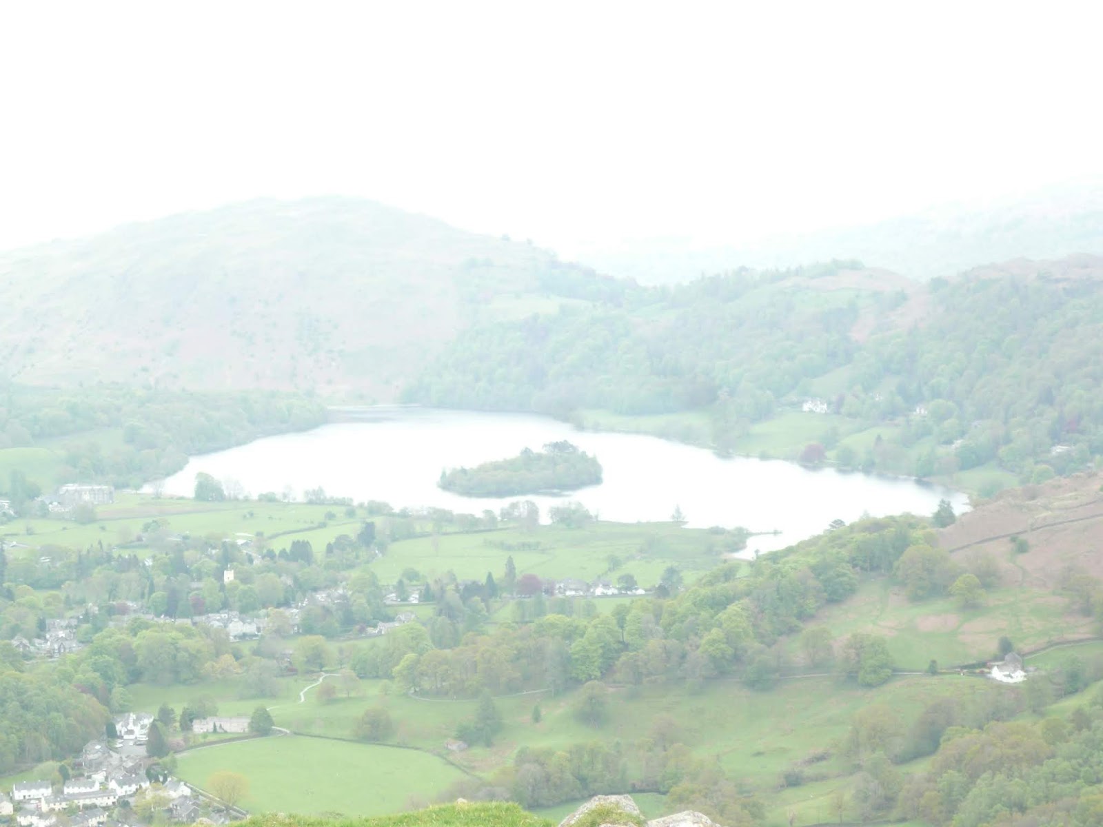
From Helm Crag there is a steep but stepped path which winds down the mountain eventually meeting a road at Lancrigg which has a café and a memorial to a certain William Wordworth the Wanderer. From here there is a footpath and then the road to Grasmere, the end of our walk.
Brian and Margaret were staying at The Inn so it seemed sensible to join them for a post walk drink there. The Marston's Pedigree was disappointing but the Jennings Cumberland was fine.
We wished them joy on the next 150 miles of walk and the three of us caught the 555 bus back to Keswick and from there drove home.
Today's super Matrix MMXVIII M2
steps miles
NAK 28816 10.91
iPhone 25197 9.85
OUTDOOR GPS 8.83
etrex 4hr 6 mins walking 1hr 55 talking 9.3
Dave's 3D 26292 11.31
"" USB 23595 10.42
"" NAK 22953 10.14
Sylvia's mother 25246 11.16
Garmin 21616 10.82
I'll settle for 9
 Contains OS data.Copyright. Crown copyright and database right 2018


The Coast to Coast Long Distance Footpath, devised by the sainted Alfred Wainright, is 192 miles long from St. Bees on the sea side of Cumbria to Robin Hood's Bay on the Yorkshire coast. Brian and Margaret are on the third day of their walk and Harry, Dave and I are going to join them on the short section from Stonethwaite in Borrowdale to Grasmere. It's a linear walk so if you follow it you need a car at either end or you can do as we did;
Drive to Keswick, catch a bus down Borrowdale to the road end near Stonethwaite, do the walk and finally catch a bus from Grasmere back to Keswick. Check timetables, there are not too many buses and the last bus back to Keswick is quite early.
Maps are advisable use OS OL 4 English Lakes North West for the start and OS OL 7 English Lakes South East for the second half. Or buy a map that covers the whole English Lakes.

This week's car park in Keswick. It costs £9.50 for a whole day's parking. Not a fee, a tax.
There are two buses that run down Borrowdale, we caught the 77A at 9.30 because we are gadgies and use bus passes. An interesting journey down the west side of Derwent Water to Grange where it crosses to the east. We got off at the road end opposite the track that goes to the YH.
We started the walk from here, and set pedometers. It is at GR NY 257142 on map 4.

We walked to the Langstrath Hotel where B and M had stayed, realised we had made a small mistake, turned round and walked to Stonethwaite Bridge to meet them.

From here the footpath, which is a bit rocky to say the least, follows Stonethwaite Beck, flat to start with before it starts to climb and changes name to Greenup Gill.

This being the Coast to Coast there was a steady stream of walkers, some British, some American and some Australian, and most qualified as gadgies. It's the grey £ or $ or A$
The path gets steeper, the scenery gets better, water tumbling down several falls. There are what I mistakenly called drumlins which are really named hummocky moraine, failed the Geography test again.
The last stretch of the climb is very steep but has been "stepped" in places making the ascent a little easier. One of the problems for the English Lakes is their popularity with walkers. In many places steeper slopes have large stones arranged as steps. Fine going up but coming down can be tricky if their are small stones on the steps, they act like ball bearings as Dave will testify. Take care.


The top of the climb is Lining Crag where we paused to admire the view and have our photo taken by a lady from Vermont. She told me they did have moonlight but it was usually cloudy and the mountains are green, but not as beautiful as the Lakes. How very polite.

From here we continued to Greenup Edge and then headed east close to Calf Crag, Moment Crag and Pike of Carrs. The path here is very indistinct in places and the ground is boggy too. At almost five miles in we declared a Herbie, as did the party of Australians.

We shared Tunnocks caramel wafers, the last of the Czech chocolate and fruit cake from Mrs A.
Break over we continued over the soggy terrain, climbing over Gibson Knott and several other minor bumps until we reached Helm Crag an impressive bump with several rocky outcrops.


From Helm Crag there is a steep but stepped path which winds down the mountain eventually meeting a road at Lancrigg which has a café and a memorial to a certain William Wordworth the Wanderer. From here there is a footpath and then the road to Grasmere, the end of our walk.
Brian and Margaret were staying at The Inn so it seemed sensible to join them for a post walk drink there. The Marston's Pedigree was disappointing but the Jennings Cumberland was fine.
We wished them joy on the next 150 miles of walk and the three of us caught the 555 bus back to Keswick and from there drove home.
Today's super Matrix MMXVIII M2
steps miles
NAK 28816 10.91
iPhone 25197 9.85
OUTDOOR GPS 8.83
etrex 4hr 6 mins walking 1hr 55 talking 9.3
Dave's 3D 26292 11.31
"" USB 23595 10.42
"" NAK 22953 10.14
Sylvia's mother 25246 11.16
Garmin 21616 10.82
I'll settle for 9


No comments:
Post a Comment