Tracking round Rothbury. February 7th
In an effort to keep on good tracks today's walk is a familiar one starting in Rothbury which has a large car park on the south bank of the River Coquet and a trendy cafe named Bewick's for a breakfast bacon butty.
The walk is covered by two maps: OL 42 Kielder and OS Explorer 332 Alnwick.
A team of ten, an embarrassment of cars, five, not exactly saving the planet but we all had our reasons. And the weather forecast promised us a cold dry day with an east wind offering some chill.
For regular readers, all three of them, this is a familiar car park.Coquet from the footbridge, looking west.
Another opportunity for Dave to say "You can call me AL". I'm sure one of them muttered "And I can call you Betty".
Tosson tower, 14th C Next to it was a large car advertising a Mole Hunter. There seems to be more moles about this year.
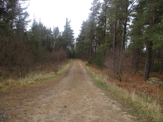
The track through the gate climbed steadily through woodland which had suffered in storm Ewon, longest uphill part of the day. Eventually we reached a junction, turned left and staying on a forest road came to a small car park and notice board.
Bonus car park today.
Staying on the forest track we soon reached the road and after a few hundred yards (at mile 6) went through a gate, through a wood and along a path to Whitton Hillhead and then Whitton Farm. From here we walked a good track, passing Dr. Sharp's philanthropic tower and finally reaching the car park.
Yes there is a tree growing on the roof.Contains OS data, copyright. Crown copyright and data base right 2025
The walk is about 8.5 miles. Easy going apart from the woodland climb! Great views.


Nice. Pondicherry is Pudicheri now a former french colony. Nice seafront walk but expensive.
ReplyDeleteHow did they get the cow out of the Kiln?
ReplyDeleteWith great difficulty I imagine
ReplyDelete